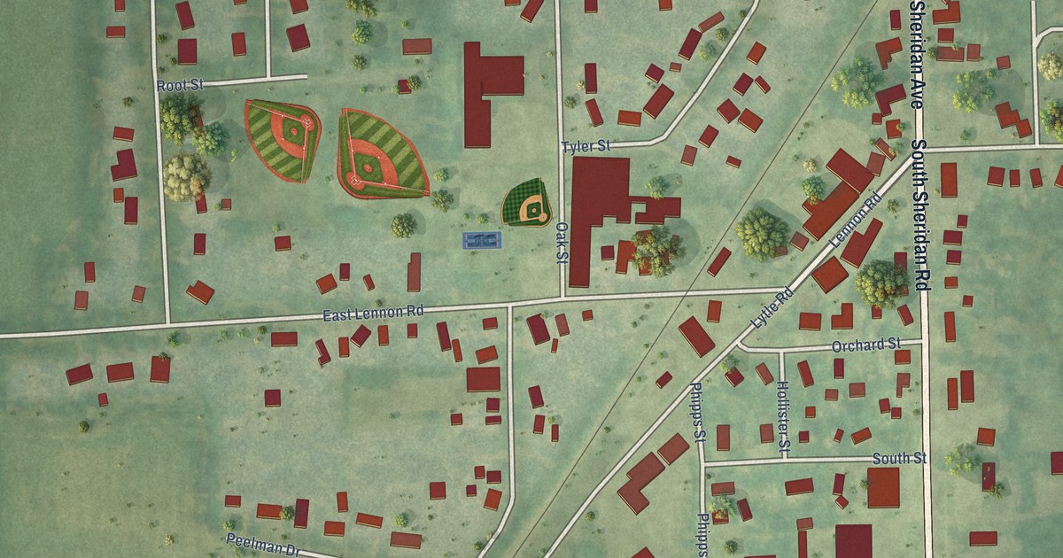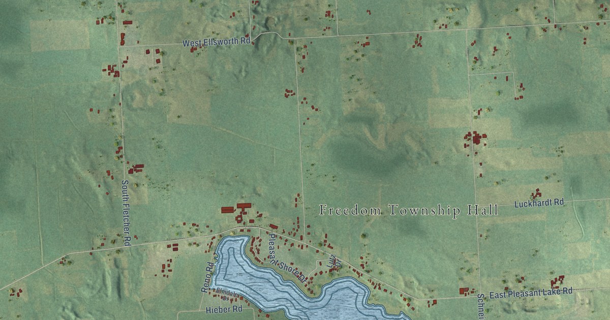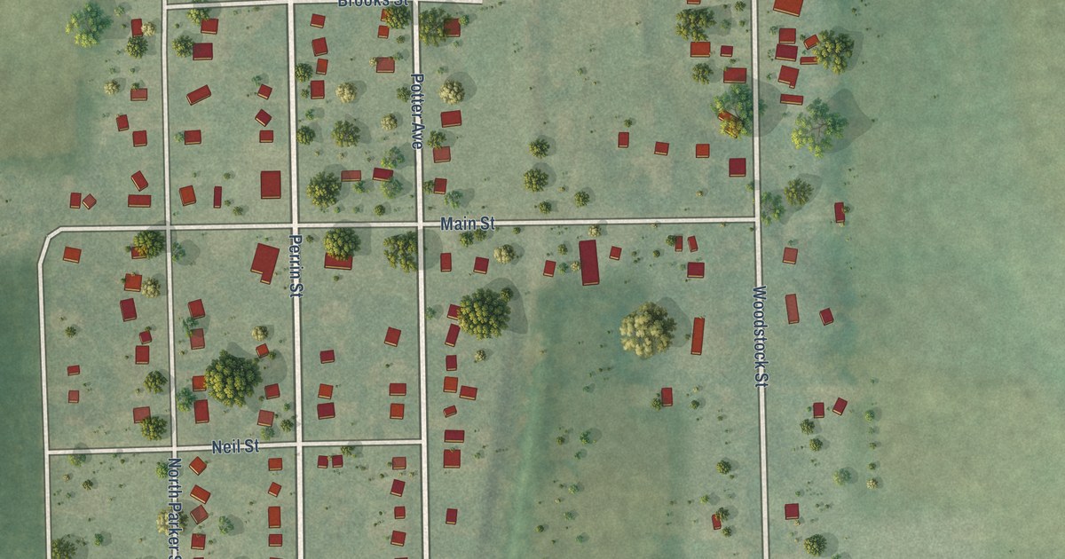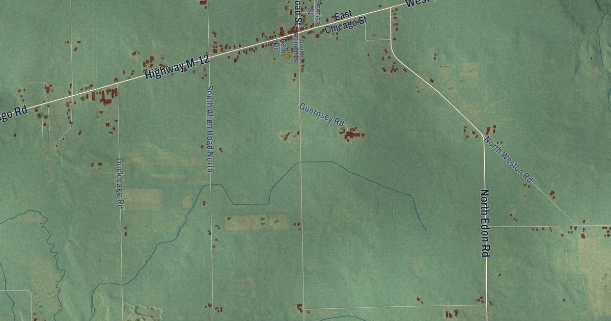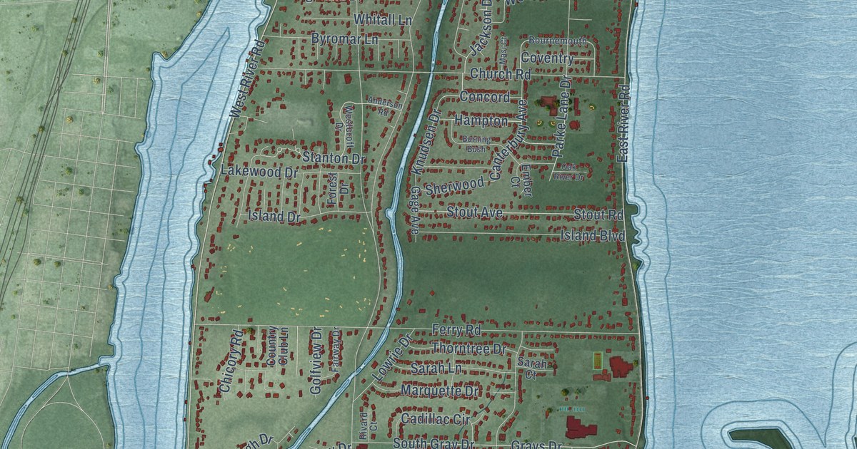
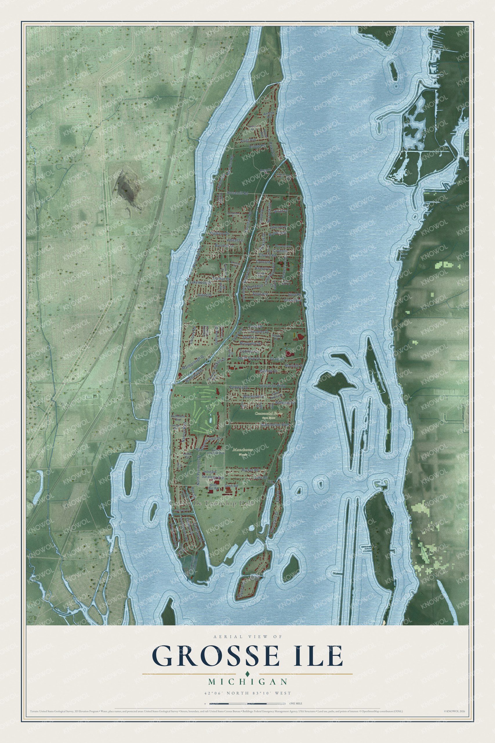
This beautifully detailed map of Grosse Ile, Michigan was created in 2026 using aerial imagery combined with modern topographical, census, street and landmark data. It's a modern aerial view of Grosse Ile in Wayne County, Michigan, that combines modern data with a vintage aesthetic. The roads feature printed names, and if you look closely you can find your exact house accurately shown in its correct location.
Explore an aerial view of Grosse Ile, Michigan
On this map you'll find Grosse Ile Township Hall, Centennial Farm Open Space, Manchester Woods, West River Road, Groh Road, Horsemill Road, Canterbury Avenue, Chatham Road, East River Road, Stanton Drive, Meridian Road, Parke Lane, and more. Each red shape is a building, so zoom in on the preview and look for yours.
Every town has a first chapter, and Grosse Ile is no exception. The record at arcgis.com puts it this way: "James Biddle built an altar cross, a minister’s kneeling bench, and a reading stand for the first services, held in 1868."
The Census Bureau counted 10,788 people here in 2020.
Take a closer look at the Grosse Ile map
Names on this map
These names are printed on this map.
Places: Grosse Ile Township Hall, Centennial Farm Open Space, Manchester Woods and Airport Industrial Park.
Streets and roads: West River Road, Groh Road, Horsemill Road, Canterbury Avenue, Chatham Road, East River Road, Stanton Drive, Meridian Road, Parke Lane, Thorofare Road, Grosse Ile Parkway, Bellevue Road.
More street names, A to Z
Anderson Road, Annette Avenue, Bayview Drive, Bournemouth, Bridge Road, Brodhead Road, Burning Bush, Byromar Lane, Cadillac Circle, Canal Drive, Chicory Road, Church Road, Coleman Drive, Concord, Country Club Lane, Coventry, Eighth Street, Elba Drive, Elba Island Drive, Elbamar Drive, Elba Road, Ember Court, Fairway Drive, Ferry Road, Fifth Street, Ford Yacht Club Road, Forest Drive, Gage Avenue, Golfview Drive, Graves Avenue, Grays Drive, Groh Svc Road, Hampton, Hawthorne Glen Drive, Hcl Jackson, Heron Avenue, Hickory Drive, Hickory Island Street, Highland Drive, Intrepid, Island Boulevard, Island Drive, Island Estate Drive, Ives Avenue, Jackson Drive, Johnson Road, Kathron Court, Keith Avenue, Knudsen Drive, Lake Road, Lakewood Drive, Larkspur Avenue, Loma Circle, Loma Court, Lowrie Drive, Macomb Street, Magnolia Lane, Manchester Boulevard, Marlborough Drive, Marquette Drive, Masi Court, Mathias Drive, Nancys Boulevard, North Perimeter Street, Oak River Drive, Odonnell Drive, Parke Lane Drive, Parkway Drive, Paulina Avenue, Potowatomi Drive, Reo Road, Rivard Court, Rucker Road, Ruthmere Avenue, Saint James Drive, Sarah Court, Sarah Lane, Saratoga Avenue, Sherwood, South Gray Drive, Southpointe Road, Stout Avenue, Stout Road, Swan Island Drive, Third Street, Thorntree Drive, Voigt Avenue, Waterway Drive, Westcroft Drive, Whitall Lane, Woodcrest, Wood Drive, Woodside Drive.
Created by KNOWOL in 2026. The buildings are small red shapes, the roads carry their printed names, and shaded relief shows the shape of the land. The title panel reads "AERIAL VIEW OF GROSSE ILE, MICHIGAN" with 42°06' NORTH 83°10' WEST.
Hang it in the hallway, the office or the cabin, or give it to someone who left Grosse Ile and still calls it home. Open the preview and look for a street you know. See sizes and frames for the Grosse Ile map.