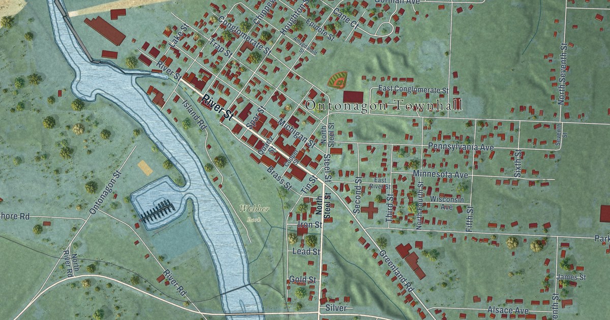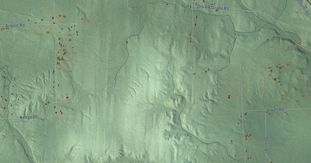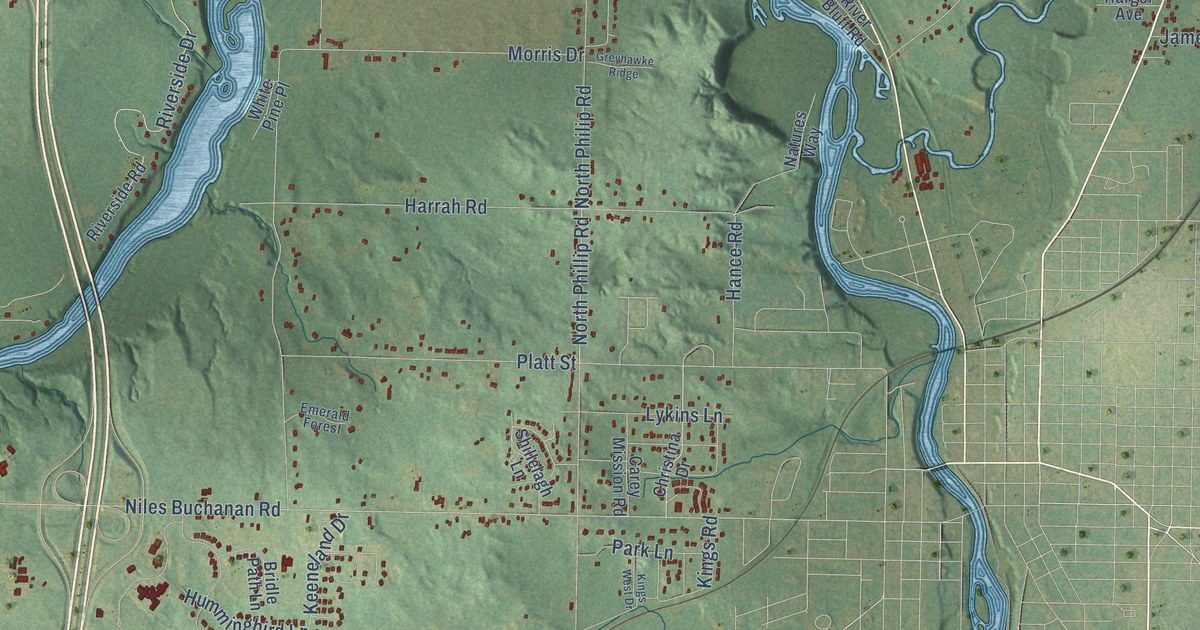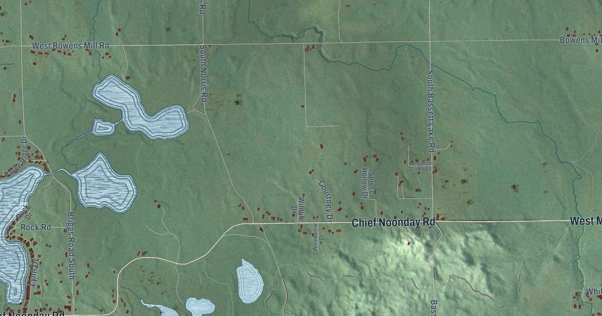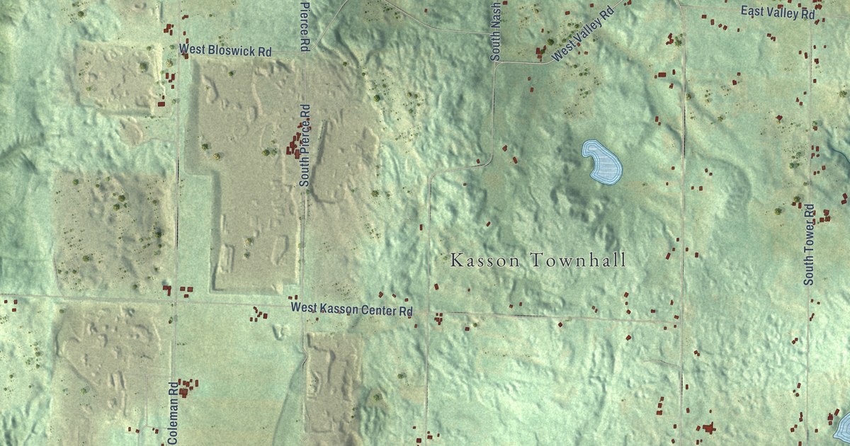
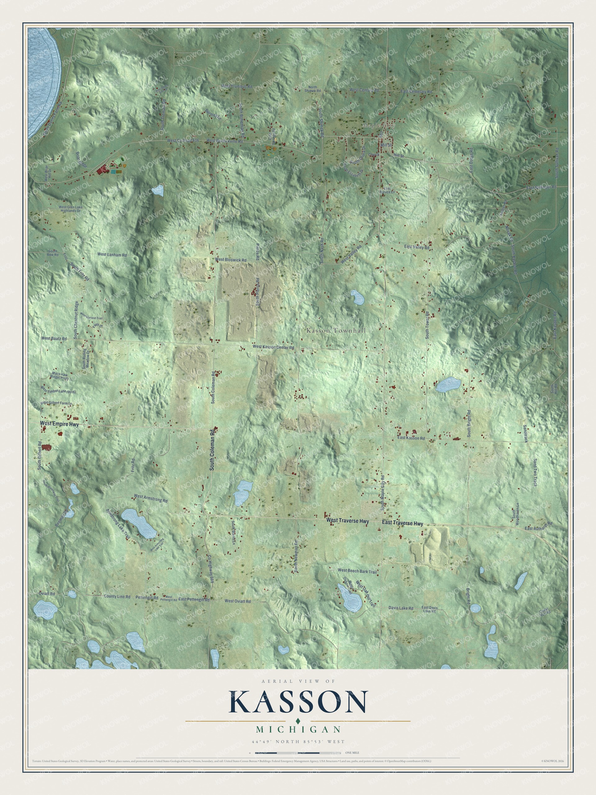
This beautifully detailed map of Kasson, Michigan was created in 2026 using aerial imagery combined with modern topographical, census, street and landmark data. It's a modern aerial view of Kasson in Leelanau County, Michigan, that combines modern data with a vintage aesthetic. The roads feature printed names, and if you look closely you can find your exact house accurately shown in its correct location.
Explore an aerial view of Kasson, Michigan
On this map you'll find Kasson Townhall, Maple City, South Coleman Road, West Traverse Highway, East Traverse Highway, West Empire Highway, West Co Road 616, West Burdickville Road, West Valley Road, Mill Street, East Bellinger Road, Co Highway 669, and more. Each red shape is a building, so zoom in on the preview and look for yours.
Here is a piece of Kasson history, in the words of the record. The Traverse Region puts it this way: "Kasson was organized by the board of supervisors in January, 1865, and embraced the territory of Township 28 north, of Range 13 west."
The Census Bureau counted 1,647 people here in 2020.
Take a closer look at the Kasson map
Names on this map
These names are printed on this map.
Places: Kasson Townhall and Maple City.
Streets and roads: South Coleman Road, West Traverse Highway, East Traverse Highway, West Empire Highway, West County Road 616, West Burdickville Road, West Valley Road, Mill Street, East Bellinger Road, County Highway 669, South Shimek Road, East Pettengill Road.
More street names, A to Z
Armstrong Lake Trail, Beeman Road, Briar Ridge, Bright Road, Burnley Lane, Cedar Run Road, Church, Cold Springs Road, County Line Road, Davis Lake Road, East Cemetary Road, East Darga Road, East Davis Lake Road, East Kasben Road, East Kasson Road, East Ruthardt Road, East Spruce Lane, East Valley Road, Faith Drive, Fritz, Fritz Road, Hill Street, Kasben Road, North Shimek Road, Novak Road, Oviatt Road, Pettengill Road, Pierce Road, Sandtrack, Sand Two Track, South Bohemian Road, South Bow Road, South Bright Road, South Chestnut Ridge, South Dunns Farm Road, South Elizabeth Drive, South Fritz Road, South Gilbert Road, South Greenway Trail, South Hill Road, South Kasben Road, South Maple City Road, South Martin Lane, South Nash Road, South Newman Road, South Olivia Drive, South Pierce Road, South Rolling Meadow Drive, South Sullivan Road, South Tower Road, South Tremain Road, South Woodhaven Lane, West Armstrong Lake Trail, West Armstrong Road, West Baatz Road, West Beech Bark Trail, West Bloswick Road, West Briar Hill Drive, West Century Road, West Gilbert Farm Lane, West Glen Lake Highlands Drive, West Harvest Trail, West Hidden Birch Drive, West Kasson Center Road, West Lanham Road, West Oak Hill Trail, West Oviatt Road, West Oxbow Trail, West Pettengill Road, West Trumbull Road.
Created by KNOWOL in 2026. The buildings are small red shapes, the roads carry their printed names, and shaded relief shows the shape of the land. The title panel reads "AERIAL VIEW OF KASSON, MICHIGAN" with 44°49' NORTH 85°53' WEST.
It suits a den, a classroom or a front hall, and it makes a gift for anyone with Kasson roots. Open the preview and find the block you know. See sizes and frames for the Kasson map.