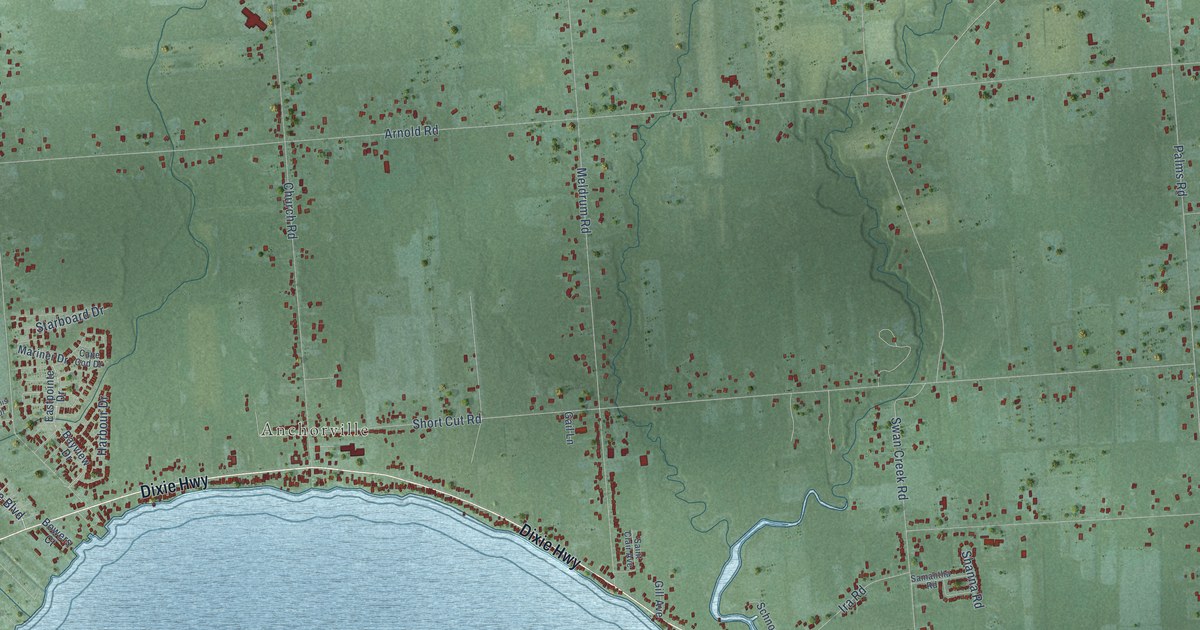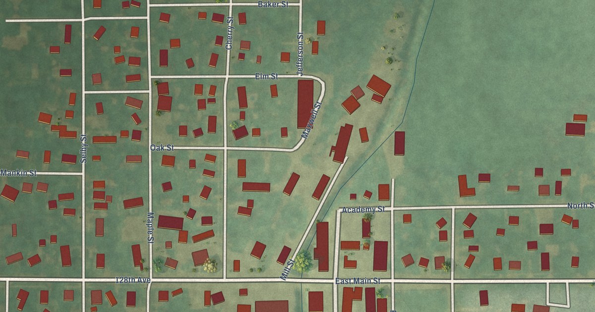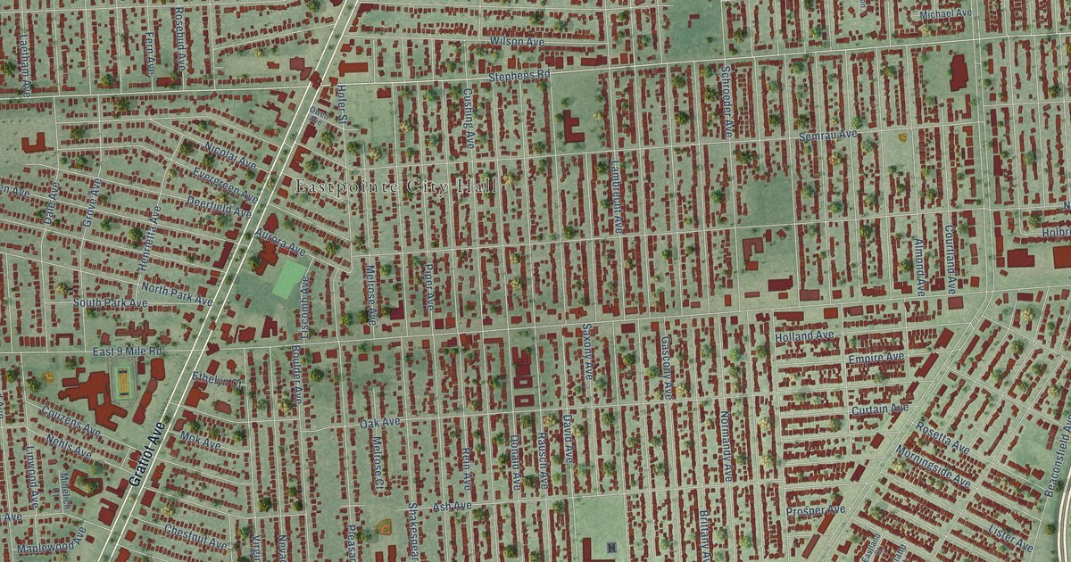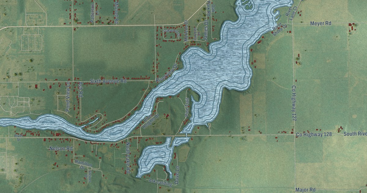
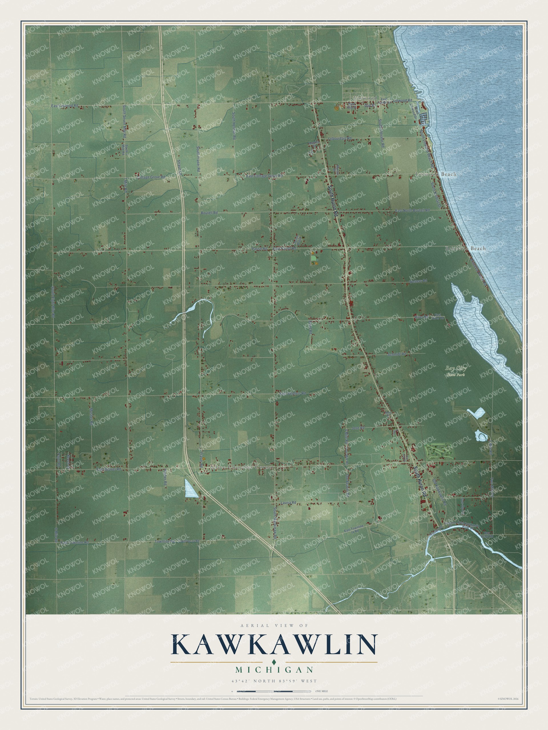
This beautifully detailed map of Kawkawlin, Michigan was created in 2026 using aerial imagery combined with modern topographical, census, street and landmark data. It's a modern aerial view of Kawkawlin in Bay County, Michigan, that combines modern data with a vintage aesthetic. The roads feature printed names, and if you look closely you can find your exact house accurately shown in its correct location.
Explore an aerial view of Kawkawlin, Michigan
On this map you'll find Bay City State Park, Brissette Beach, Linwood, Linwood Beach, Three Churches Corner, South Huron Road, Guy Street, East Linwood Road, East Parish Road, South Eight Mile Road, Parish Road, East Cottage Grove Road, and more. Each red shape is a building, so zoom in on the preview and look for yours.
Here is a piece of Kawkawlin history, in the words of the record. The History of Bay County puts it this way: "In 1844-45 James Fraser, in association with Cromwell Barney and Israel Catlin, erected the water-mill at Kawkawlin."
The Census Bureau counted 4,419 people here in 2020.
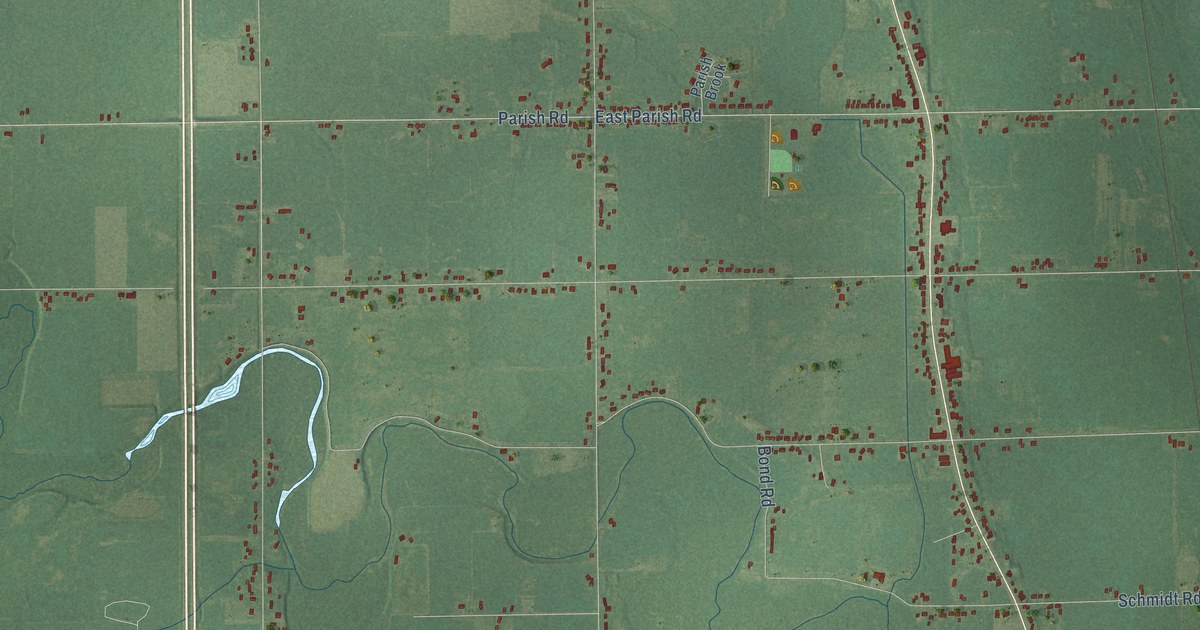
Take a closer look at the Kawkawlin map
Names on this map
These names are printed on this map.
Places: Bay City State Park, Brissette Beach, Linwood, Linwood Beach and Three Churches Corner.
Streets and roads: South Huron Road, Guy Street, East Linwood Road, East Parish Road, South Eight Mile Road, Parish Road, East Cottage Grove Road, South Seven Mile Road, South Linwood Beach Road, South Mackinaw Road, South Fraser Road, 8 Mile Road.
More street names, A to Z
2 Mile Road, 4 Mile Road, 7 Mile Road, Beech Drive, Bond Road, Boutell Road, Boy Scout Road, Brissette Beach Road, Cottage Grove Road, East Beaver Road, East Center Street, East Kawkawlin River Drive, East North Boutell Road, East River Road, East Seidlers Road, East Townline 14 Road, East Townline Road, Four Mile Road, Fraser Road, Hoyle Lane, Hupher Road, Jeske Drive, Jose Road, Lauria Road, Lebourdais Road, Linwood Road, Mara Drive, Marian Drive, Maroba Drive, Mosher Road, Oak Lane Road, Old Beaver Road, Old Kawkawlin Road, Pajot Road, Parish Brook, River Road, Russell Road, Schmidt Road, South 7 Mile Road, South Elevator Road, South Heritier Road, South Kolbiaz Drive, South Linwood Drive, Straun Lane, Sun-Up Lane, Townline 14 Road, Townline Road, Two Mile Road, West Guy Street, Wetters Road, Wildwood Road.
Created by KNOWOL in 2026. The buildings are small red shapes, the roads carry their printed names, and shaded relief shows the shape of the land. The title panel reads "AERIAL VIEW OF KAWKAWLIN, MICHIGAN" with 43°42' NORTH 83°59' WEST.
It suits a den, a classroom or a front hall, and it makes a gift for anyone with Kawkawlin roots. Open the preview and find the block you know. See sizes and frames for the Kawkawlin map.