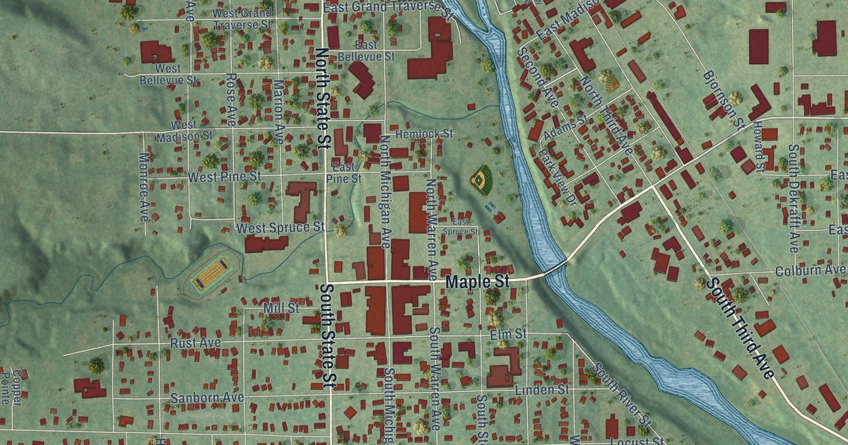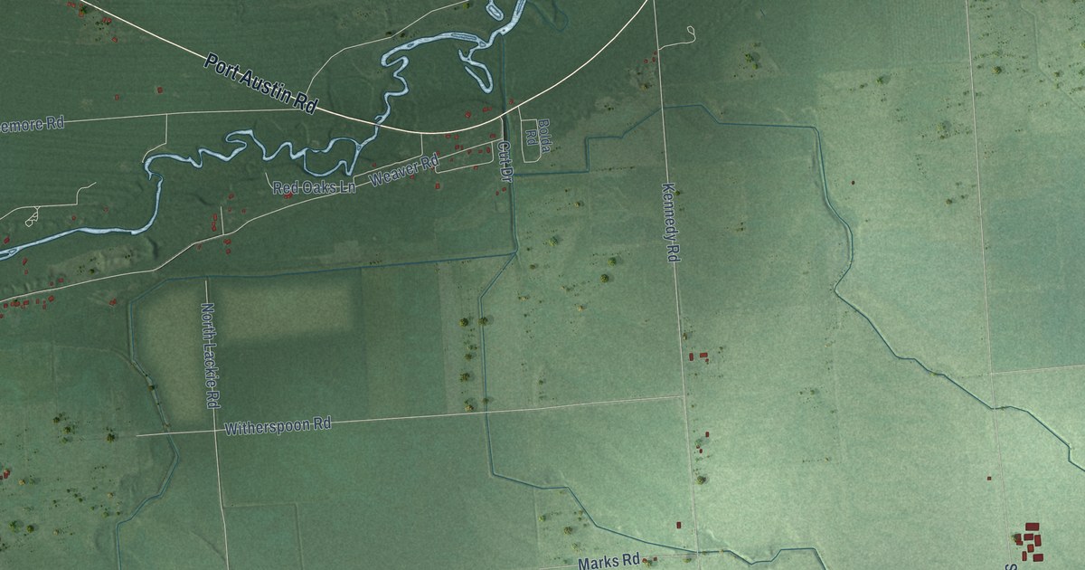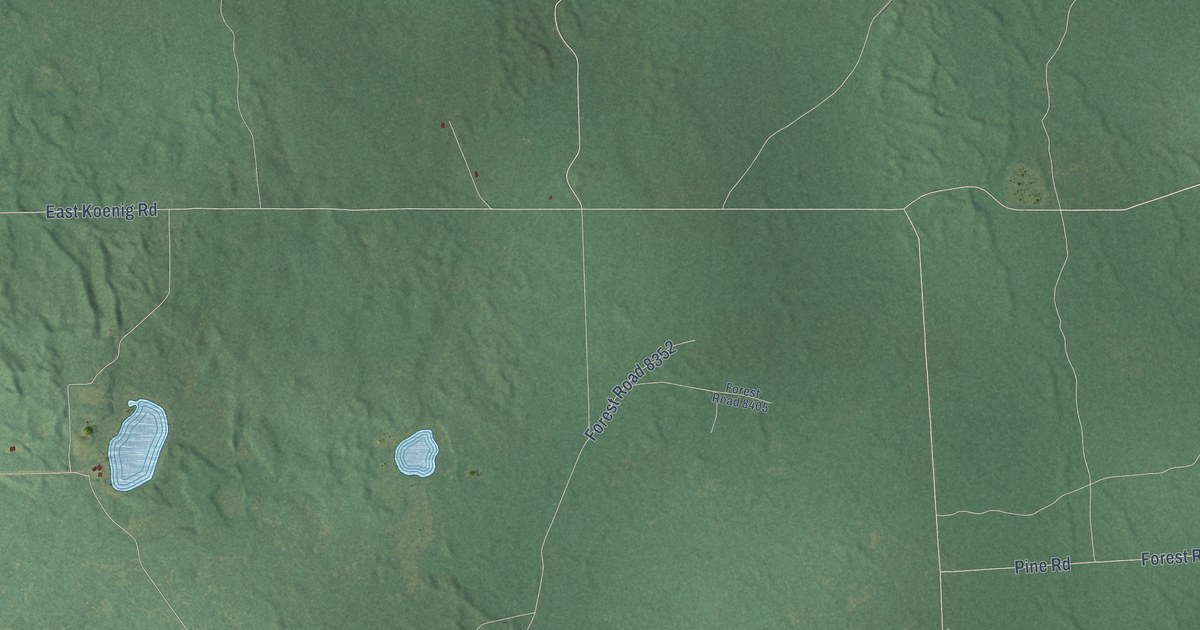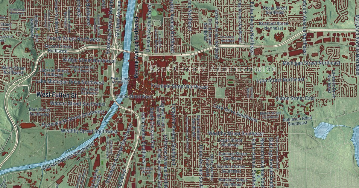
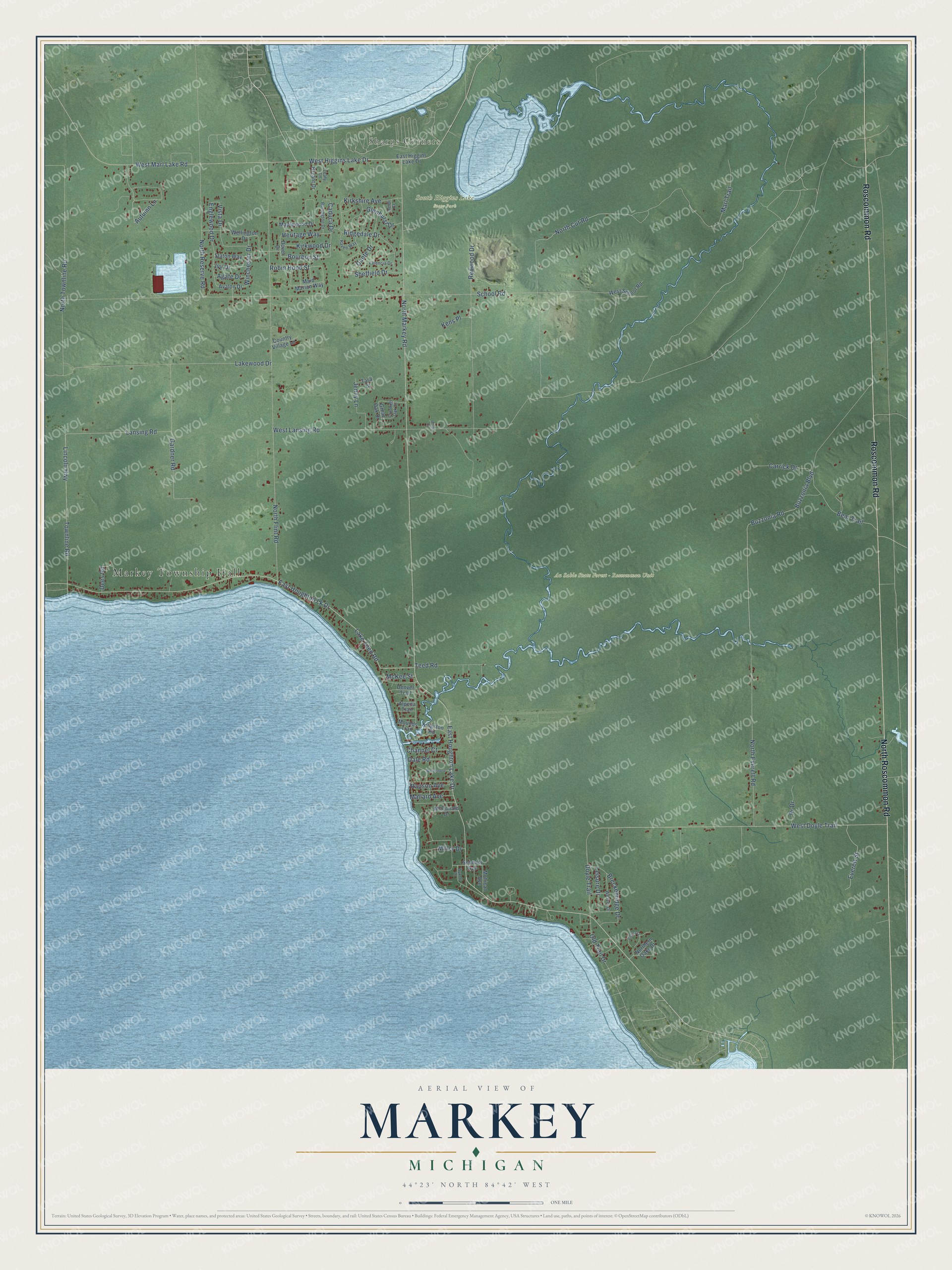
This beautifully detailed map of Markey, Michigan was created in 2026 using aerial imagery combined with modern topographical, census, street and landmark data. It's a modern aerial view of Markey in Roscommon County, Michigan, that combines modern data with a vintage aesthetic. The roads feature printed names, and if you look closely you can find your exact house accurately shown in its correct location.
Explore an aerial view of Markey, Michigan
On this map you'll find Markey Township Hall, Sharps Corners, Au Sable State Forest – Roscommon Unit, South Higgins Lake State Park, Roscommon Road, North Roscommon Road, West Higgins Lake Drive, East Houghton Lake Drive, Bear Trail, Caduca Drive, Buzzonia Boulevard, Bourbon Street, and more. Each red shape is a building, so zoom in on the preview and look for yours.
Markey has a story worth telling. The Markey Township puts it this way: "Markey Township was founded as a sawmill settlement by William Markey. The first annual meeting of the Township was held the first Monday in May 1887, at the home of Benjamin Foster."
The Census Bureau counted 2,401 people here in 2020.
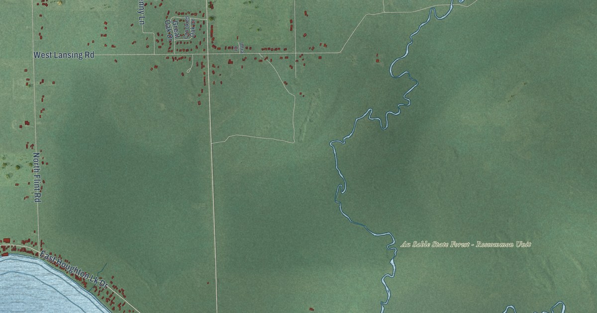
Take a closer look at the Markey map
Names on this map
These names are printed on this map.
Places: Markey Township Hall, Sharps Corners, Au Sable State Forest - Roscommon Unit and South Higgins Lake State Park.
Streets and roads: Roscommon Road, North Roscommon Road, West Higgins Lake Drive, East Houghton Lake Drive, Bear Trail, Caduca Drive, Buzzonia Boulevard, Bourbon Street, Buzzonia Road, McKee Street, North Markey Road, Englewood Drive.
More street names, A to Z
Agate Drive, Alpena Trail, Autumn Lane, Avalon Drive, Breckenridge Drive, Bryant Drive, Burlington Drive, Carrick Drive, Channel Court, Country Village Lane, Crooked Oak Court, Dale Road, Dante Drive, Dees Road, Denver Trail, Dover Drive, Doyle Trail, East Higgins Lake Drive, East Houghton Lk Drive, Everett Street, Gardner Road, Glenhurst Drive, Great Oak Drive, Heidi Court, Heritage Way, Ivy Drive, Jenny Lane, Kens Place, Kingston Road, Kirkshire Avenue, Kirkwood Drive, Lake Teed Road, Lakewood Drive, Lansing Road, Leafy Lane, Leisure Drive, Lincoln Highway, Maid Marian Way, Mallard Avenue, Maplewood Drive, Marl Trail, McDonald Drive, Miller Drive, Mohican Avenue, Mounds Trail, North Cut Road, Northern Oaks Drive, North Everett Road, North Flint Road, North Reserve Road, North Townline Road, Old Trail Drive, Pr Drive, Rapson Avenue, Raven Way, Redwood Drive, Ridgedale Drive, Robin Hood Street, Schmidt Avenue, School Road, Sheffield Drive, Staton Way, Tara Court, Teed Road, Townline Road, Ultra Court, Valencia Drive, Vienna Court, Vista Drive, Weaver Drive, Wellington Drive, West Doyle Trail, West Lansing Road, West Marl Lake Road, West School Road, Winchester Drive, Windemere, Wykoff Drive.
Created by KNOWOL in 2026. The buildings are small red shapes, the roads carry their printed names, and shaded relief shows the shape of the land. The title panel reads "AERIAL VIEW OF MARKEY, MICHIGAN" with 44°23' NORTH 84°42' WEST.
It looks right in a kitchen, an office or a den, and it's a gift for anyone who grew up in Markey or moved away. Open the preview and find your street. See sizes and frames for the Markey map.