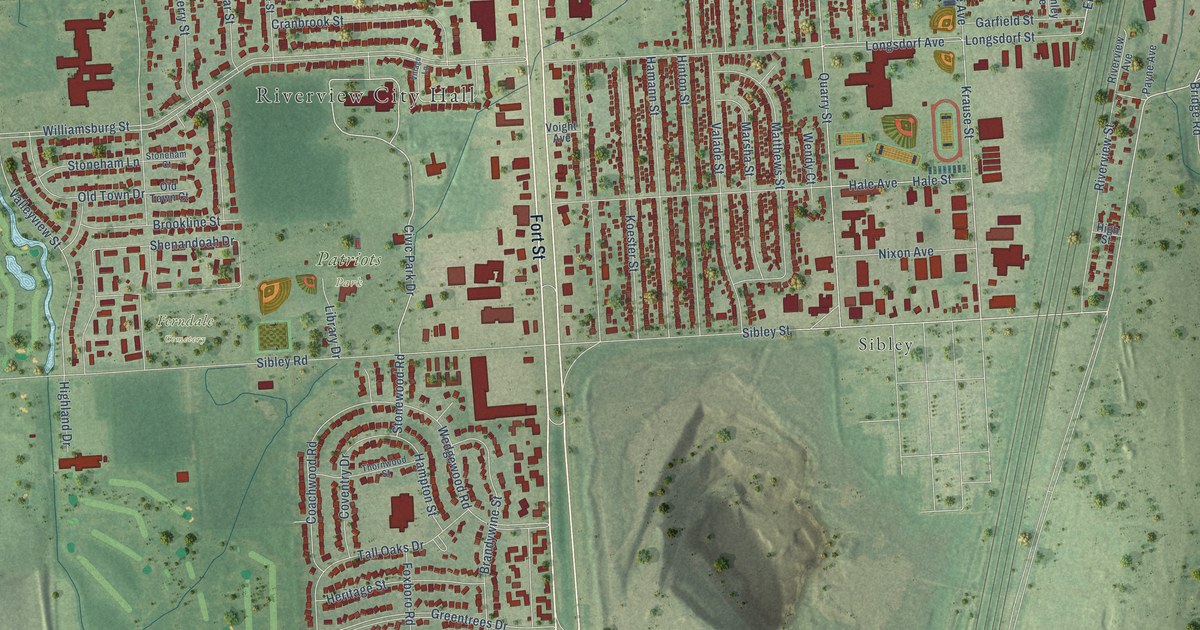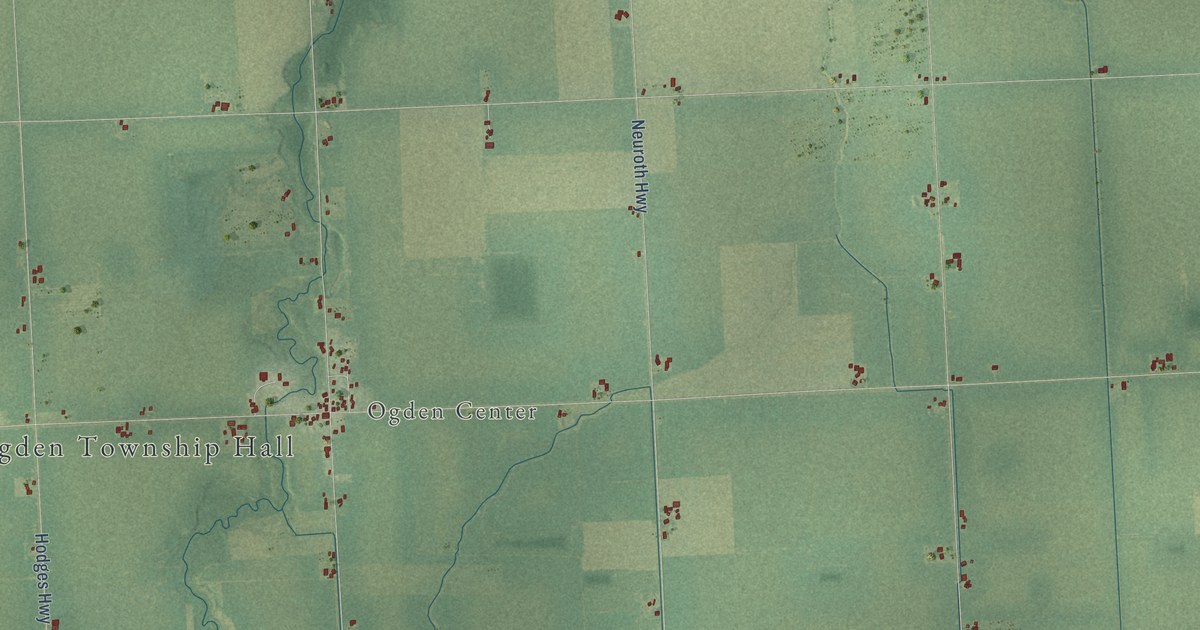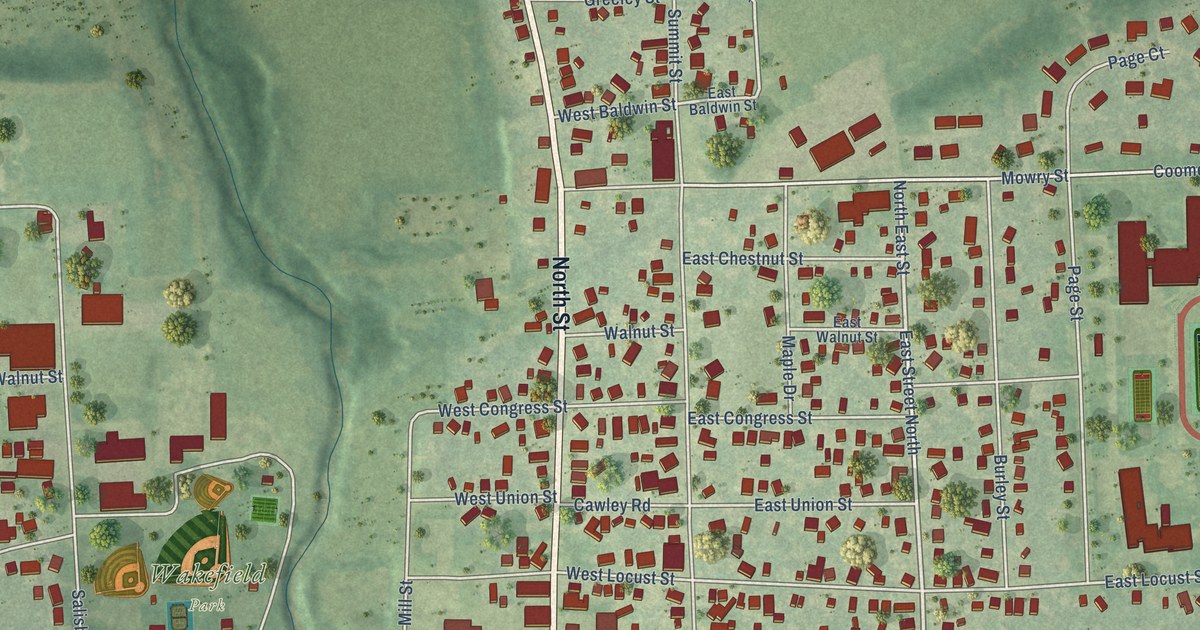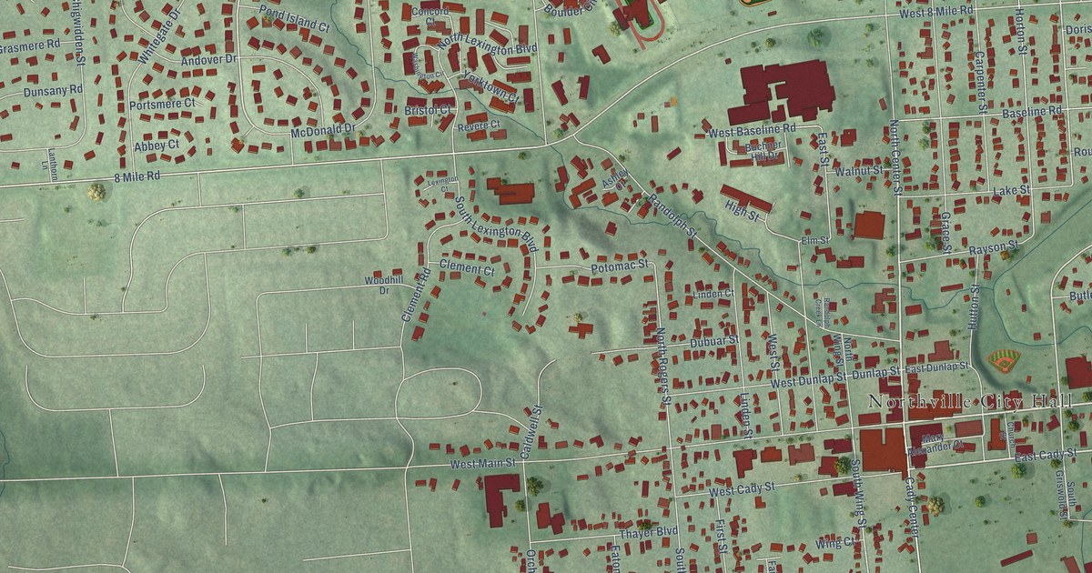
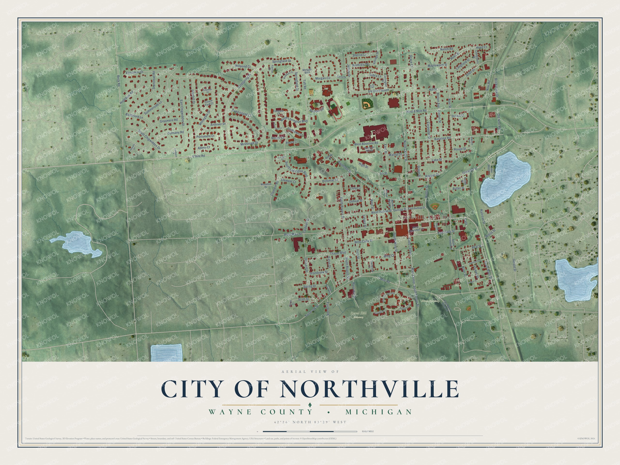
This beautifully detailed map of Northville, Michigan was created in 2026 using aerial imagery combined with modern topographical, census, street and landmark data. It's a modern aerial view of Northville in Wayne County, Michigan, that combines modern data with a vintage aesthetic. The roads feature printed names, and if you look closely you can find your exact house accurately shown in its correct location.
Explore an aerial view of Northville, Michigan
On this map you'll find Northville City Hall, Hines Parkway, Lexington Commons, Rural Hill Cemetery, River Park, North Center Street, South Main Street, Cady, East Cady Street, Springfield Drive, Griswold Street, Coldspring Drive, and more. Each red shape is a building, so zoom in on the preview and look for yours.
Northville has a story worth telling. The record at arcgis.com puts it this way: "The Mill Race Historical Village was established in 1972 as a site for relocating buildings faced with demolition."
Northville is a city in Wayne County. The Census Bureau counted 6,119 people here in 2020.
Take a closer look at the Northville map
Names on this map
These names are printed on this map.
Places: Northville City Hall, Hines Parkway, Lexington Commons, Rural Hill Cemetery and River Park.
Streets and roads: North Center Street, South Main Street, Cady, East Cady Street, Springfield Drive, Griswold Street, Coldspring Drive, Novi Street, Cady Center, Main Center, South Center Street, 8 Mile Road.
More street names, A to Z
7 Mile Road, Abbey Court, Allen Drive, Andover Drive, Ashley Court, Baseline Road, Battleford Lane, Beal Street, Beck Road, Boulder Circle, Bradburn Court, Brickscape Drive, Bristol Court, Buchner Hill Drive, Butler Street, Caldwell Street, Canterbury Street, Carpenter Street, Carrington Drive, Church Street, Clement Court, Clement Road, Coach Ford Court, Concord Court, Covington Court, Debra Lane, Dorisa Court, Dubuar Street, Dunlap Street, Dunsany Court, Dunsany Road, East Chigwidden Street, East Dunlap Street, East North Hines Drive, East Street, Eaton Drive, Eaton Drive West, Elmsmere Drive, Elm Street, Ely Court, Ely Drive South, Fairbrook, Fairbrook Court, Fairbrook Street, Fairfax Court, First Street, Gardner Street, Gerald Street, Glenhill Drive, Grace Court, Grace Street, Grandview Street, Grasmere Road, Hampton Court, High Street, Hillridge Drive, Hill Street, Holmbury Road, Horton Avenue, Horton Street, Hutton Street, Jeffrey Drive, Johnson Avenue, Lake Shore Lane, Lake Street, Langfield Street, Lanthorn Lane, Larry Drive, Lexington Court, Linden Court, Linden Street, Maplewood Street, Mary Alexander Court, McDonald Drive, Millpond Court, Morgan Boulevard, Morgan Circle, North Ely Drive, North Lexington Boulevard, North Rogers Street, North Wing Street, Novi Road, Oakland Avenue, Old Novi Road, Orchard Drive, Penell Street, Pond Island Court, Portsmere Court, Potomac Street, Railroad Street, Randolph Creek Lane, Randolph Street, Rayson Street, Reed Court, Reed Street, Revere Court, River Street, Rouge Street, Rural Hill Street, Saint Lawrence Boulevard, Scott Court, Scott Street, Shannon Court, Sherrie Lane, South Chigwidden Drive, South Griswold Street, South Lexington Boulevard, South Rogers Street, South Wing Street, Spring Drive, Springfield Court, Stanstead Road, Summerside Lane, Taft Road, Thayer Boulevard, Wallis Street, Walnut Street, Washington Circle, Welch Road, West 8 Mile Road, West Baseline Road, West Cady Street, West Dunlap Street, West Main Street, West Street, Whitegate Drive, Wing Court, Woodhill Drive, Yerkes Street, Yorktown Court.
Created by KNOWOL in 2026. The buildings are small red shapes, the roads carry their printed names, and shaded relief shows the shape of the land. The title panel reads "AERIAL VIEW OF CITY OF NORTHVILLE, WAYNE COUNTY • MICHIGAN" with 42°26' NORTH 83°29' WEST.
It looks right in a kitchen, an office or a den, and it's a gift for anyone who grew up in Northville or moved away. Open the preview and find your street. See sizes and frames for the Northville map.