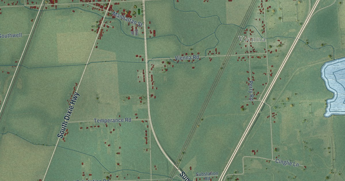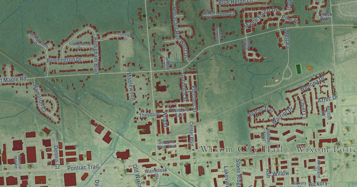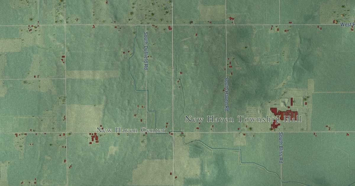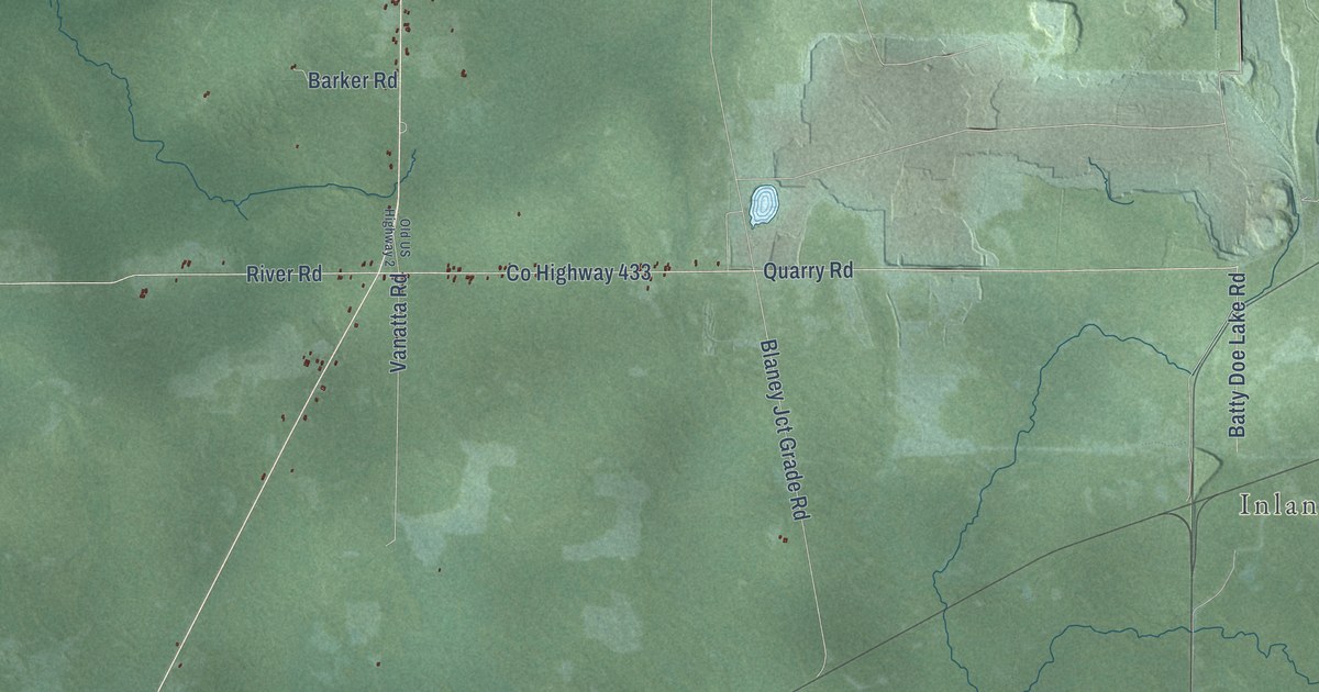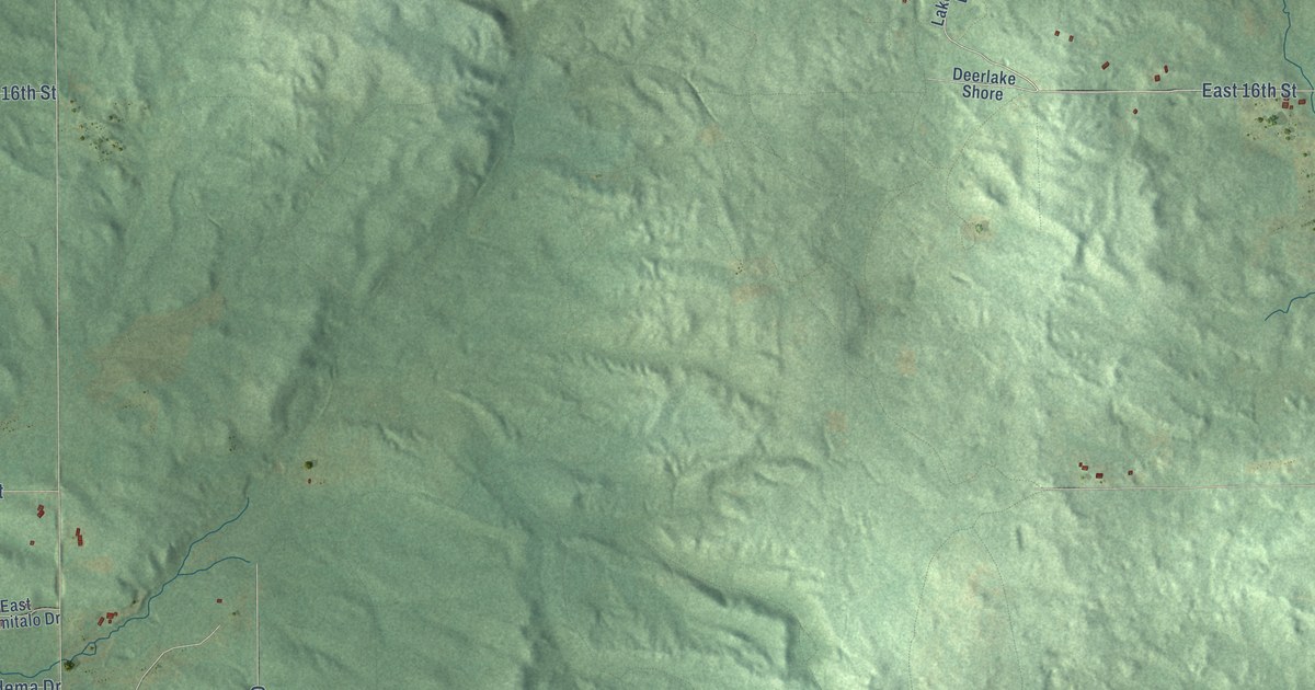
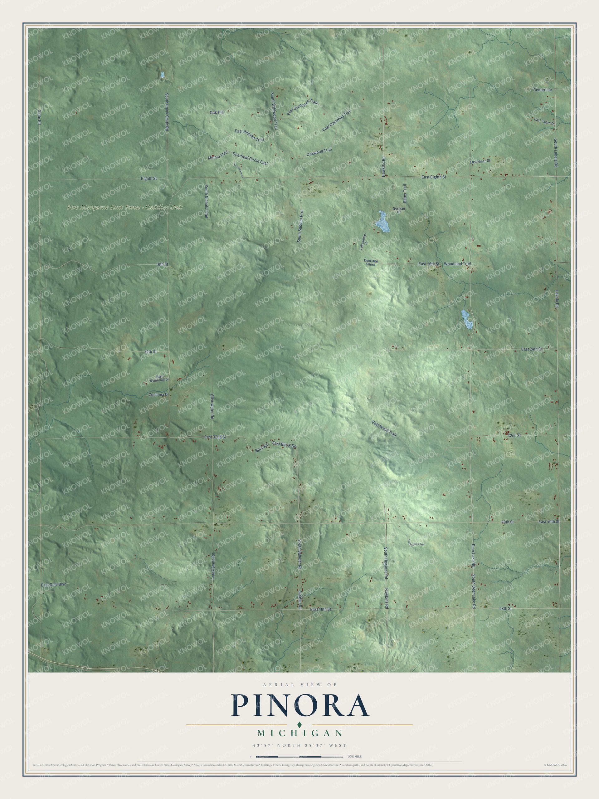
This beautifully detailed map of Pinora, Michigan was created in 2026 using aerial imagery combined with modern topographical, census, street and landmark data. It's a modern aerial view of Pinora in Lake County, Michigan, that combines modern data with a vintage aesthetic. The roads feature printed names, and if you look closely you can find your exact house accurately shown in its correct location.
Explore an aerial view of Pinora, Michigan
On this map you'll find Pere Marquette State Forest – Cadillac Unit, Deer Lake Road, Eighth Street, South Deer Lake Road, 48th Street, Hawkins Road, South Hawkins Road, 40th Street, South Saddler Road, Barx Road, East Bar-X Road, Hawkihs Road, and more. Each red shape is a building, so zoom in on the preview and look for yours.
Pinora has a story worth telling. The History of Northern Michigan and Its People puts it this way: "Besides Chase township, during 1871, the first year of county organization, there were created Ellsworth, Pinora and Pleasant Plains townships, Cherry Valley and Webber were formed in 1872, and Elk township in 1874."
The Census Bureau counted 757 people here in 2020.
Take a closer look at the Pinora map
Names on this map
These names are printed on this map.
Places: Pere Marquette State Forest - Cadillac Unit.
Streets and roads: Deer Lake Road, Eighth Street, South Deer Lake Road, 48th Street, Hawkins Road, South Hawkins Road, 40th Street, South Saddler Road, Barx Road, East Bar-X Road, Hawkihs Road, State Road.
More street names, A to Z
16th Street, 24th Street, 32nd Street, Bates Trail, Centerline, Clearwater Road, Deerfield Circle East, Deerlake Shore, East 16th Street, East 24th Street, East 32nd Street, East 40th Street, East 48th Street, East Dale Boulevard, East Eighth Street, East Fagan Drive, East Grandview Trail, East Hillview Trail, East Hines Street, East Lucas Trail, East Niemitalo Drive, East Oakwood Trail, East Weck Trail, Frank Smith Road, Lakeshore Drive, Lakola Road, Minnie Trail, Norman Drive, Northwood Trail, Oak Hill, Oakwood Trail, Saddler Road, South Frank Smith Road, South Lakola Road, South Nichols Trail, South Saddler Prrd, South Wildwood Trail, Woodland Trail, Zuidema Drive.
Created by KNOWOL in 2026. The buildings are small red shapes, the roads carry their printed names, and shaded relief shows the shape of the land. The title panel reads "AERIAL VIEW OF PINORA, MICHIGAN" with 43°57' NORTH 85°37' WEST.
It looks right in a kitchen, an office or a den, and it's a gift for anyone who grew up in Pinora or moved away. Open the preview and find your street. See sizes and frames for the Pinora map.