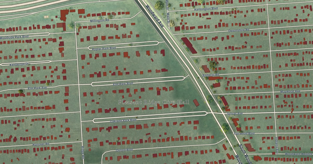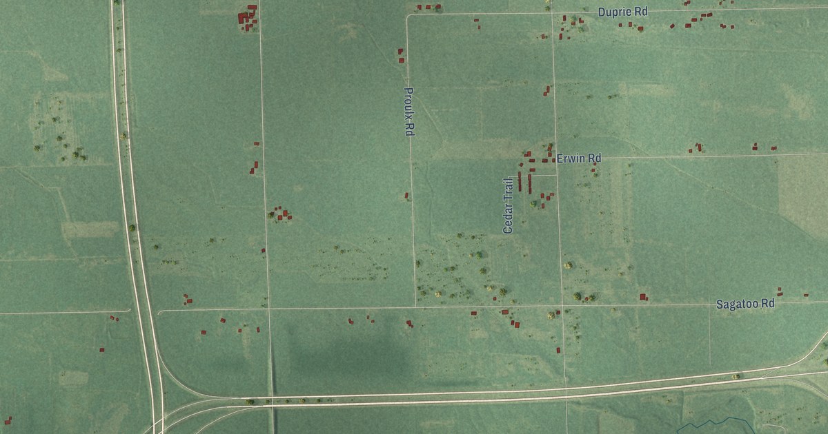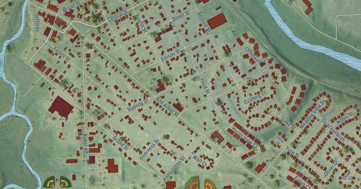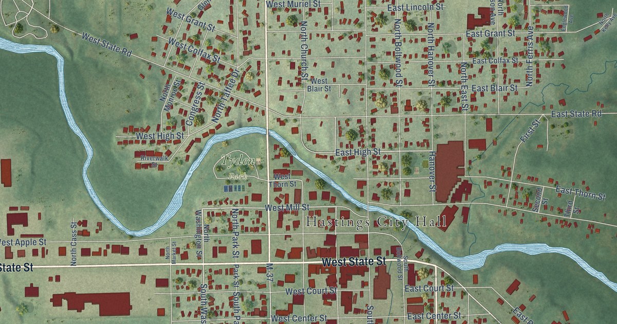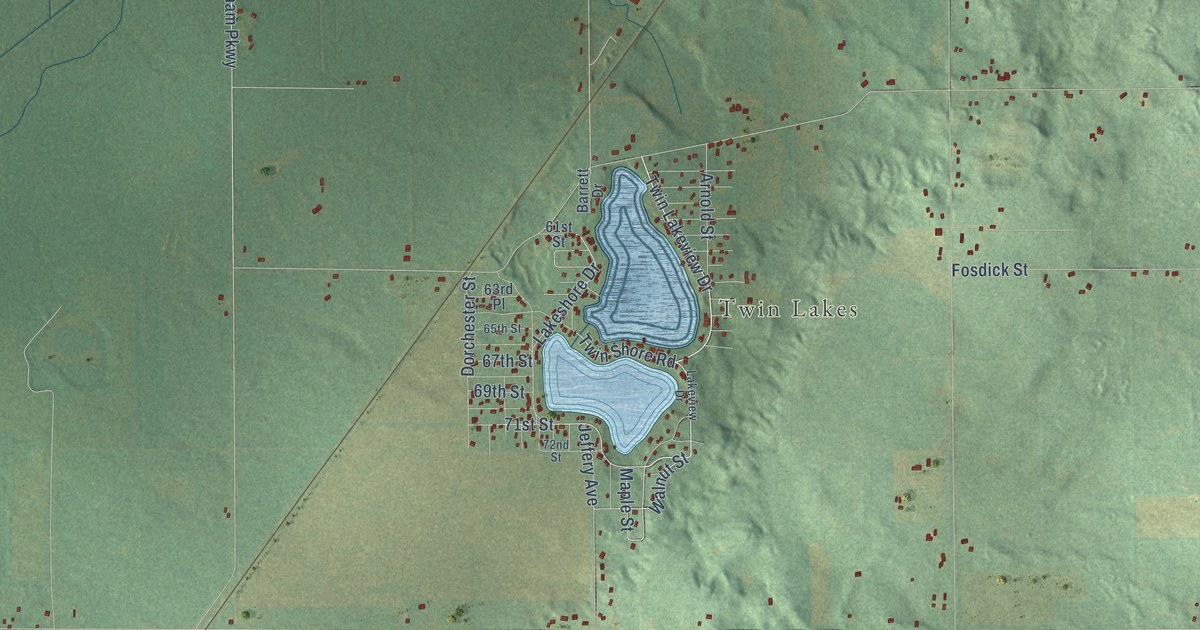
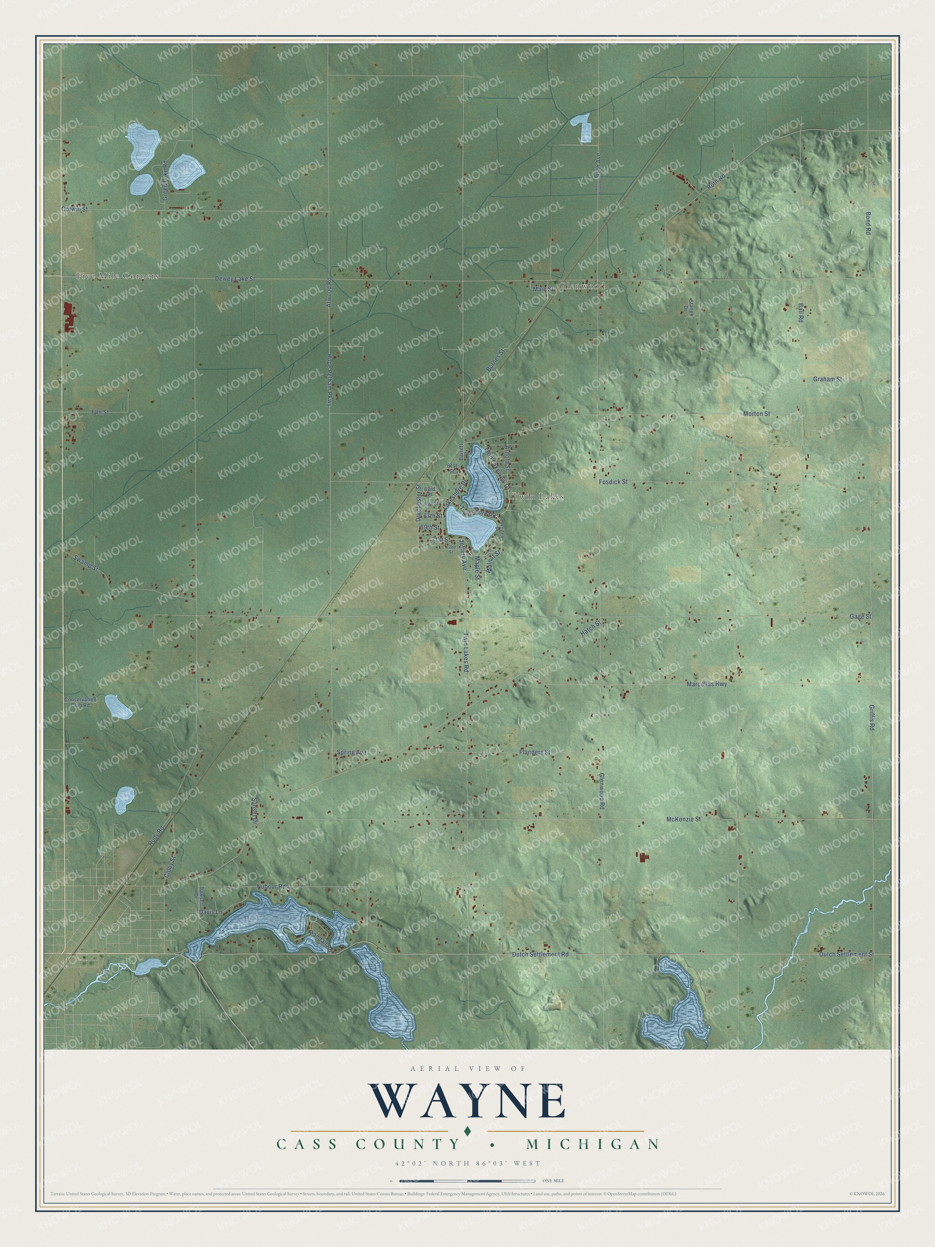
This beautifully detailed map of Wayne, Michigan was created in 2026 using aerial imagery combined with modern topographical, census, street and landmark data. It's a modern aerial view of Wayne in Cass County, Michigan, that combines modern data with a vintage aesthetic. The roads feature printed names, and if you look closely you can find your exact house accurately shown in its correct location.
Explore an aerial view of Wayne, Michigan
On this map you'll find Five Mile Corners, Glenwood, Twin Lakes, Twin Lakeview Drive, Lakeshore Drive, 71st Street, Twin Shore Road, Green Lake Road, Twin Lakes Road, Dutch Settlement Road, Dutch Settlement Street, Dewey Lake Street, and more. Each red shape is a building, so zoom in on the preview and look for yours.
Here is a piece of Wayne history, in the words of the record. The History of Cass County puts it this way: "Wayne Township was settled in 1833, and Jacob Zimmerman was probably the pioneer. In Silver Creek the pioneer was James McDaniel, who located there in 1834."
The Census Bureau counted 2,576 people here in 2020.
Take a closer look at the Wayne map
Names on this map
These names are printed on this map.
Places: Five Mile Corners, Glenwood and Twin Lakes.
Streets and roads: Twin Lakeview Drive, Lakeshore Drive, 71st Street, Twin Shore Road, Green Lake Road, Twin Lakes Road, Dutch Settlement Road, Dutch Settlement Street, Dewey Lake Street, Marcellus Highway, Glenwood Road, Gage Street.
More street names, A to Z
61st Street, 63rd Place, 65th Street, 67th Street, 69th Street, 72nd Street, 96th Avenue, Arnold Street, Atwood Road, Ball Road, Barrett Drive, Bond Road, Burnes Street, Colby Street, Conservation Club Road, Corwin Street, Davis Lane, Dawsett Drive, Dorchester Street, Elm Street, Flanders Street, Fosdick Street, Graham Street, Griffis Road, Hatch Street, Hope Pelham Parkway, Jeffery Avenue, Lakeview Drive, Main Street, Maple Street, McKenzie Street, Morton Street, Nubour Road, Randall Road, Roth Road, Rudy Road, Spring Avenue, Stanek Drive, Sunset Drive, Swamp Street, Van Buren Street, Walnut Street.
Created by KNOWOL in 2026. The buildings are small red shapes, the roads carry their printed names, and shaded relief shows the shape of the land. The title panel reads "AERIAL VIEW OF WAYNE, CASS COUNTY • MICHIGAN" with 42°02' NORTH 86°03' WEST.
It suits a den, a classroom or a front hall, and it makes a gift for anyone with Wayne roots. Open the preview and find the block you know. See sizes and frames for the Wayne, Cass County map.