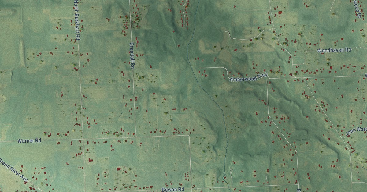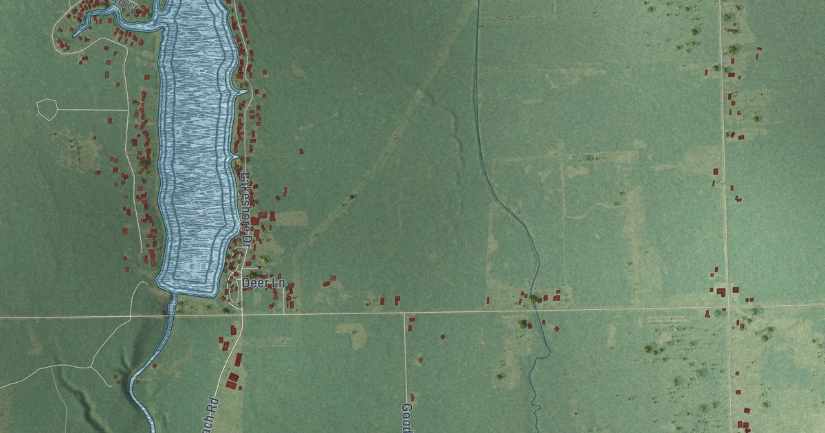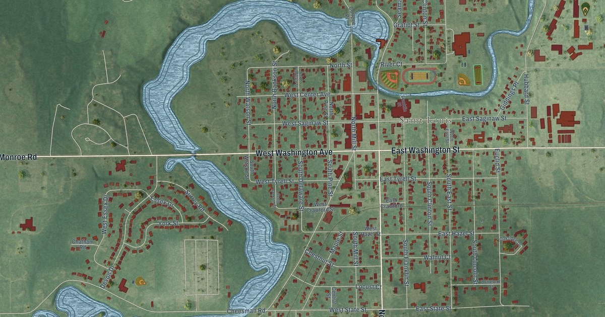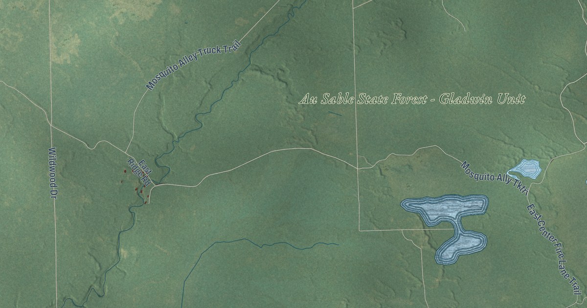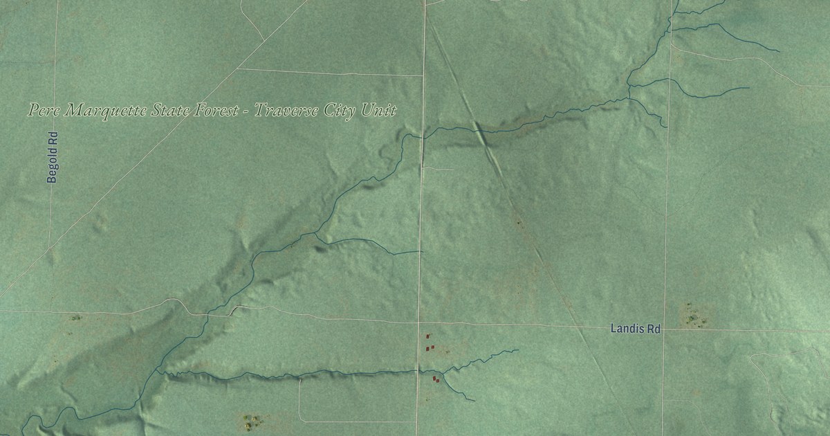
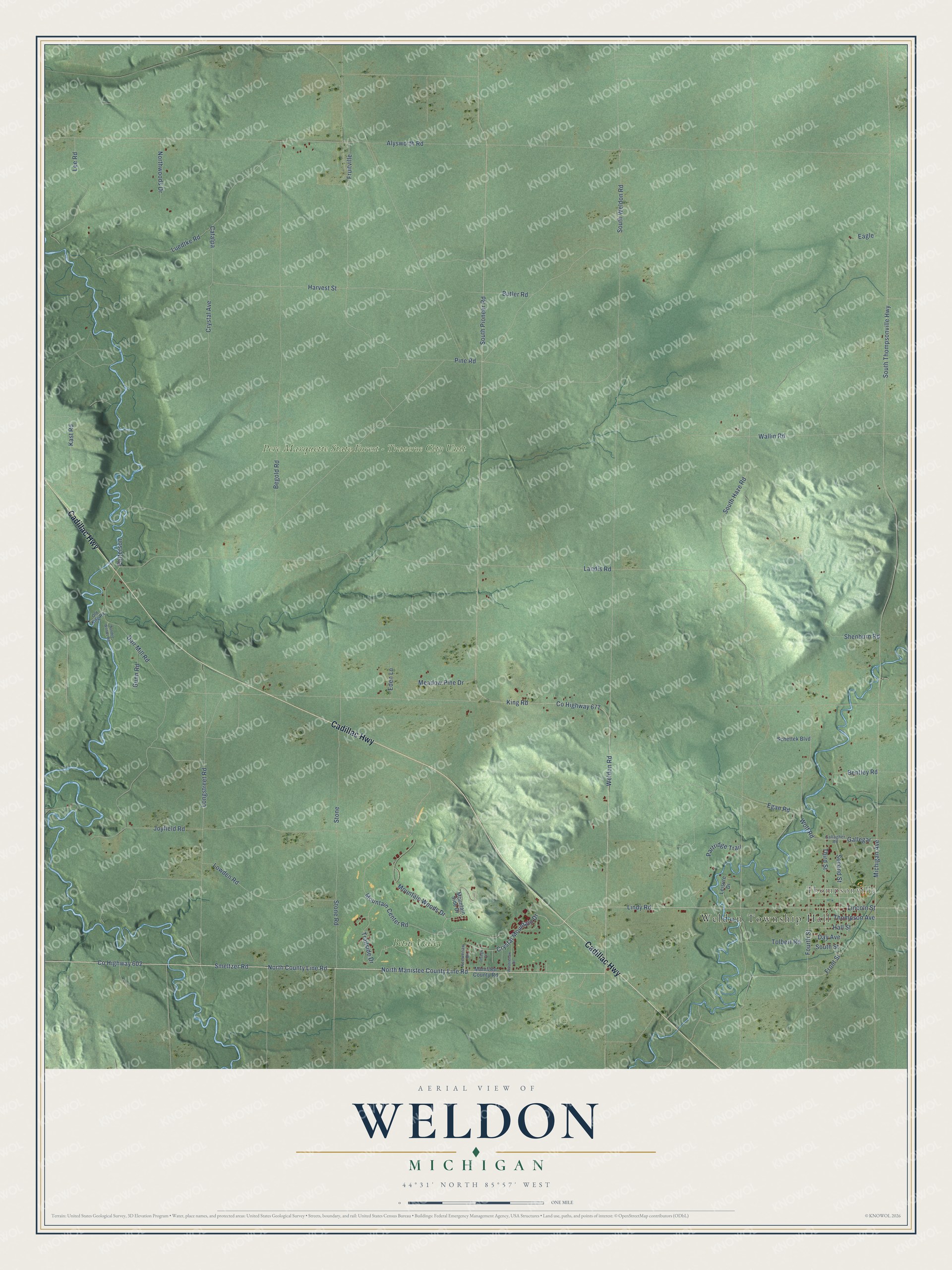
This beautifully detailed map of Weldon, Michigan was created in 2026 using aerial imagery combined with modern topographical, census, street and landmark data. It's a modern aerial view of Weldon in Benzie County, Michigan, that combines modern data with a vintage aesthetic. The roads feature printed names, and if you look closely you can find your exact house accurately shown in its correct location.
Explore an aerial view of Weldon, Michigan
On this map you'll find Weldon Township Hall, Thompsonville, Pere Marquette State Forest – Traverse City Unit, Betsie Valley, Cadillac Highway, North Manistee County Line Road, Smeltzer Road, North County Line Road, Co Highway 602, Crystal Mountain Drive, Lindy Road, Lincoln Street, and more. Each red shape is a building, so zoom in on the preview and look for yours.
Here is a piece of Weldon history, in the words of the record. The record at arcgis.com puts it this way: "By 1896, Thompsonville had established an electrical plant that provided light and power for its residents."
The Census Bureau counted 579 people here in 2020.
Take a closer look at the Weldon map
Names on this map
These names are printed on this map.
Places: Weldon Township Hall, Thompsonville, Pere Marquette State Forest - Traverse City Unit and Betsie Valley.
Streets and roads: Cadillac Highway, North Manistee County Line Road, Smeltzer Road, North County Line Road, County Highway 602, Crystal Mountain Drive, Lindy Road, Lincoln Street, County Highway 677, South Pioneer Road, Weldon Road, Michigan Avenue.
More street names, A to Z
Alysworth Road, Begold Road, Bentley Road, Butler Road, Catalpa, Crystal Avenue, Dair Mill Road, Day Avenue, Eagle, Eden Lane, Egan Road, Fourth Street, Front Street, Fruitville, Gallagher Road, Gallegar, Gunn Road, Hall Street, Harvest Street, Joyfield Road, Kast Road, Keewenaw Drive, King Road, Landis Road, Lee Road, Leisure Drive, Longstreet Road, Lowden Road, Luedtke Road, Manistee County Road, Meadow Pine Drive, Mountain Center Road, Mountain Side Drive, Mountain Woods Drive, Northwoods Drive, Old King Road, Otsego Court, Partridge Trail, Patterson, Pine Road, Sandee Woods Road, Schettek Boulevard, Second Street, Shenburn Road, South Haze Road, South Street, South Thompsonville Highway, South Weldon Road, Stone, Stone Road, Third Street, Thompson Avenue, Tolbert Road, Trailside Drive, Wallin Road, Washtenaw Drive, Wolf Road.
Created by KNOWOL in 2026. The buildings are small red shapes, the roads carry their printed names, and shaded relief shows the shape of the land. The title panel reads "AERIAL VIEW OF WELDON, MICHIGAN" with 44°31' NORTH 85°57' WEST.
It suits a den, a classroom or a front hall, and it makes a gift for anyone with Weldon roots. Open the preview and find the block you know. See sizes and frames for the Weldon map.