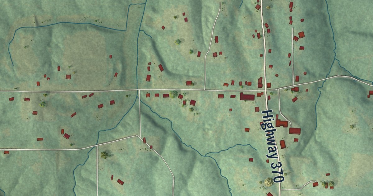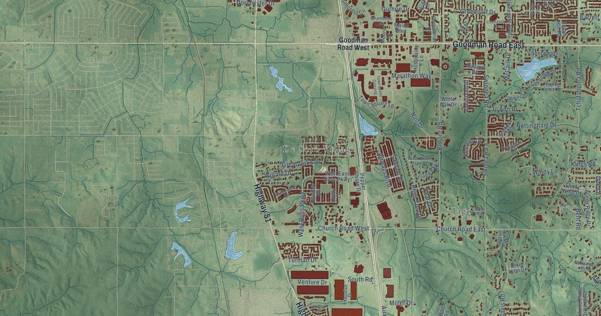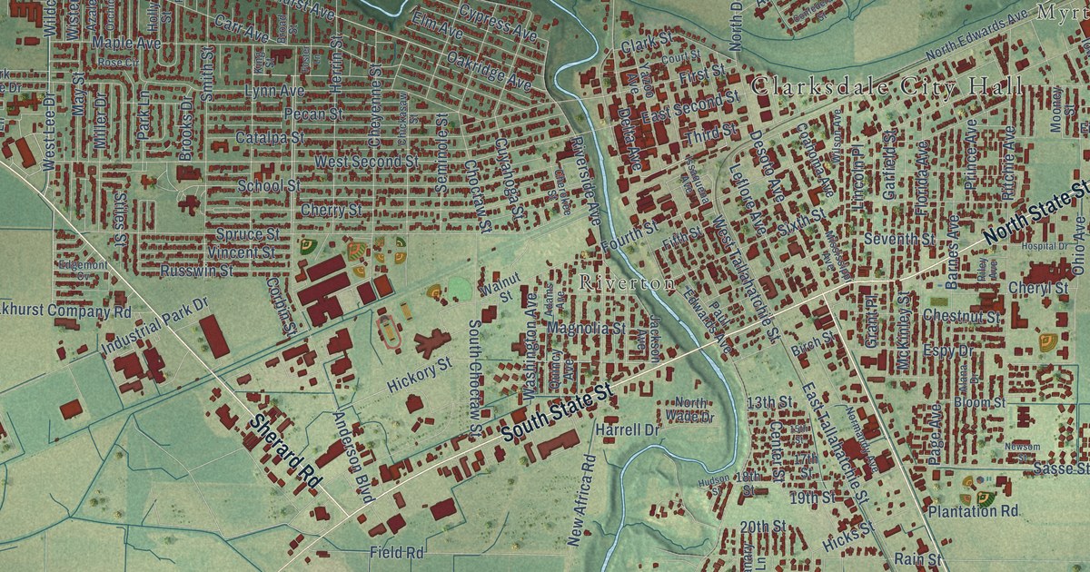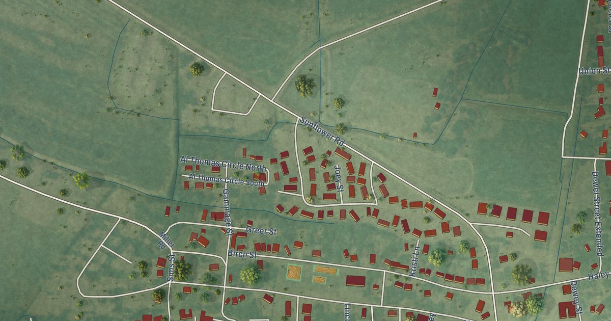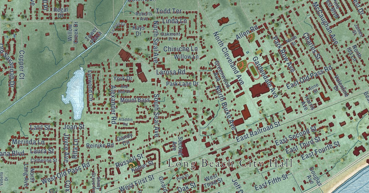
This beautifully detailed map of Long Beach, Mississippi was created in 2026 using aerial imagery combined with modern topographical, census, street and landmark data. It’s a one-of-a-kind view of Long Beach that combines accurate data with a vintage aesthetic. The map shows every building in its true location, many of the roads carry their names, and the shaded topographic relief shows the shape of the land.
Explore an aerial view of Long Beach, Mississippi
On the map you’ll find Long Beach City Hall, along with East Beach Boulevard, West Beach Boulevard, Seventh Street, Jeff Davis Avenue, East Railroad Street, Parkwood Drive, Sedgewick Drive, West First Street, Daughery Road, Reed Avenue, Pineville Road, and more. If you look closely you can even find your house accurately drawn in its correct location. Zoom in on the preview to look for yours.
Did you know this piece of Long Beach, Mississippi history?
From the Historical Marker Database: "On August 10, 1905, Governor James K. Vardaman issued a proclamation incorporating the Town of Long Beach."
Take a closer look at the Long Beach map
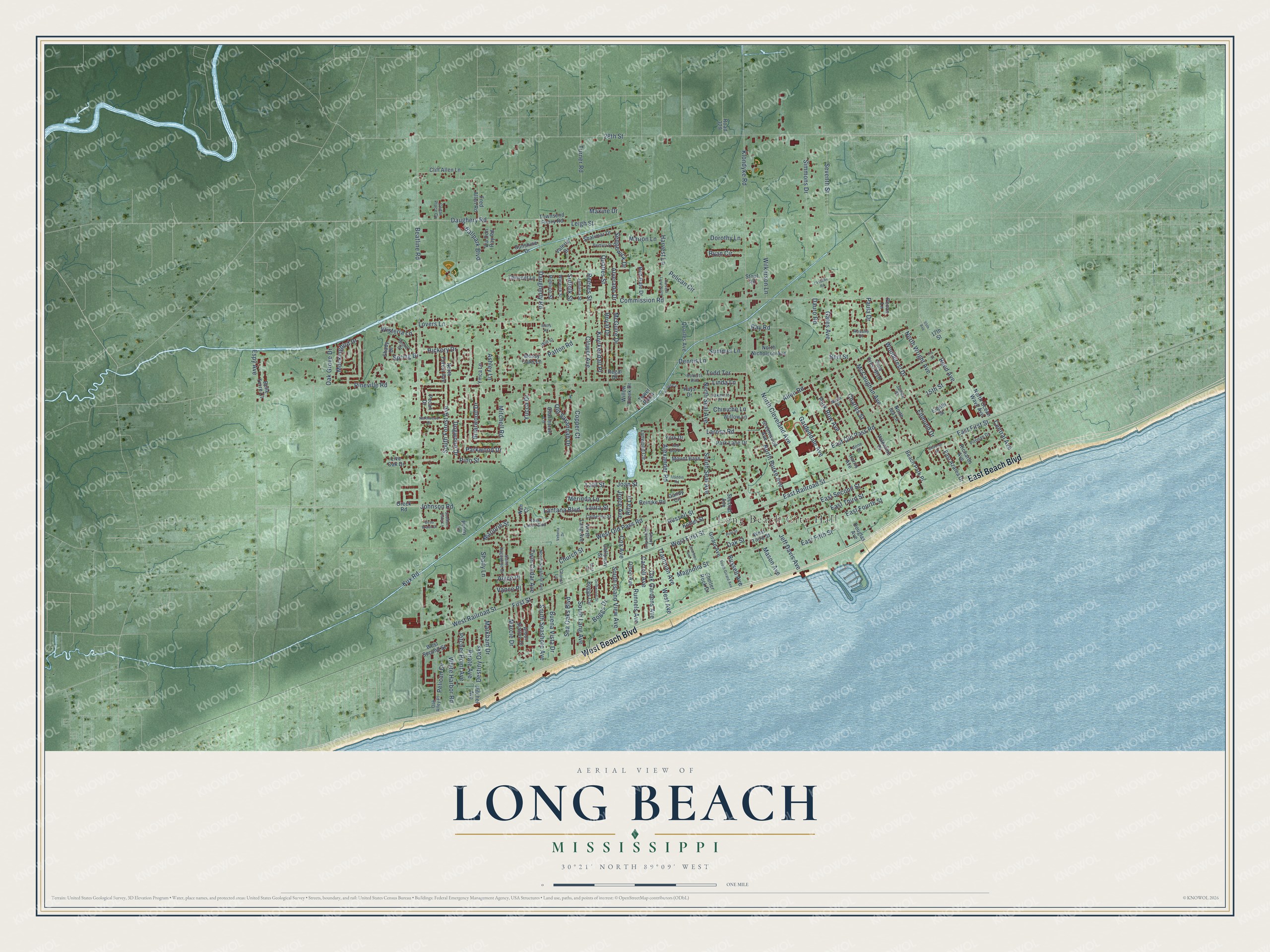
Street and place names on the Long Beach, Mississippi map
These names are printed on the map of Long Beach, Mississippi.
Places: Long Beach City Hall.
Streets and roads: East Beach Boulevard, West Beach Boulevard, Seventh Street, Jeff Davis Avenue, East Railroad Street, Parkwood Drive, Sedgewick Drive, West First Street, Daughery Road, Reed Avenue, Pineville Road, Beatline Road.
More street names, A to Z
15th Street, 17th Street, 28th Street, 65th Avenue, Aladdin Road, Alexander Road, Allen Road, Alverado Drive, Alyce Place, Anne Street, Arbor Station Drive, Ashley Lane, Ballpark Boulevard, Beach Park Place, Beau Braun Drive, Belle Terre Court, Bert Street, Boggs Circle, Boggs Drive, Briarwood Drive, Buena Vista Drive, Carroll Avenue, Catherine Street, Cedar Place Cv, Central Avenue, Charles Street, Charleston Lane, Chiniche Lane, Church Lane, Church Street, Cliff Allen Lane, Clower Avenue, Commission Road, Copper Court, Cox Avenue, Daugherty Road, Dauro Road, Dearman Avenue, Dennis Lane, Destiny Oaks, Dogwood Drive, Dora Circle, Dorothy Lane, Douglas Avenue, Driftwood Drive, East Azalea Drive, East Fifth Street, East First Street, East Fourth Street, East Old Pass Road, East Second Street, East Third Street, Edmund Drive, Eighth Street, Espy Avenue, First Street, Fred Allen Road, Galloway Street, Gandy Circle, Gardendale Avenue, Gates Avenue, Girard Avenue, Greenwood Avenue, Harris Avenue, Harvest Lane, Harvest Lane North, Hickory Drive, Iris Street, Jamaica Street, James Street, Joan Street, Johnson Road, Joyce Avenue, Kays Drive, Klondyke Road, Kohler Street, Kux Road, Kuyrkendall Place, Lantana Boulevard, Larosa Road, Lassabe Road, Latil Street, Laura Street, Leigh Street, Le Petit Cv, Linda Lane, Live Oak Drive, Lovers Lane, Lynwood Circle, Magnolia Street, Marcie Drive, Marion Lane, Marjorie Street, Markham Drive, Mason Avenue, Maxine Drive, McCaughan Avenue, McGuire Drive, Merinda Lane, Mitchell Road, Mockingbird Drive, Mossy Oaks Lane, Mount Bass, Nan Court, Ninth Street, North Burke Avenue, North Cleveland Avenue, North Forest Avenue, North Ida Lane, North Lang Avenue, North Nicholson Avenue, North Ocean Wave Avenue, North Seal Avenue, North Seashore Avenue, Northwood Drive, North Wright Avenue, Oak Alley Place, Oak Gardens Avenue, Oak Grove Drive, Oakmont Place, Oak Street, Old Savannah Drive, Olson Avenue, Oreck Road, Palmyra Street, Park Lane Drive, Park Row Avenue, Patton Road, Paula Drive, Pecan Drive, Pecan Lane, Pelican Circle, Pelican Cv, Penny Lane, Pimlico Street, Pine Crest Boulevard, Pine Street, Pino Street, Pirate Avenue, Pitcher Avenue, Pitcher Point Avenue, Pittman Drive, Quarles Avenue, Quarles Street, Ray Road, Red Bud Drive, Red Gate Drive, Reeves Street, Regal Drive, Reinike Road, Richards Avenue, Rita Lane, Road 329, Roberts Avenue, Rosalie Drive, Royal Drive, Runnels Avenue, Russell Avenue, Russell Street, Ryan Circle, Saint Augustine Drive, Sea Oaks Boulevard, Second Avenue, Shady Drive, Shady Grove Avenue, Shady Lane, Shalimar Drive, Shannon Drive, Shelter Rock Drive, Shore Drive, Simmons Drive, Southern Oaks Lane, South Forest Avenue, South Girard Avenue, South Island View Avenue, South Lang Avenue, South Seal Avenue, South Seashore Avenue, Spring Drive, Stout Road, Suffolk Street, Summer Lane, Sunshine Drive, Thrivent Lane, Todd Terrace, Tower Plaza, Townsend Flurry Road, Trautman Avenue, Turner Road, Twin Cedar Avenue, Twin Lakes Boulevard, Valentine Drive, Valerie Drive, Vance Place, Vebena Drive, Via Don Ray Road, Warwick Street, Watts Road, West Avenue, West Old Pass Road, West Railroad Street, West Second Street, West Third Street, White Harbor Road, Wilkerson Lane, Willow Creek Drive, Willow Lane, Will Street, Wisteria Lane, Woodcrest Drive, Ymca Lane, York Drive, Yucca Drive.
See the Long Beach, Mississippi map on a wall
The Long Beach map as an 18 x 24 inch print in a black frame.

This beautifully detailed map of Long Beach makes an attractive addition to your office, library, or den, and it can even be used to teach children the geography and history of the area. It also makes a great gift for anyone who grew up in Long Beach or moved away. When you’re done exploring, click here to get your copy of the Long Beach map.