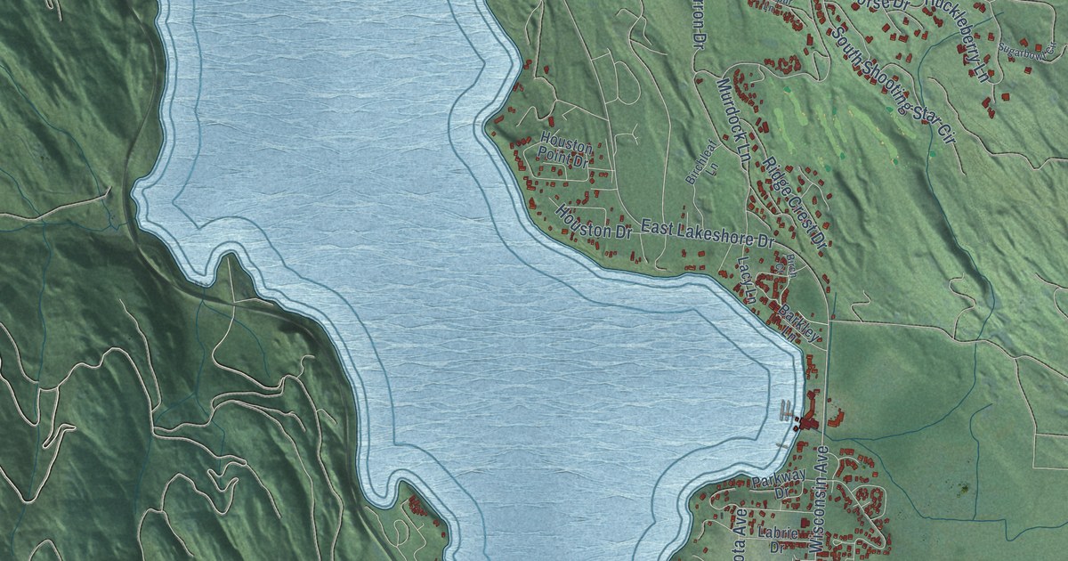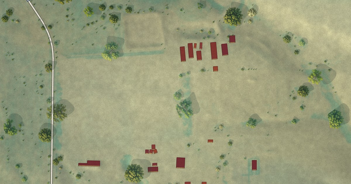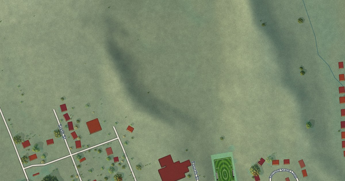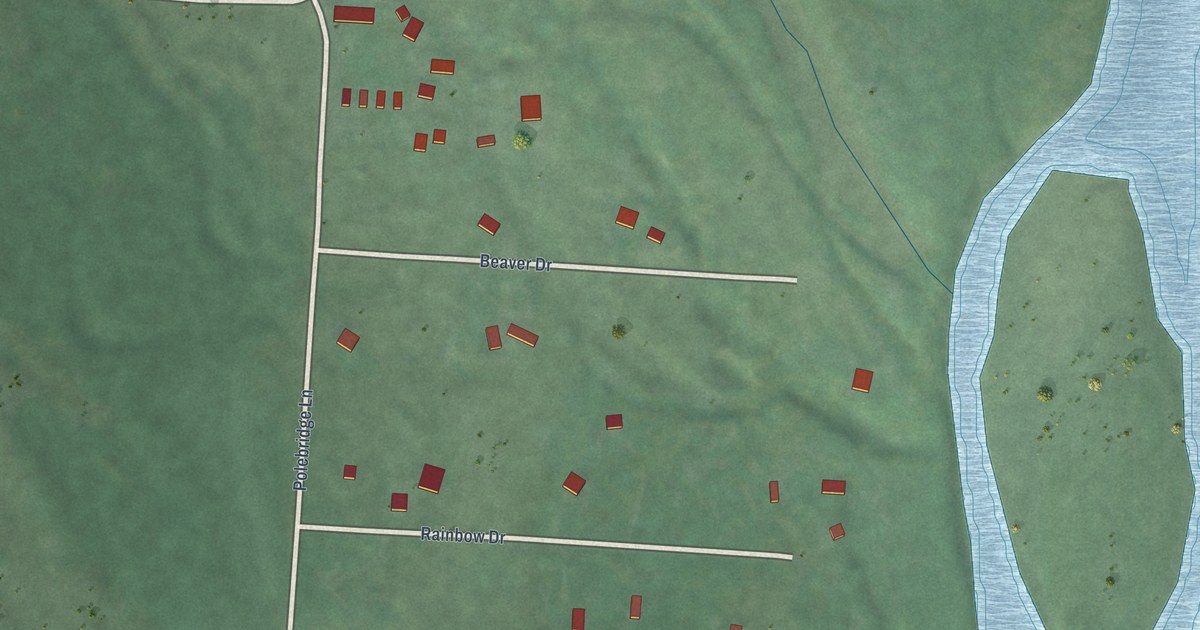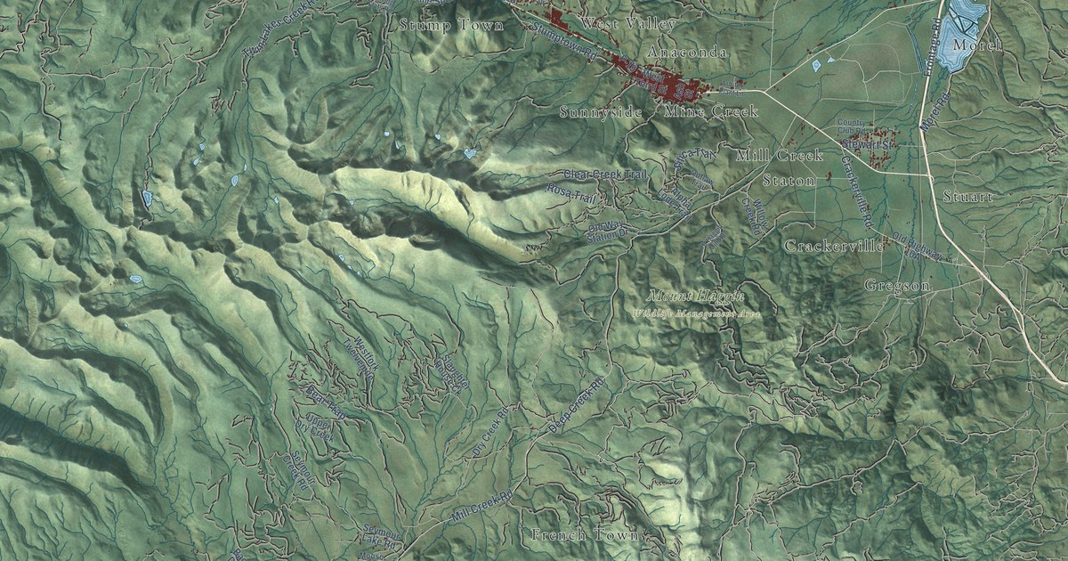
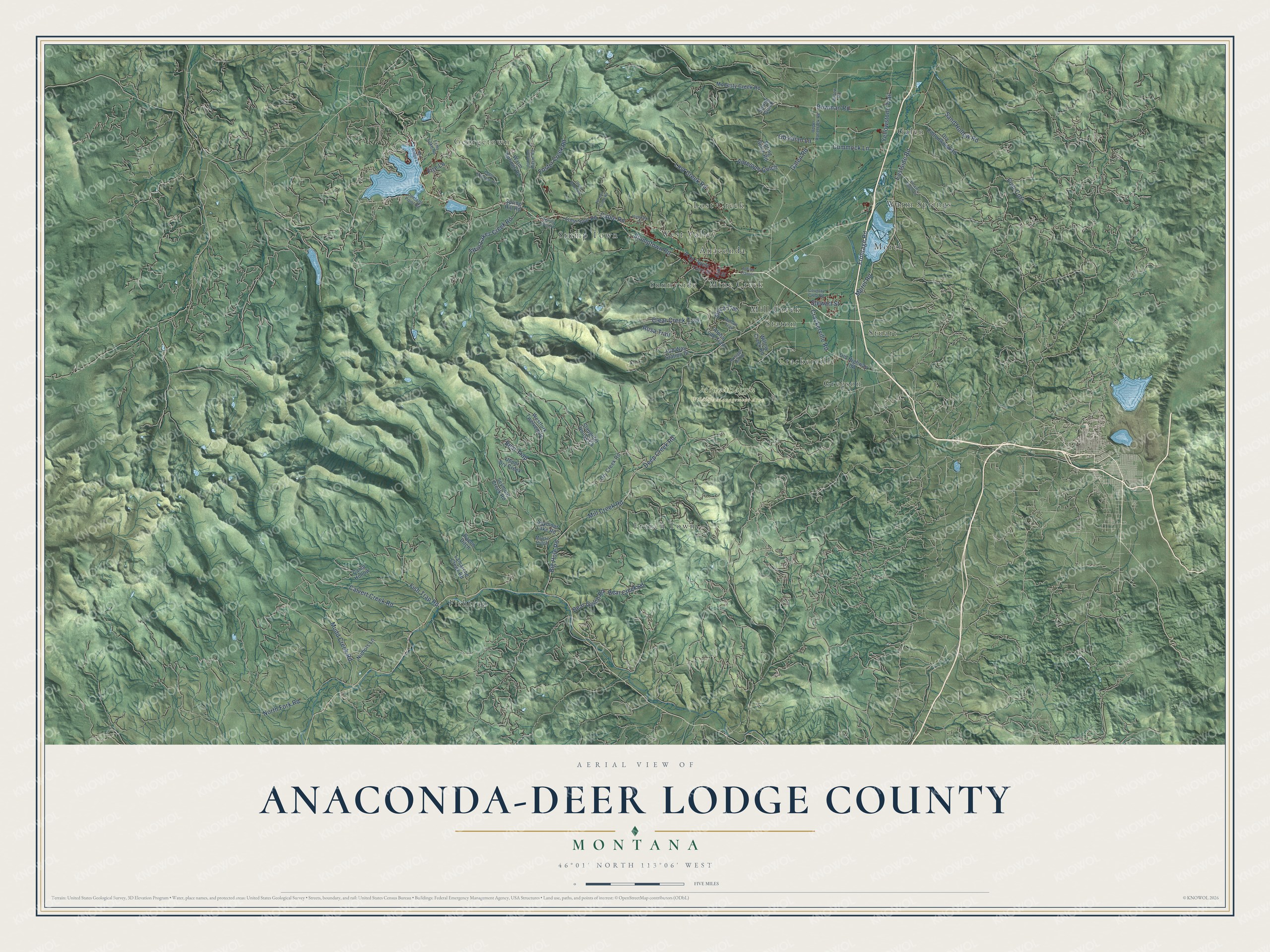
This beautifully detailed map of Anaconda-Deer Lodge County, Montana was created in 2026 using aerial imagery combined with modern topographical, census, street and landmark data. It's a modern aerial view of Anaconda-Deer Lodge County in Deer Lodge County, Montana, that combines modern data with a vintage aesthetic. The roads feature printed names, and if you look closely you can find your exact house accurately shown in its correct location.
Explore an aerial view of Anaconda-Deer Lodge County, Montana
On this map you'll find Mount Haggin Wildlife Management Area, Anaconda, Crackerville, Fishtrap, French Town, Galen, Georgetown, Gregson, Lost Creek, Mill Creek, Mine Creek, Morel, and more. Each red shape is a building, so zoom in on the preview and look for yours.
Anaconda-Deer Lodge County has a story worth telling. The Southwest Montana puts it this way: "The Washoe Theater, built in 1936, was one of the last theaters built in the Nuevo Deco design. Copper is prominently featured inside, displaying the mineral that put Anaconda on the map."
Take a closer look at the Anaconda-Deer Lodge County map
Names on this map
These names are printed on this map.
Places: Mount Haggin Wildlife Management Area, Anaconda, Crackerville, Fishtrap, French Town, Galen, Georgetown, Gregson, Lost Creek, Mill Creek, Mine Creek, Morel, Staton, Stuart, Stump Town, Sunnyside, Warm Springs and West Valley.
Streets and roads: Eastside Road, Morel Road, Stumptown Road, Twin Lakes Creek Road, Rosa Trail, Mill Creek Road, Deep Creek Road, Big Hole Road, Galen Road, Clear Creek Trail, Silica Trail, Mudd Creek Road.
More street names, A to Z
Alpha Lode Trail, Antelope Gulch, Arbiter Plant Lane, Ash Street, Bacon Ditch, Bear Creek Road, Bear Gulch Road, Bear Trap, Bowman Road, Cable Mountain Road, Cable Road, Calvert Creek Road, Camp Hollow, Country Club Road, Crackerville Road, Cummock Lane, Dentons Point Road, Dry Cottonwood Road, Dry Creek Road, Echo Lake Road, Fire Lane, Fish Trap Road, Foster Creek Road, Four Cors, Frontage Road, Herring Flats Road, Highpark Drive, Ht Haggin Mill Road, Johnson Basin Road, Lamarche Creek Road, Lime Spur Road, Lost Creek Road, Modesty Creek Road, Moose Ridge, Nichols Lane, North Fork Road, Obsidian Lane, Old Way Station Drive, Olson Gulch Road, Outlaw Trail, P-19, Perkins Gulch Road, Red Bridge Lane, Sand Hollow Road, Seymour Creek Road, Seymour Lake Road, Slaughter House Ck, Spring Gulch, Spring Gulch Road, Spring Hill Road, Stewart Street, Tin Can Gulch Road, Upper Dry Creek, Upper Racetrack Road, Warm Springs Road, Westfork Twelvemile, West Third Street, Willow Creek Road, Willow Road, Yellowstone Trail.
See it on a wall
The Anaconda-Deer Lodge County map as a framed print. Swipe for more.


Created by KNOWOL in 2026. The buildings are small red shapes, the roads carry their printed names, and shaded relief shows the shape of the land. The title panel reads "AERIAL VIEW OF ANACONDA-DEER LODGE COUNTY, MONTANA" with 46°01' NORTH 113°06' WEST.
It looks right in a kitchen, an office or a den, and it's a gift for anyone who grew up in Anaconda-Deer Lodge County or moved away. Open the preview and find your street. See sizes and frames for the Anaconda-Deer Lodge County map.