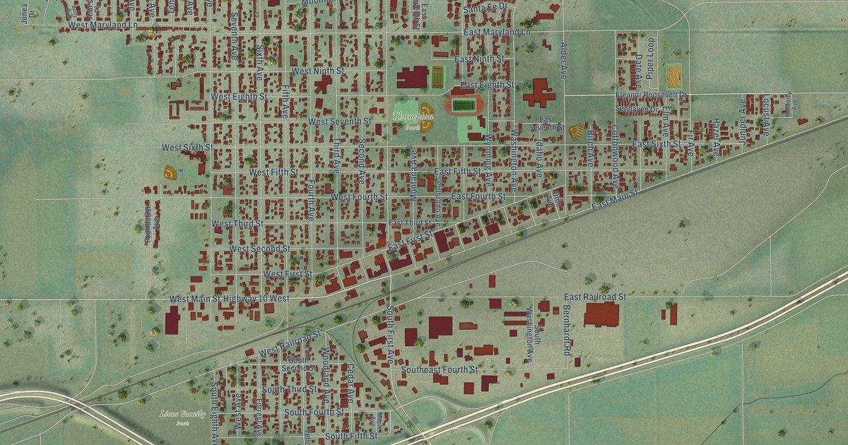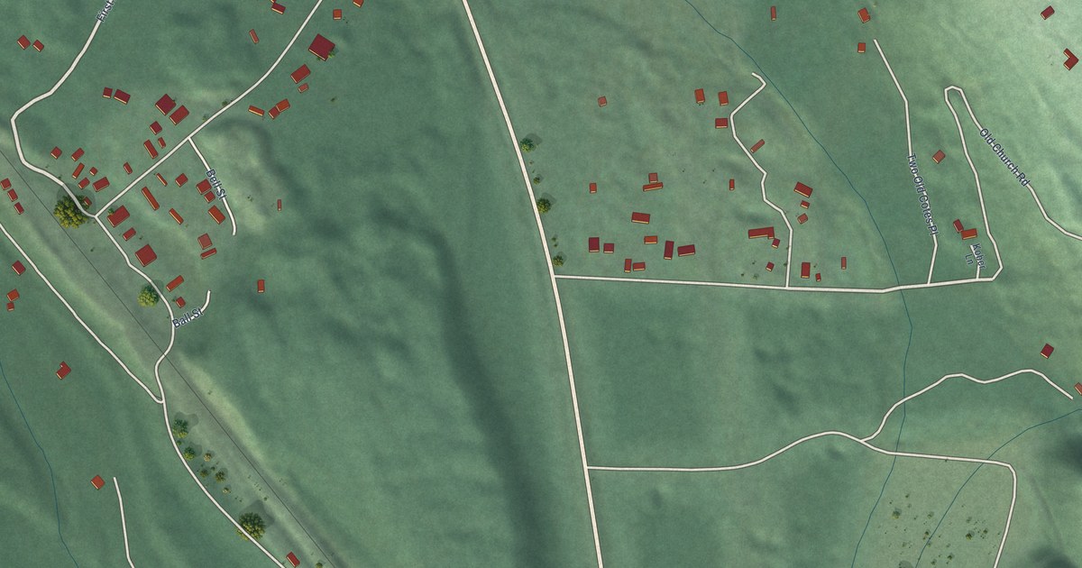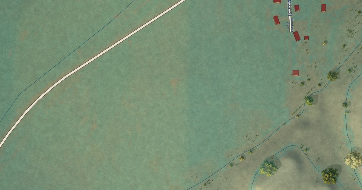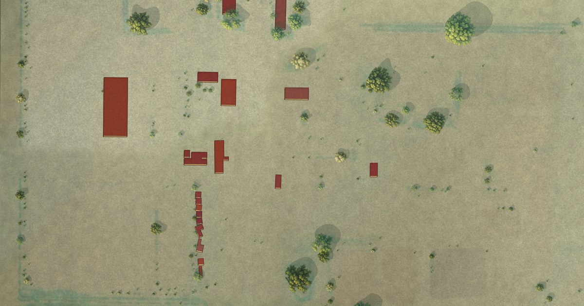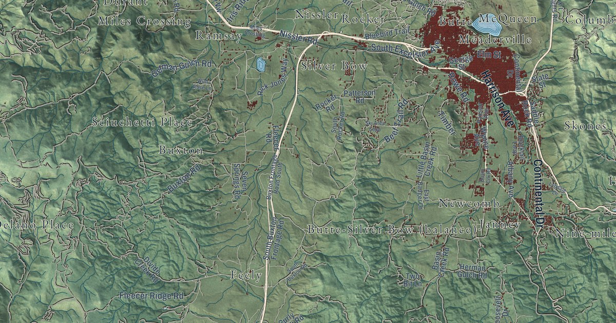
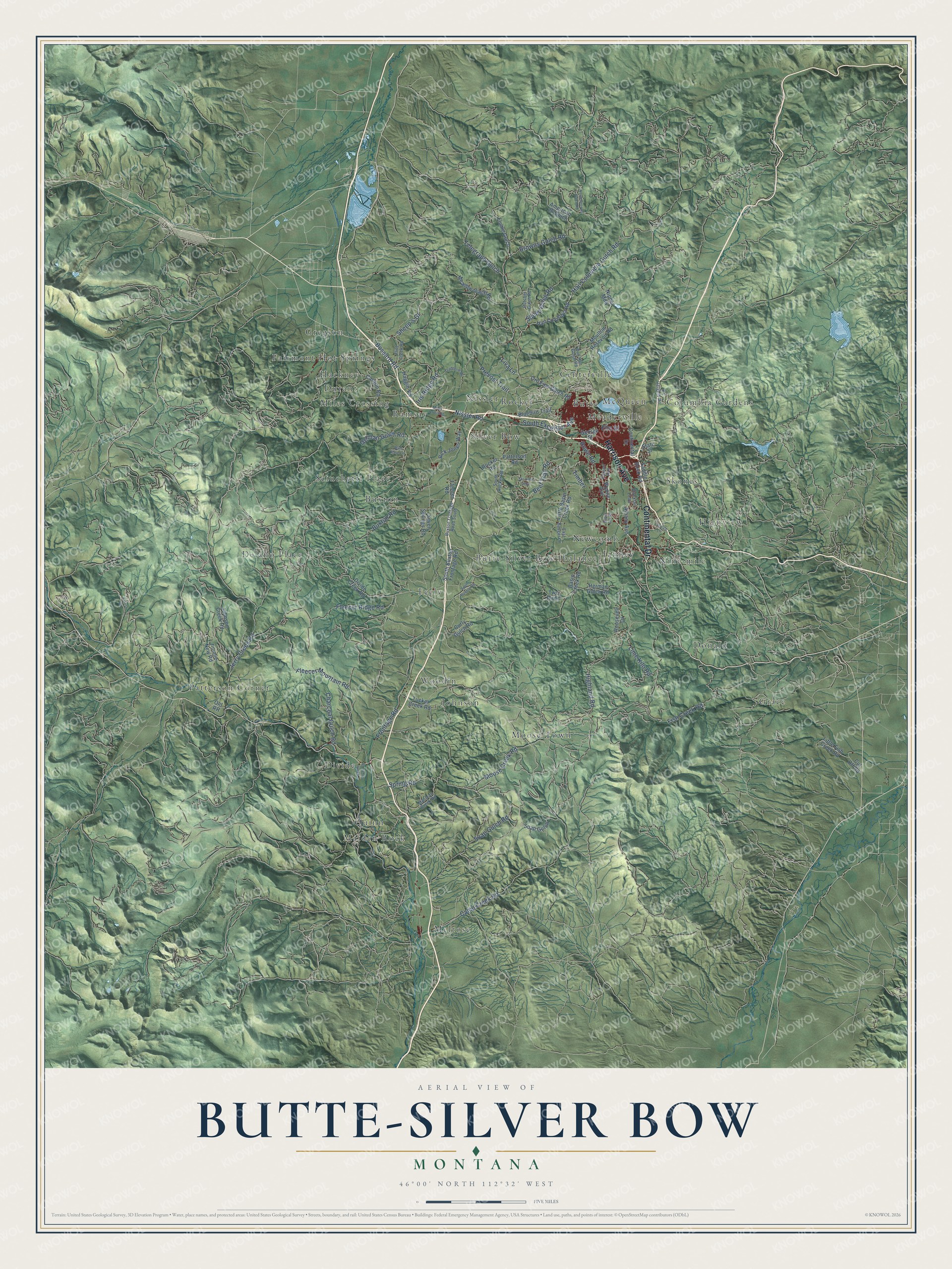
This beautifully detailed map of Butte-Silver Bow, Montana was created in 2026 using aerial imagery combined with modern topographical, census, street and landmark data. It's a modern aerial view of Butte-Silver Bow in Silver Bow County, Montana, that combines modern data with a vintage aesthetic. The roads feature printed names, and if you look closely you can find your exact house accurately shown in its correct location.
Explore an aerial view of Butte-Silver Bow, Montana
On this map you'll find Butte, Butte-Silver Bow (balance), Buxton, Centerville, Columbia Gardens, Delano Place, Divide, Donald, Durant, Fairmont Hot Springs, Feely, Grace, and more. Each red shape is a building, so zoom in on the preview and look for yours.
Every town has a first chapter, and Butte-Silver Bow is no exception. The Southwest Montana puts it this way: "Daly created the Butte, Anaconda, & Pacific Railway (BA&P) to transport ore from Butte to Anaconda. In 1913, the BA&P was the first electric freight railway in the nation."
Take a closer look at the Butte-Silver Bow map
Names on this map
These names are printed on this map.
Places: Butte, Buxton, Centerville, Columbia Gardens, Delano Place, Divide, Donald, Durant, Fairmont Hot Springs, Feely, Grace, Gregson, Hackney, Highview, Janney, Johnson, Maiden Rock, McQueen, Meaderville, Melrose, Miles Crossing, Moose Town, Newcomb, Nine-mile, Nissler, Patterson Corner, Quinn, Ramsay, Rocker, Sciuchetti Place, Silver Bow, Skones and Woodin.
Streets and roads: Harrison Avenue, Continental Drive, Fleecer Mountain Road, Sheep's Gl, Frontage Road, Beef Trail Road, Buxton Road, Spring Road, Moose Creek Road, Highland Road, Camp Creek Road, South Excelsior Avenue.
More street names, A to Z
Albany Avenue, American 26 Gulch, Basin Creek Road, Basin Crk Road, Blacktail Loop, Bluebird Trail, Bossard Road, Browns Gulch Road, Bull Run Gulch Road, Butcher Gulch Road, Buxton Frontage Road South, Canyon Road, Charcoal Gulch Road, Cradberry Road, Curly Gulch Road, Cut Off Road, Divide Creek Road, East Badger Lane, Elm Street, Fish Creek Road, Fleecer Ridge Road, Fleecer Road, Flint Creek Road, Flume Gulch, Forest Road, George Street, German Gulch Road, Haggin Vw, Hail Columbia Gulch Road, Hail Columbia Road, Herman Gulch Road, Iris Ridge Road, Jerry Creek Road, Jimmie New Road, Johnson Creek Road, Lime Kiln Road, Little Basin Creek Road, Little Fish Creek Road, Liva Lane, Lyndale Lane, Maclean Creek Road, Meadow Gulch Road, Moulton Resevoir Road, Nipper Mdw, Nissler Road, North Browns Gulch Road, Old RR, Oro Fino Gulch Road, Patterson Road, Paxson Avenue, Prevost Trail, Rick Jones Way, Rocker Road, Roosevelt Drive, Rowe Road, Saddle Rock Road, Seven Springs Road, Sheep Gulch Road, Ski Area Loop, Soap Gulch, Soap Gulch Road, South Buxton Frontage Road, South Buxton Road, South River Road, South Rocker Road, State Street, Telegraph Gulch, Timber, Tucker Creek Road, Two Bit Lane, Wild Rose Lane, Wynne Avenue, X-L Heights Road.
See it on a wall
The Butte-Silver Bow map as a framed print. Swipe for more.


Created by KNOWOL in 2026. The buildings are small red shapes, the roads carry their printed names, and shaded relief shows the shape of the land. The title panel reads "AERIAL VIEW OF BUTTE-SILVER BOW, MONTANA" with 46°00' NORTH 112°32' WEST.
Hang it in the hallway, the office or the cabin, or give it to someone who left Butte-Silver Bow and still calls it home. Open the preview and look for a street you know. See sizes and frames for the Butte-Silver Bow map.