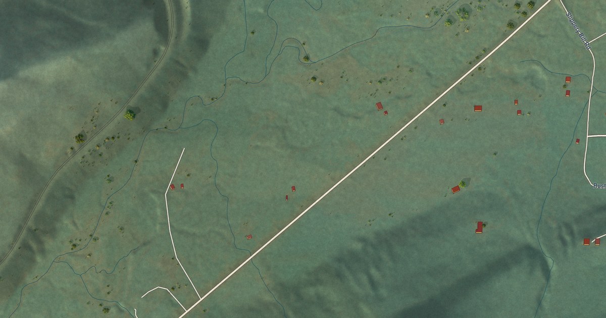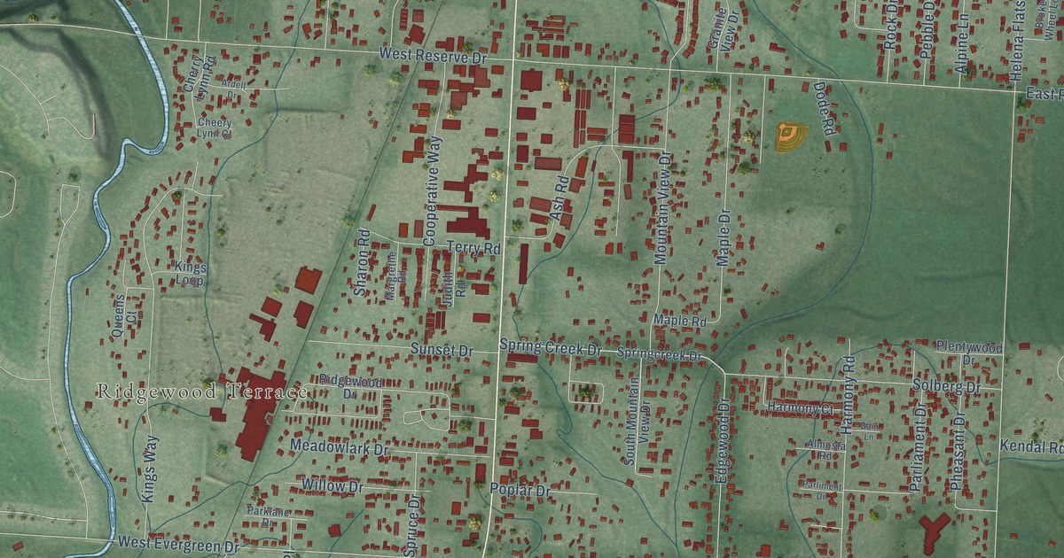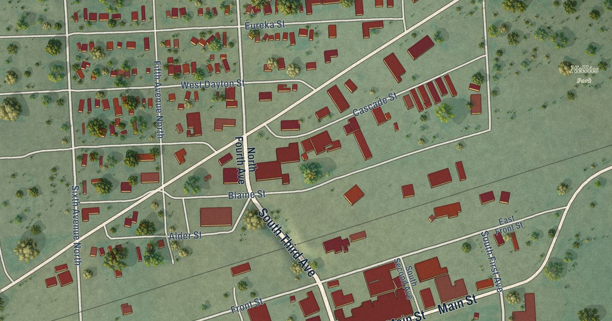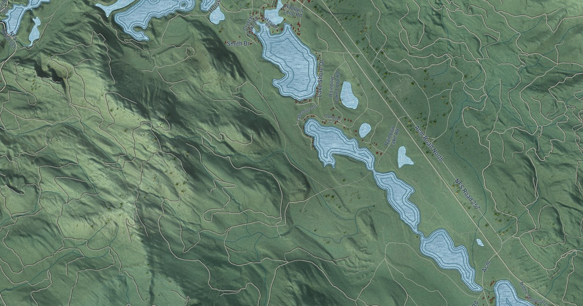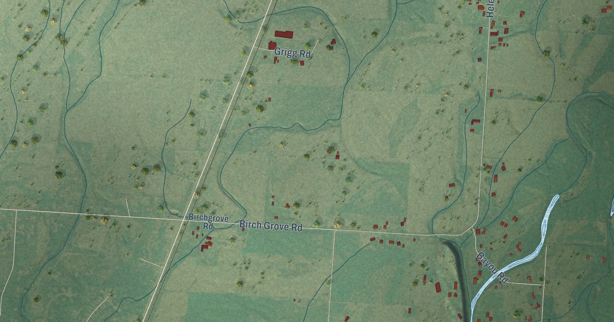
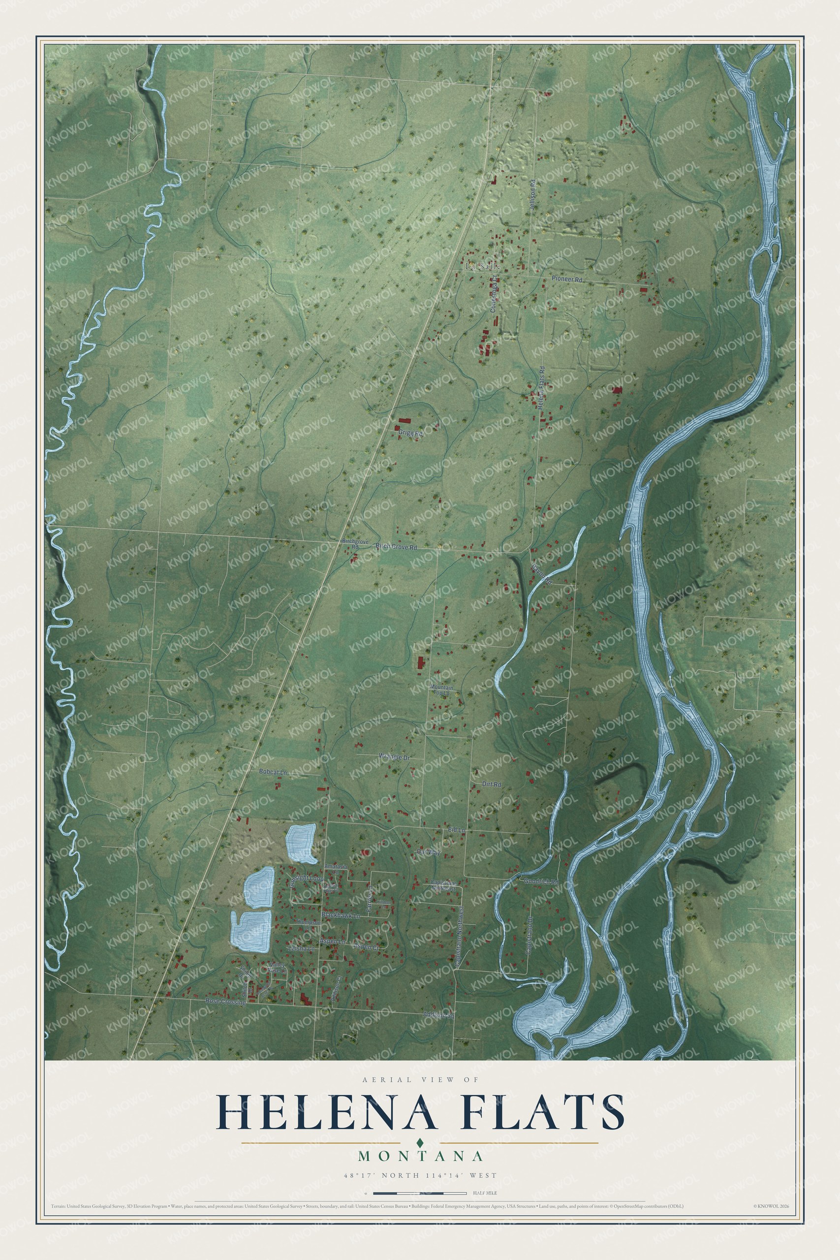
This beautifully detailed map of Helena Flats, Montana was created in 2026 using aerial imagery combined with modern topographical, census, street and landmark data. It's a modern aerial view of Helena Flats in Flathead County, Montana, that combines modern data with a vintage aesthetic. The roads feature printed names, and if you look closely you can find your exact house accurately shown in its correct location.
Explore an aerial view of Helena Flats, Montana
On this map you'll find La Salle, Helena Flats Road, Bayou Road, Pioneer Road, Jellison Road, Capistrano Drive, Goodrich Road, Rose Crossing, Addison Square, Dirt Road, Eid Lane, Birch Grove Road, and more. Each red shape is a building, so zoom in on the preview and look for yours.
Every town has a first chapter, and Helena Flats is no exception. One night in April 1903, an earthquake frightened the people of Helena Flats. On the Whitefish River nearby, more than five acres of bluff slid into the river channel and made a dam three hundred feet long, and the backed-up water flooded the bottom lands. That's from the weekly journal The Friend.
Helena Flats is a community in Flathead County. The Census Bureau counted 1,206 people here in 2020.
Take a closer look at the Helena Flats map
Names on this map
These names are printed on this map.
Places: La Salle.
Streets and roads: Helena Flats Road, Bayou Road, Pioneer Road, Jellison Road, Capistrano Drive, Goodrich Road, Rose Crossing, Addison Square, Dirt Road, Eid Lane, Birch Grove Road, Gunsight Loop.
More street names, A to Z
Addison Court, Amatasia Lane, Aspen Court, Aspen Lane, Birchgrove Road, Blackhawk Lane, Bobcat Lane, Capistrano Northeast, Capistrano Northwest, Conestoga Court, Farrier Lane, Grigg Road, Helena Flats Court, Killdeer Lane, Leisha Lane, Mountain Top Lane, Our Way, Rosewood Acres Drive, Shileh Drive, Shiloh Drive, Thompson Lane, Valley Rose Lane, Wrangle Drive.
See it on a wall
The Helena Flats map as a framed print. Swipe for more.


Created by KNOWOL in 2026. The buildings are small red shapes, the roads carry their printed names, and shaded relief shows the shape of the land. The title panel reads "AERIAL VIEW OF HELENA FLATS, MONTANA" with 48°17' NORTH 114°14' WEST.
Hang it in the hallway, the office or the cabin, or give it to someone who left Helena Flats and still calls it home. Open the preview and look for a street you know. See sizes and frames for the Helena Flats map.