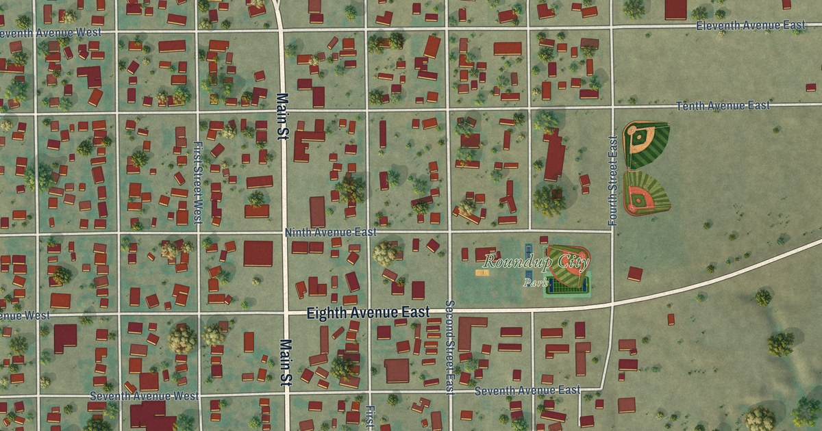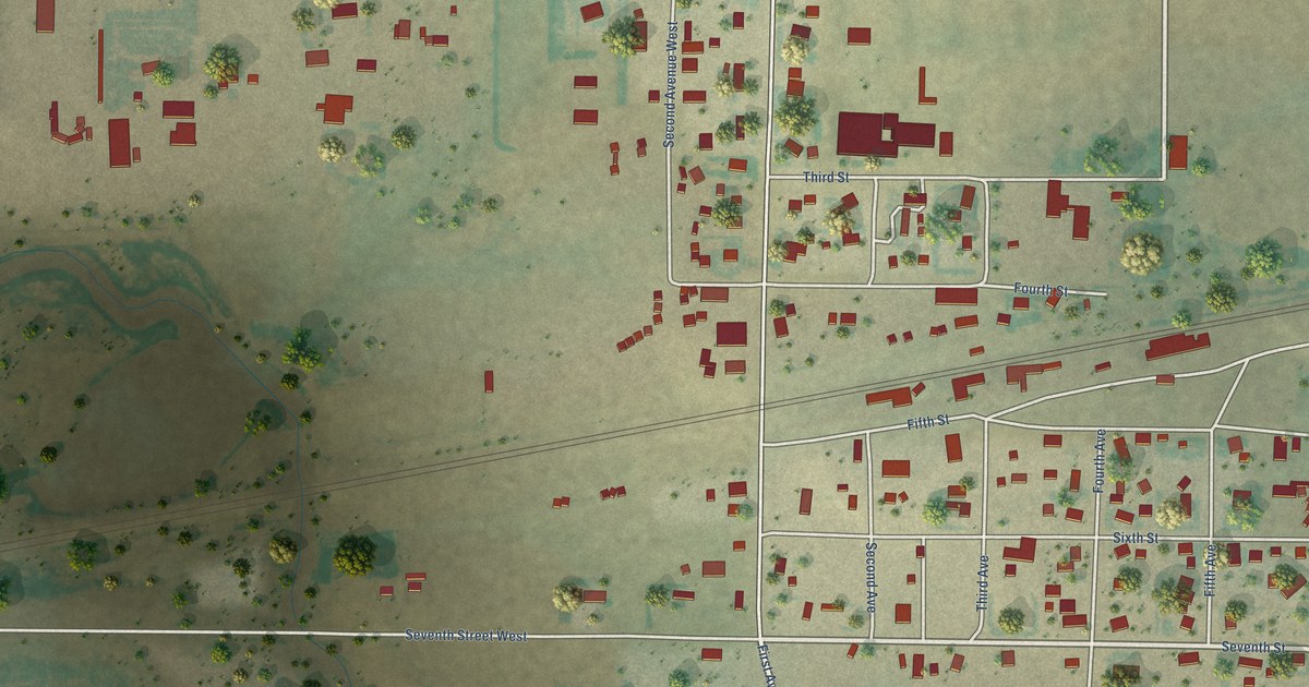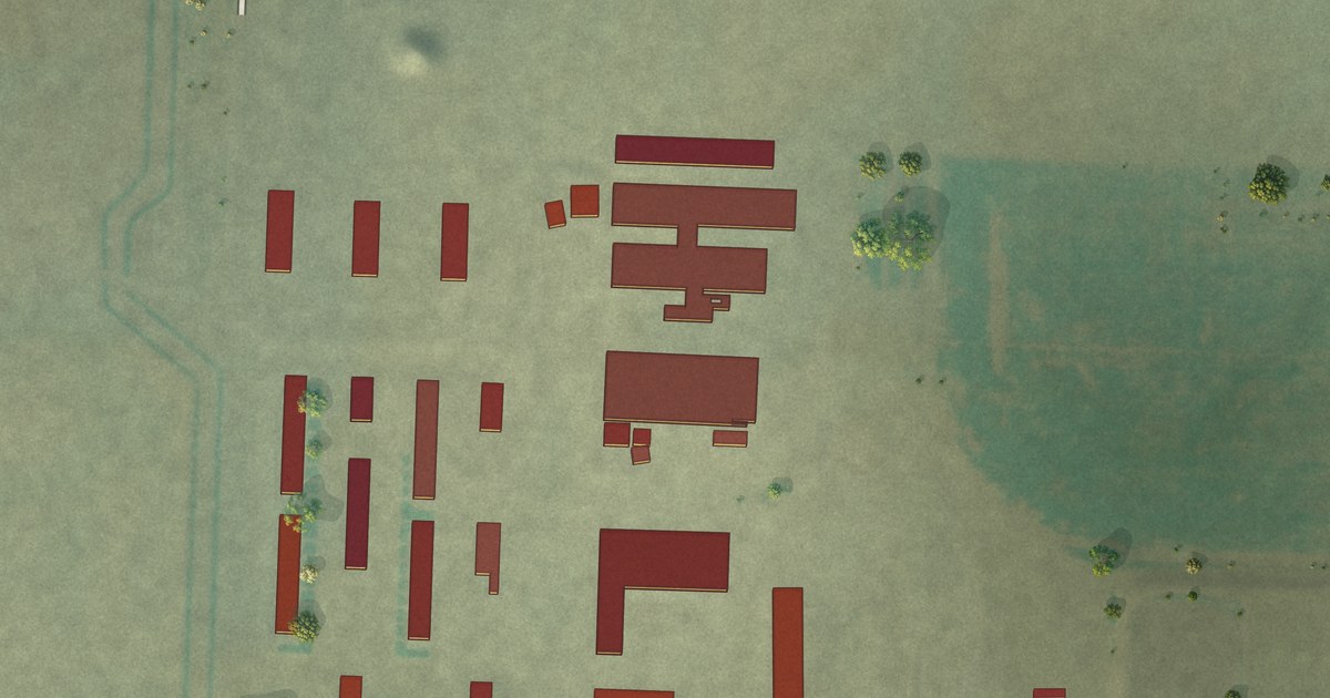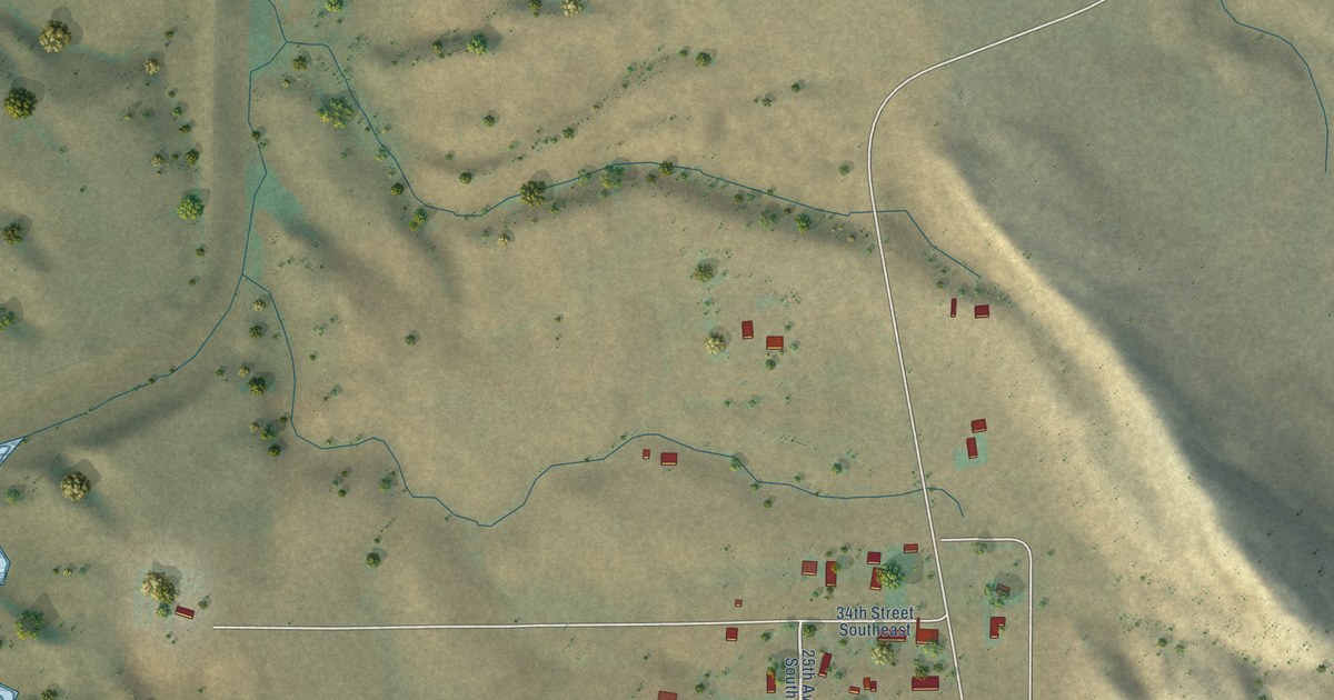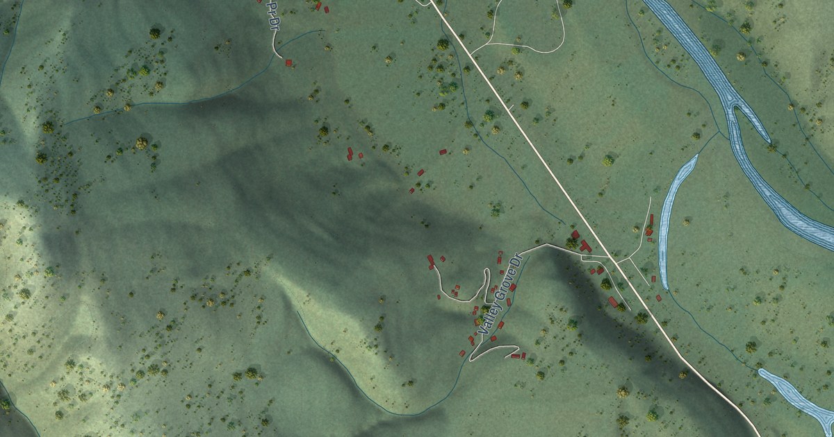
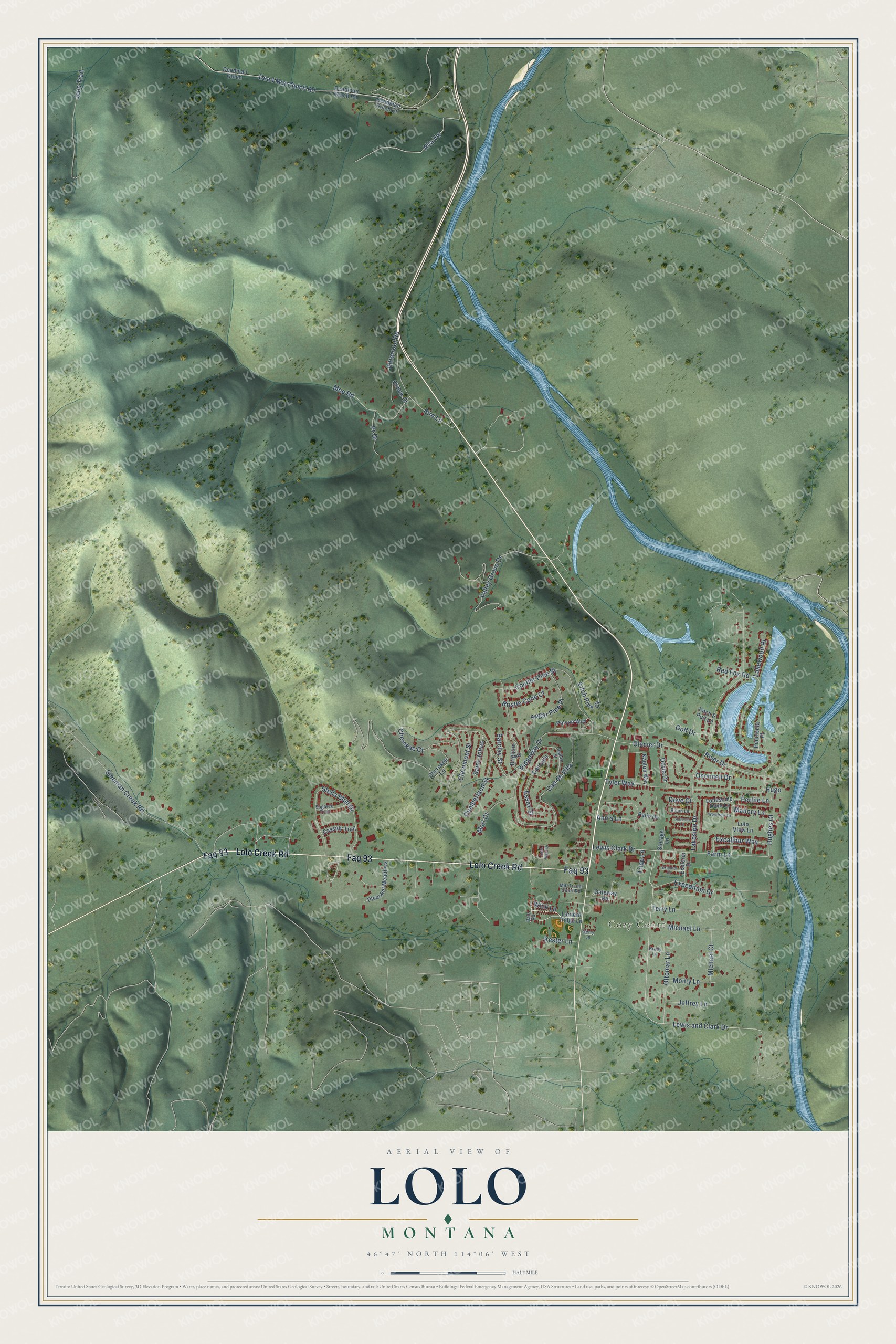
This beautifully detailed map of Lolo, Montana was created in 2026 using aerial imagery combined with modern topographical, census, street and landmark data. It's a modern aerial view of Lolo in Missoula County, Montana, that combines modern data with a vintage aesthetic. The roads feature printed names, and if you look closely you can find your exact house accurately shown in its correct location.
Explore an aerial view of Lolo, Montana
On this map you'll find Cozy Court, Faq 93, Lolo Creek Road, Alta Vw, Pr Drive, Lewis and Clark Drive, Lewis Clark Drive, Lakeside Drive, Ridgeway Drive, Cap de Villa, Red Fox Road, Tyler Way, and more. Each red shape is a building, so zoom in on the preview and look for yours.
Every town has a first chapter, and Lolo is no exception. Lewis and Clark's Corps of Discovery camped at Travelers' Rest on Lolo Creek in September 1805 and again in the summer of 1806. In 2002 archaeologists found the camp's mercury-tainted latrine, fire hearths and lead for gun repair, so it's the only campsite of the expedition whose exact spot is proven by physical evidence. Salish, Pend d'Oreille and Nez Perce people used the spot for centuries before the explorers came. That's from the Montana Historical Society.
Lolo is a community in Missoula County. The Census Bureau counted 4,399 people here in 2020.
Take a closer look at the Lolo map
Names on this map
These names are printed on this map.
Places: Cozy Court.
Streets and roads: Faq 93, Lolo Creek Road, Alta Vw, Pr Drive, Lewis and Clark Drive, Lewis Clark Drive, Lakeside Drive, Ridgeway Drive, Cap de Villa, Red Fox Road, Tyler Way, Dead Man Gulch Road.
More street names, A to Z
Ann's Lane, Autumn Lane, Bale Road, Barclay Street, Bird Lane, Bison Lane, Bitterroot Road, Brady Lane, Brighton Street, Bristle Cone Court, Cascade, Cassidy Trail, Cherokee Court, Cherokee Lane, Claremont Street, Coulter Pine Street, Cumberland Street, Dallas Street, Deadman Gulch, Deadman Gulch Court, Deadman Gulch Road, Dorie Drive, Dove Court, Essex Street, Excalibur Way, Expedition Drive, Explorer Court, Explorer Drive, Farm Lane, Gateway Road, Gerry Lane, Glacier Drive, Golf Drive, Hughes Court, Hugo, Jeep Trail, Jeffrey Lane, Kester Lane, Lakewood Place, Lantern Ridge Lane, Lolo View Lane, Lolo Vista Drive, Lonesome Dove Lane, Mallory Lane, Mari Court, Michael Court, Michael Lane, Mjb Trailer Court Road, Moe Road, Monty Lane, Napton Way, Oconnell Drive, Ottomar Lane, Oxbow Drive, Palin Drive, Peninsula Place, Pertile Lane, Pinyon Way, Pitch & Putt Lane, Pitch Pine Court, Pleasant Meadows, River Drive, Saint Johns, Sleeman Creek Road, Stella Blue Drive, Storage Lane, Sugaree Trail, Sugar Pine Place, Terry Lane, Tripp Lane, Valley Grove Drive, Wick Lane, Woodrow Lane.
See it on a wall
The Lolo map as a framed print. Swipe for more.


Created by KNOWOL in 2026. The buildings are small red shapes, the roads carry their printed names, and shaded relief shows the shape of the land. The title panel reads "AERIAL VIEW OF LOLO, MONTANA" with 46°47' NORTH 114°06' WEST.
Hang it in the hallway, the office or the cabin, or give it to someone who left Lolo and still calls it home. Open the preview and look for a street you know. See sizes and frames for the Lolo map.