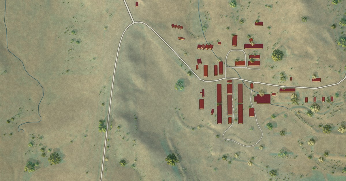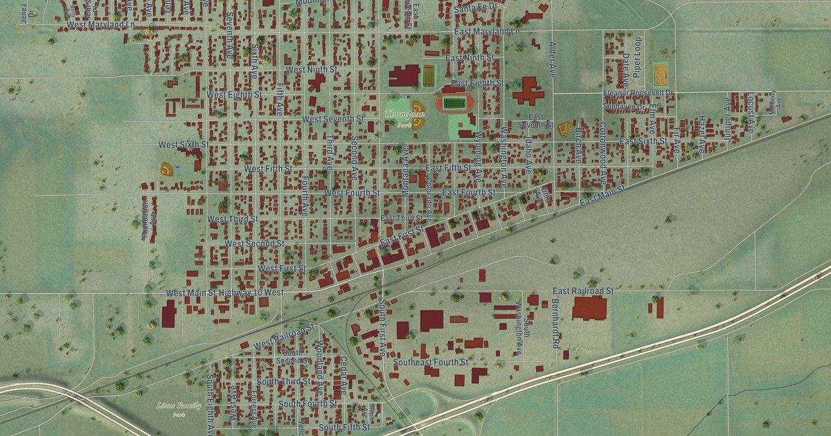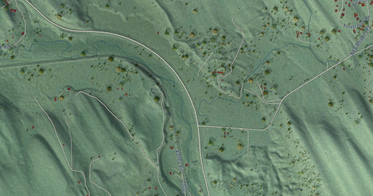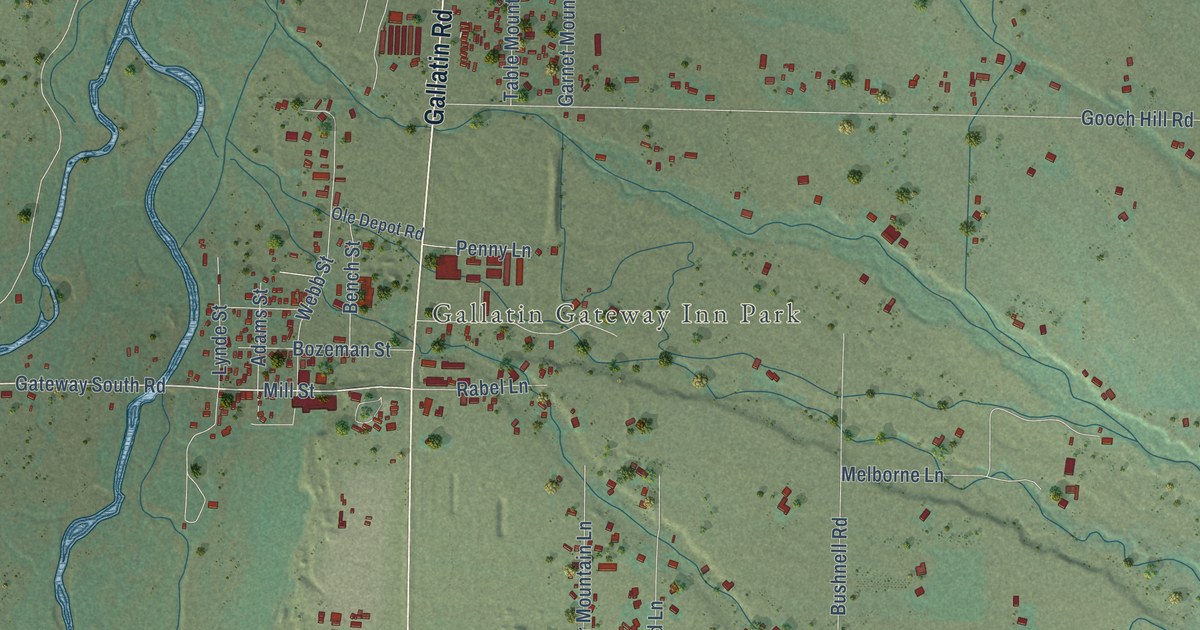
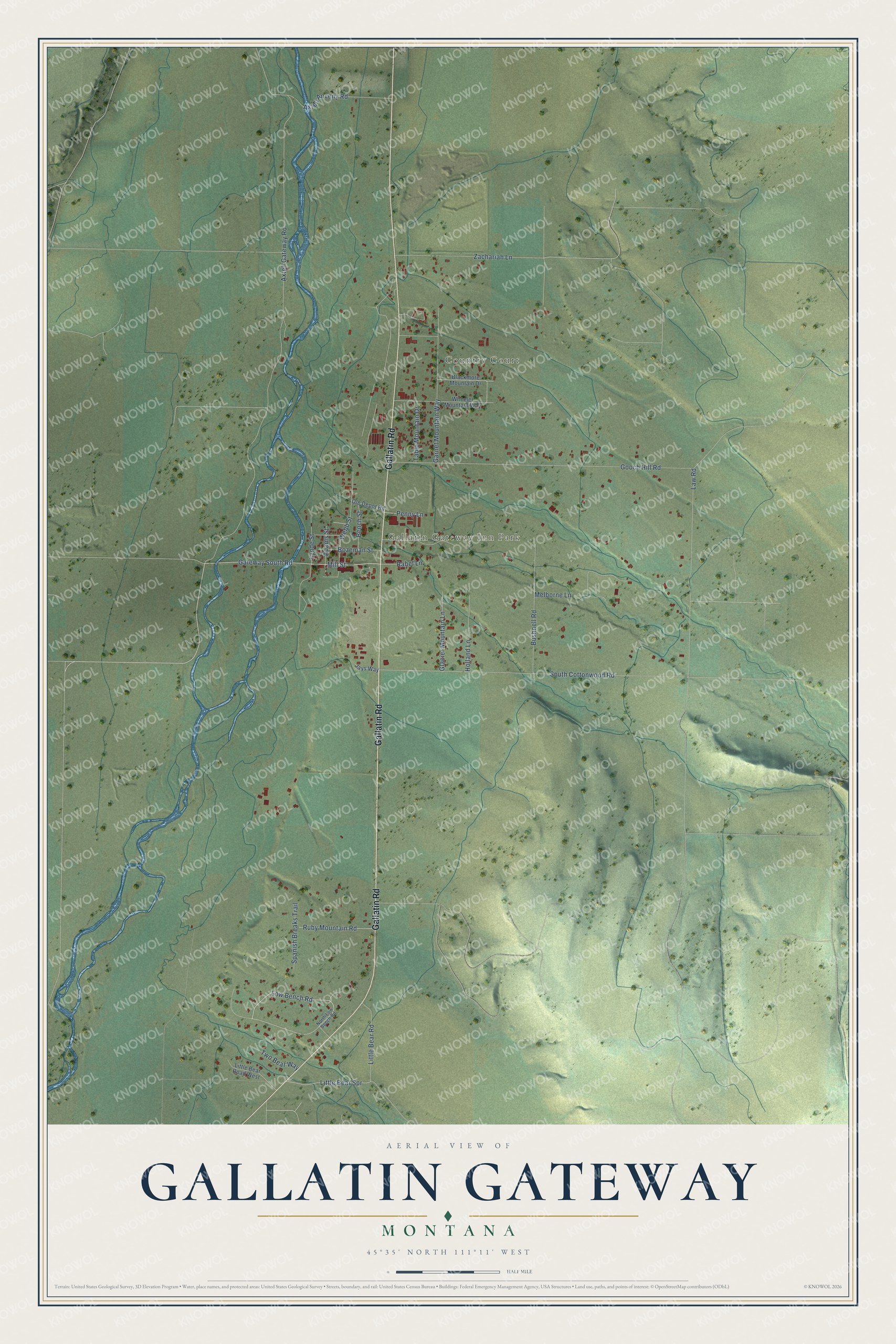
This beautifully detailed map of Gallatin Gateway, Montana was created in 2026 using aerial imagery combined with modern topographical, census, street and landmark data. It's a modern aerial view of Gallatin Gateway in Gallatin County, Montana, that combines modern data with a vintage aesthetic. The roads feature printed names, and if you look closely you can find your exact house accurately shown in its correct location.
Explore an aerial view of Gallatin Gateway, Montana
On this map you'll find Country Court, Gallatin Gateway Inn Park, Gallatin Road, Gateway South Road, Mill Street, Low Bench Road, Axtell Gateway Road, Gooch Hill Road, South Cottonwood Road, Law Road, Zachariah Lane, Garnet Mountain Way, and more. Each red shape is a building, so zoom in on the preview and look for yours.
Here is a piece of Gallatin Gateway history. Gallatin Gateway was called Salesville until the railroad made it the end of a branch line to Yellowstone Park. The old name honored Zach Sales, who ran a mill here in the late 1860s, sawing logs that were driven down the Gallatin River. The railroad also ran the Gallatin Gateway Inn, a Spanish-Romanesque lodge with cream stucco walls and a red tile roof, open to park travelers every summer. That's from the 1939 WPA guide to Montana.
Gallatin Gateway is a community in Gallatin County. The Census Bureau counted 967 people here in 2020.
Take a closer look at the Gallatin Gateway map
Names on this map
These names are printed on this map.
Places: Country Court and Gallatin Gateway Inn Park.
Streets and roads: Gallatin Road, Gateway South Road, Mill Street, Low Bench Road, Axtell Gateway Road, Gooch Hill Road, South Cottonwood Road, Law Road, Zachariah Lane, Garnet Mountain Way, Little Bear Road, Bushnell Road.
More street names, A to Z
Adams Street, Axtell Anceny Road, Bench Street, Blackmore Mountain Drive, Bozeman Street, Glacier Mountain Lane, Holland Lane, Jays Way, Little Bear Road West, Little Bear Spr, Lynde Street, Melborne Lane, North Low Bench Road, Ole Depot Road, Penny Lane, Rabel Lane, Ruby Mountain Road, Spanish Breaks Trail, Table Mountain Drive, Two Bear Way, Webb Street, Wheeler Mountain Way.
See it on a wall
The Gallatin Gateway map as a framed print. Swipe for more.


Created by KNOWOL in 2026. The buildings are small red shapes, the roads carry their printed names, and shaded relief shows the shape of the land. The title panel reads "AERIAL VIEW OF GALLATIN GATEWAY, MONTANA" with 45°35' NORTH 111°11' WEST.
It suits a den, a classroom or a front hall, and it makes a gift for anyone with Gallatin Gateway roots. Open the preview and find the block you know. See sizes and frames for the Gallatin Gateway map.