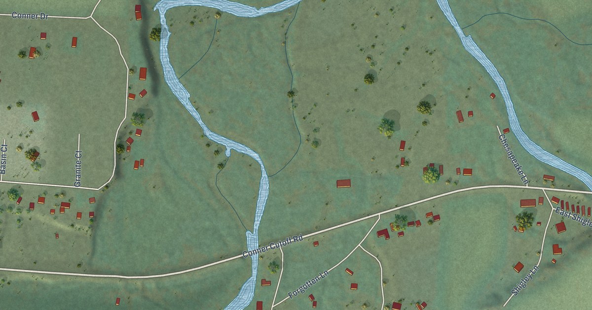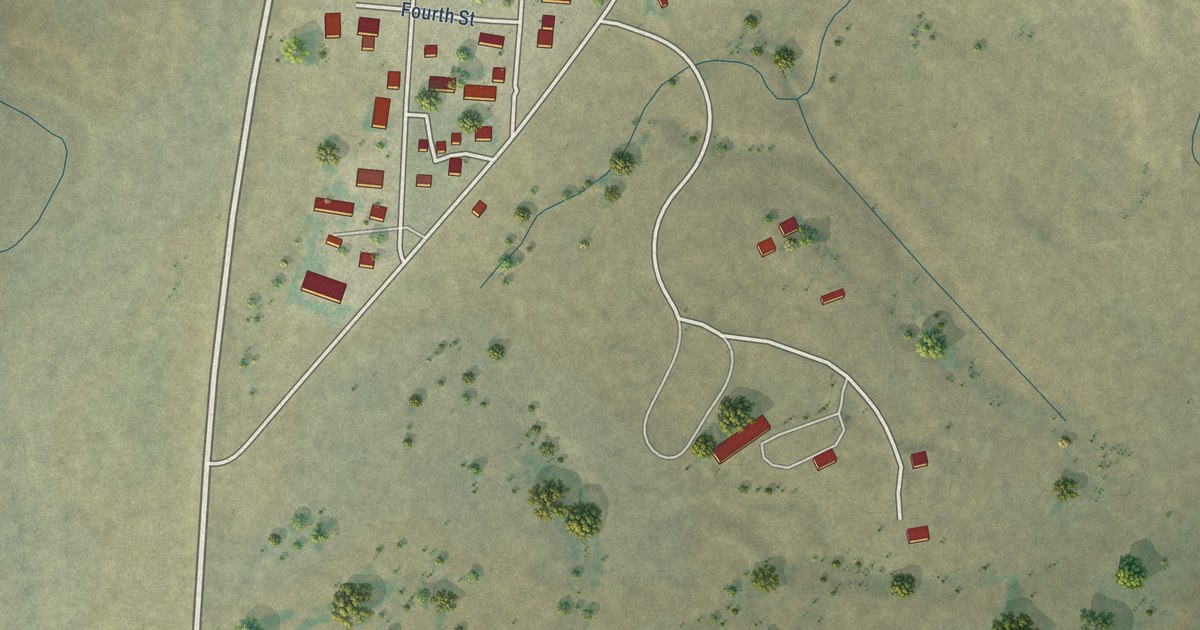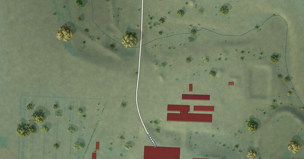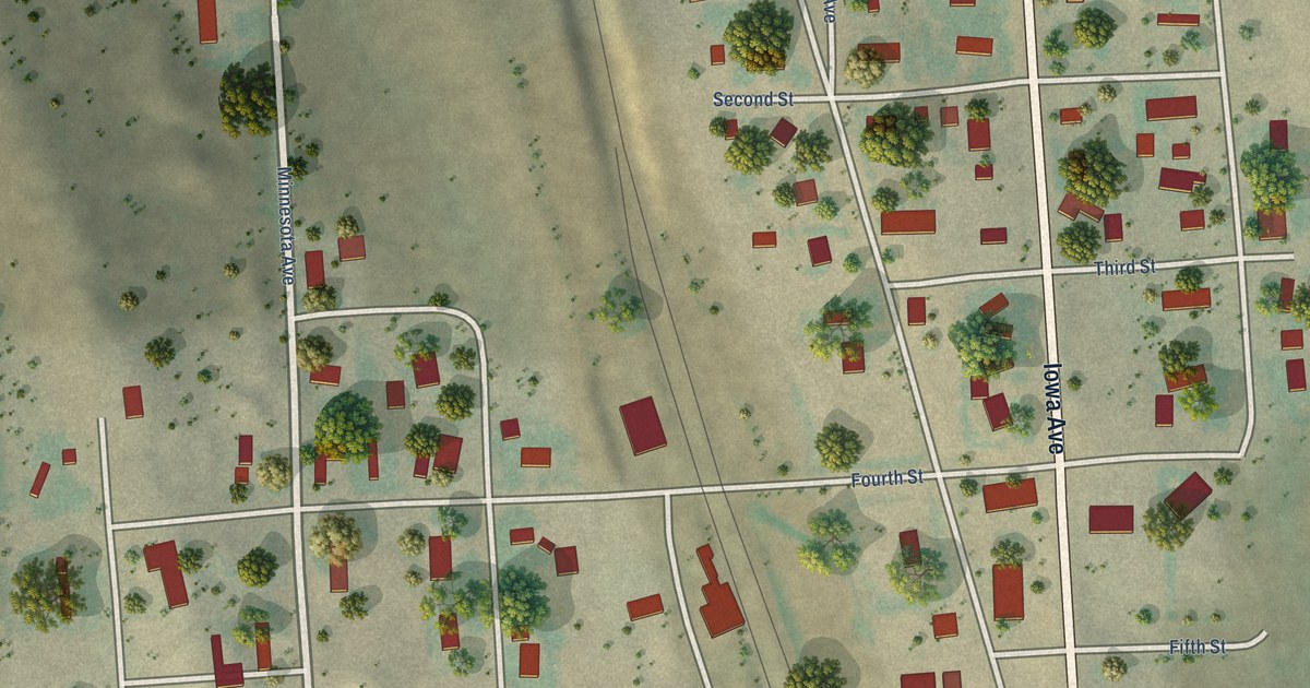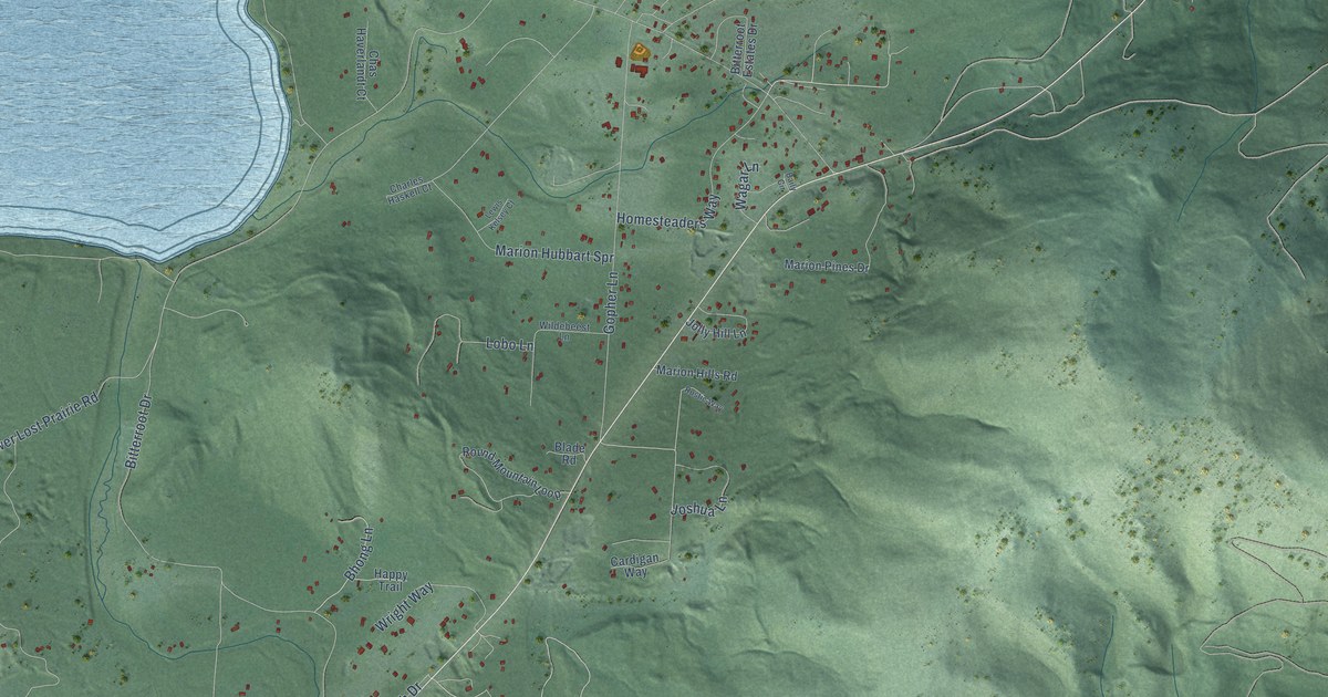
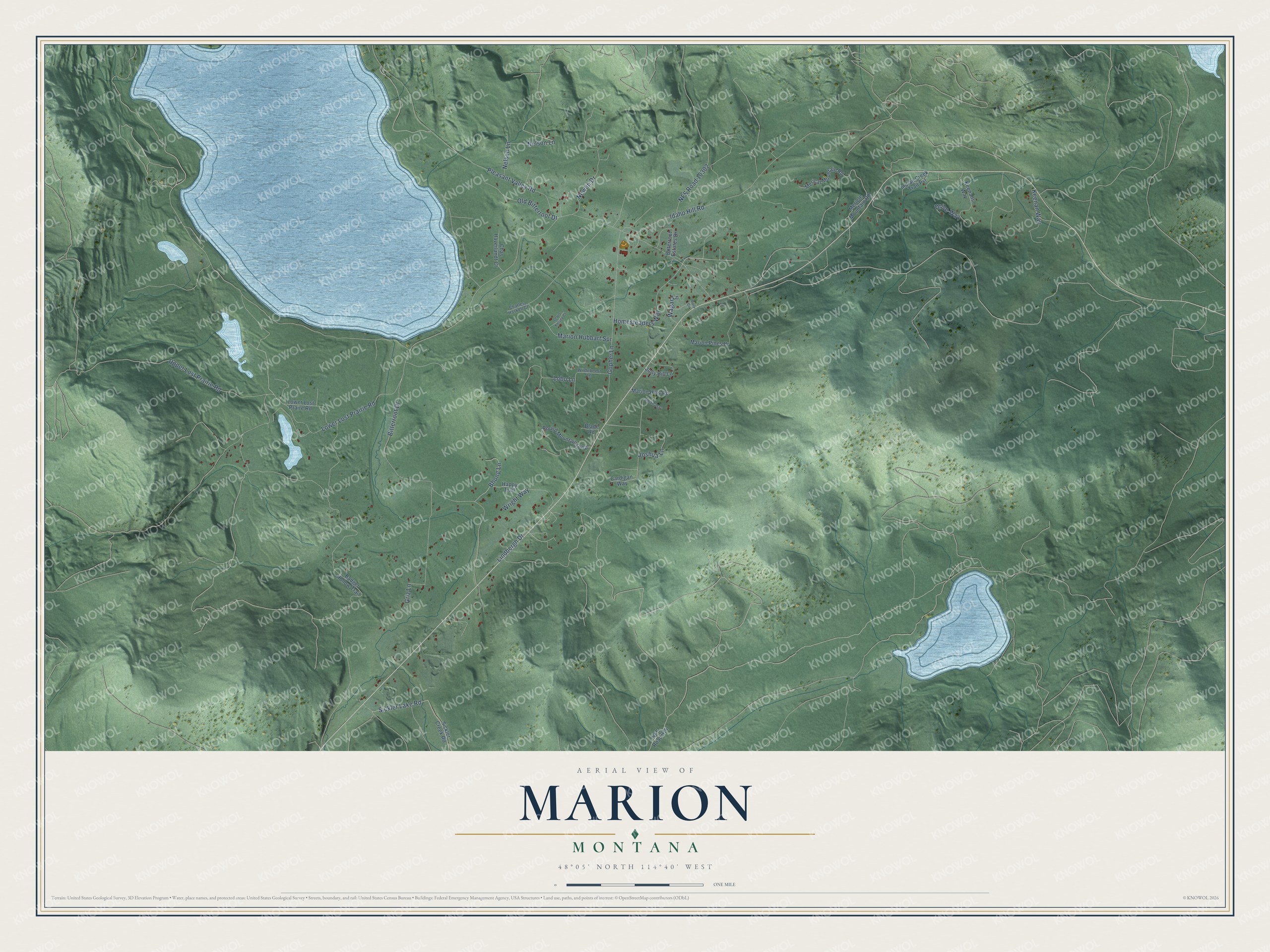
This beautifully detailed map of Marion, Montana was created in 2026 using aerial imagery combined with modern topographical, census, street and landmark data. It's a modern aerial view of Marion in Flathead County, Montana, that combines modern data with a vintage aesthetic. The roads feature printed names, and if you look closely you can find your exact house accurately shown in its correct location.
Explore an aerial view of Marion, Montana
On this map you'll find Nelson Lane, Sickler Lake Road, Lower Lost Prairie Road, Idaho Hill Road, Bitterroot Drive, Pleasant Valley Road, Upper Lost Prairie Road, Marion Hubbart Spr, Gopher Lane, NFS Road 10302, Griz Lane, Newlin Drive, and more. Each red shape is a building, so zoom in on the preview and look for yours.
Every town has a first chapter, and Marion is no exception. Marion was on the Great Northern Railway's original route through Kalispell. Later a new route left the line at Columbia Falls, swung west to Whitefish and became the new main line, replacing the original route through Kalispell and Marion. That's from the University of Minnesota Press.
Marion is a community in Flathead County. The Census Bureau counted 1,119 people here in 2020.
Take a closer look at the Marion map
Names on this map
These names are printed on this map.
Streets and roads: Nelson Lane, Sickler Lake Road, Lower Lost Prairie Road, Idaho Hill Road, Bitterroot Drive, Pleasant Valley Road, Upper Lost Prairie Road, Marion Hubbart Spr, Gopher Lane, NFS Road 10302, Griz Lane, Newlin Drive.
More street names, A to Z
Badger Hollow Trail, Baily Circle, Bhong Lane, Bitterroot Estates Drive, Blade Road, Cardigan Way, Charles Haskell Court, Chas Haverlandt Court, Drive Way, Happy Trail, Homesteaders Way, Indian Creek Trail Pvt, Jolly Hill Lane, Joshua Lane, Keenans Way, Keenan Way, Lewis Kelsey Court, Lindbergh Drive, Lobo Lane, Lower Lost Praire Road, Marion Hills Road, Marion Pines Drive, Merical Mountain Road, Mericle Mountain Road, Nelsen Lane, NFS Road 914, Old Bitterroot Drive, Round Mountain Loop, Rustic Way, Sickler Creek Road, Wagar Lane, Wildebeest Lane, Wright Way.
See it on a wall
The Marion map as a framed print. Swipe for more.


Created by KNOWOL in 2026. The buildings are small red shapes, the roads carry their printed names, and shaded relief shows the shape of the land. The title panel reads "AERIAL VIEW OF MARION, MONTANA" with 48°05' NORTH 114°40' WEST.
Hang it in the hallway, the office or the cabin, or give it to someone who left Marion and still calls it home. Open the preview and look for a street you know. See sizes and frames for the Marion map.