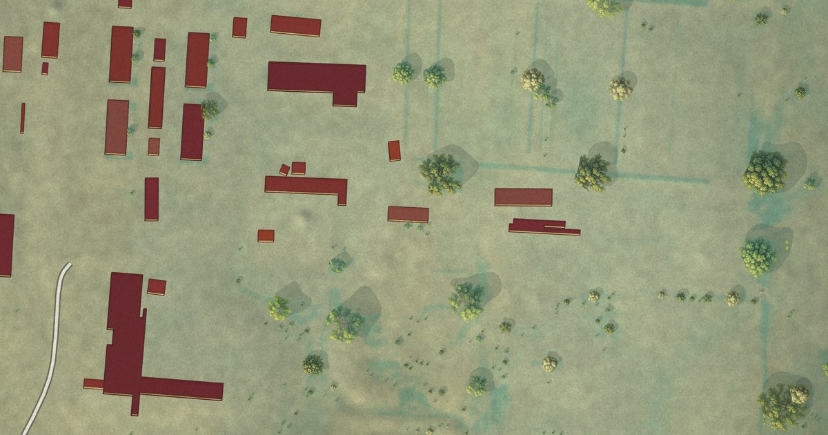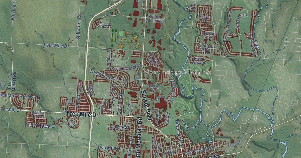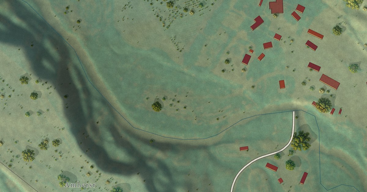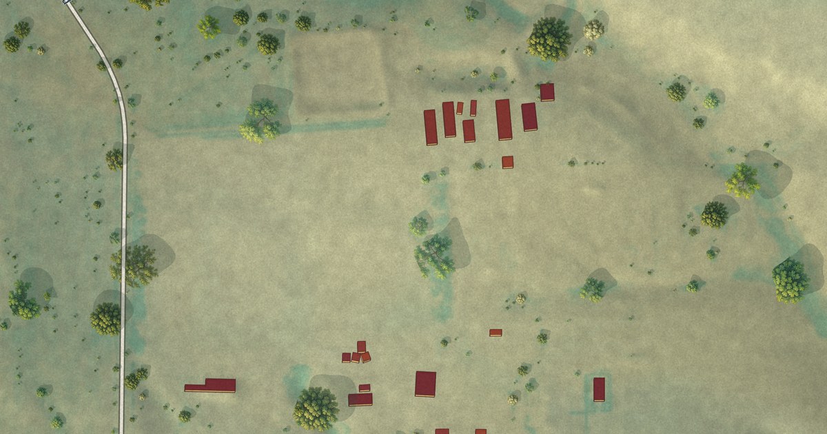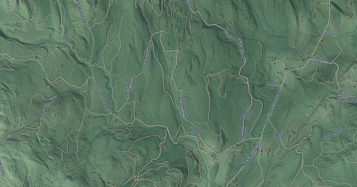
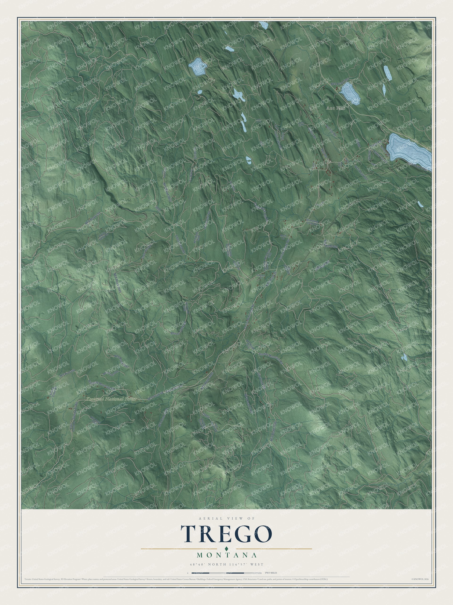
This beautifully detailed map of Trego, Montana was created in 2026 using aerial imagery combined with modern topographical, census, street and landmark data. It's a modern aerial view of Trego in Lincoln County, Montana, that combines modern data with a vintage aesthetic. The roads feature printed names, and if you look closely you can find your exact house accurately shown in its correct location.
Explore an aerial view of Trego, Montana
On this map you'll find Ant Flat, Kootenai National Forest, NFS Road 36, NFS Road 48, Pinkham Mountain Road, Jim Creek Road, NFS Road 3730, Sunday Mountain Road, Trego Road, NFS Road 865, Beaver Creek Road, Fortine Creek Road, and more. Each red shape is a building, so zoom in on the preview and look for yours.
Here is a piece of Trego history. Trego began in 1903 as a depot the Great Northern Railway built south of Eureka on its new main line from Whitefish. Railroad officials named it for Anna Trego Hogeland, wife of chief engineer A. H. Hogeland, and legend has it that Big Ole Knudson of Trego could hand-hew 100 railroad ties a day. Making ties for the Great Northern was an early mainstay in Trego, and the average tie hack made about 35 ties in a 10-hour day. That's from the Montana Historical Society.
Trego is a community in Lincoln County. The Census Bureau counted 515 people here in 2020.
Take a closer look at the Trego map
Names on this map
These names are printed on this map.
Places: Ant Flat and Kootenai National Forest.
Streets and roads: NFS Road 36, NFS Road 48, Pinkham Mountain Road, Jim Creek Road, NFS Road 3730, Sunday Mountain Road, Trego Road, NFS Road 865, Beaver Creek Road, Fortine Creek Road, Swamp Cr Road, Castle Rock Hill Road.
More street names, A to Z
Alder Lane, Alder Sring, Alpine Valley Road, Ant Flat Road, Bock Lane, Brimstone Creek Road, Butcher Creek Road, Castle Rock Road, Cave Creek Road, Cedar Hills Road, Edna Creek Road, Edna Mountain Road, Fortine-Wolf Creek Road, Fs 3651, Fs 36376, Griffin Road, Hawksbill Road, Hidden Cove Drive, Iron Horse Road, Ivor Creek Road, Ivory Creek Road, Ivory Creek Road 3590, Johnson Road, Lake Creek Road, Lime Creek Road, Loon Lake Road, Loon Lk Road, Mee Road, Metzner Road, NFS Road 433, NFS Road 494, NFS Road 857, NFS Road 3531, NFS Road 3585, NFS Road 3587, NFS Road 3588, NFS Road 3589, NFS Road 3590, NFS Road 3606, NFS Road 3637, NFS Road 3651, NFS Road 3732, NFS Road 3762, NFS Road 3788, NFS Road 7007, NFS Road 7166, Oldevaldt Road, Peters Lane, Rogan Hill Road, Swamp Creek Road.
See it on a wall
The Trego map as a framed print. Swipe for more.


Created by KNOWOL in 2026. The buildings are small red shapes, the roads carry their printed names, and shaded relief shows the shape of the land. The title panel reads "AERIAL VIEW OF TREGO, MONTANA" with 48°40' NORTH 114°57' WEST.
It suits a den, a classroom or a front hall, and it makes a gift for anyone with Trego roots. Open the preview and find the block you know. See sizes and frames for the Trego map.