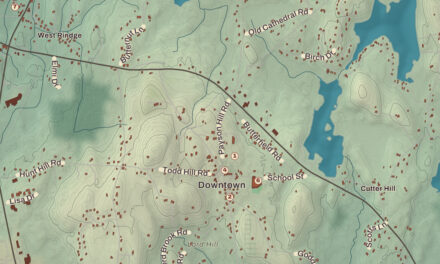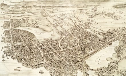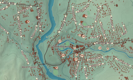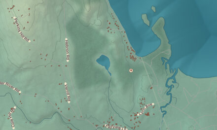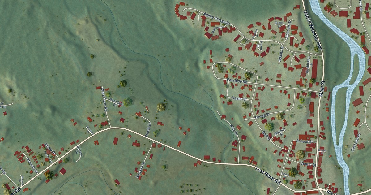
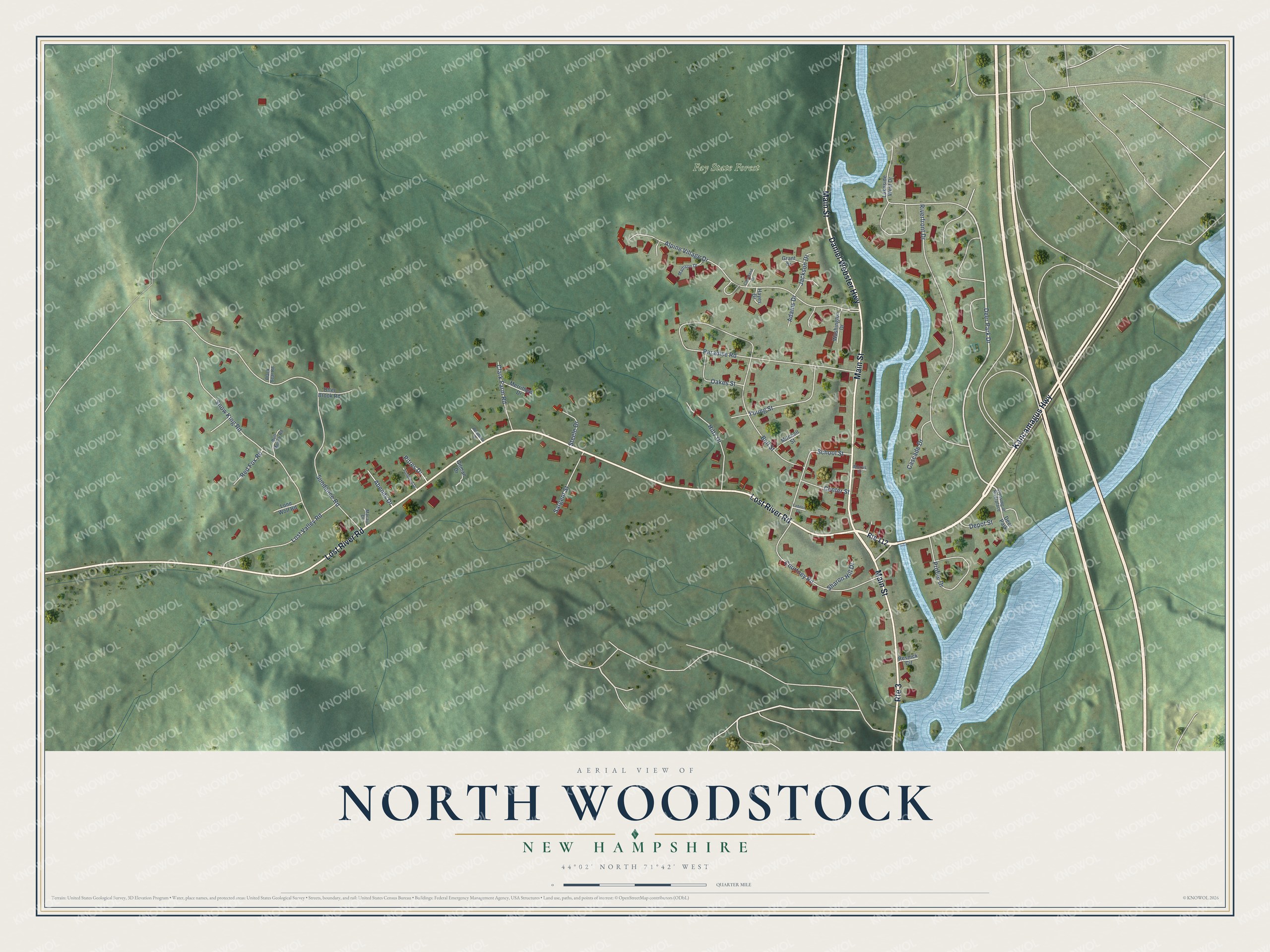
This beautifully detailed map of North Woodstock, New Hampshire was created in 2026 using aerial imagery combined with modern topographical, census, street and landmark data. It’s a one-of-a-kind view of North Woodstock that combines accurate data with a vintage aesthetic. The map shows every building in its true location, many of the roads carry their names, and the shaded topographic relief shows the shape of the land.
Explore an aerial view of North Woodstock, New Hampshire
On the map you’ll find Fay State Forest, along with Kancamagus Highway, Lost River Road, Daniel Webster Highway, Main Street, Deer Park Drive, Sundance Road, Paradise Road, Riverfront Drive, Alpine Village Drive, Snow King Road, Courtney Road, and more. North Woodstock sits about 2 miles southwest of Lincoln, 14 miles southeast of Mountain Lakes and 16 miles southeast of Lisbon. If you look closely you can even find your house accurately drawn in its correct location. Zoom in on the preview to look for yours.
Take a closer look at the North Woodstock map
Names on this map
These names are printed on this map.
Places: Fay State Forest and Deer Park.
Streets and roads: Route 3, Kancamagus Highway, Lost River Road, Daniel Webster Highway, Main Street, Deer Park Drive, Sundance Road, Paradise Road, Riverfront Drive, Alpine Village Drive, Snow King Road, Courtney Road.
More street names, A to Z
Abends Drive, Adams Drive, Bell Street, Black Bear Road, Bull Moose Road, Cascade Drive, Center Street, Clark Farm Road, Cleveland Drive, Crossing at Riverplace, Depot Street, Fadden Drive, Gilman Drive, Grant Drive, Hayes Drive, Hiltz Drive, Jackson Drive, Lakeside West Drive, Lone Wolf Road, Lost Valley Road, Macaul Drive, Madison Drive, Merrithew Drive, Mitchell Street, Morris Street, Oakes Street, Otter Brook Road, Pitres Drive, Pondfield Drive, Profile Drive, Red Fox Road, Resnick Circle, Route 112, Sargent Street, School Street, Sharon Hill Drive, Steele Drive, Washington Drive, Woodside Drive, Young Street.
See it on a wall
The North Woodstock map as a framed print. Swipe for more.


This beautifully detailed map of North Woodstock makes an attractive addition to your office, library, or den, and it can even be used to teach children the geography and history of the area. It also makes a great gift for someone who left North Woodstock and still calls it home. When you’re done exploring, click here to get your copy of the North Woodstock map.