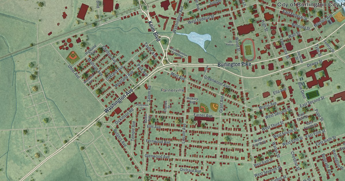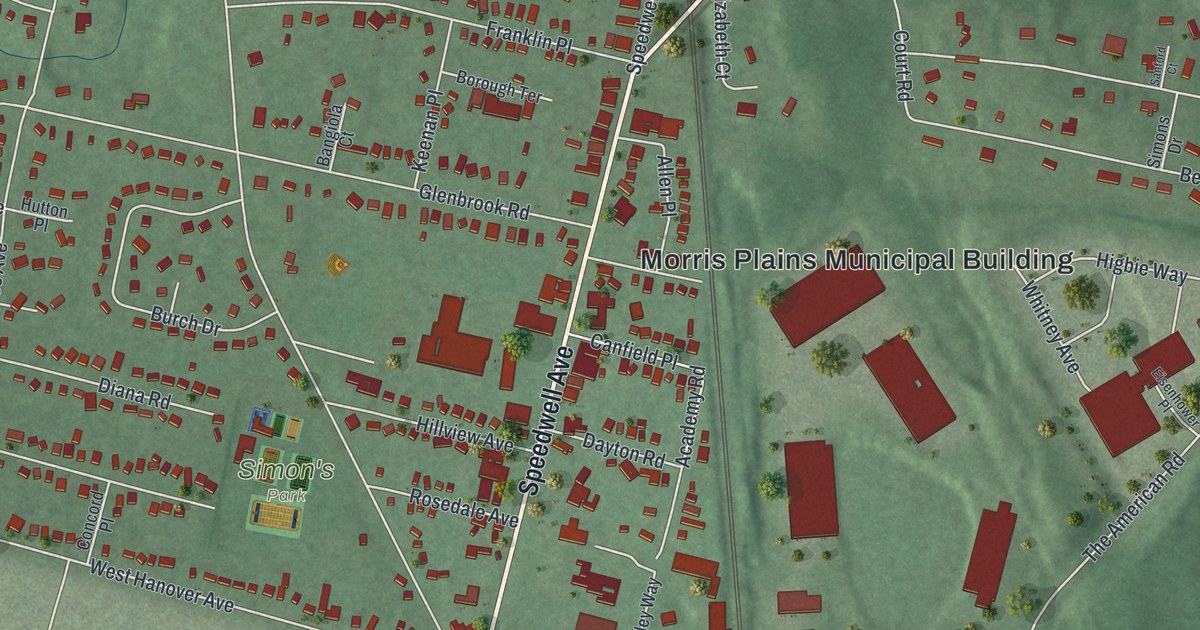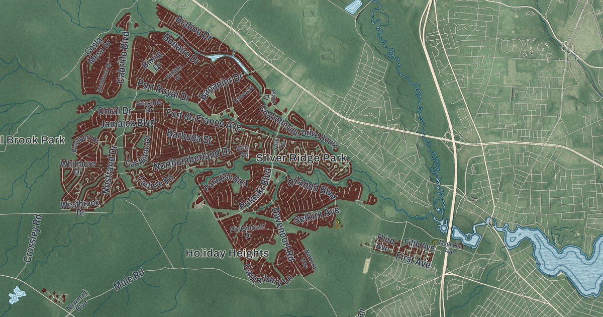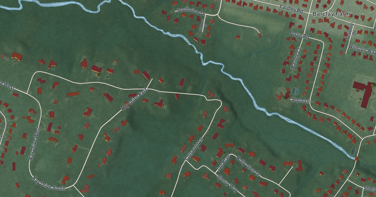
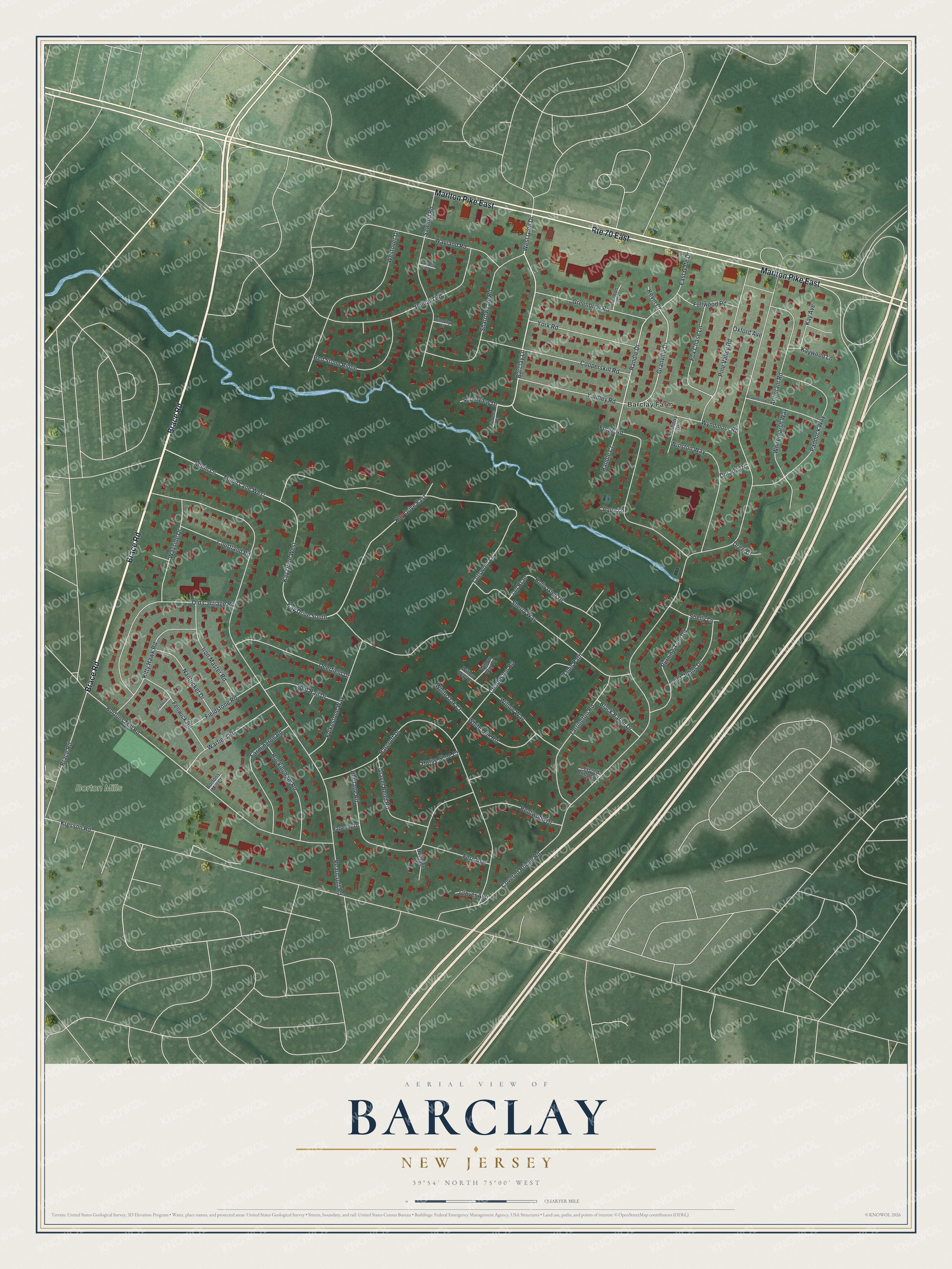
This beautifully detailed map of Barclay, New Jersey was created in 2026 using aerial imagery combined with modern topographical, census, street and landmark data. It's a modern aerial view of Barclay in Camden County, New Jersey, that combines modern data with a vintage aesthetic. The roads feature printed names, and if you look closely you can find your exact house accurately shown in its correct location.
Explore an aerial view of Barclay, New Jersey
On this map you'll find Borton Mills, Barclay Farm, Brace Road, Marlton Pike East, Barclay Lane, West Gate Drive, Randle Drive, Granville Drive, Covered Bridge Road, Pearlcroft Road, Kresson Road, Munn Lane, and more. Each red shape is a building, so zoom in on the preview and look for yours.
Barclay is a community in Camden County. The Census Bureau counted 4,656 people here in 2020. Barclay sits about 2 miles north of Ashland, 2 miles east of Haddonfield and 2 miles west of Greentree. The map prints the town name in its title panel, with the coordinates below it.
Take a closer look at the Barclay map
Names on this map
These names are printed on this map.
Places: Borton Mills and Barclay Farm.
Streets and roads: Brace Road, Marlton Pike East, Route 70 East, Barclay Lane, West Gate Drive, Kay Drive South, Randle Drive, Granville Drive, Kay Drive East, Covered Bridge Road, Pearlcroft Road, Kresson Road.
More street names, A to Z
Antietam Road, Aqua Lane, Barcroft Drive, Beaverbrook Drive, Bentwood Drive, Black Baron Drive, Bortons Mill Court, Bortons Mill Road, Burning Tree Road, Charleston Road, Clover Avenue, Cooperskill Road, Cotswold Lane, Courtland Road, Covered Bridge Court, Deerfield Drive, Dickens Court, Dorado Drive, Drew Court, East Gate Drive, Farmington Road, Fenwick Court, Fenwick Road, Fern Avenue, Fieldstone Road, Folkestone Way, Forge Road, Fox Chase Lane, Fullwood Road, Gravel Bend Road, Greenbriar Road, Hapenny Drive, Heritage Court, Heritage Road, Holly Glen Drive, Horse Shoe Court, Iron Master Road, Jan Brae, Kay Avenue, Kay Drive West, Kaywood Lane, Kevin Court, Kitty Hawk Road, Munn Lane, Munn Lane West, Nantucket Drive, Old Carriage Road, Oxford Avenue, Paddock Way, Pams Path, Pelham Road, Pine Valley Road, Randle Court, Red Stone Ridge, Rockingham Road, Saint Johns Drive, Sawmill Court, Sawmill Road, Sharrowvale Road, Shelly Lane, Sherry Way, Southview Drive, Split Rail Drive, Tarlton Court, Tarrington Road, Teaberry Drive, Timothy Court, Warfield Road, Wayland Road, Wayside Drive, Westover Drive, Whitemarsh Way, White Oak Court, White Oak Road, Willow Way, Willow Way Court, Willow Way Place, Winston Way, Wyndmoor Road, Yardley Road, York Road.
See it on a wall
The Barclay map as a framed print. Swipe for more.


Created by KNOWOL in 2026. The buildings are small red shapes, the roads carry their printed names, and shaded relief shows the shape of the land. The title panel reads "AERIAL VIEW OF BARCLAY, NEW JERSEY" with 39°54' NORTH 75°00' WEST.
It suits a den, a classroom or a front hall, and it makes a gift for anyone with Barclay roots. Open the preview and find the block you know. See sizes and frames for the Barclay map.