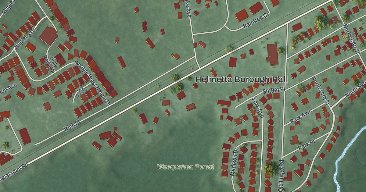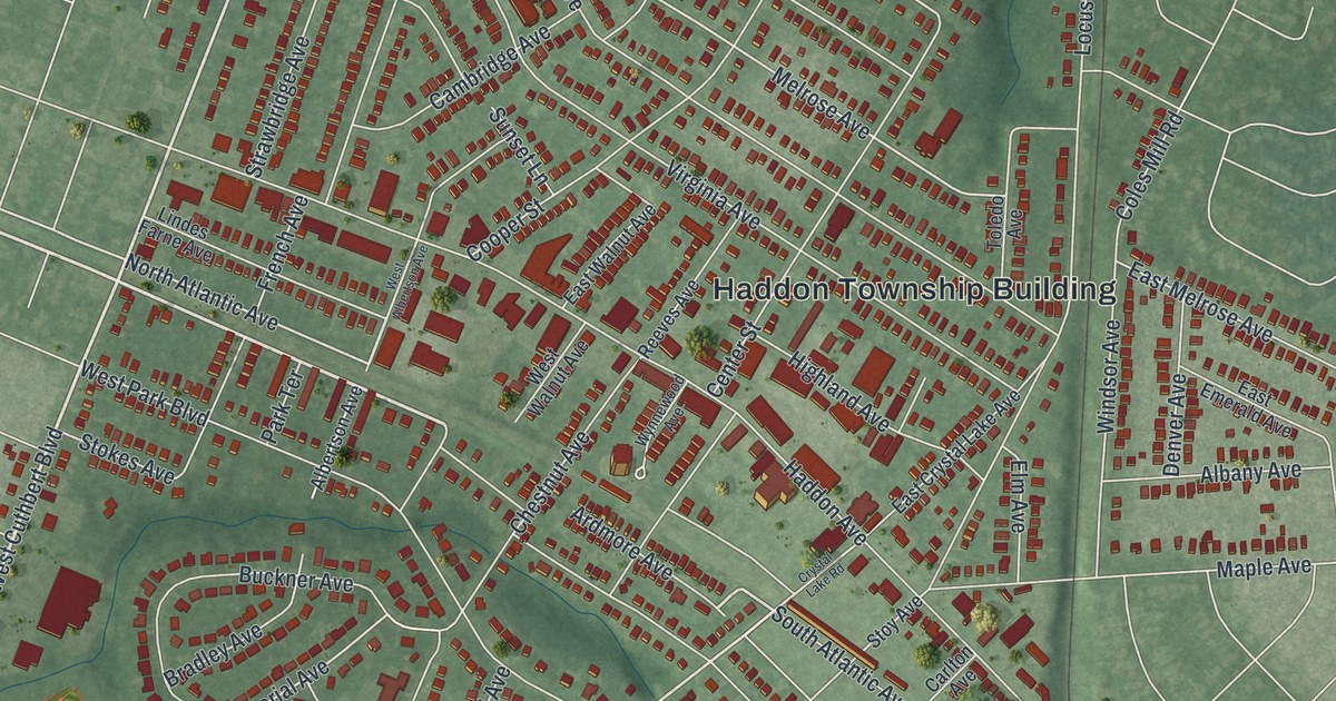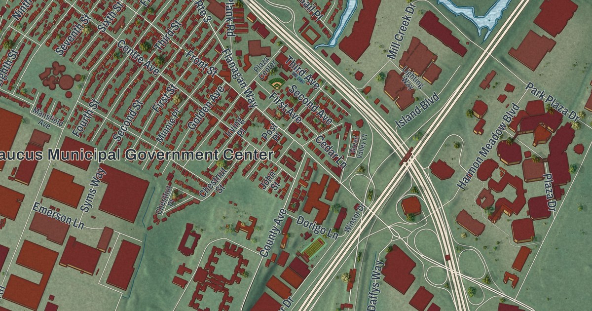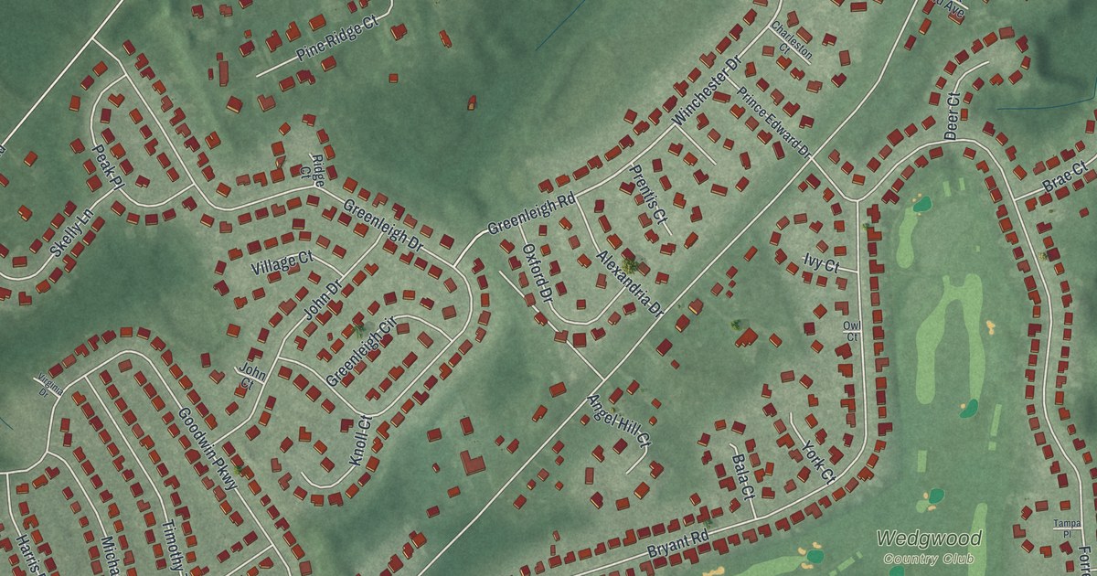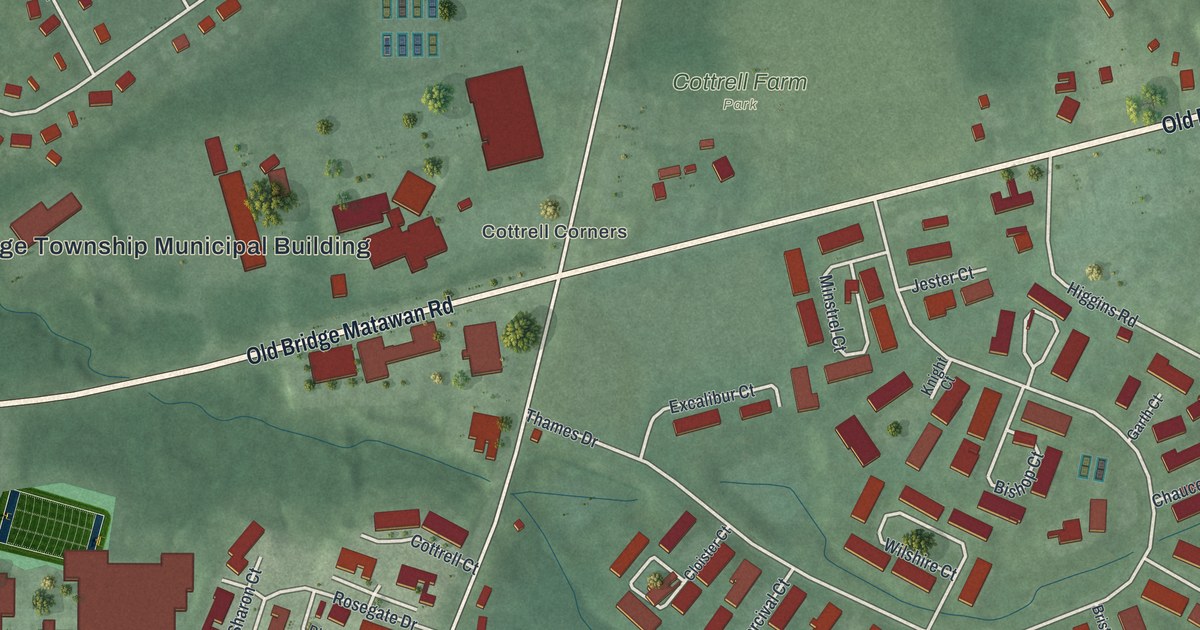
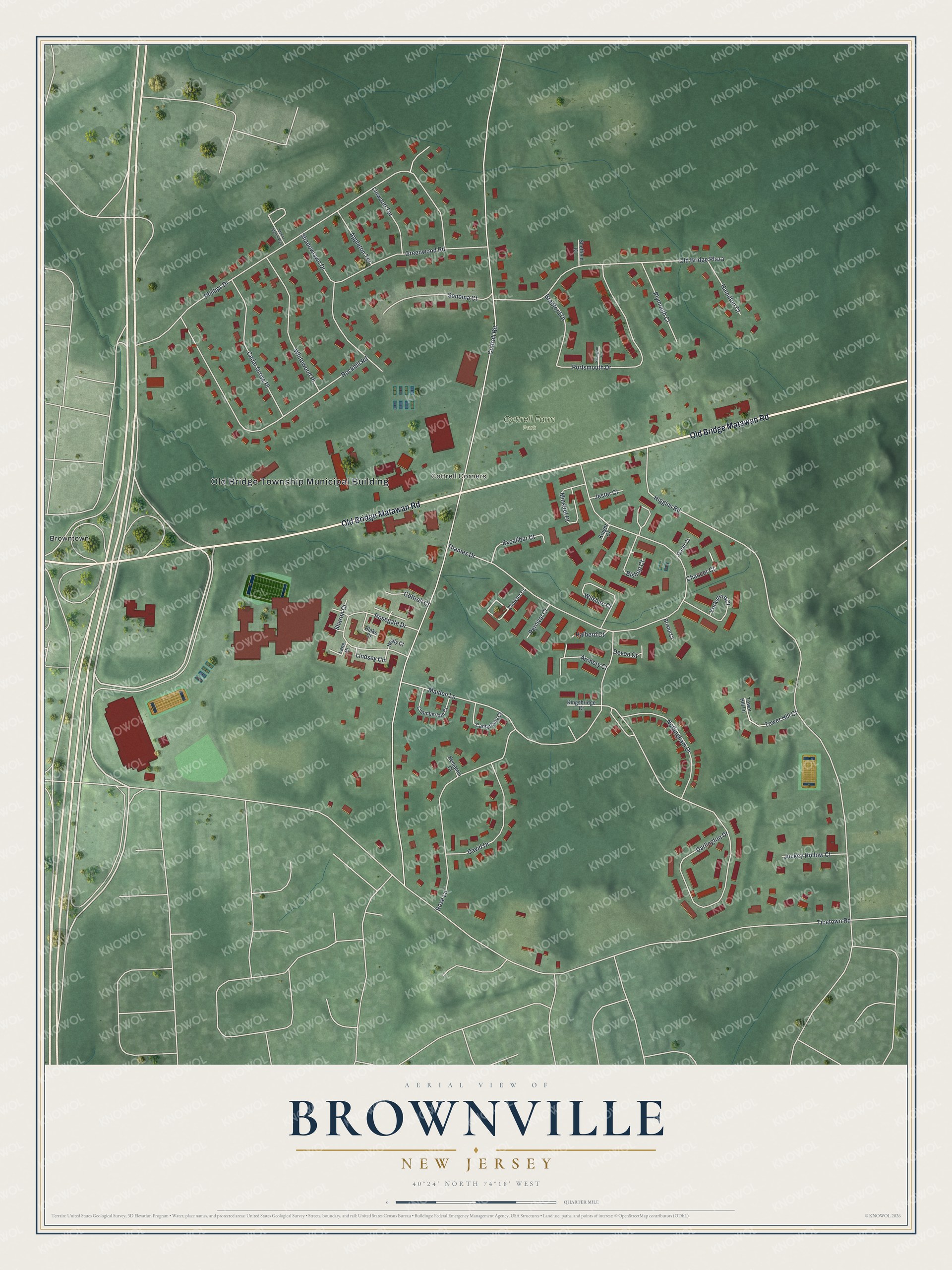
This beautifully detailed map of Brownville, New Jersey was created in 2026 using aerial imagery combined with modern topographical, census, street and landmark data. It's a modern aerial view of Brownville in Middlesex County, New Jersey, that combines modern data with a vintage aesthetic. The roads feature printed names, and if you look closely you can find your exact house accurately shown in its correct location.
Explore an aerial view of Brownville, New Jersey
On this map you'll find Old Bridge Township Municipal Building, Cottrell Corners, Cottrell Farm Park, Browntown, Old Bridge Matawan Road, Ticetown Road, Cottrell Road, Higgins Road, Thames Drive, Phillips Drive, Darlington Drive, Maiden Lane, and more. Each red shape is a building, so zoom in on the preview and look for yours.
Brownville has a story worth telling. In 1737 John Brown and his wife Susanne built the Brown Homestead in what is now Old Bridge. They got about 1,000 acres through a grant from the King of England and called their land Brownville, a name that in time became Browntown. As each of their nine sons married, John Brown gave him a share of the land from the grant. That's from the Weekend Sentinel.
Brownville is a community in Middlesex County. The Census Bureau counted 2,746 people here in 2020. The map prints the town name in its title panel, with the coordinates below it.
Take a closer look at the Brownville map
Names on this map
These names are printed on this map.
Places: Old Bridge Township Municipal Building, Cottrell Corners, Cottrell Farm Park and Browntown.
Streets and roads: Old Bridge Matawan Road, Ticetown Road, Cottrell Road, Higgins Road, Thames Drive, Phillips Drive, Darlington Drive, Maiden Lane, Rockhill Road, Old Bridge Plaza, Rose Lane, Portsmouth Drive.
More street names, A to Z
Appleton Terrace, Archery Court, Benjamin Court, Bishop Court, Blake Court, Bradford Drive, Bristol Court, Canterbury Court, Cedar Grove Place, Chamberlain Court, Chaucer Court, Cloister Court, Cottrell Court, David Drive, Devon Court, Excalibur Court, Garth Court, Greenwood Road, Halberd Court, Hamilton Court, Jester Court, Jockey Hollow Court, Killington Court, Kingsbridge Court, Knight Court, Lane Court, Lindsey Circle, Linwood Terrace, Manny Martin Way, Minstrel Court, Neilly Court, Nottingham Drive, Percival Court, Plymouth Court, Rosegate Drive, Shadowlawn Drive, Sharon Court, Sheffield Court, Sonoma Court, Tower Hill Court, Tower Hill Lane, Whitewood Place, Wilshire Court, Yorkshire Court.
See it on a wall
The Brownville map as a framed print. Swipe for more.


Created by KNOWOL in 2026. The buildings are small red shapes, the roads carry their printed names, and shaded relief shows the shape of the land. The title panel reads "AERIAL VIEW OF BROWNVILLE, NEW JERSEY" with 40°24' NORTH 74°18' WEST.
It looks right in a kitchen, an office or a den, and it's a gift for anyone who grew up in Brownville or moved away. Open the preview and find your street. See sizes and frames for the Brownville map.