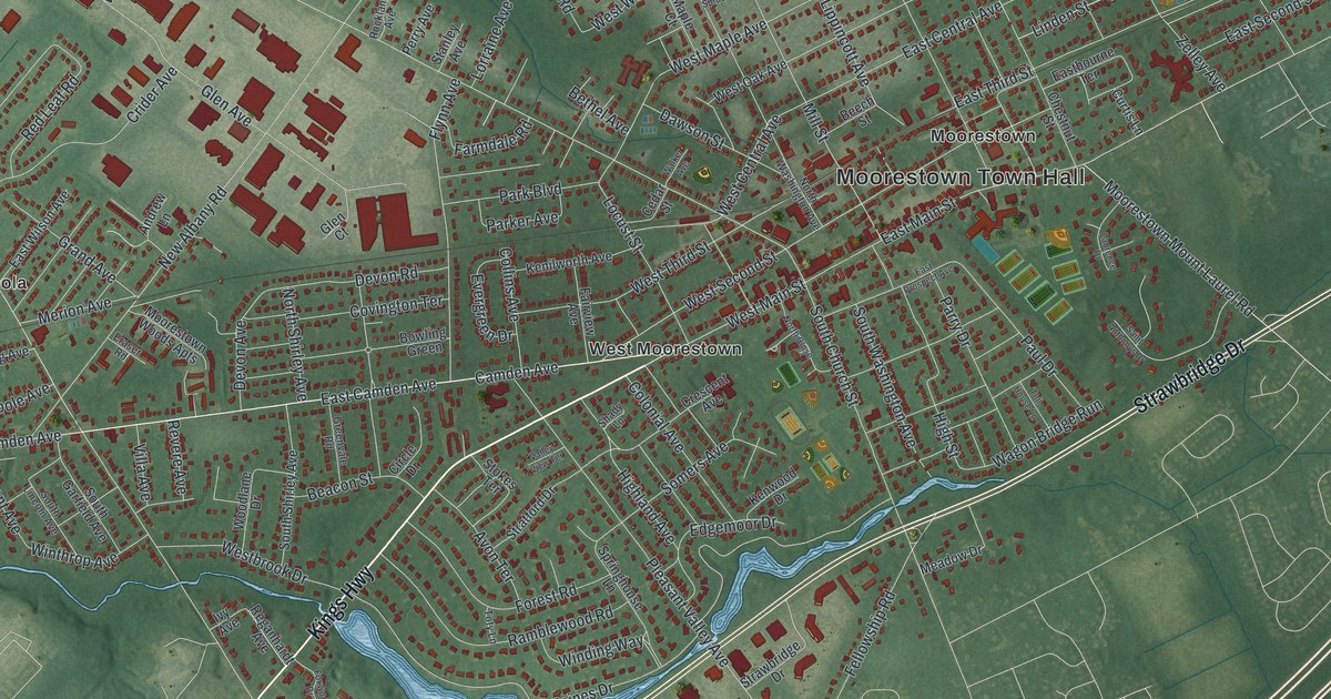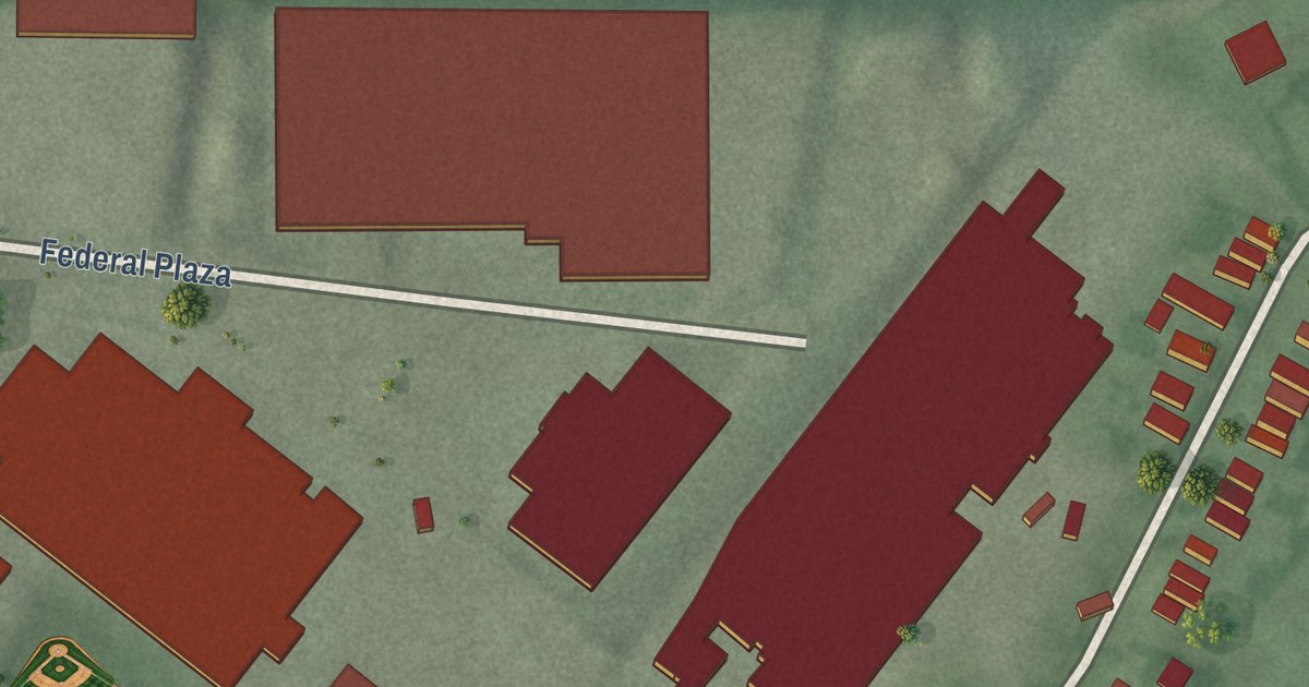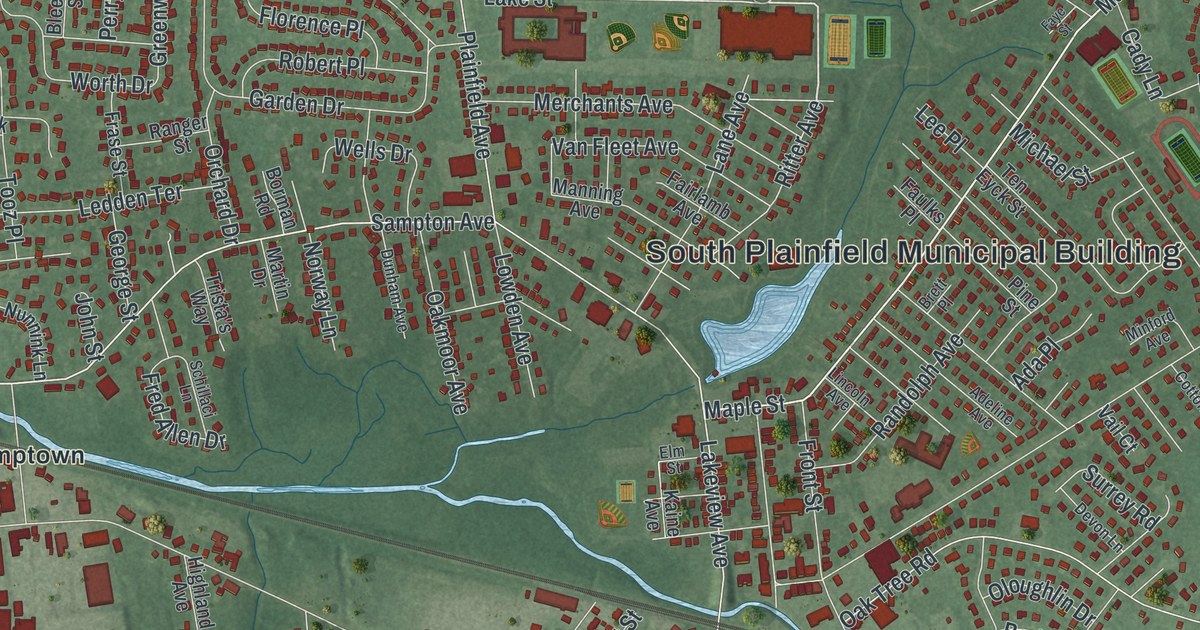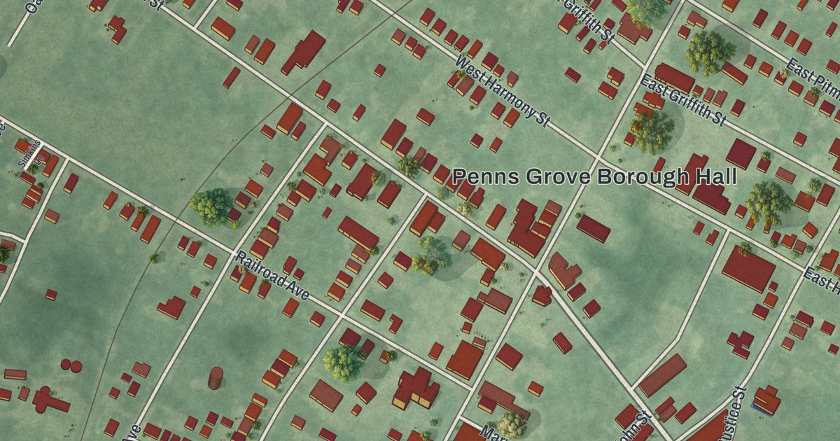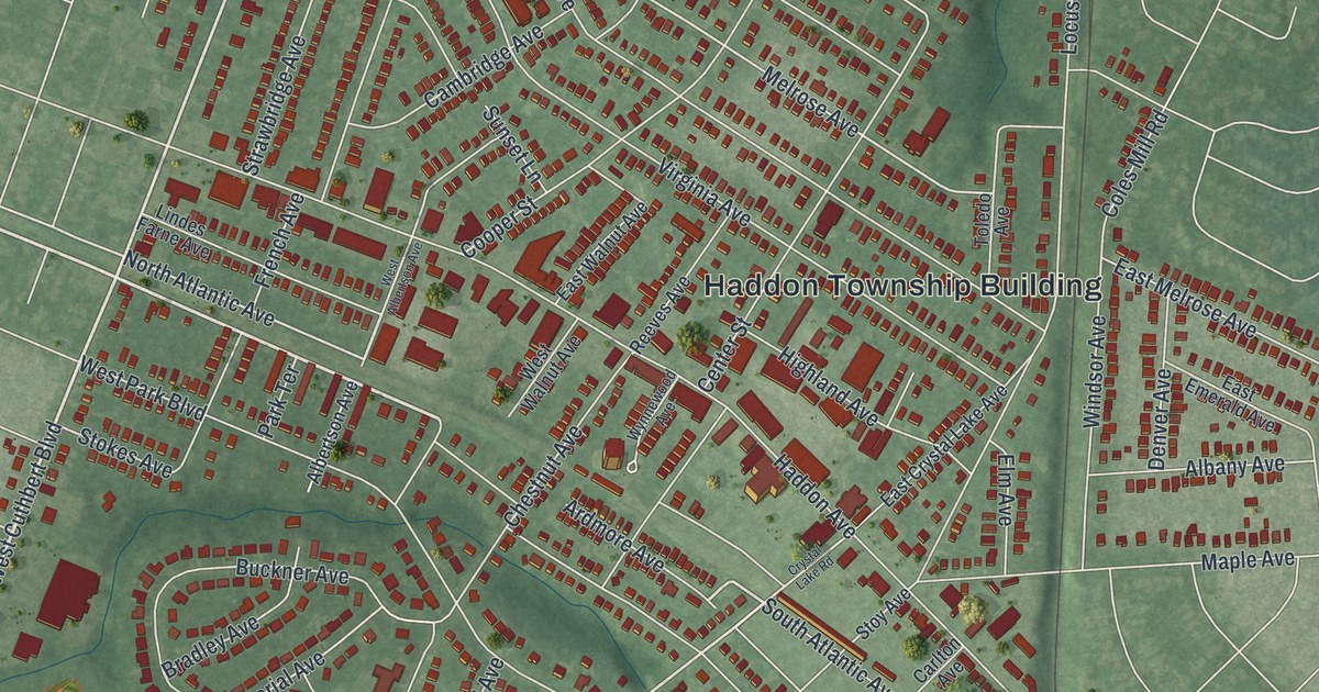
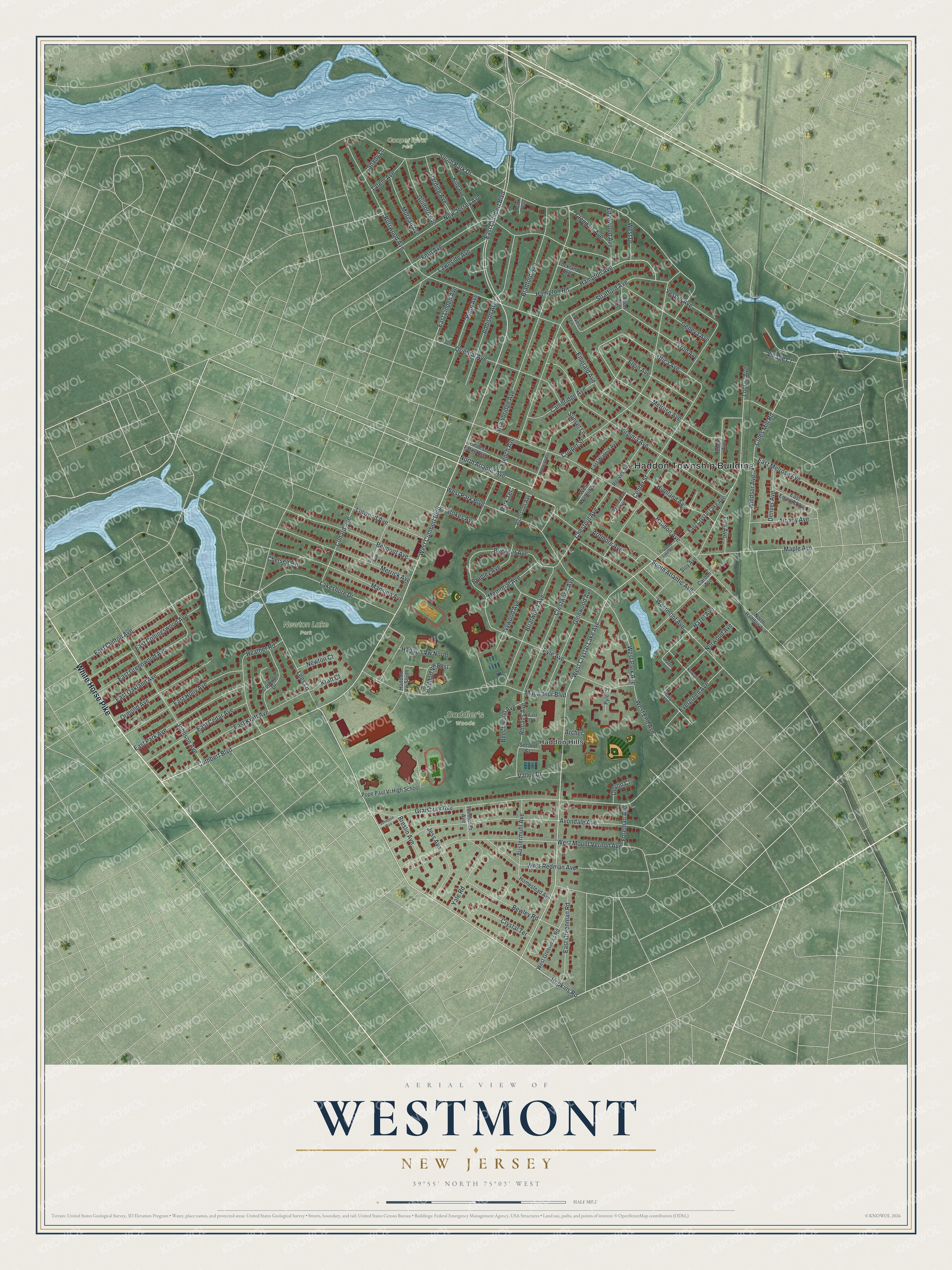
This beautifully detailed map of Westmont, New Jersey was created in 2026 using aerial imagery combined with modern topographical, census, street and landmark data. It’s a one-of-a-kind view of Westmont that combines accurate data with a vintage aesthetic. The map shows every building in its true location, many of the roads carry their names, and the shaded topographic relief shows the shape of the land.
Explore an aerial view of Westmont, New Jersey
On the map you’ll find Haddon Township Building, Haddon Hills, Cooper River Park, and Newton Lake Park, along with White Horse Pike, Hopkins Road, Cuthbert Boulevard, Atlantic Avenue, and more. If you look closely you can even find your house accurately drawn in its correct location. Zoom in on the preview to look for yours.
Take a closer look at the Westmont map
Names on this map
These names are printed on this map.
Places: Haddon Township Building, Cooper River Park, Newton Lake Park, Saddler's Woods and Haddon Hills.
Streets and roads: White Horse Pike, Hopkins Road, West Cuthbert Boulevard, South Atlantic Avenue, Cuthbert Boulevard, East Cuthbert Boulevard, West Crystal Lake Avenue, Ardmore Avenue, North Atlantic Avenue, Melrose Avenue, West Park Avenue, Graisbury Avenue.
More street names, A to Z
Addison Avenue, Akron Avenue, Albany Avenue, Albertson Avenue, Alton Avenue, Archer, Austermuhl Avenue, Avondale Avenue, Beechwood Avenue, Belmont Avenue, Bewley Road, Bradford Avenue, Bradley Avenue, Breslin Avenue, Briarwood Avenue, Buckner Avenue, Burrwood Avenue, Cambridge Avenue, Carlton Avenue, Center Street, Chelsea Avenue, Chestnut Avenue, Coles Mill Road, Conard Avenue, Cooper Street, Cornwall Drive, Crestwood Avenue, Crystal Lake Road, Crystal Terrace, Denver Avenue, Devon Court, East Cedar Avenue, East Clinton Avenue, East Collingswood Avenue, East Crystal Lake Avenue, East Emerald Avenue, East Greenman Road, East Greenwood Avenue, East Holly Avenue, East Kraft Avenue, East Linden Avenue, East Melrose Avenue, East Oakland Avenue, East Park Avenue, East Walnut Avenue, Edgewood Avenue, Elgin Avenue, Elm Avenue, Emerald Avenue, Estaugh Avenue, Evergreen Avenue, Fern Avenue, First Street, Foreman Avenue, French Avenue, Geneva Avenue, Glendale Avenue, Glenwood Avenue, Guilford Avenue, Haddon Avenue, Haddon Vw East, Haddon Vw North, Haddon Vw South, Hampton Avenue, Hampton Road, Harding Avenue, Hazel Avenue, Hazel Terrace, Heather Road, Highland Avenue, Homestead Avenue, Ivywood Avenue, Jess Avenue, Johnson Avenue, Johnston Avenue, King Avenue, Kraft Court, Lakeshore Drive, Lawnside Avenue, Lees Lane, Lindes Farne Avenue, Linwood Avenue, Lockland Avenue, Locust Avenue, Lovell Lane, Macarthur Boulevard, Mansion Avenue, Maple Avenue, Memorial Avenue, Merrick Avenue, Morgan Avenue, New Jersey Avenue, Newton Court, North Haddon Avenue, Norwood Avenue, Norwood Terrace, Ogden Avenue, Oriental Avenue, Ormond Avenue, Park Court, Park Terrace, Penn Avenue, Pope Paul Vi High School, Pyle Avenue, Pyle Court, Reeves Avenue, Rhoads Avenue, Second Street, Shady Lane, South Park Drive, Stokes Avenue, Stoy Avenue, Stratford Avenue, Strawbridge Avenue, Sunset Lane, Tatem Avenue, Toledo Avenue, Tomlinson Avenue, Utica Avenue, Valley Drive, Vesper Avenue, Village Court, Virginia Avenue, West Albertson Avenue, West Drive, West End Avenue, West Greenman Road, Westmont Avenue, West Mount Vernon Avenue, West Park Boulevard, West Redman Avenue, West Walnut Avenue, Windsor Avenue, Wynnewood Avenue, Yale Road.
See it on a wall
The Westmont map as an 18 x 24 inch print in a black frame.

This beautifully detailed map of Westmont makes an attractive addition to your office, library, or den, and it can even be used to teach children the geography and history of the area. It also makes a great gift for anyone who grew up in Westmont or moved away. When you’re done exploring, click here to get your copy of the Westmont map.