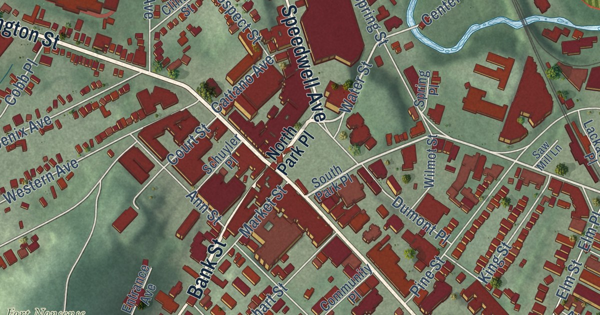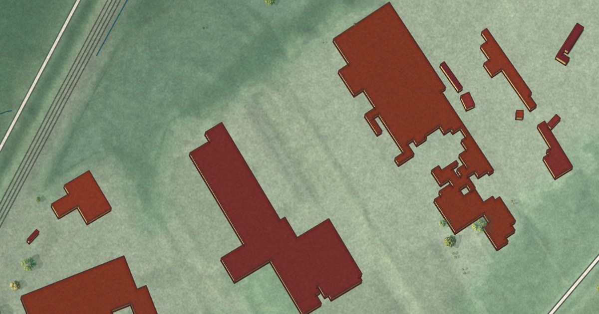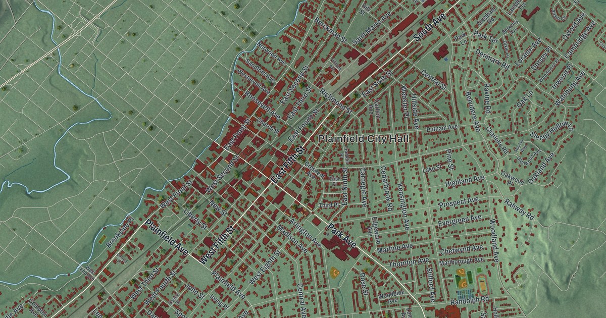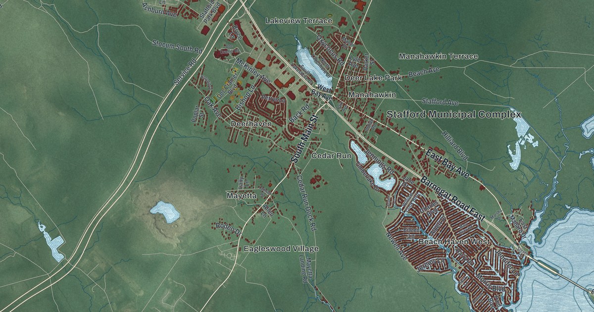
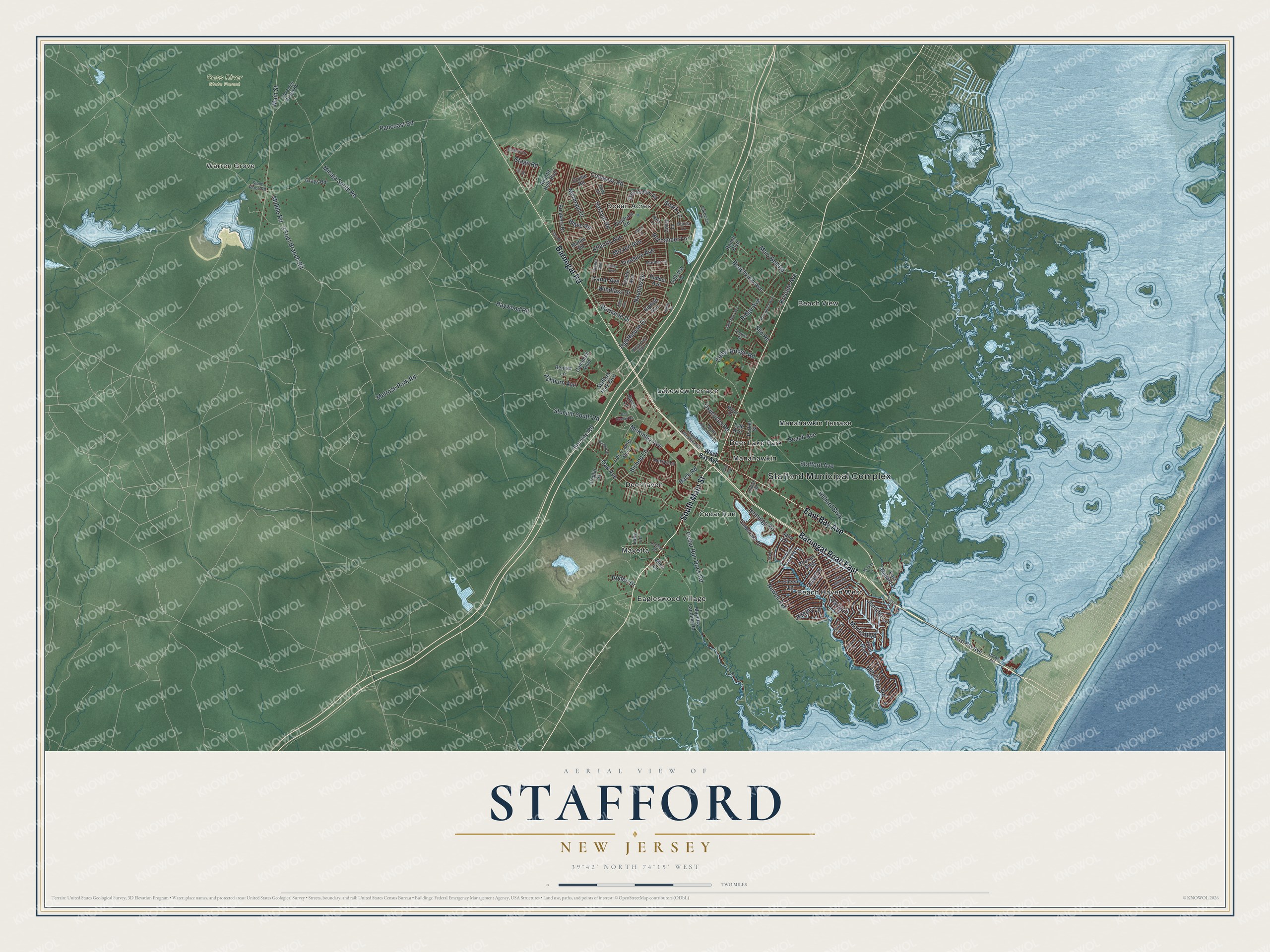
This beautifully detailed map of Stafford, New Jersey was created in 2026 using aerial imagery combined with modern topographical, census, street and landmark data. It’s a one-of-a-kind view of Stafford that combines accurate data with a vintage aesthetic. The map shows every building in its true location, many of the roads carry their names, and the shaded topographic relief shows the shape of the land.
Explore an aerial view of Stafford, New Jersey
On the map you’ll find Stafford Municipal Complex, Warren Grove, Beach Haven West, Beach View, Cedar Run, Deer Lake Park, and Bass River State Forest, along with Bay Avenue, Main Street, Barnegat Road, Melrose Park Road, and more. If you look closely you can even find your house accurately drawn in its correct location. Zoom in on the preview to look for yours.
Did You Know?
Stafford Township was named after Staffordshire in England. A royal charter created it on March 3, 1750, from part of Shrewsbury Township. For generations the township stayed rural, except for the busy downtown of Manahawkin. Rapid growth came in the 1950s, when builders laid out resort neighborhoods such as Beach Haven West and Ocean Acres.
Take a closer look at the Stafford map
Names on this map
These names are printed on this map.
Places: Stafford Municipal Complex, Warren Grove, Bass River State Forest, Beach Haven West, Beach View, Cedar Run, Deer Lake Park, Deerhaven, Eagleswood Village, Lakeview Terrace, Manahawkin, Manahawkin Terrace, Mayetta and Ocean Acres.
Streets and roads: East Bay Avenue, South Main Street, Barnegat Road, Barnegat Road East, Melrose Park Road, 3 Foot Branch Road, Morris Boulevard, McKinley Avenue, Beachview Avenue, Newell Avenue, Micaja South Road, Beach Avenue.
More street names, A to Z
Ahoy Road, Albert Drive, Allen Lane, Andrew Drive, Ashburn Avenue, Aspen Lane, Atlantic Hills Boulevard, Atlantis Avenue, Back Road, Barnacle Drive, Barry Lane, Bennet Lane, Bishop Lane, Bonita Lane, Breakers Drive, Bryce Lane, Buccaneer Lane, Campbell Boulevard, Canal Avenue, Cedar Bridge Road, Cedar Run Dock Road, Charles Boulevard, Commodore Road, Compass Road, Coral Lane, Cruise Road, Doc Cramer Boulevard, Doc Cramer Road, East Mallard Drive, Eileen Lane, Fir Road, Flipper Avenue, Gaff Road, Galley Avenue, Golfview Drive, Grays Road, Harry Drive, Hatch Lane, Haywood Road, Hilliard Boulevard, Indian Road, Jane Drive, Jennifer Lane, Jennings Road, Jeremy Lane, Katydid Drive, Kristine Avenue, Lakeview Drive, Lally Lane, Lamson Road, Lighthouse Drive, Lyle Avenue, Main Street, Manor Drive, Mariner Lane, Marlin Road, Marsha Drive, Mary Alice Road, Mary Bell Road, Mayetta Landing Road, Mermaid Drive, Middle Road, Mill Creek Road, Mizzen Avenue, Mulberry Drive, Nautilus Drive, Navy Lane, North Lakeshore Drive, Oak Avenue, Old Bay Avenue, Old Cedar Bridge Road, Oxycocus Road, Pancoast Road, Park Avenue, Parker Street, Paul Boulevard, Perrys Lane, Poplar Street, Popper Street, Prospect Avenue, Quadrant Road, Ranch Boulevard, Ridge Avenue, Riptide Avenue, Rodeo Drive, Rudder Avenue, Saint Mary Avenue, Sandy Circle, Service Road, Sextant Road, Shark Lane, Silo Road, Simm Place Road, South Lakeshore Drive, Stafford Avenue, Stafford Park Boulevard, Stage Road, Steven Drive, Stocum South Road, Tackle Avenue, Tiller Avenue, Timberlake Drive, Treasure Avenue, Wave Road, West Bay Avenue, Whispering Oak Lane, William Cook Boulevard, Windlass Drive.
See it on a wall
The Stafford map as an 18 x 24 inch print in a black frame.

This beautifully detailed map of Stafford makes an attractive addition to your office, library, or den, and it can even be used to teach children the geography and history of the area. It also makes a great gift for someone who left Stafford and still calls it home. When you’re done exploring, click here to get your copy of the Stafford map.