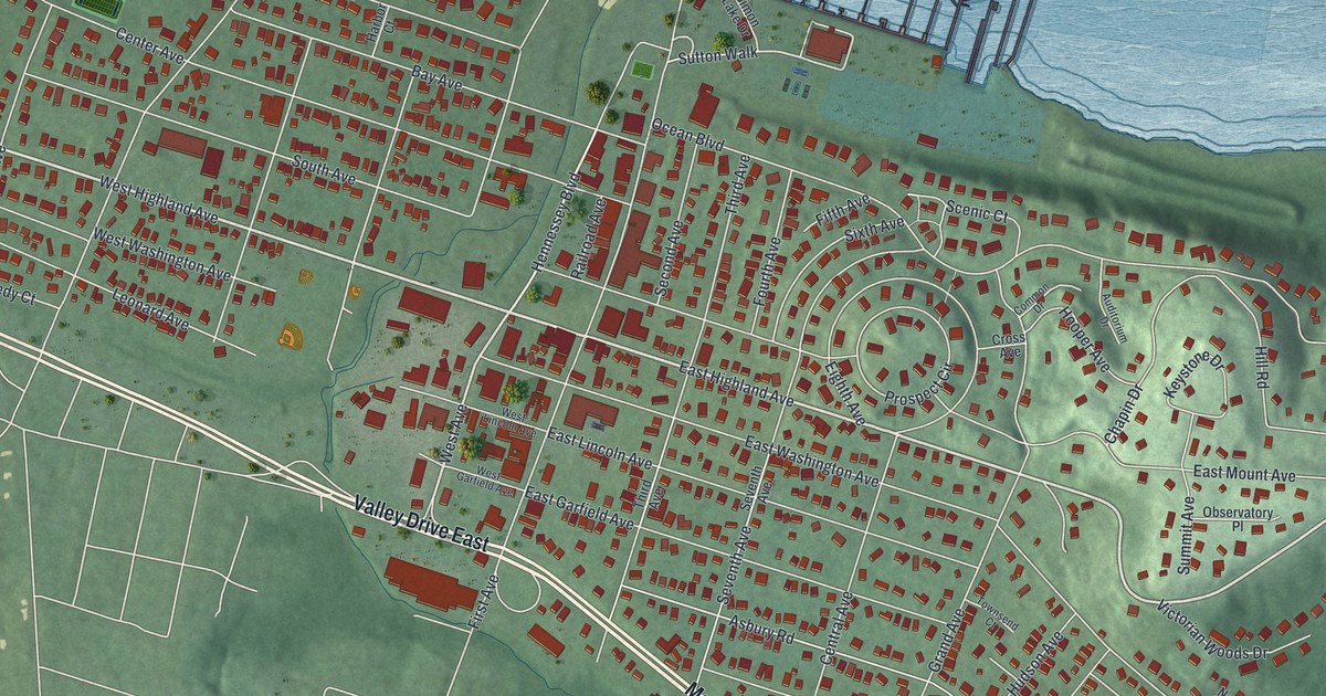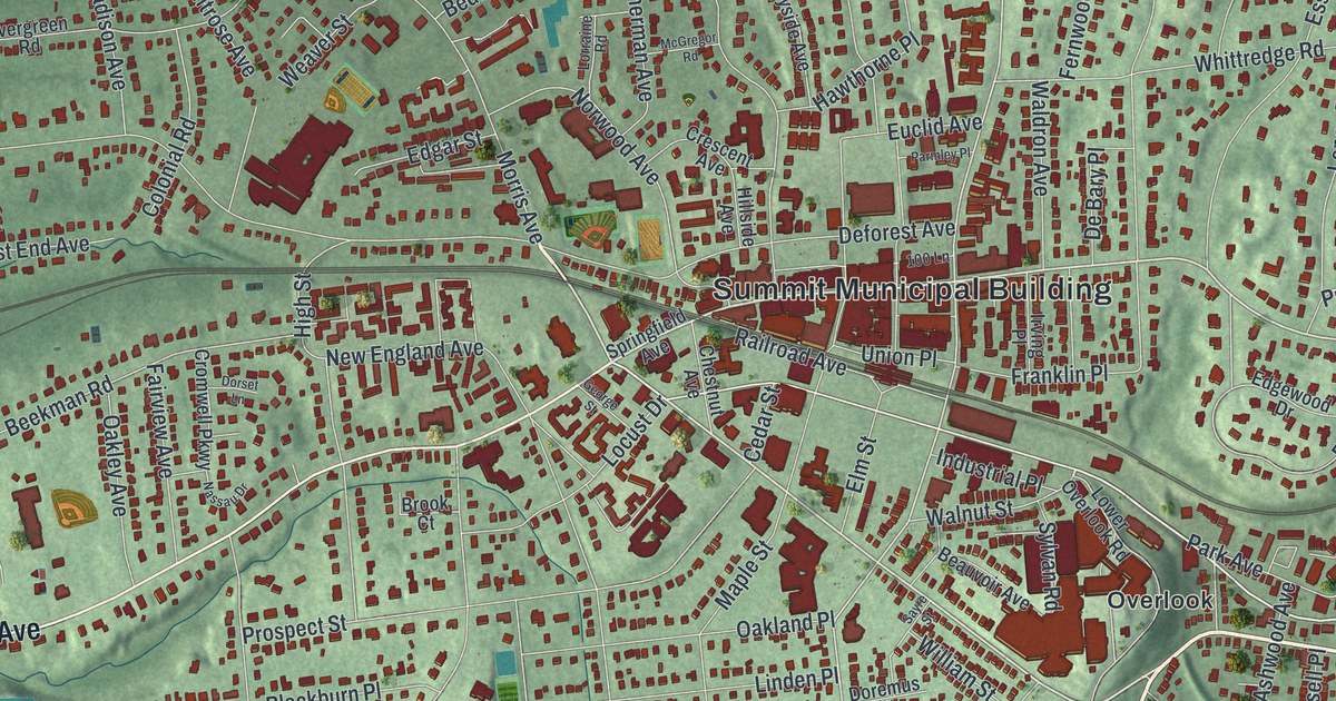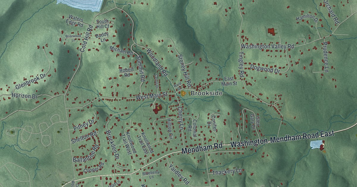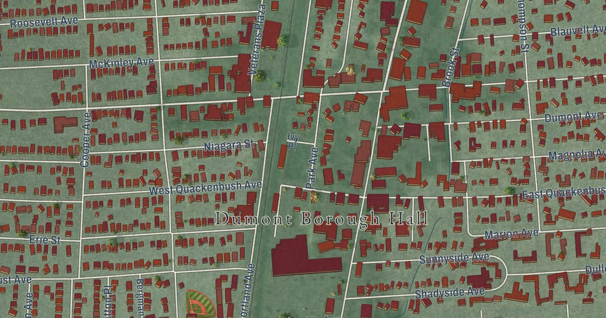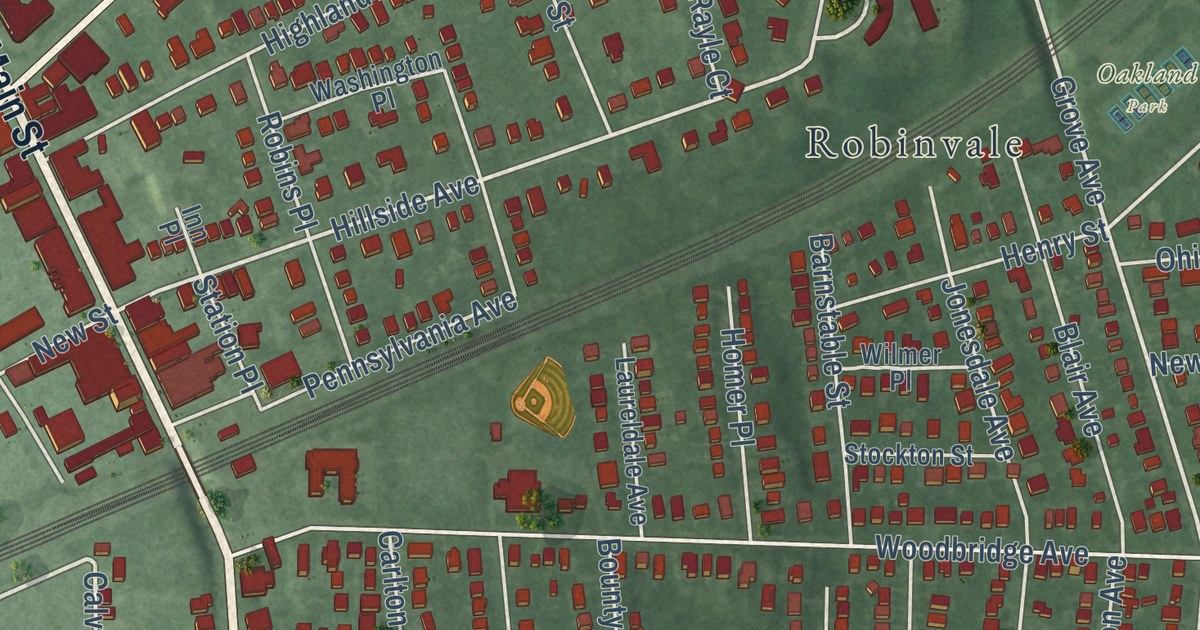
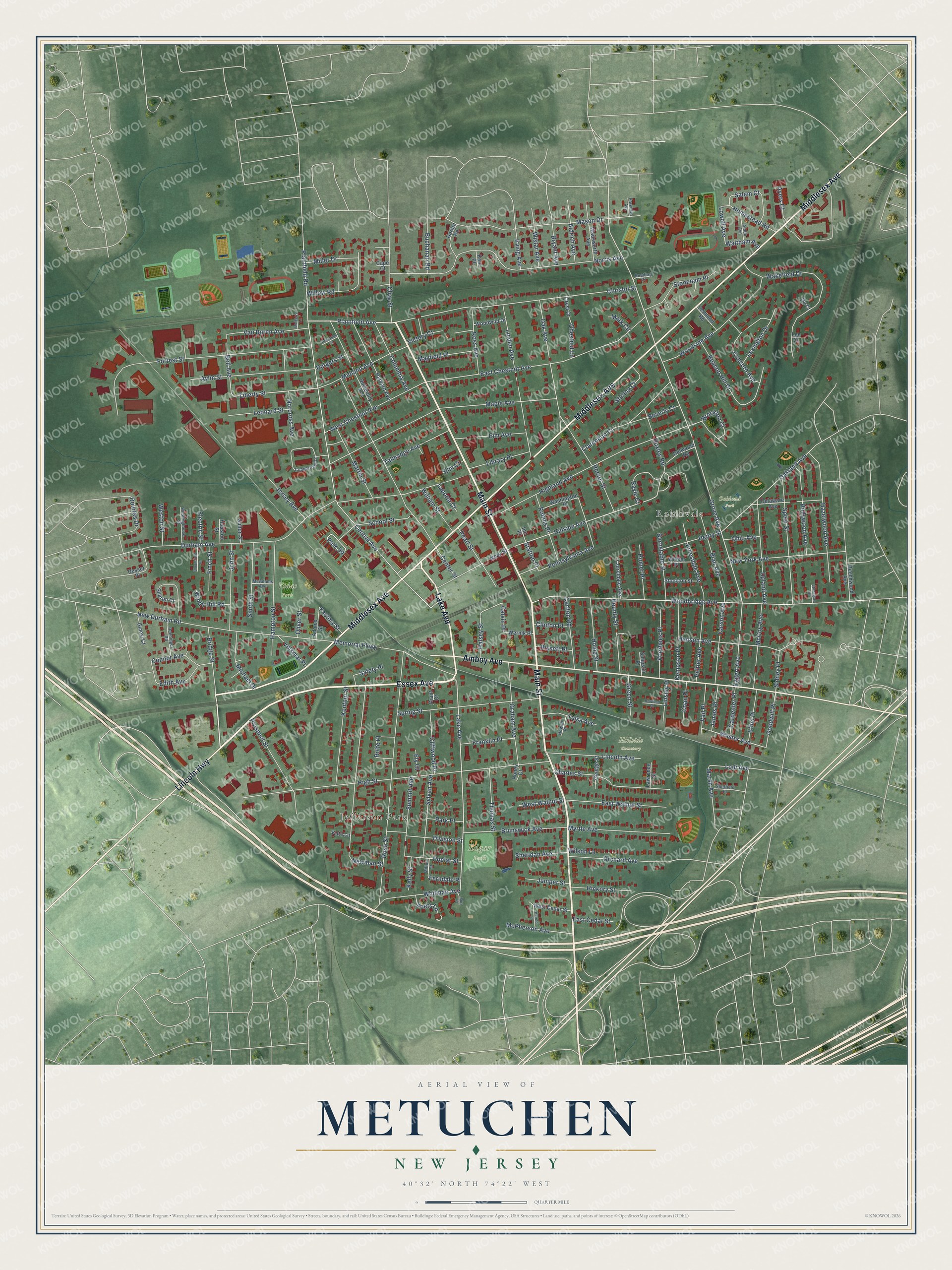
This beautifully detailed map of Metuchen, New Jersey was created in 2026 using aerial imagery combined with modern topographical, census, street and landmark data. It’s a one-of-a-kind view of Metuchen that combines accurate data with a vintage aesthetic. The map shows every building in its true location, many of the roads carry their names, and the shaded topographic relief shows the shape of the land.
Explore an aerial view of Metuchen, New Jersey
On the map you’ll find Jefferson Park, Robinvale, Hillside Cemetery, Oakland Park, Vidas Park, and Edgar Park, along with Main Street, Essex Avenue, Lake Avenue, Middlesex Avenue, Amboy Avenue, and more. If you look closely you can even find your house accurately drawn in its correct location. Zoom in on the preview to look for yours.
Did You Know?
Metuchen takes its name from a Native American chief. His name was spelled several ways, including Matouchin and Matochshegan. In 1646, a band of 1,200 warriors included Chief Matouchin. The name Metuchen first appeared in records in 1688 or 1689.
Take a closer look at the Metuchen map
Names on this map
These names are printed on this map.
Places: Hillside Cemetery, Oakland Park, Vidas Park, Edgar Park, Jefferson Park and Robinvale.
Streets and roads: Main Street, Essex Avenue, Lake Avenue, Middlesex Avenue, Amboy Avenue, Lincoln Highway, Bridge Street, Plainfield Avenue, Grove Avenue, Hillside Avenue, Oak Avenue, Liberty Street.
More street names, A to Z
Adams Street, Alden Avenue, Aldrich Avenue, Ayers Court, Aylin Street, Barnstable Street, Beacon Hill Drive, Beechwood Avenue, Bell Avenue, Beverly Court, Bissett Place, Blair Avenue, Bloomfield Drive, Bounty Street, Brockton Court, Brunswick Avenue, Bryant Avenue, Buchanan Road, Burr Court, Calvin Place, Cape Court, Carlton Road, Carpenter Place, Carson Avenue, Center Street, Central Avenue, Charles Street, Chestnut Lane, Christol Street, Clarendon Court, Cliffwood Place, Clinton Place, Clive Street, Coan Place, Columbia Avenue, Concord Avenue, Connor Avenue, Copperfield Lane, Crest Drive, Delaware Avenue, Dellwood Road, Desser Place, Division Street, Dolores Drive, Dorian Road, Durham Avenue, East Cedar Street, East Chestnut Avenue, East Walnut Street, Edith Avenue, Eggert Avenue, Electric Street, Elm Avenue, Elm Court, Ely Court, Ethel Place, Factory Street, Ferndale Place, Finch Street, Forrest Street, Franklin Place, George Street, Ginesi Court, Goodwill Place, Graham Avenue, Grant Court, Green Street, Gulton Street, Halsey Street, Hampton Street, Hanson Avenue, Harvard Avenue, Hazelwood Avenue, Henry Street, Herold Place, Hickory Street, Highland Avenue, High Street, Hollywood Avenue, Homer Place, Homestead Road, Home Street, Honey Court, Houston Street, Howell Place, Huxley Road, Inn Place, Irving Avenue, Ivy Court, James Place, Jersey Avenue, Jesmond Road, John Street, Jonesdale Avenue, Juniper Street, Kate Lane, Kelly Street, Kempson Place, Kentnor Street, Kent Place, Laporta Court, Laureldale Avenue, Lawrence Street, Lee Court, Leonard Street, Lexington Drive, Library Place, Lincoln Avenue, Linden Avenue, Linsley Place, Lodi Avenue, Lowell Avenue, Maple Avenue, Mark Circle, Marsh Avenue, Martin Street, Mason Drive, Mayfield Place, McAdams Avenue, McCoy Avenue, McPherson Avenue, Memorial Parkway, Michael Drive, Midland Avenue, Miller Drive, Milton Street, Mulberry Lane, Myrtle Avenue, New Durham Road, Newman Street, New Street, New York Avenue, Norcross Avenue, Norris Avenue, Oakland Avenue, Ohio Avenue, Oliver Street, Orchard Avenue, Parkman Avenue, Park Place, Park Square, Pearl Street, Peltier Avenue, Pennsylvania Avenue, Plainfield Road, Poets Lane, Poplar Street, Princeton Street, Prospect Street, Rayle Court, Reading Court, Rector Street, Renninger Road, Robins Place, Rolfe Place, Rose Street, Ross Avenue, Rowland Place, Rutgers Street, Safety Place, Salem Court, School Street, Sharon Court, Sheffield Place, Sheridan Avenue, Sidney Place, Simpson Place, Smith Street, Spear Street, Spring Street, Station Place, Stirling Court, Stockton Street, Stonegate Drive, Stoneham Place, Summit Avenue, Sylvan Avenue, Talmadge Avenue, Thomas Street, Tulsa Avenue, University Avenue, Upland Avenue, Vail Place, Van Buren Avenue, Victory Court, Volkmar Place, Voorhees Place, Wadsworth Avenue, Wakefield Drive, Waltham Avenue, Washington Place, Wernik Place, West Cedar Street, West Chestnut Avenue, Wester Avenue, Westinghouse Street, Weston Street, West Walnut Street, Whitman Avenue, William Street, Willow Road, Wilmer Place, Wilson Lane, Windy Hill Road, Wistar Avenue, Woodbridge Avenue, Woodside Avenue, Woodwild Drive.
See it on a wall
The Metuchen map as an 18 x 24 inch print in a black frame.

This beautifully detailed map of Metuchen makes an attractive addition to your office, library, or den, and it can even be used to teach children the geography and history of the area. It also makes a great gift for someone who left Metuchen and still calls it home. When you’re done exploring, click here to get your copy of the Metuchen map.