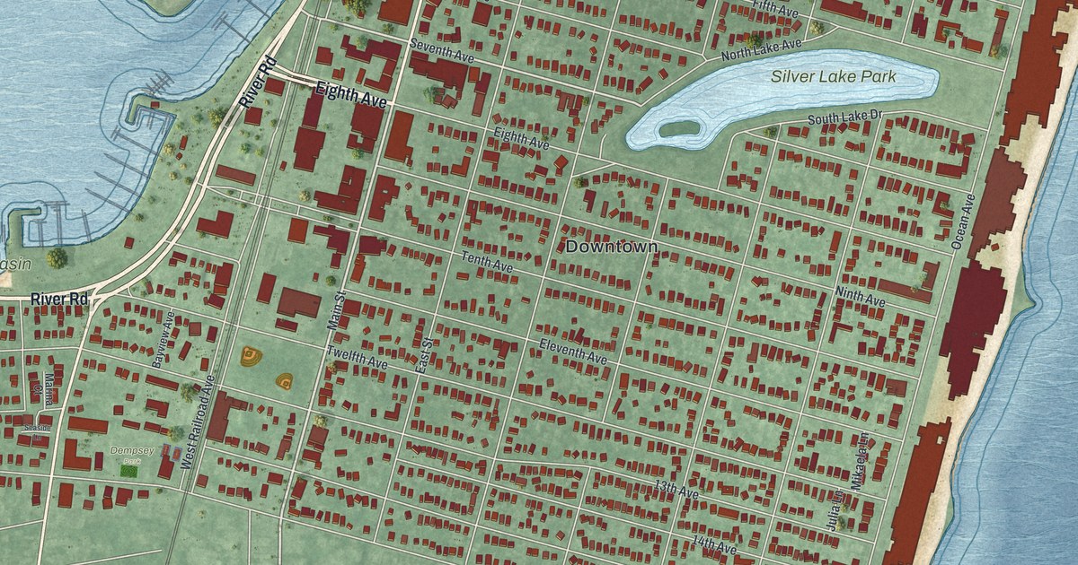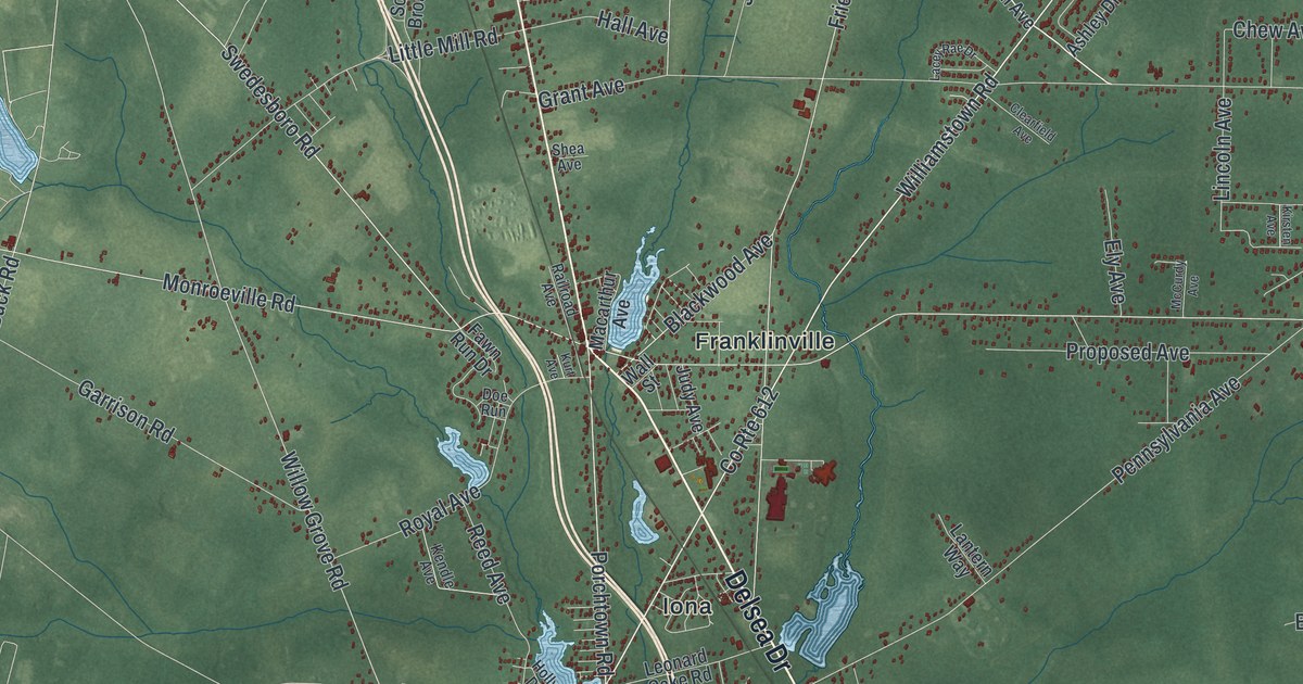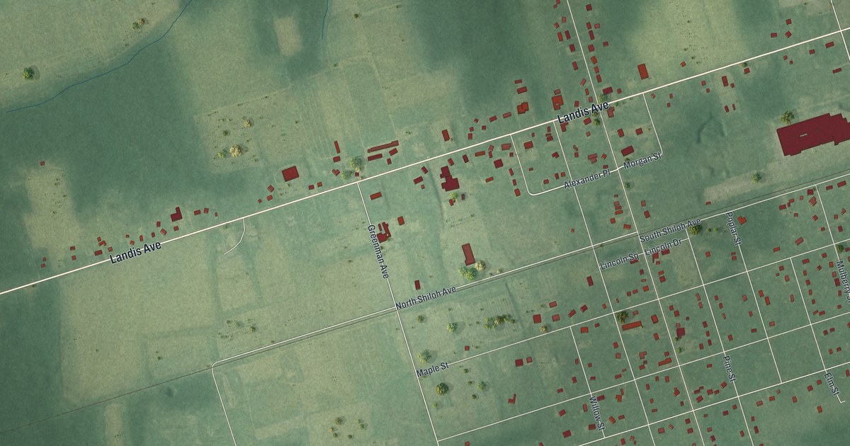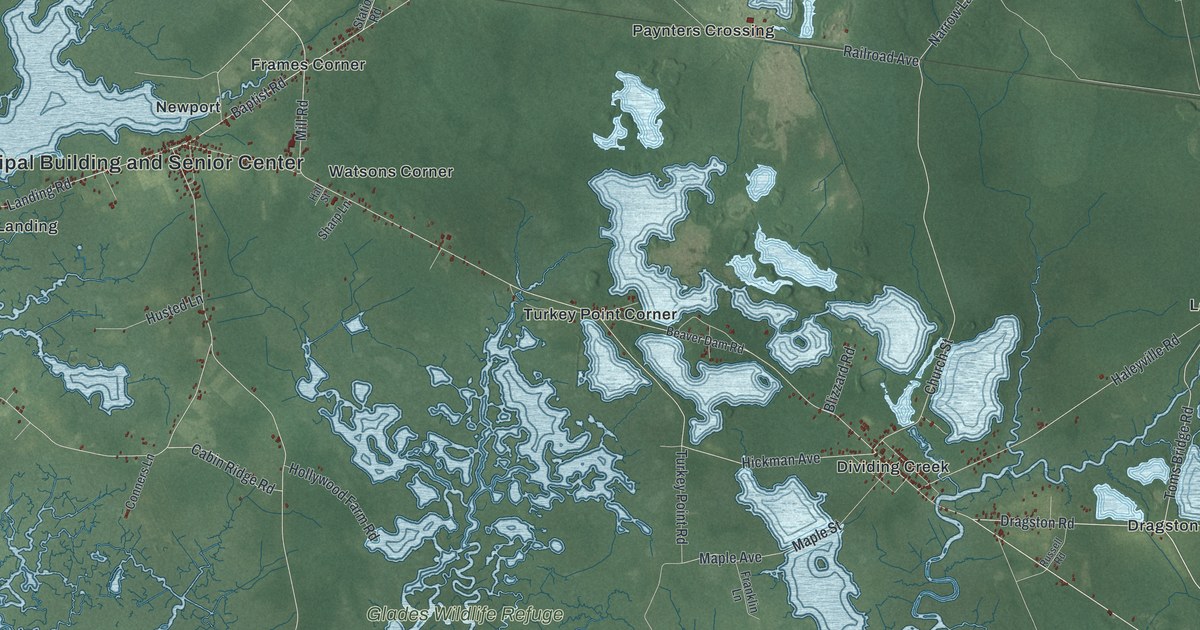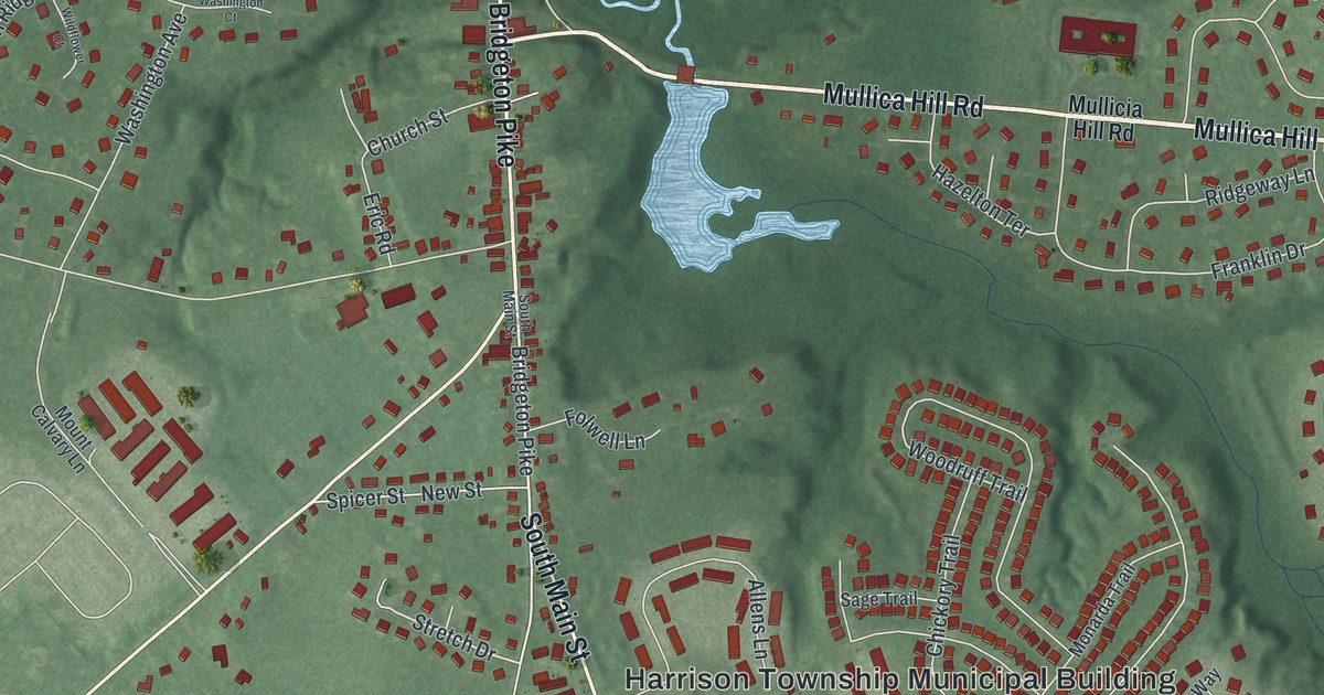
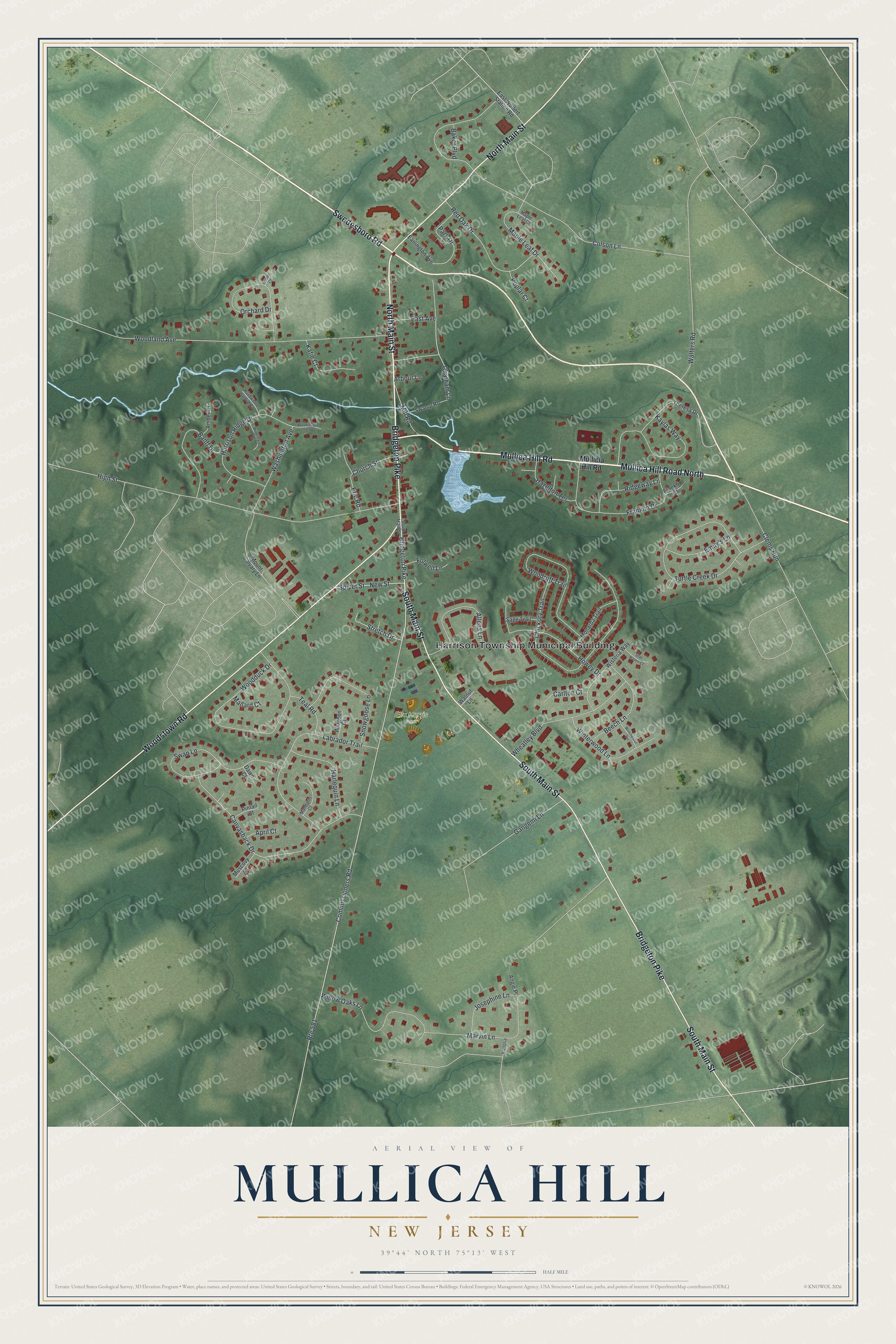
This beautifully detailed map of Mullica Hill, New Jersey was created in 2026 using aerial imagery combined with modern topographical, census, street and landmark data. It's a modern aerial view of Mullica Hill in Gloucester County, New Jersey, that combines modern data with a vintage aesthetic. The roads feature printed names, and if you look closely you can find your exact house accurately shown in its correct location.
Explore an aerial view of Mullica Hill, New Jersey
On this map you'll find Harrison Township Municipal Building, Ella Harris Park, Mullica Hill Road, Mullica Hill Road North, Swedesboro Road, South Main Street, Bridgeton Pike, Woodstown Road, North Main Street, Chatham Lane, Stretch Drive, Commissioners Road, and more. Each red shape is a building, so zoom in on the preview and look for yours.
Mullica Hill is a community in Gloucester County. The Census Bureau counted 4,698 people here in 2020. Mullica Hill sits about 2 miles west of Richwood, 4 miles northeast of Harrisonville and 4 miles west of Pitman. The map prints the town name in its title panel, with the coordinates below it.
Take a closer look at the Mullica Hill map
Names on this map
These names are printed on this map.
Places: Harrison Township Municipal Building and Ella Harris Park.
Streets and roads: Mullica Hill Road, Mullica Hill Road North, Swedesboro Road, South Main Street, Bridgeton Pike, Woodstown Road, North Main Street, Chatham Lane, Stretch Drive, Route 581, Commissioners Road, Colson Lane.
More street names, A to Z
Allens Lane, Amber Court, Angie Place, April Court, Arbour Lane, Ashley Court, Baker Boulevard, Banff Drive, Beech Lane, Canvasback Drive, Carlton Court, Chickory Trail, Church Street, Clems Run, Dawn Court, Earlington Avenue, East Avenue, East Wolfert Station Road, Emily's Lane, Eric Road, Folwell Lane, Franklin Court, Franklin Drive, Gangemi Lane, Hardwood Grove Court, Harlequin Lane, Harrison Ridge Drive, Hazelton Terrace, High Street, Howey Drive, Josephine Lane, Katie Court, Kaylas Way, Labrador Trail, Mallard Court, Mandarin Court, Maple Leaf Court, Maple Leaf Drive, Marvin Lane, Mill Road, Monarda Trail, Mount Calvary Lane, Mullicia Hill Road, Muscovy Court, New Street, Orchard Drive, Park Drive, Pintail Court, Poplar Court, Red Oak Drive, Ridgeway Lane, Sage Trail, Snowgoose Lane, Spicer Street, Star Haven Court, Swamp Road, Swan Lane, Teal Road, Theresa Drive, Turtle Creek Drive, Victoria, Walnut Lane, Walters Road, Washington Avenue, Washington Court, Wheatley Boulevard, Widgeon Court, Wildflower Court, Willow Oaks Lane, Winchester Terrace, Winterwood Lane, Wisteria Way, Woodduck Drive, Woodland Avenue, Woodruff Trail.
See it on a wall
The Mullica Hill map as a framed print. Swipe for more.


Created by KNOWOL in 2026. The buildings are small red shapes, the roads carry their printed names, and shaded relief shows the shape of the land. The title panel reads "AERIAL VIEW OF MULLICA HILL, NEW JERSEY" with 39°44' NORTH 75°13' WEST.
It suits a den, a classroom or a front hall, and it makes a gift for anyone with Mullica Hill roots. Open the preview and find the block you know. See sizes and frames for the Mullica Hill map.