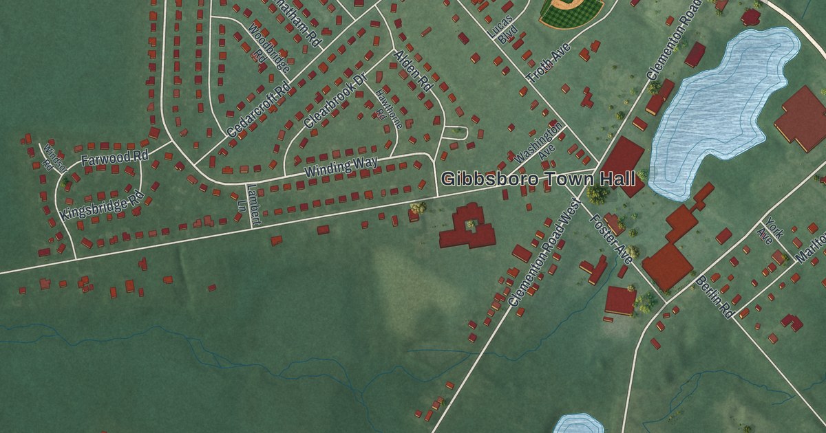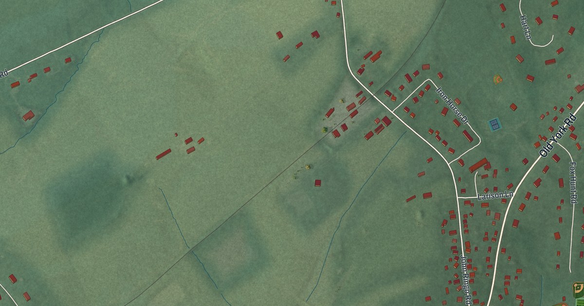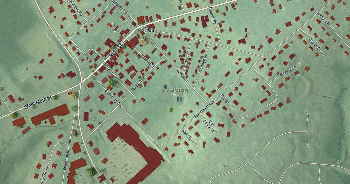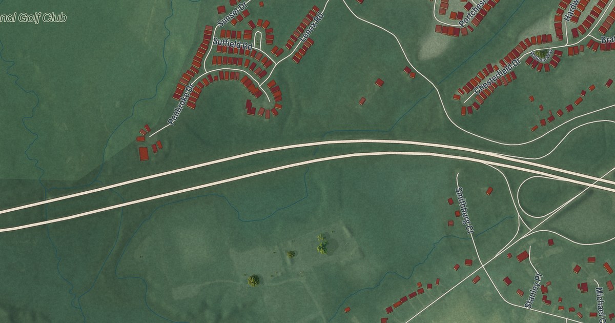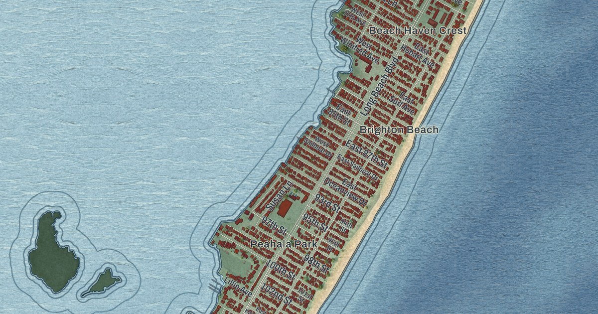
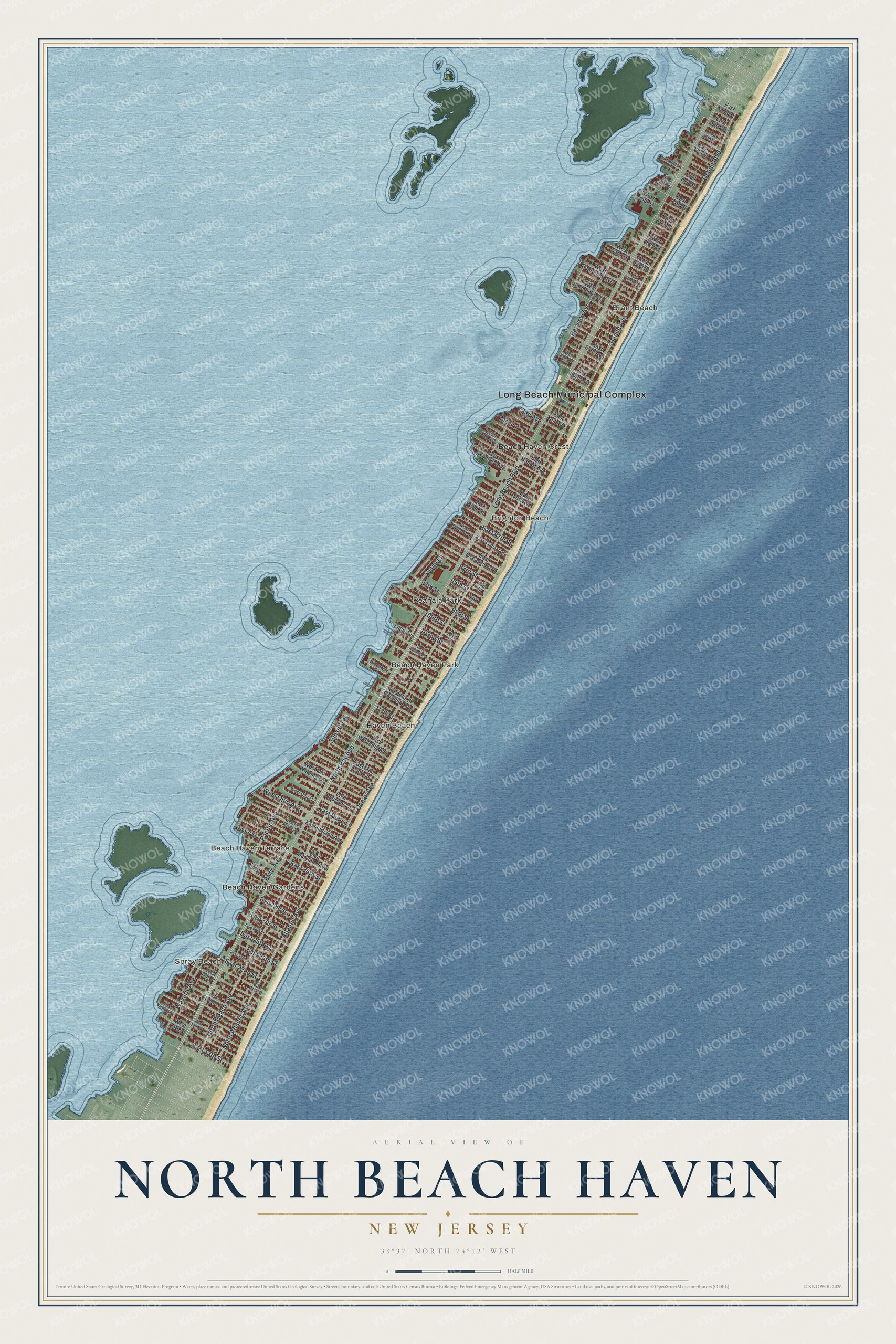
This beautifully detailed map of North Beach Haven, New Jersey was created in 2026 using aerial imagery combined with modern topographical, census, street and landmark data. It's a modern aerial view of North Beach Haven in Ocean County, New Jersey, that combines modern data with a vintage aesthetic. The roads feature printed names, and if you look closely you can find your exact house accurately shown in its correct location.
Explore an aerial view of North Beach Haven, New Jersey
On this map you'll find Long Beach Municipal Complex, Spray Beach, Beach Haven Gardens, Brant Beach, Beach Haven Terrace, Beach Haven Crest, Haven Beach, Beach Haven Park, Brighton Beach, Peahala Park, Ocean Avenue, Waverly Avenue, and more. Each red shape is a building, so zoom in on the preview and look for yours.
North Beach Haven is a community in Ocean County. The Census Bureau counted 2,198 people here in 2020. North Beach Haven sits about 3 miles southwest of Ship Bottom, 5 miles southwest of Surf City and 5 miles south of Beach Haven West. The map prints the town name in its title panel, with the coordinates below it.
Take a closer look at the North Beach Haven map
Names on this map
These names are printed on this map.
Places: Long Beach Municipal Complex, Spray Beach, Beach Haven Gardens, Brant Beach, Beach Haven Terrace, Beach Haven Crest, Haven Beach, Beach Haven Park, Brighton Beach and Peahala Park.
Streets and roads: Ocean Avenue, Waverly Avenue, North Bay Avenue, Long Beach Boulevard, Beach Avenue, Ocean Boulevard, North Beach Avenue, Atlantic Avenue, North Atlantic Avenue, Bayview Avenue, 100th Street, East 34th Street.
More street names, A to Z
72nd Avenue, 93rd Street, 94th Street, 95th Street, 96th Street, 97th Street, 98th Street, 101st Street, 102nd Street, 113th Street, 133rd Street, Baltic Avenue, East 13th Street, East 15th Street, East 18th Street, East 21st Street, East 22nd Street, East 23rd Street, East 24th Street, East 25th Street, East 26th Street, East 27th Street, East 29th Street, East 31st Street, East 33rd Street, East 35th Street, East 37th Street, East 41st Street, East 44th Street, East 47th Street, East 50th Street, East 53rd Street, East 63th Avenue, East 66th Avenue, East 71st Avenue, East 85th Street, East 87th Street, East Dune Lane, East Hobart Avenue, East Indiana Avenue, East Kansas Avenue, East Kirkland Street, East Mac Evoy Lane, East Maryland Avenue, East North Carolina Avenue, East Oceanview Drive, East Ryerson Lane, East Sailboat Drive, East Surf Avenue, East Wyoming Avenue, Hideaway Court, Hodgson Lane, Lillie Avenue, Mea Lane, Pacific Avenue, Sunset Terrace, Susan Lane, West 14th Street, West 15th Street, West 20th Street, West 32nd Street, West 43rd Street, West 45th Street, West 53rd Street, West 65th Avenue, West 77th Avenue, West Beardsley Avenue, West Dune Lane, West Harmony Avenue, West New Jersey Avenue, West Ohio Avenue, West Old Whaling Lane, West Sailboat Drive, West Winifred Avenue.
See it on a wall
The North Beach Haven map as a framed print. Swipe for more.


Created by KNOWOL in 2026. The buildings are small red shapes, the roads carry their printed names, and shaded relief shows the shape of the land. The title panel reads "AERIAL VIEW OF NORTH BEACH HAVEN, NEW JERSEY" with 39°37' NORTH 74°12' WEST.
It suits a den, a classroom or a front hall, and it makes a gift for anyone with North Beach Haven roots. Open the preview and find the block you know. See sizes and frames for the North Beach Haven map.