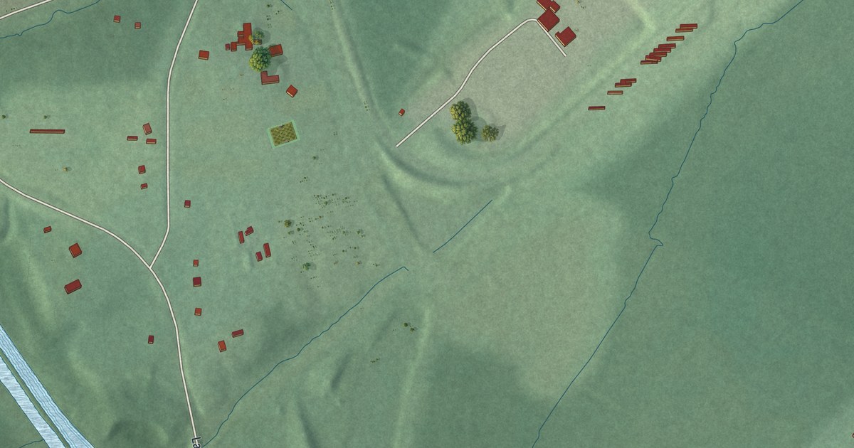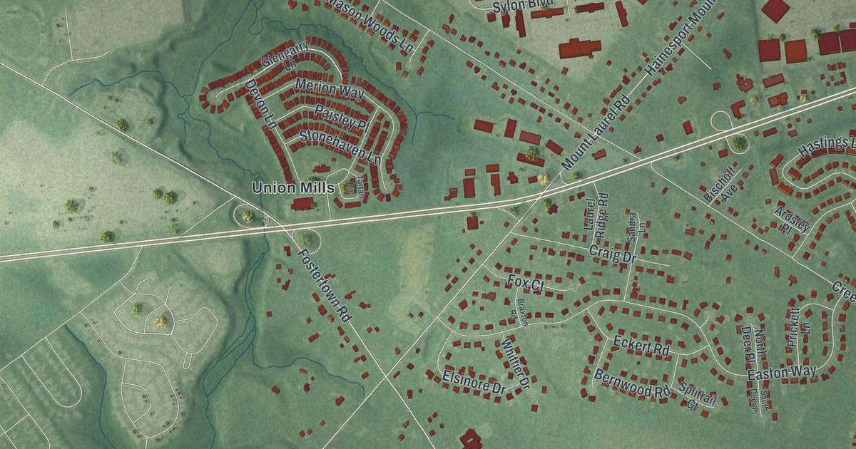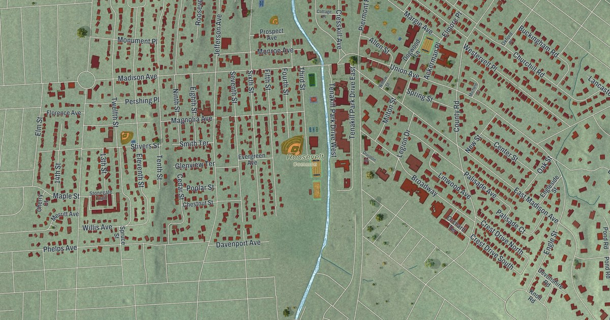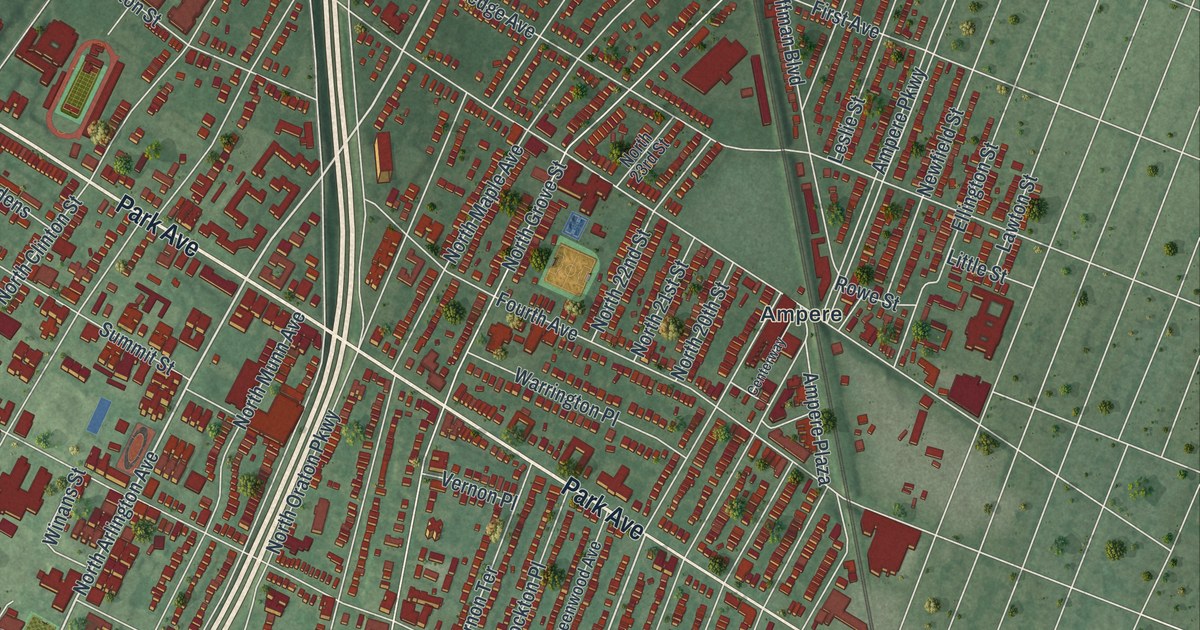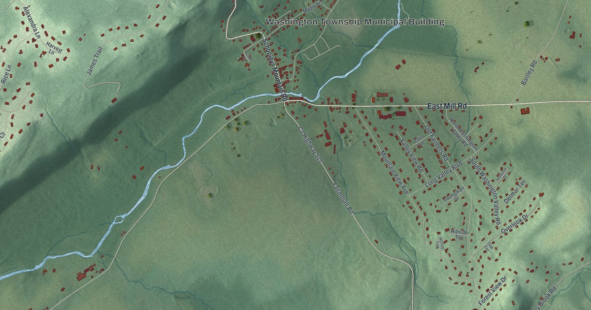
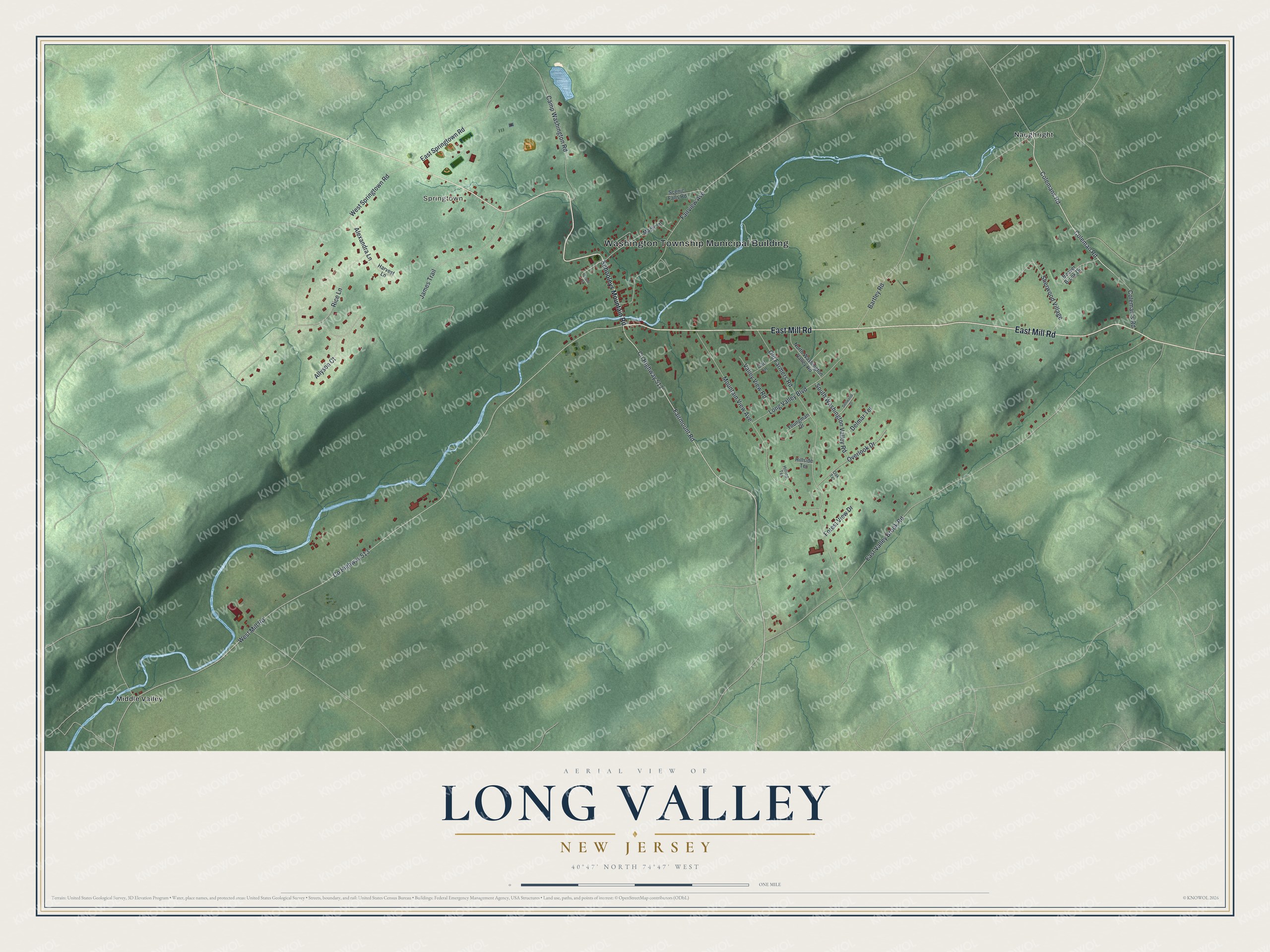
This beautifully detailed map of Long Valley, New Jersey was created in 2026 using aerial imagery combined with modern topographical, census, street and landmark data. It's a modern aerial view of Long Valley in Morris County, New Jersey, that combines modern data with a vintage aesthetic. The roads feature printed names, and if you look closely you can find your exact house accurately shown in its correct location.
Explore an aerial view of Long Valley, New Jersey
On this map you'll find Washington Township Municipal Building, Springtown, Middle Valley, Naughright, East Mill Road, Co Highway 517, Colemans Road, Coleman Road, Co Highway 513, West Mill Road, East Valley Brook Road, Fairmount Road, and more. Each red shape is a building, so zoom in on the preview and look for yours.
Long Valley has a story worth telling. Long Valley was settled in the 1700s by immigrants from Saxony, Germany, and for generations it was known as Dutch Valley and then German Valley. During the First World War the residents chose to change the name to Long Valley, which is what the Lenni Lenape had called the area. Albert Einstein used to come to the Long Valley Inn, already standing during the Revolutionary War, for Sunday chicken dinners. That's from the Washington Township Historical Society.
Long Valley is a community in Morris County. The Census Bureau counted 1,827 people here in 2020.
Take a closer look at the Long Valley map
Names on this map
These names are printed on this map.
Places: Washington Township Municipal Building, Springtown, Middle Valley and Naughright.
Streets and roads: East Mill Road, County Highway 517, Colemans Road, Coleman Road, County Highway 513, West Mill Road, East Valley Brook Road, Fairmount Road, West Springtown Road, Old Farmers Road, Bartley Road, Mountain View Avenue.
More street names, A to Z
Alexandra Lane, Allyson Court, Beaver Brook Drive, Camp Washington Road, Carl Lane, Coleman's Road, Dellwood Drive, Delmar Terrace, East Springtown Road, Fairview Avenue, Forest View Drive, Grove Street, Harvest Lane, Hillside Terrace, Hilltop Terrace, James Trail, Long Valley Boulevard, Maple Lane, North Washington Valley Road, Oak Terrace, Overlook Drive, Rice Lane, Scenic Falls Road, Schooleys Mountain Road, Sherwood Village, South Washington Valley Road, Valley View Road, Youngman Drive.
See it on a wall
The Long Valley map as a framed print. Swipe for more.


Created by KNOWOL in 2026. The buildings are small red shapes, the roads carry their printed names, and shaded relief shows the shape of the land. The title panel reads "AERIAL VIEW OF LONG VALLEY, NEW JERSEY" with 40°47' NORTH 74°47' WEST.
It looks right in a kitchen, an office or a den, and it's a gift for anyone who grew up in Long Valley or moved away. Open the preview and find your street. See sizes and frames for the Long Valley map.