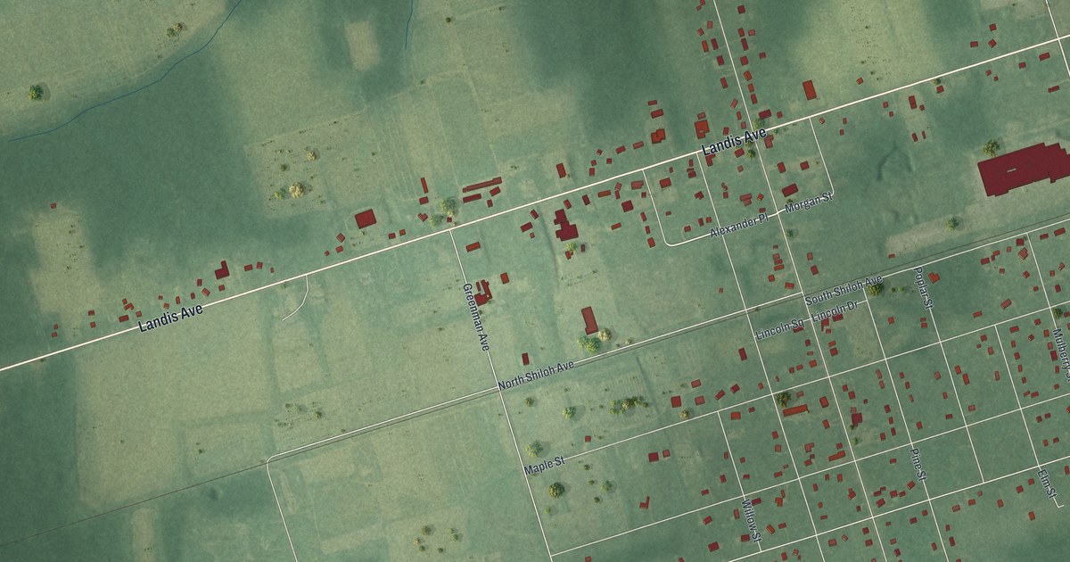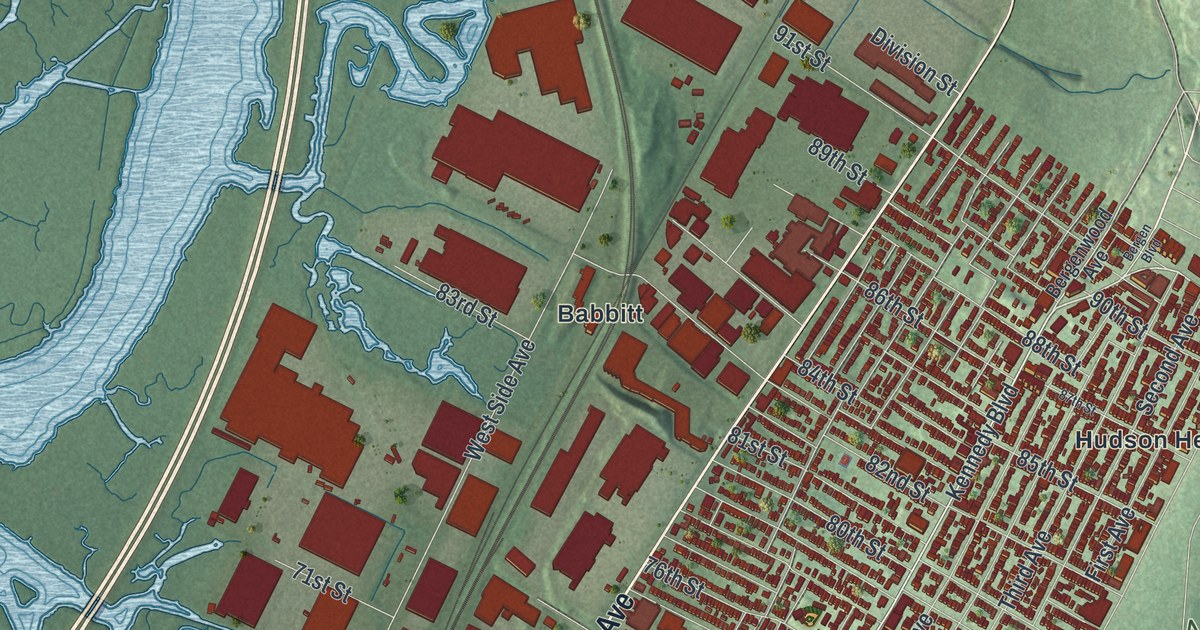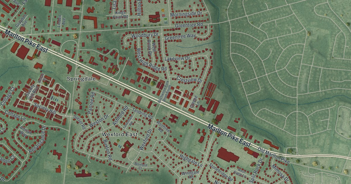
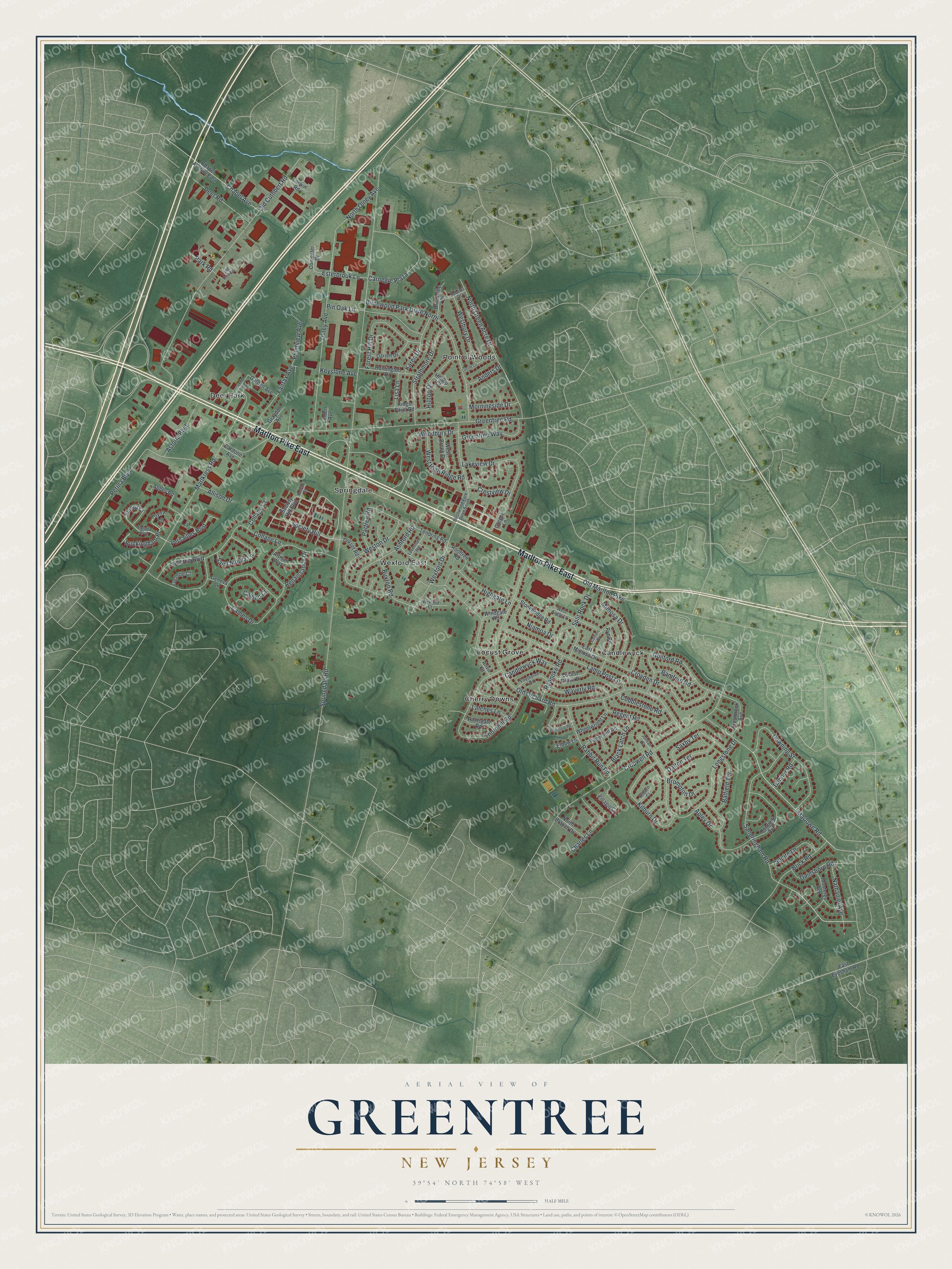
This beautifully detailed map of Greentree, New Jersey was created in 2026 using aerial imagery combined with modern topographical, census, street and landmark data. It's a modern aerial view of Greentree in Camden County, New Jersey, that combines modern data with a vintage aesthetic. The roads feature printed names, and if you look closely you can find your exact house accurately shown in its correct location.
Explore an aerial view of Greentree, New Jersey
On this map you'll find Springdale, Point of Woods, Cherry Downs, Candlewyck, Deer Park, Wexford East, Locust Grove, Marlton Pike East, Sandringham Road, Marlowe Road, Springdale Road, Old Orchard Road, and more. Each red shape is a building, so zoom in on the preview and look for yours.
Greentree has a story worth telling. Samuel Coles II bought 268 acres from John Estaugh of Newton, now Audubon, and built a brick house there, known today as the Samuel Coles House on Old Cuthbert Road. For a time in the 1800s its large cellar served as a local jail. That's from the National Register of Historic Places.
Greentree is a community in Camden County. The Census Bureau counted 12,012 people here in 2020.
Take a closer look at the Greentree map
Names on this map
These names are printed on this map.
Places: Springdale, Point of Woods, Cherry Downs, Candlewyck, Deer Park, Wexford East and Locust Grove.
Streets and roads: Marlton Pike East, Sandringham Road, Marlowe Road, Springdale Road, Old Orchard Road, Greentree Road, Old Cuthbert Road, Cropwell Road, Marlkress Road, Birchwood Park Drive North, Longstone Drive, Society Hill.
More street names, A to Z
Abbey Road, Allison Drive, Anders Drive, Anvil Court, Apley Drive, Artisan Way, Ashford Road, Astoria Boulevard, Balfield Terrace, Bamford Road, Banner Road, Birchwood Park Drive South, Black Latch Lane, Brick Road, Brompton Drive, Brookville Drive, Buckingham Place, Buxton Road, Cameo Court, Cameo Drive, Candlewyck Way, Cardone Avenue, Carnegie Plaza, Chapel Avenue, Chapel Avenue East, Charles Lane, Cobblestone Road, Collage Court, Collage Lane, Collins Drive, Computer Drive, Crestbrook Avenue, Crestview Drive, Croyden Drive, Dalton Terrace, Darien Drive, Deer Road, Delran Street, Dorset Road, Downing Street, Drive, East Evesham Road, East Mimosa Drive, Elbow Lane, Esterbrook Lane, Europa Boulevard, Europa Court, Fairfax Avenue, Firethorne Road, Forest Hill Drive, Gainsboro Road, Garden Avenue, Geneva Lane, Graydon Avenue, Greene Lane, Greentree Way, Guilford Road, Henfield Avenue, Highgate Lane, Hilltop Court, Hilltop Drive, Huntington Drive, Jordan Court, Karen Drive, Keystone Avenue, Kilburn Court, Kilburn Drive, Kings Point Road, Lakeview Drive, Lamp Post Lane, Larwin Road, Latches Lane, Lavenham Road, Linden Avenue, Lisa Lane, Locust Grove Drive, Lone Tree Drive, Lucerne Boulevard, Lucerne Court, Lucille Lane, Mimosa Drive, Monterey Avenue, Morningside Drive, Nathaniel Avenue, Niamoa Drive, North Branch Drive, North Green Acre Drive, North Olney Avenue, Old Marlton Pike, Olney Avenue, Papermill Road, Park Road, Partree Road, Perina Boulevard, Pin Oak Lane, Pointview Avenue, Rabbit Run Road, Ramsgate Road, Regent Road, Renaissance Drive, Roanoke Road, Roberts Drive, Rockhill Road, Rooftree Road, Rye Road, Saint Moritz Lane, Saxby Terrace, Scattergood Road, Society Hill Boulevard, Split Rock Drive, Squire Lane, Stonebridge Road, Strathmore Drive, Tendring Road, Thornhill Road, Tuvira Lane, Versailles Boulevard, Villagio Court, Waverly Road, West Brook Drive, Westbury Drive, West Eagle Lane, West High Ridge Road, Weston Drive, Wexford Court, Wexford Drive, Wheelwright Lane, Windgate Road, Woodbury Drive.
See it on a wall
The Greentree map as a framed print. Swipe for more.


Created by KNOWOL in 2026. The buildings are small red shapes, the roads carry their printed names, and shaded relief shows the shape of the land. The title panel reads "AERIAL VIEW OF GREENTREE, NEW JERSEY" with 39°54' NORTH 74°58' WEST.
It looks right in a kitchen, an office or a den, and it's a gift for anyone who grew up in Greentree or moved away. Open the preview and find your street. See sizes and frames for the Greentree map.