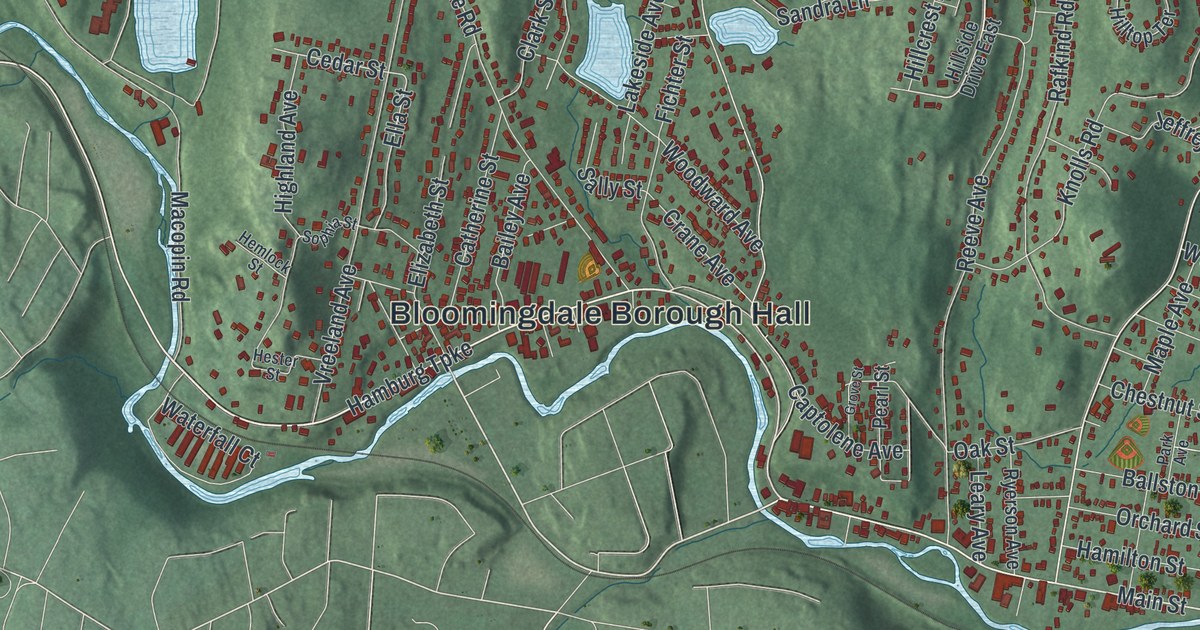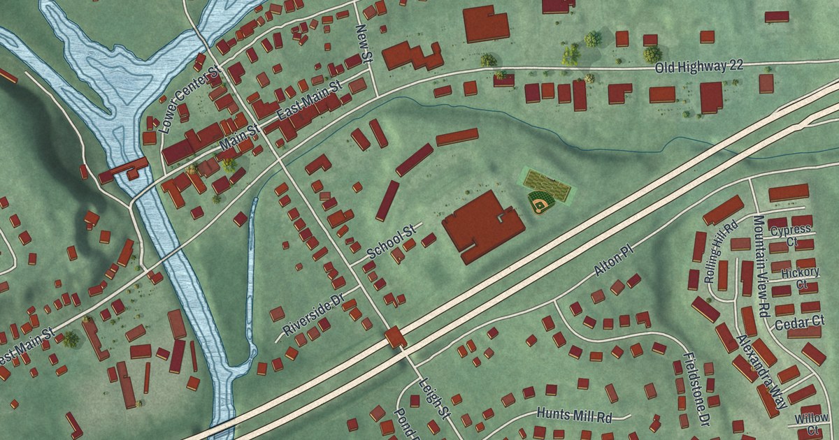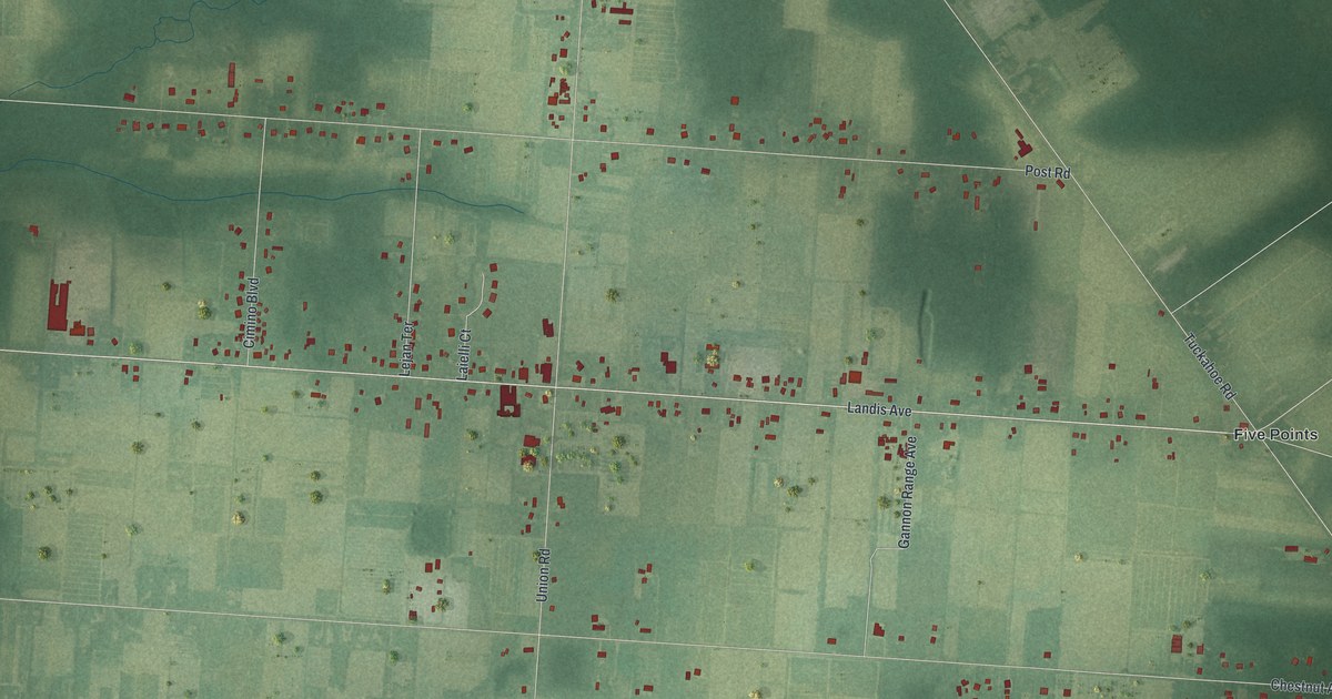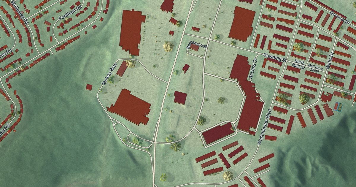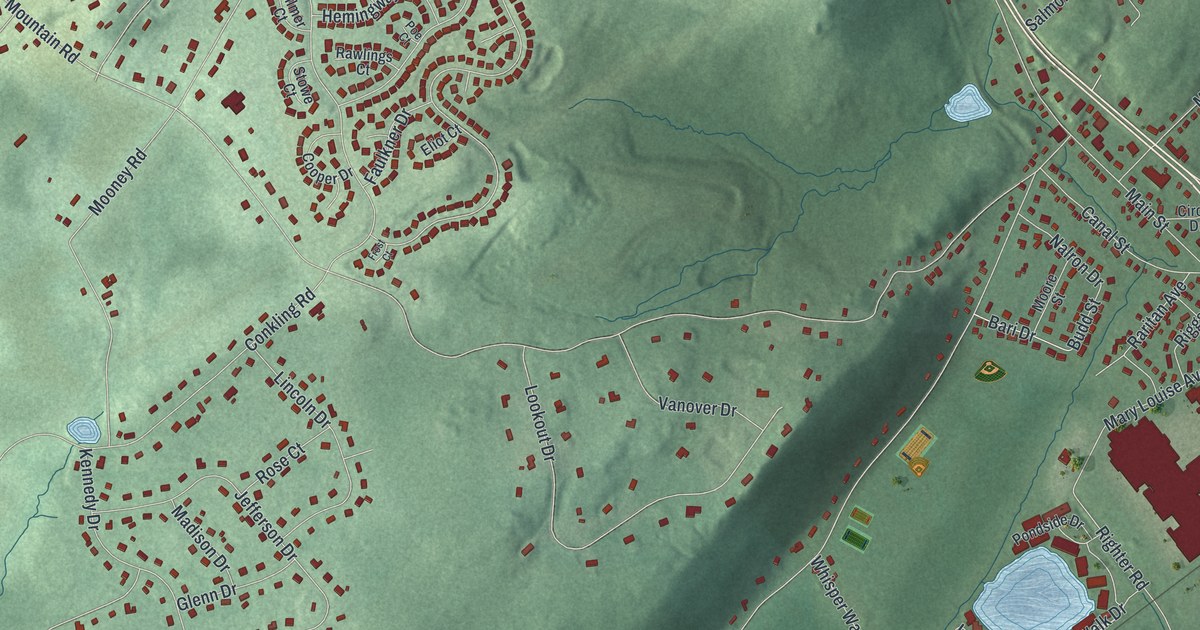
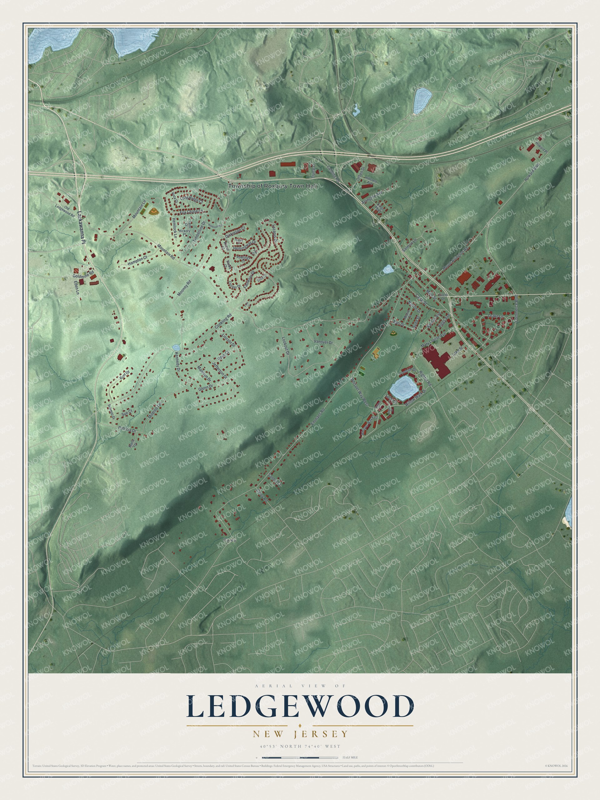
This beautifully detailed map of Ledgewood, New Jersey was created in 2026 using aerial imagery combined with modern topographical, census, street and landmark data. It's a modern aerial view of Ledgewood in Morris County, New Jersey, that combines modern data with a vintage aesthetic. The roads feature printed names, and if you look closely you can find your exact house accurately shown in its correct location.
Explore an aerial view of Ledgewood, New Jersey
On this map you'll find Township of Roxbury Town Hall, Carey, Lackawanna Place, Willow Walk Drive, Landing Road, Main Street, Drake Lane, Mountain Road, Emmans Road, Mooney Road, Lazarus Drive, Howard Boulevard, and more. Each red shape is a building, so zoom in on the preview and look for yours.
Ledgewood has a story worth telling. Ledgewood was known as New Market before 1850 and as Drakesville from 1850 to 1891. The first spade of dirt for the Morris Canal was turned here on July 25, 1825, and the canal's Plane 2E was built right across from the village store. King Store, built around 1815, is one of the best preserved early general stores left in New Jersey, and for many years it also held the post office. That's from the National Register of Historic Places.
Ledgewood is a community in Morris County. The Census Bureau counted 4,903 people here in 2020.
Take a closer look at the Ledgewood map
Names on this map
These names are printed on this map.
Places: Township of Roxbury Town Hall and Carey.
Streets and roads: Lackawanna Place, Willow Walk Drive, Landing Road, Main Street, Drake Lane, Mountain Road, Emmans Road, Mooney Road, Lazarus Drive, Howard Boulevard, Conkling Road, Fox Chase Lane.
More street names, A to Z
Arlington Avenue, Autumn Court, Bari Drive, Budd Street, Bukiet Court, Canal Street, Carey Road, Circle Drive, Commerce Boulevard, Cooper Drive, Crystal Court, Dickinson Court, Eden Lane, Eliot Court, Faulkner Drive, Fern Court, Frost Court, Glenn Drive, Goldmine Road, Hampton Court, Hemingway Drive, Hemlock Lane, Hickory Place, Hillcrest Avenue, Howard Place, Jefferson Drive, Kennedy Drive, Kilmer Court, Kings Parkway, Kurt Drive, Lake Street, Lincoln Drive, Loch Lane, Long Ridge Court, Lookout Drive, Madison Drive, Marla Terrace, Mary Louise Avenue, Mildred Terrace, Moore Street, Mountain Lane, Mount Arlington Road, Nalron Drive, Old Ledgewood Road, Orben Drive, Pasture Court, Patricia Drive, Poe Court, Pondside Drive, Raritan Avenue, Rawlings Court, Redwood Way, Riggs Avenue, Righter Road, Rose Court, Salmon Lane, Sandra Court, Schmitz Drive, Stowe Court, Sue Court, Timberline Drive, Vanover Drive, Vista Court, Whisper Way East, Whisper Way West.
See it on a wall
The Ledgewood map as a framed print. Swipe for more.


Created by KNOWOL in 2026. The buildings are small red shapes, the roads carry their printed names, and shaded relief shows the shape of the land. The title panel reads "AERIAL VIEW OF LEDGEWOOD, NEW JERSEY" with 40°53' NORTH 74°40' WEST.
It looks right in a kitchen, an office or a den, and it's a gift for anyone who grew up in Ledgewood or moved away. Open the preview and find your street. See sizes and frames for the Ledgewood map.