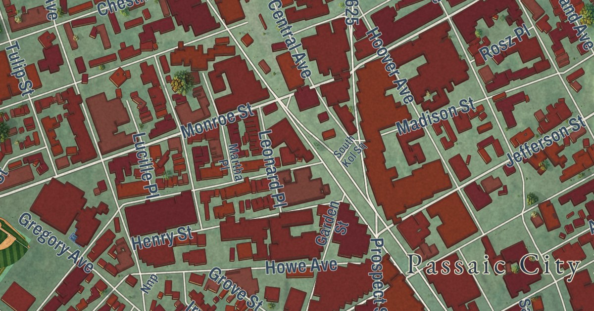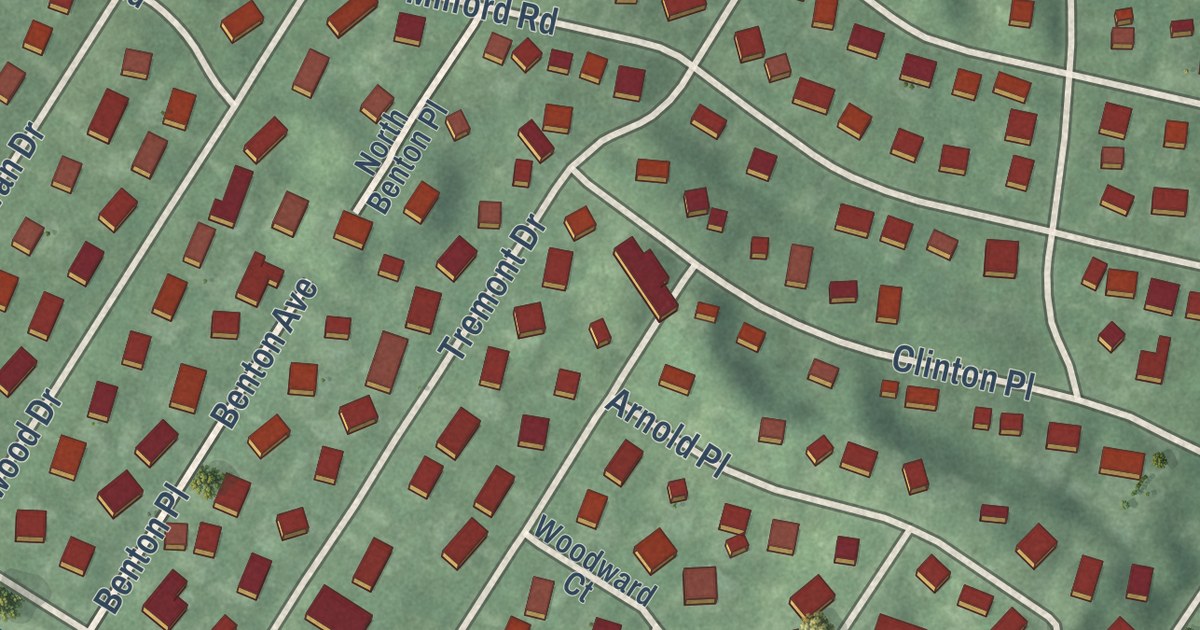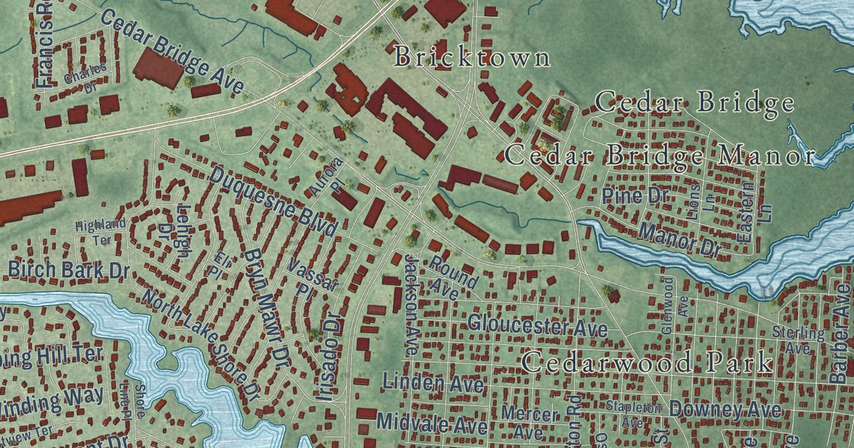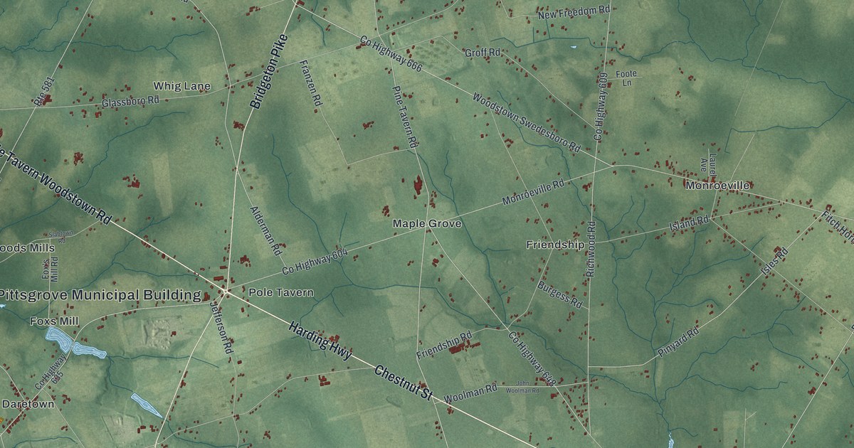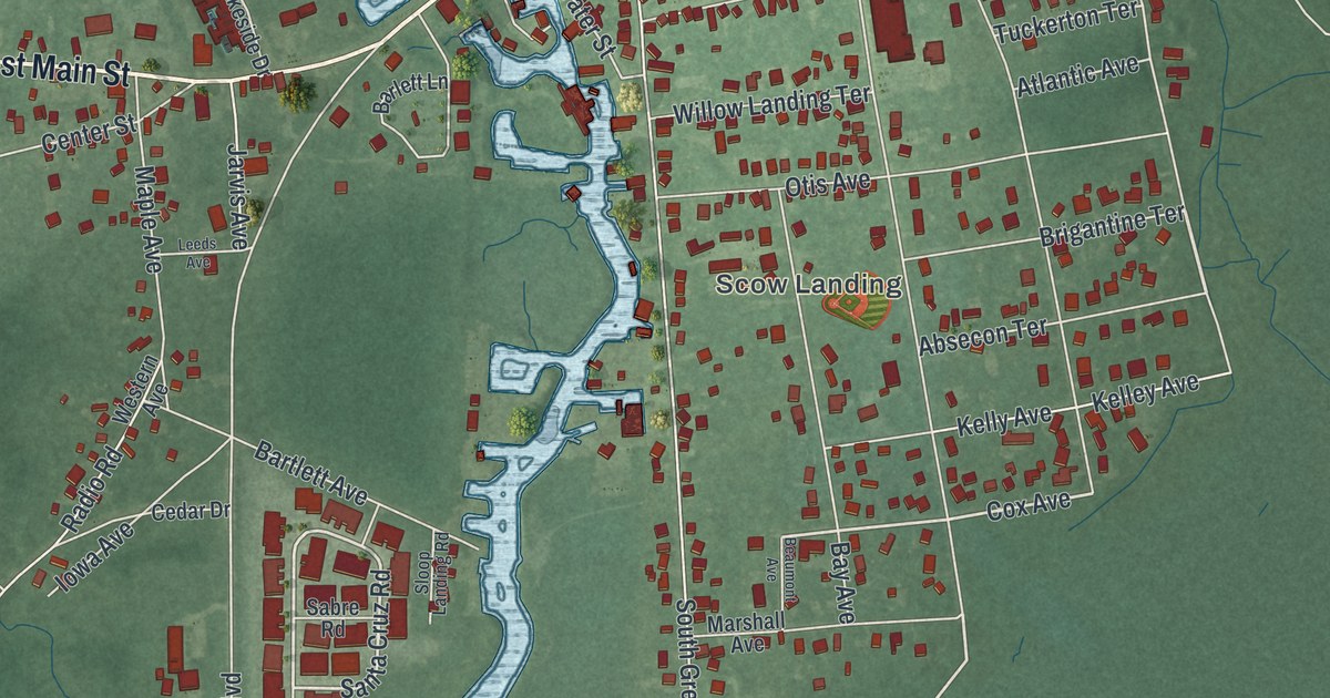
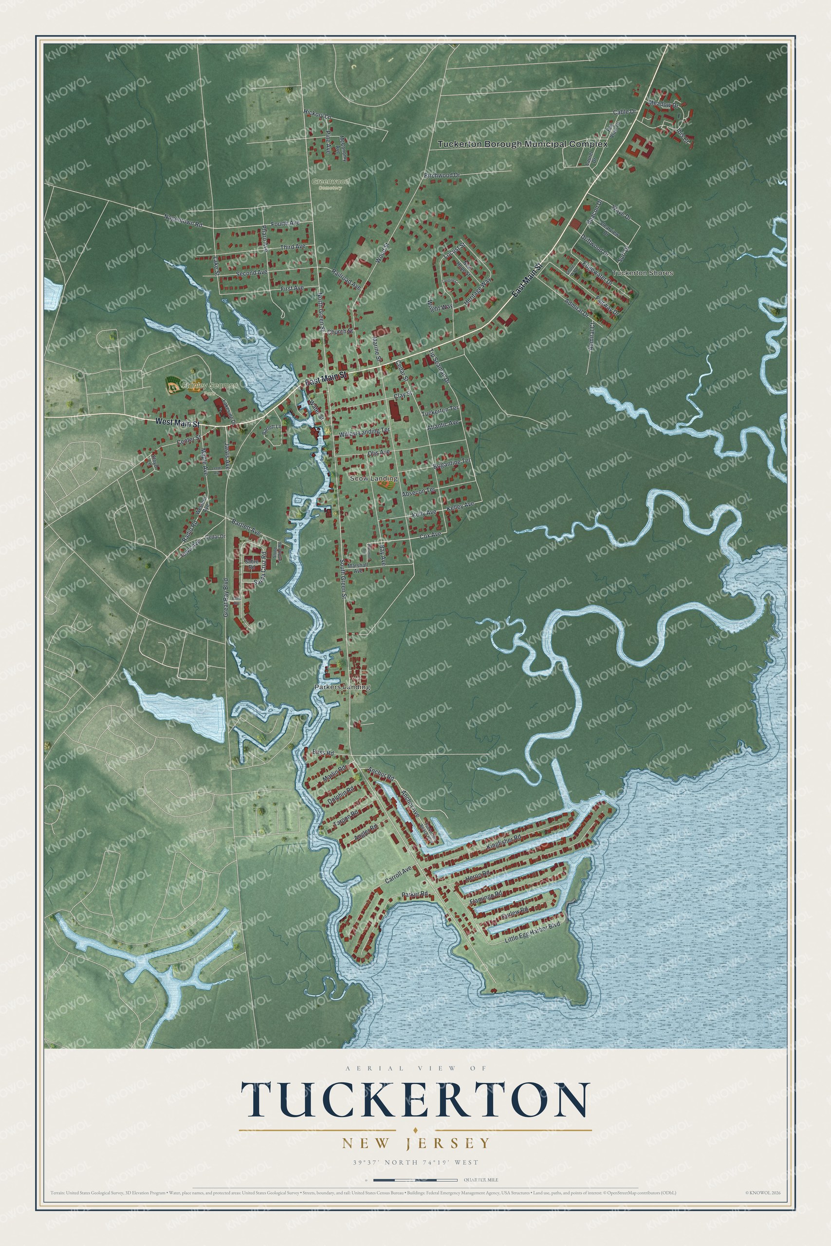
This beautifully detailed map of Tuckerton, New Jersey was created in 2026 using aerial imagery combined with modern topographical, census, street and landmark data. It’s a one-of-a-kind view of Tuckerton that combines accurate data with a vintage aesthetic. The map shows every building in its true location, many of the roads carry their names, and the shaded topographic relief shows the shape of the land.
Explore an aerial view of Tuckerton, New Jersey
On the map you’ll find Tuckerton Borough Municipal Complex, Tuckerton Shores, Parkers Landing, Scow Landing, Greenwood Cemetery, and Stanley Seaman Park, along with Main Street, Meadow Drive, Pine Avenue, Santa Cruz Road, and more. If you look closely you can even find your house accurately drawn in its correct location. Zoom in on the preview to look for yours.
Did You Know?
The town was once called Clamtown. In March 1789 Ebenezer Tucker threw a feast for the residents, and they renamed it Tuckerton in his honor. In 1791 he became the port’s collector. George Washington and Thomas Jefferson signed his commission.
Take a closer look at the Tuckerton map
Names on this map
These names are printed on this map.
Places: Tuckerton Borough Municipal Complex, Tuckerton Shores, Parkers Landing, Scow Landing, Greenwood Cemetery and Stanley Seaman Park.
Streets and roads: East Main Street, West Main Street, Meadow Drive, Pine Avenue, Santa Cruz Road, Cox Avenue, South Green Street, North Green Street, Great Bay Boulevard, Marine Street, Wood Street, Heron Road.
More street names, A to Z
Absecon Terrace, Admiral Court, Admiral Drive, Anchor Avenue, Anchor Road, Angler Road, Atlantic Avenue, Baltic Avenue, Barlett Lane, Bartlett Avenue, Bass Road, Bay Avenue, Bay View Drive, Beacon Drive, Beaumont Avenue, Birchwood Drive, Brigantine Terrace, Cable Drive, Carroll Avenue, Cedar Drive, Cedar Street, Center Street, Church Street, Clay Street, Clearview Drive, Curlew Road, Dolphin Road, Driftwood Drive, Edgewater Drive, Fairway Drive, First Avenue, Flamingo Road, Floyd Lane, Fourth Avenue, Heritage Way, Hickory Lane, Ibis Court, Iowa Avenue, Jarvis Avenue, Kelley Avenue, Kelly Avenue, Kingfisher Road, Lakeside Drive, Lake Street, Landing Court, Laurel Drive, Leeds Avenue, Little Egg Harbor Boulevard, Locust Street, Maple Avenue, Marlin Road, Marshall Avenue, McConomy Avenue, New Hope Street, Nugentown Road, Otis Avenue, Parker Road, Pharo Avenue, Radio Road, Railroad Avenue, Sabre Road, Second Avenue, Shore Way, Sloop Landing Road, Surf Drive, Tarpon Road, Third Avenue, Tip Seaman Drive, Tuckerton Beach Boulevard, Tuckerton Terrace, Water Street, Wave Drive, Western Avenue, Willow Landing Terrace, Wright Way.
See it on a wall
The Tuckerton map as an 18 x 24 inch print in a black frame.

This beautifully detailed map of Tuckerton makes an attractive addition to your office, library, or den, and it can even be used to teach children the geography and history of the area. It also makes a great gift for anyone with Tuckerton roots. When you’re done exploring, click here to get your copy of the Tuckerton map.