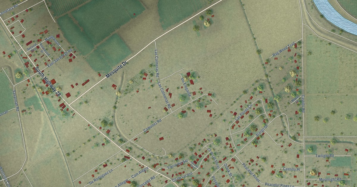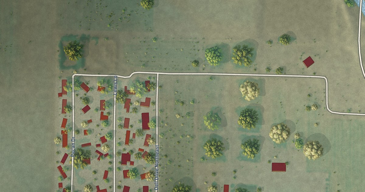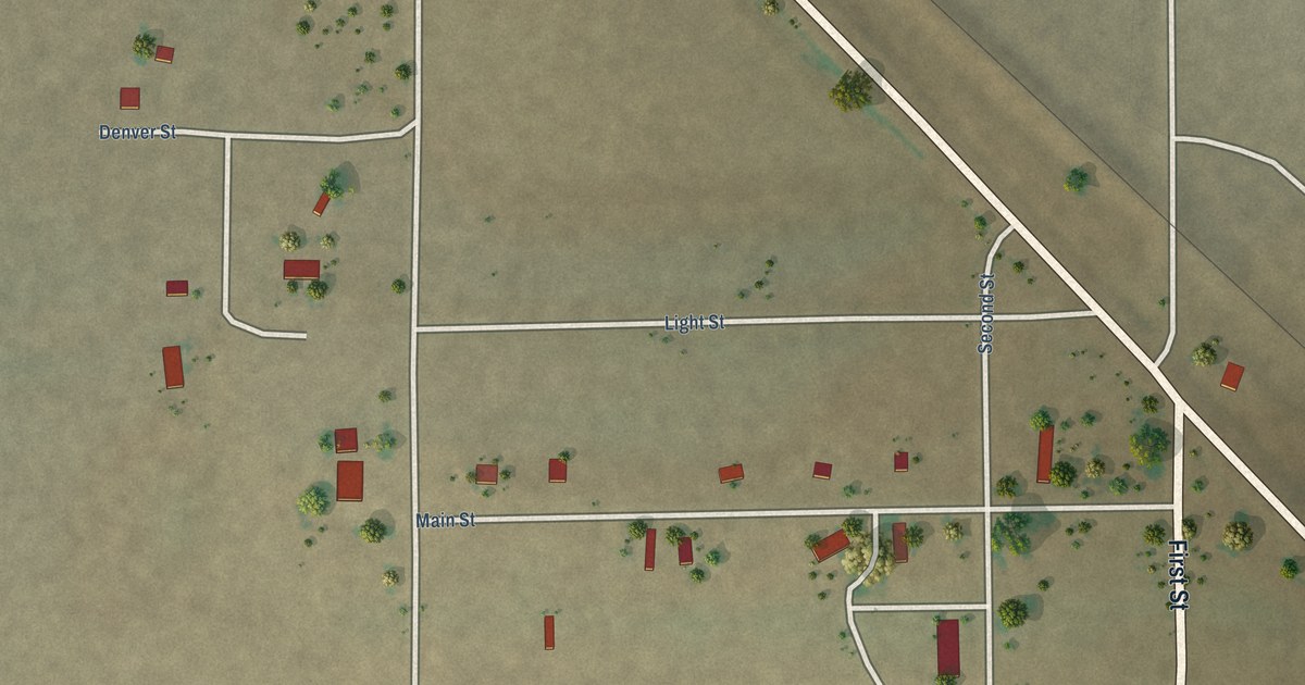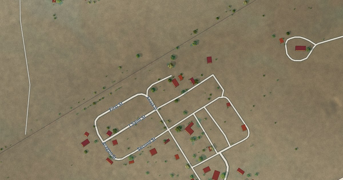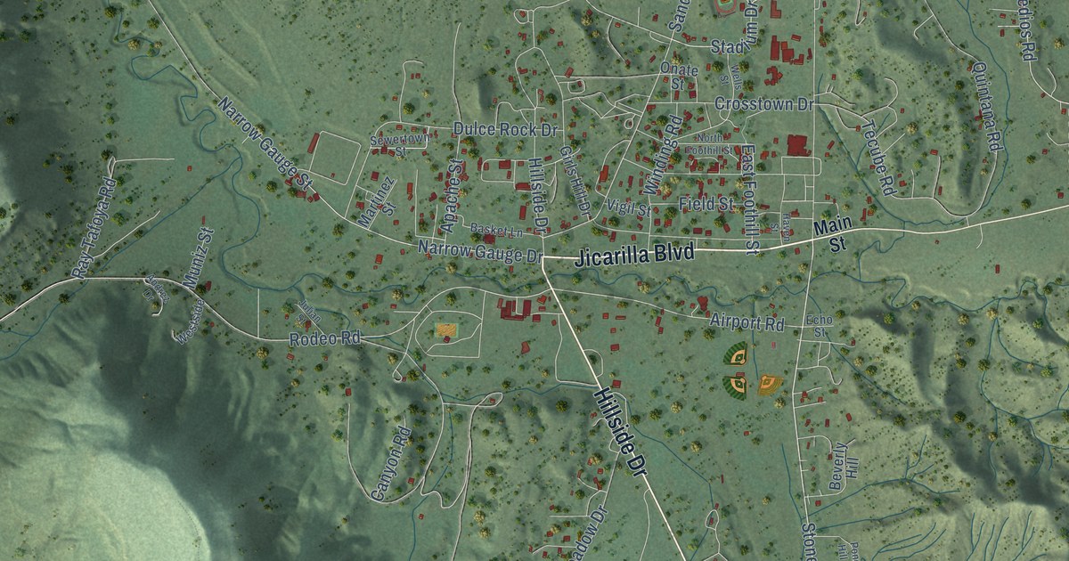
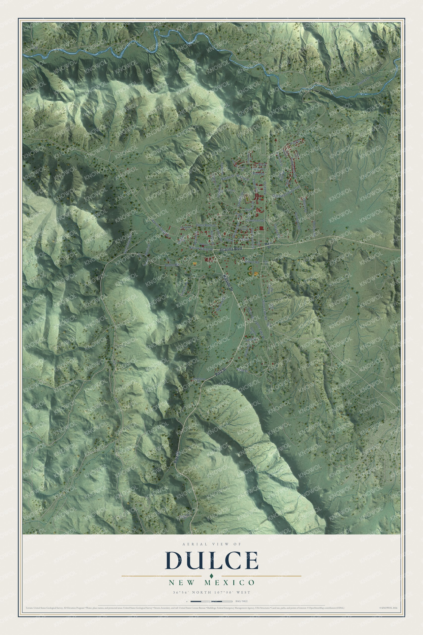
This beautifully detailed map of Dulce, New Mexico was created in 2026 using aerial imagery combined with modern topographical, census, street and landmark data. It's a modern aerial view of Dulce in Rio Arriba County, New Mexico, that combines modern data with a vintage aesthetic. The roads feature printed names, and if you look closely you can find your exact house accurately shown in its correct location.
Explore an aerial view of Dulce, New Mexico
On this map you'll find Jicarilla Boulevard, Hillside Drive, Paiz Street, Stone Lake Road, River Road, Pumphouse Road, Navajo Street, J11, Dedios Road, East Foothill Street, Rodeo Road, Apache Street, and more. Each red shape is a building, so zoom in on the preview and look for yours.
Every town has a first chapter, and Dulce is no exception. After many years of being moved about, the Jicarilla Apache were settled for good on a reservation in the upper reaches of the territory, just below the Colorado line. Dulce, with its new Indian agency and trading post, became the unofficial capital of the Jicarilla homeland. Jicarilla historian Veronica Velarde Tiller wrote that a new era of hope began for her people after 1918. Tribal funds released from Washington bought sheep for families, the beginnings of an independent livelihood. That's from the New Mexico historian Marc Simmons.
Dulce is a community in Rio Arriba County. The Census Bureau counted 2,788 people here in 2020.
Take a closer look at the Dulce map
Names on this map
These names are printed on this map.
Streets and roads: Jicarilla Boulevard, Hillside Drive, Paiz Street, Stone Lake Road, River Road, Pumphouse Road, Navajo Street, J11, Dedios Road, East Foothill Street, Rodeo Road, Apache Street.
More street names, A to Z
Airport Road, Andrez Drive, Arapahoe Street, Basket Lane, Beverly Hill, Bia Drive, Canyon Road, Carpenters Circle, Carpenters Drive, Cassador Road, Cedar Street, Chico Street, Crosstown Drive, De Dios Road, Dike Rock Street, Dulce Rock Drive, East Side Road, East Side Street, Easy Street, Echo Street, Empire Drive, Field Street, First Street, Fourth Street, Girls Hill Drive, Haven Street, Hawks Drive, Hunter Street, J-11, Julian Street, Main Street, Maria Street, Martinez Street, Meadow Drive, Mesa Street, Mr Long Street, Muniz Street, Narrow Gauge Drive, Narrow Gauge Street, North Foothill Street, Okie Street, Onate Street, Osprey Drive, Ponds Hill Street, Quintana Dedios Con, Quintana Road, Ray Tafoya Road, Sandhill Drive, Sandhill Lane, Sandstone Drive, Seneca Drive, Sewertown Street, Stadium Drive, Stone Lake Drive, Tecube Road, Third Street, Veneno Street, Vigil Street, Wells Street, Westside, Winding Road, Zuni Street.
See it on a wall
The Dulce map as a framed print. Swipe for more.


Created by KNOWOL in 2026. The buildings are small red shapes, the roads carry their printed names, and shaded relief shows the shape of the land. The title panel reads "AERIAL VIEW OF DULCE, NEW MEXICO" with 36°56' NORTH 107°00' WEST.
Hang it in the hallway, the office or the cabin, or give it to someone who left Dulce and still calls it home. Open the preview and look for a street you know. See sizes and frames for the Dulce map.