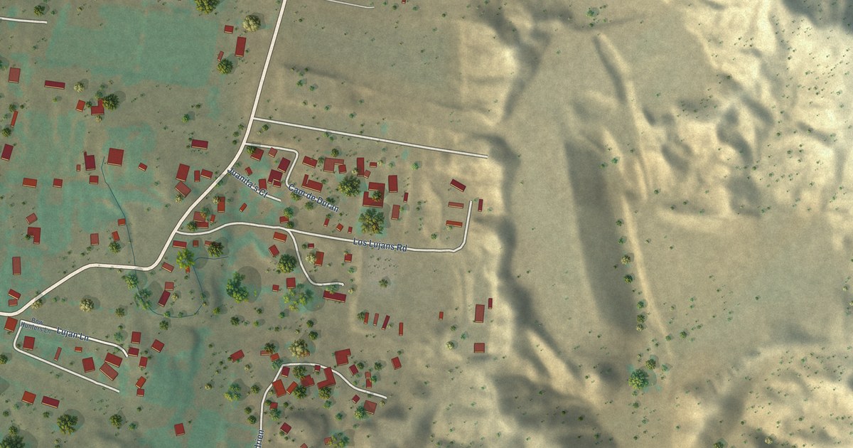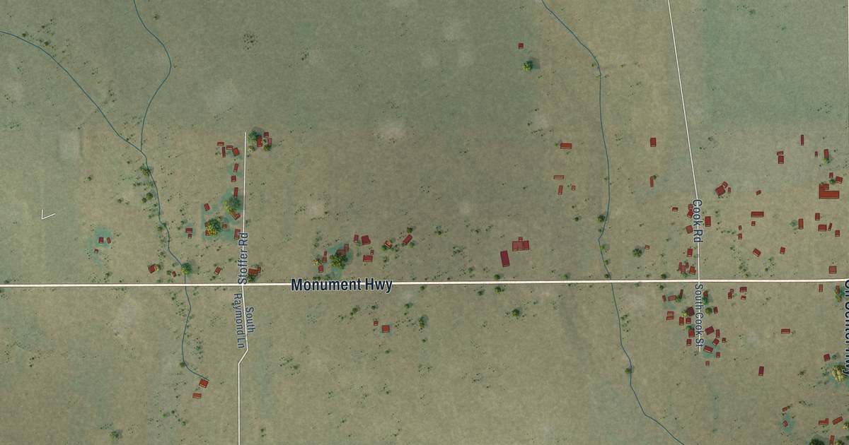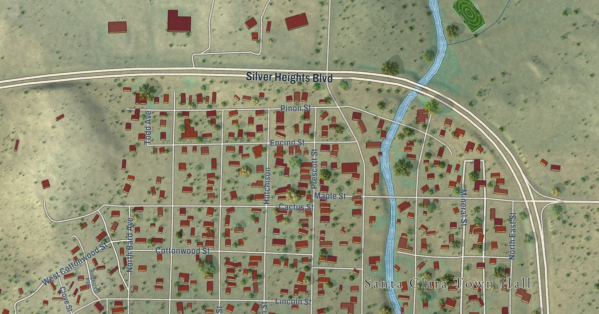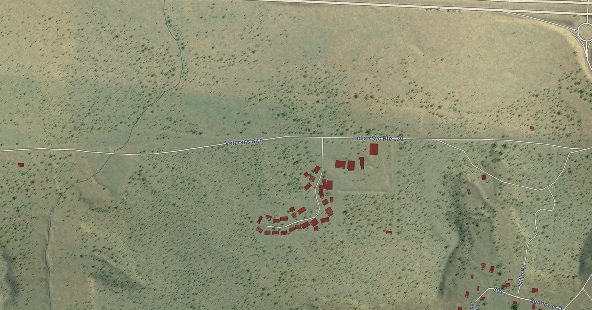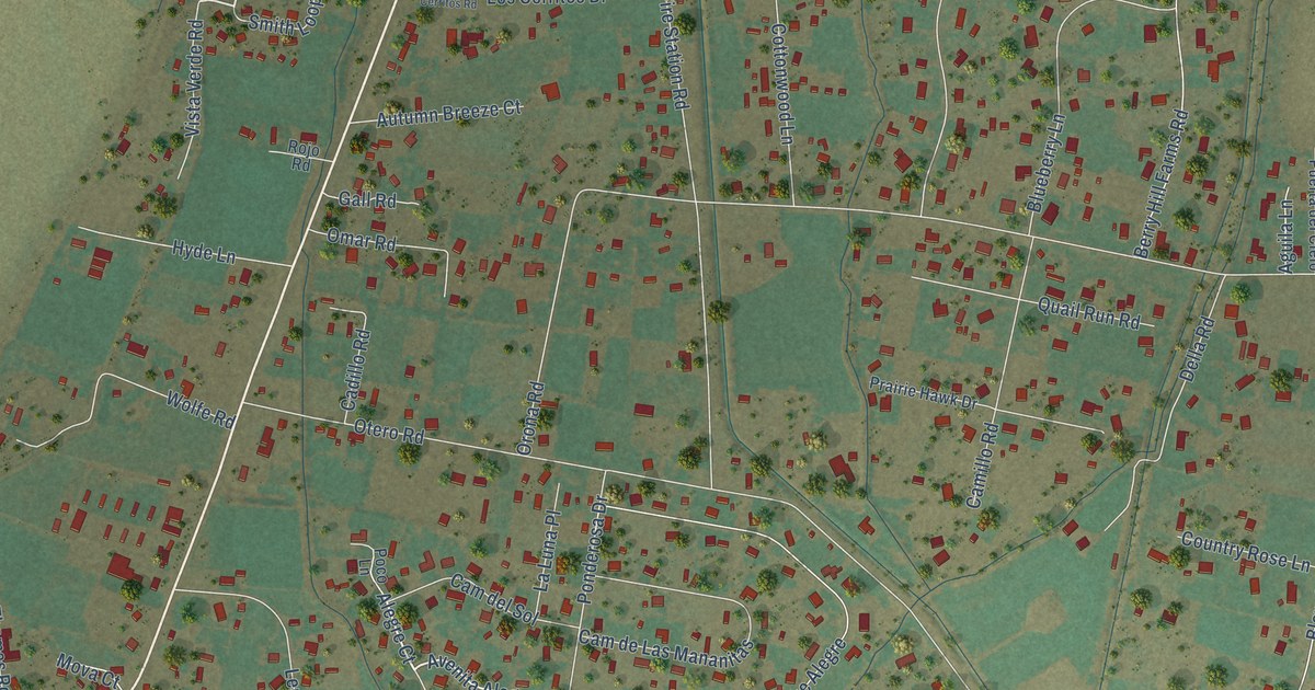
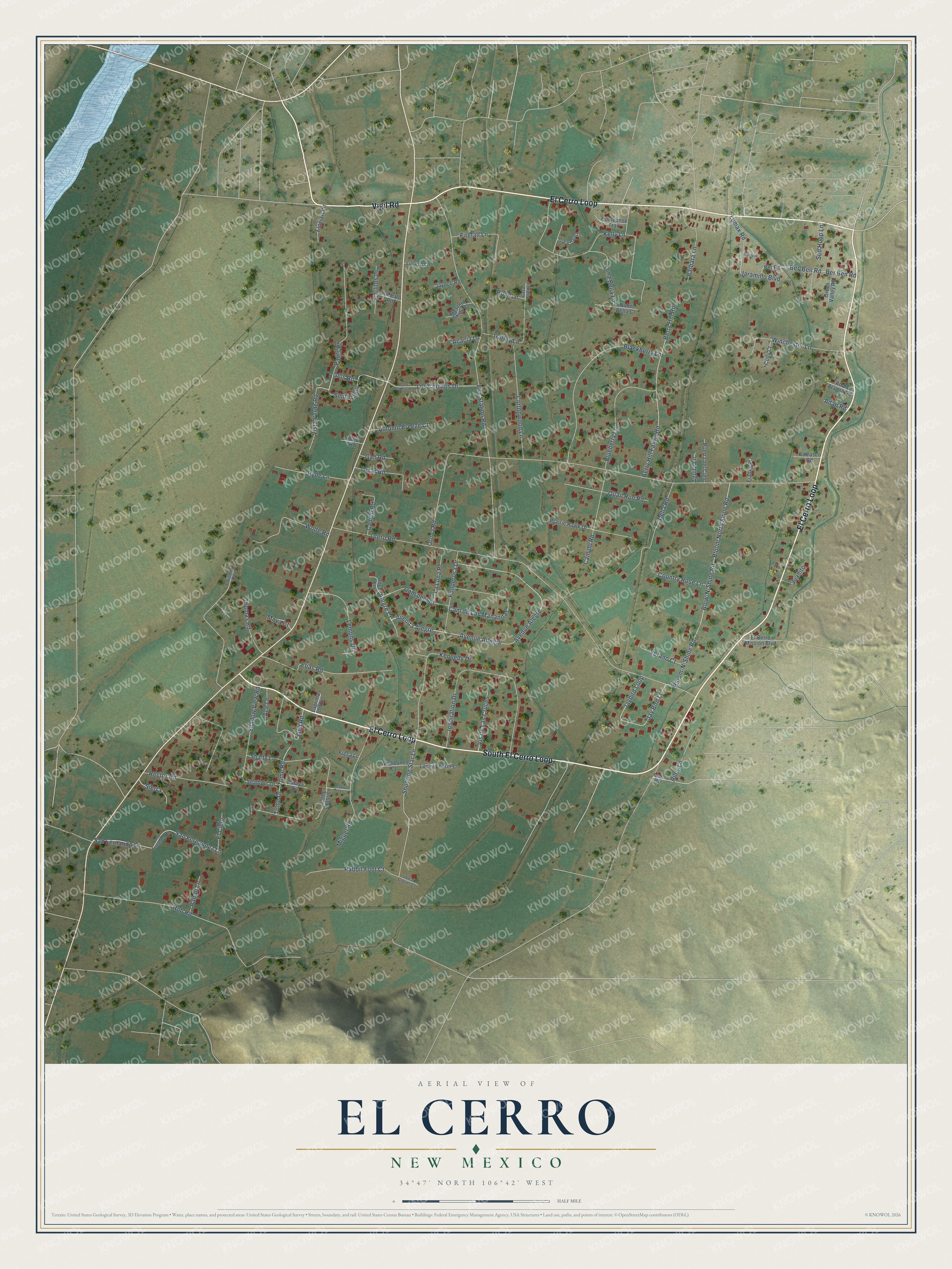
This beautifully detailed map of El Cerro, New Mexico was created in 2026 using aerial imagery combined with modern topographical, census, street and landmark data. It's a modern aerial view of El Cerro in Valencia County, New Mexico, that combines modern data with a vintage aesthetic. The roads feature printed names, and if you look closely you can find your exact house accurately shown in its correct location.
Explore an aerial view of El Cerro, New Mexico
On this map you'll find South El Cerro Loop, El Cerro Loop, Vigil Road, Smith Loop, Avenita Alegre, Geis Road, Shooting Star Lane, Orona Road, Otero Road, Fire Station Road, Avenue Allegre, Kelly Lane, and more. Each red shape is a building, so zoom in on the preview and look for yours.
El Cerro is a community in Valencia County. The Census Bureau counted 2,946 people here in 2020. El Cerro sits about 2 miles south of Valencia, 3 miles northwest of Monterey Park and 3 miles northeast of Tome. The map prints the town name in its title panel, with the coordinates below it.
Take a closer look at the El Cerro map
Names on this map
These names are printed on this map.
Streets and roads: South El Cerro Loop, El Cerro Loop, Vigil Road, Smith Loop, Avenita Alegre, Geis Road, Shooting Star Lane, Orona Road, Otero Road, Fire Station Road, Avenue Allegre, Kelly Lane.
More street names, A to Z
4 Leaf Clover Court, Acacia Lane, Ace Lane, Adan Aragon Road, Adan Road, Aguila Lane, Alegre Court, Autumn Breeze Court, Avenue Alegre, Barbara Lane, Ber-Ben Road, Ber Ben Road, Ber Road, Berry Hill Farms Road, Berry Hill Road, Blackberry Lane, Bloom-N-Shine Road, Bloom North Shine Road, Blow-N-Shine Road, Blueberry Lane, Braylene, Cadillo Road, Cam de Las Mananitas, Cam del Sol, Camillo Road, Carlitos Lane, Carrasco Road, Casa Bonita, Cody Court, Cottonwood Lane, Country Rose Lane, Della Road, El Cerro Mission Boulevard, El Cielo, Elias Road, Firefall Lane, Florian Lane, Franks Place, Fresa Lane, Gall Road, Garley Lane, Great Dane Lane, Green Valley Road, Hob Road, Horseshoe Trail, Hyde Lane, Inspiration Drive, Jaeb Road, Jaramillo Boulevard, Jay Bird Lane, Jaybird Loop, Jaydee Road, Juanito, Kennedy Drive, Lagrima de Oro, La Luna Place, Lemons Drive, Llano Drive, Los Cerritos Drive, Los Cerritos Road, Lucero Lane, Lucky Charm Court, Lumax Road, Luna Bella Lane, Maxwell Lane, Miguel Road, Mova Court, Nube Bella Court, Omar Road, Pando Lane, Pauls Place, Poco Lane, Ponderosa Drive, Prairie Hawk Drive, Puerta del Cielo, Quail Run Road, Rabbit Foot Court, Rector Road, Riley Lane, Roberto Road, Rojo Road, Ross Lane, San Fernandez Lane, San Fernandez Road, San Fernando Lane, Sed Hoop Lane, Shadows Drive, Shadow View Road, Shady Lane, Sierra, Talaya Circle, Thomas Road, Three Cross Lane, Tome Drive, Tome Road, Verano Court, Vis de Las Cruces, Vista Verde Road, Western Skies Court, Willow Road, Winchester Lane, Wishbone Court, Wolfe Road.
See it on a wall
The El Cerro map as a framed print. Swipe for more.


Created by KNOWOL in 2026. The buildings are small red shapes, the roads carry their printed names, and shaded relief shows the shape of the land. The title panel reads "AERIAL VIEW OF EL CERRO, NEW MEXICO" with 34°47' NORTH 106°42' WEST.
Hang it in the hallway, the office or the cabin, or give it to someone who left El Cerro and still calls it home. Open the preview and look for a street you know. See sizes and frames for the El Cerro map.