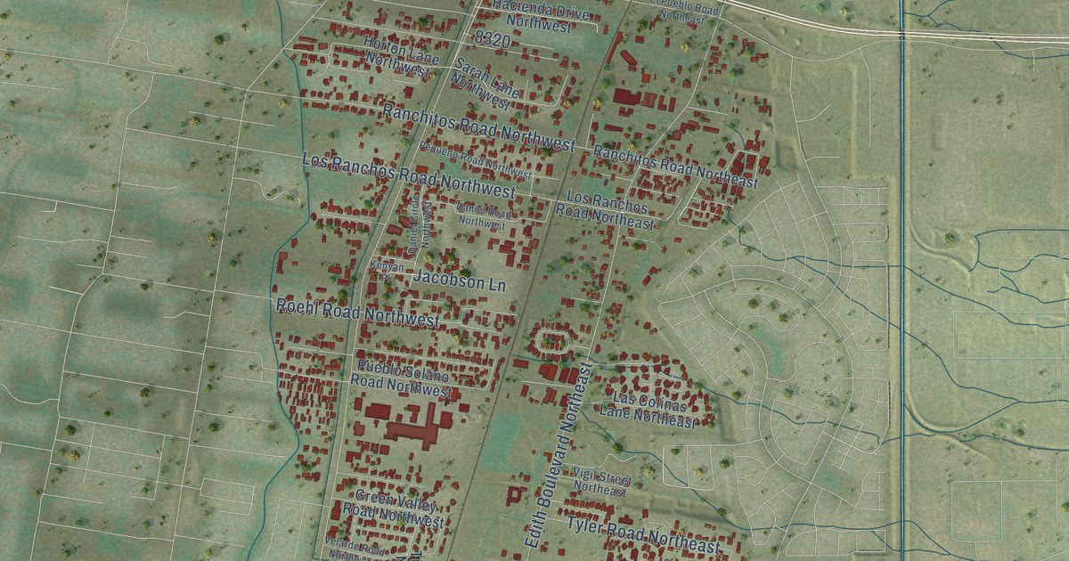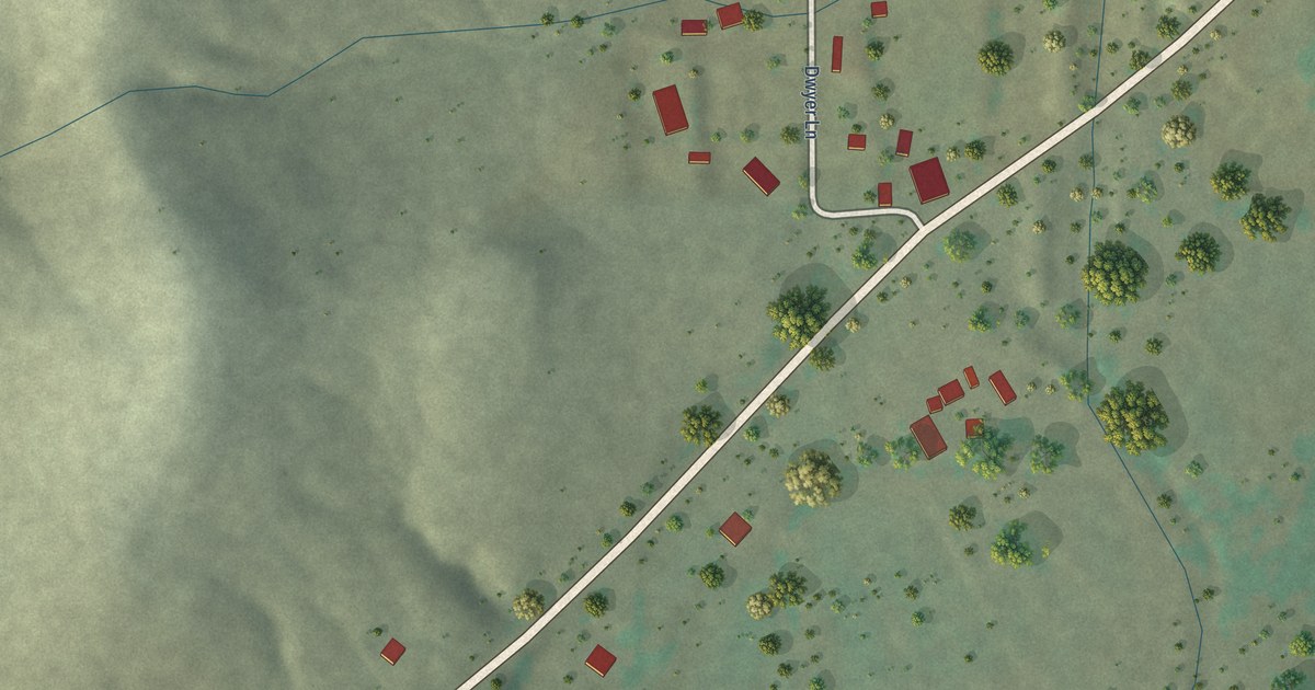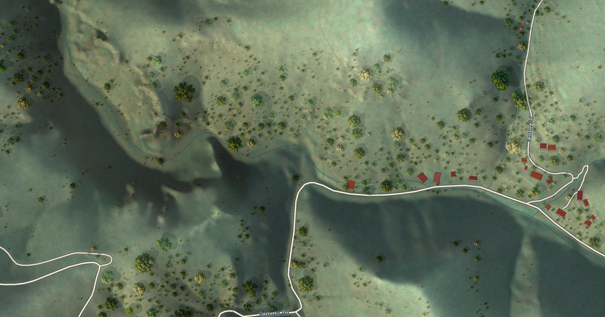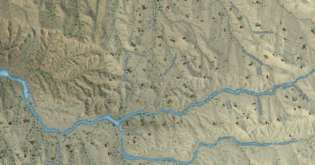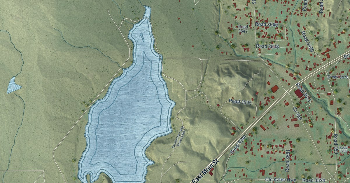
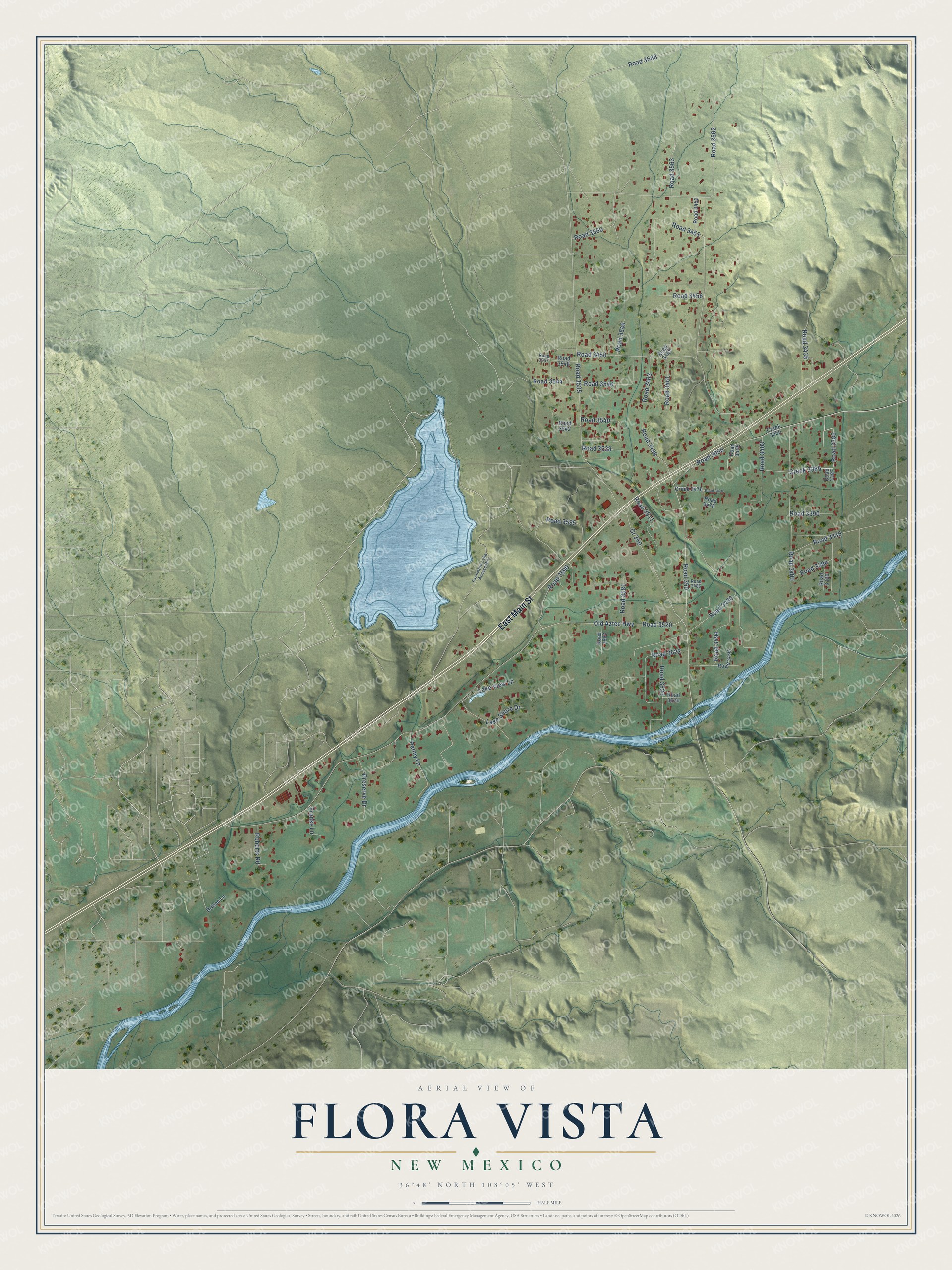
This beautifully detailed map of Flora Vista, New Mexico was created in 2026 using aerial imagery combined with modern topographical, census, street and landmark data. It's a modern aerial view of Flora Vista in San Juan County, New Mexico, that combines modern data with a vintage aesthetic. The roads feature printed names, and if you look closely you can find your exact house accurately shown in its correct location.
Explore an aerial view of Flora Vista, New Mexico
On this map you'll find East Main Street, Road 3451, Road 3050, Road 3385, Creek 3385, Lake Shore Drive, Old Aztec Highway, Road 3535, Road 350, Road 3562, Road 3450, Road 3400, and more. Each red shape is a building, so zoom in on the preview and look for yours.
Flora Vista has a story worth telling. Settlers from Colorado had already built cabins along the Animas River by 1877, where Flora Vista would grow. Its Spanish name means flower view, and it was probably inspired by the wildflowers in the meadows near the river. That's from the University of New Mexico Press.
Flora Vista is a community in San Juan County. The Census Bureau counted 2,048 people here in 2020.
Take a closer look at the Flora Vista map
Names on this map
These names are printed on this map.
Streets and roads: East Main Street, Road 3451, Road 3050, Road 3385, Creek 3385, Lake Shore Drive, Old Aztec Highway, Road 3535, Road 350, Road 3562, Road 3450, Road 3400.
More street names, A to Z
Cr 350, Creek 3050, Creek 3476, Drinen Lane, Farminton Lake Access Road, Franks Lane, Lake View Lane, Penny Lane, Preserve Drive, Road 3335, Road 3387, Road 3390, Road 3394, Road 3399, Road 3403, Road 3405, Road 3435, Road 3452, Road 3456, Road 3459, Road 3461, Road 3463, Road 3476, Road 3478, Road 3486, Road 3490, Road 3494, Road 3495, Road 3499, Road 3511, Road 3520, Road 3522, Road 3523, Road 3526, Road 3538, Road 3540, Road 3542, Road 3544, Road 3546, Road 3547, Road 3548, Road 3549, Road 3560, Road 3563, Road 3566, Road 3581, Road 3583, Road 3590, Road 3595, Roberts Road.
See it on a wall
The Flora Vista map as a framed print. Swipe for more.


Created by KNOWOL in 2026. The buildings are small red shapes, the roads carry their printed names, and shaded relief shows the shape of the land. The title panel reads "AERIAL VIEW OF FLORA VISTA, NEW MEXICO" with 36°48' NORTH 108°05' WEST.
It looks right in a kitchen, an office or a den, and it's a gift for anyone who grew up in Flora Vista or moved away. Open the preview and find your street. See sizes and frames for the Flora Vista map.