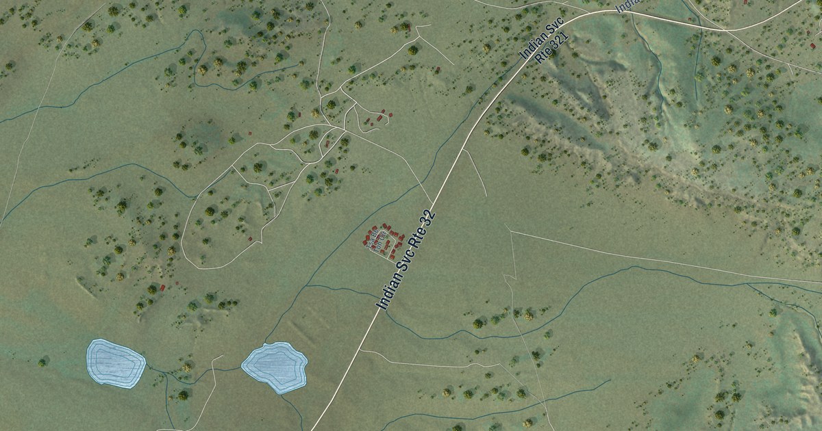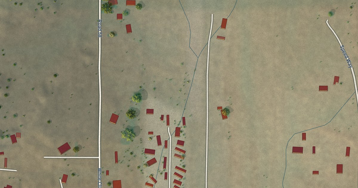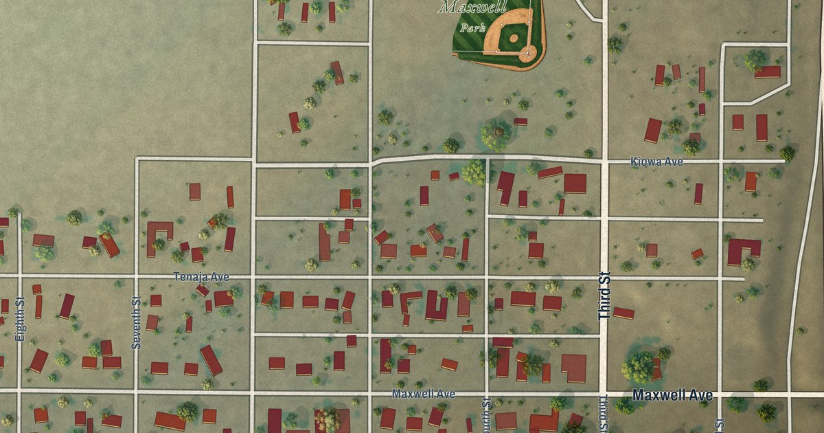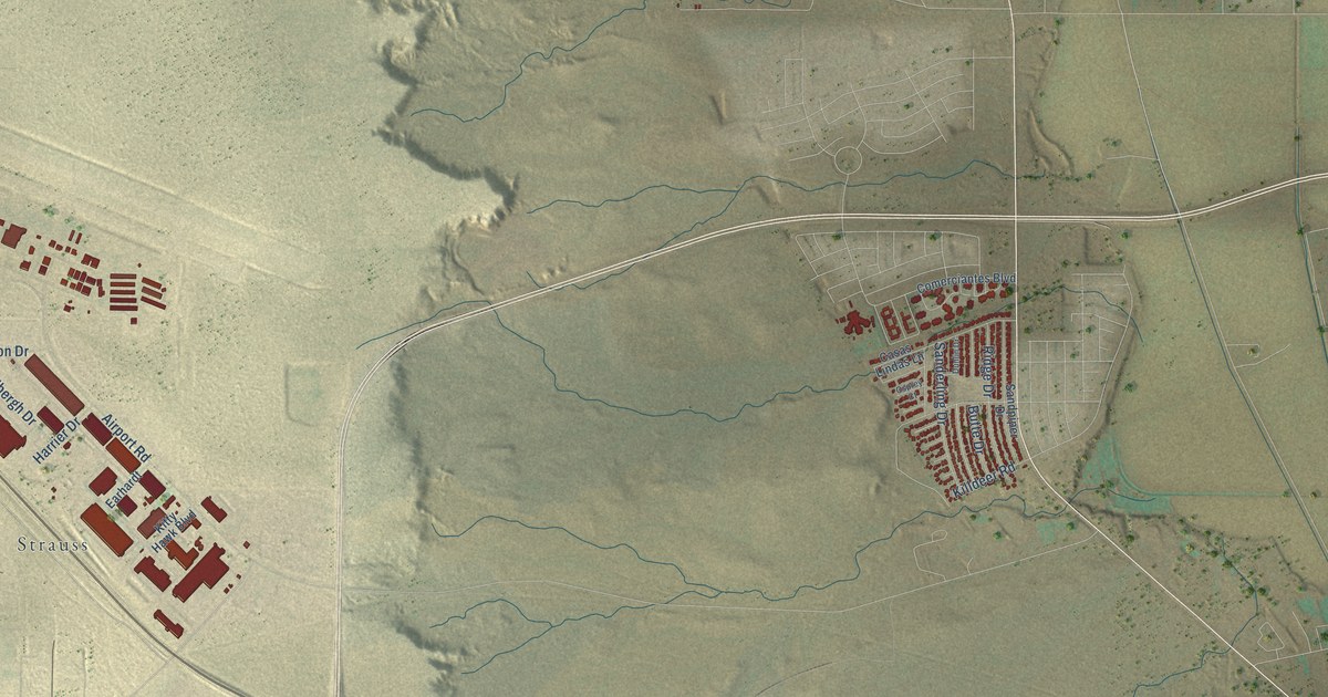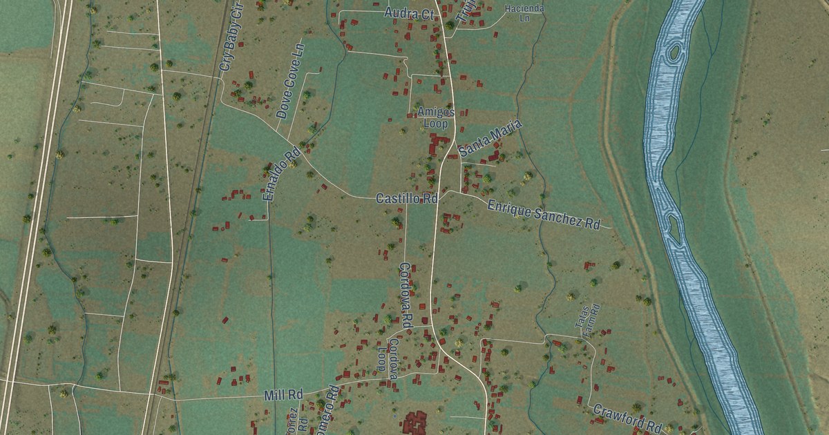
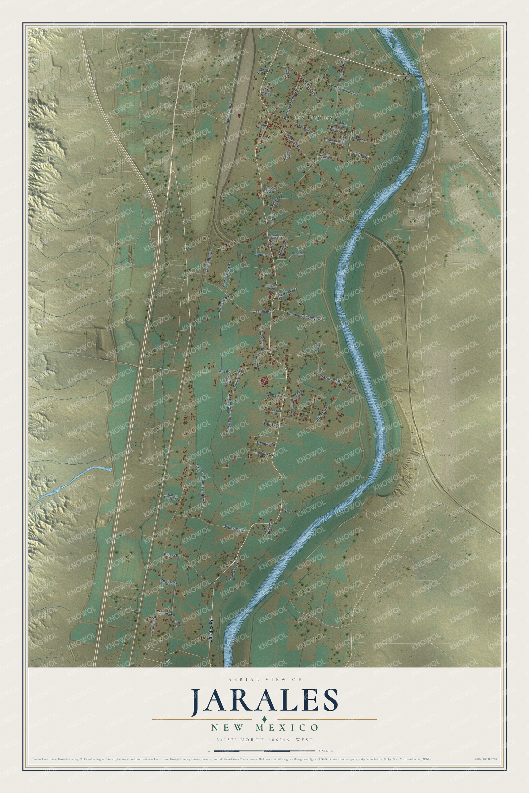
This beautifully detailed map of Jarales, New Mexico was created in 2026 using aerial imagery combined with modern topographical, census, street and landmark data. It's a modern aerial view of Jarales in Valencia County, New Mexico, that combines modern data with a vintage aesthetic. The roads feature printed names, and if you look closely you can find your exact house accurately shown in its correct location.
Explore an aerial view of Jarales, New Mexico
On this map you'll find Los Trujillos, Jarales Road, South First Street, El Campo, Armijo Road, Maestas Road, Jaramillo Road, Crawford Road, Flora Lane, Mill Road, Trujillo Road, Olguin Road, and more. Each red shape is a building, so zoom in on the preview and look for yours.
Every town has a first chapter, and Jarales is no exception. Jarales most likely takes its name from the willow thickets along the Rio Grande just east of the village, which has also been called Jaralosa, though some old-timers say a local family named Jarales gave the name. When Fray Francisco Dominguez visited in 1776, the place was simply called Ranchos. That's from the University of New Mexico Press.
Jarales is a community in Valencia County. The Census Bureau counted 2,042 people here in 2020.
Take a closer look at the Jarales map
Names on this map
These names are printed on this map.
Places: Los Trujillos.
Streets and roads: Jarales Road, South First Street, El Campo, Armijo Road, Maestas Road, Jaramillo Road, Crawford Road, Flora Lane, Mill Road, Trujillo Road, Olguin Road, Castillo Road.
More street names, A to Z
Amigos Loop, Apache Lane, Apple Drive, Audra Court, Baca Lane, Benavidez Entrada Road, Cam de Crystal, Carmelita Lane, Cordova Loop, Cordova Road, Cry Baby Circle, Doloros Lopez Road, Don Quixote, Dove Cove Lane, Duke Road, Eastside School Road, Enrique Sanchez Road, Ernaldo Road, Esmeralda Lane, Estavan Lopez Road, Fermin Chavez Road, Francisco Lane, Garcia Lane, Hacienda Lane, Jose Luis Road, Ladis Road, La Mirada, La Mirada Road, Landess Lane, Lazy Hollow Lane, Lazy Lane, Mi Casa Lane, Oney Lane, Orchard Road, Peralta Lane, Pluma Road, Rael Street, River Road, Romero Drive, Romero Road, Romer Road South, Sanchez Lane, Santa Barbara, Santa Maria, Serafin Road, Severo Lane, Spiers Road, Storey Road, Tatas Farm Road, Tiempo Road, Tillie Road, Torrez Road, Ulibarri Drive, Willow Way.
See it on a wall
The Jarales map as a framed print. Swipe for more.


Created by KNOWOL in 2026. The buildings are small red shapes, the roads carry their printed names, and shaded relief shows the shape of the land. The title panel reads "AERIAL VIEW OF JARALES, NEW MEXICO" with 34°37' NORTH 106°46' WEST.
Hang it in the hallway, the office or the cabin, or give it to someone who left Jarales and still calls it home. Open the preview and look for a street you know. See sizes and frames for the Jarales map.