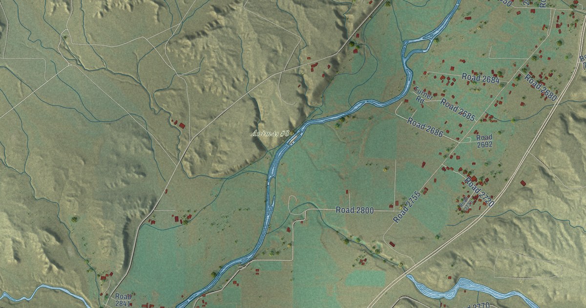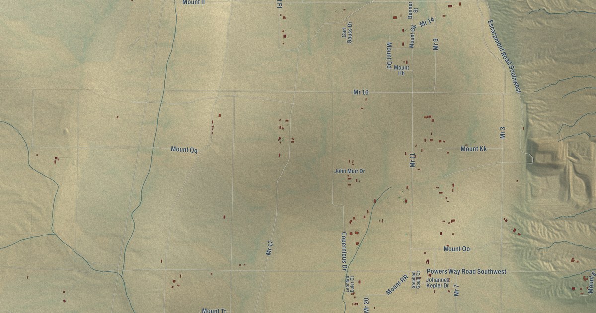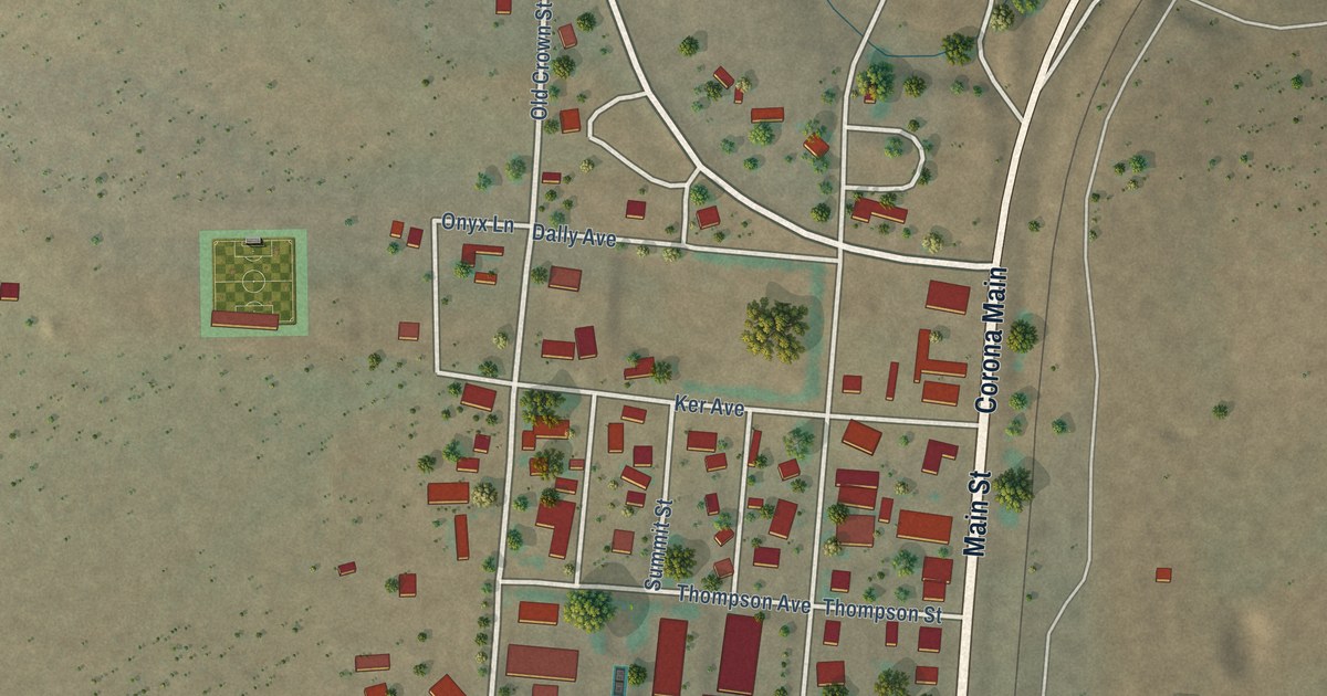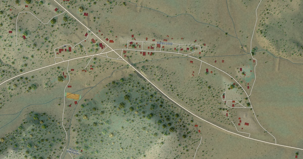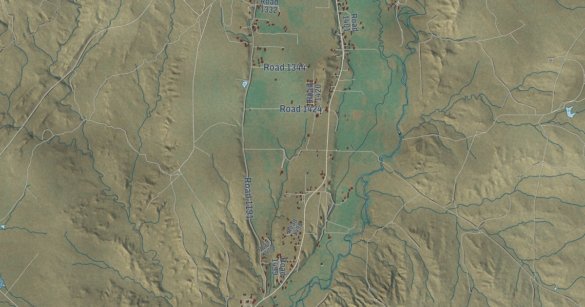
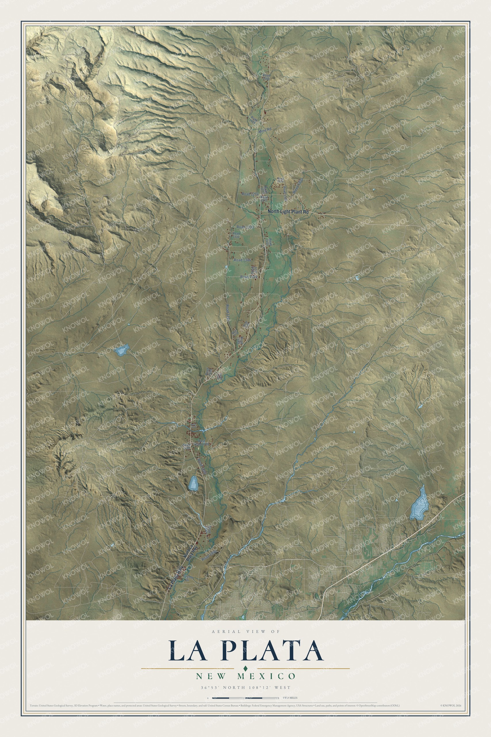
This beautifully detailed map of La Plata, New Mexico was created in 2026 using aerial imagery combined with modern topographical, census, street and landmark data. It's a modern aerial view of La Plata in San Juan County, New Mexico, that combines modern data with a vintage aesthetic. The roads feature printed names, and if you look closely you can find your exact house accurately shown in its correct location.
Explore an aerial view of La Plata, New Mexico
On this map you'll find North Light Plant Road, La Plata Highway, Road 1191, Road 1300, Mine Road, Road 1990, Road 1424, Road 1330, Road 1800, Road 1274, Road 1344, North La Plata Highway, and more. Each red shape is a building, so zoom in on the preview and look for yours.
Every town has a first chapter, and La Plata is no exception. Florence and John R. Pond were among the first Euro-American settlers in the La Plata valley, arriving in 1877. John Pond became La Plata's first postmaster, opening its first post office at the family home in 1881, and the house was also a stage stop on the road between Farmington and Durango. A settler who came in 1879 said she moved to the valley because it was like a garden, with native grasses belly deep to a horse. That's from the National Register of Historic Places.
La Plata is a community in San Juan County. The Census Bureau counted 2,105 people here in 2020.
Take a closer look at the La Plata map
Names on this map
These names are printed on this map.
Streets and roads: North Light Plant Road, La Plata Highway, Road 1191, Road 1300, Mine Road, Road 1990, Road 1424, Road 1330, Road 1800, Road 1274, Road 1344, North La Plata Highway.
More street names, A to Z
Coyote Drive, Road 1006, Road 1115, Road 1273, Road 1277, Road 1304, Road 1305, Road 1332, Road 1401, Road 1420, Road 1470, Road 1490, Road 1499, Road 1636, Road 1639, Road 1740, Road 1790, Road 1947, West Road 1788.
See it on a wall
The La Plata map as a framed print. Swipe for more.


Created by KNOWOL in 2026. The buildings are small red shapes, the roads carry their printed names, and shaded relief shows the shape of the land. The title panel reads "AERIAL VIEW OF LA PLATA, NEW MEXICO" with 36°53' NORTH 108°12' WEST.
Hang it in the hallway, the office or the cabin, or give it to someone who left La Plata and still calls it home. Open the preview and look for a street you know. See sizes and frames for the La Plata map.