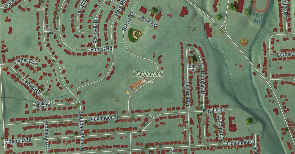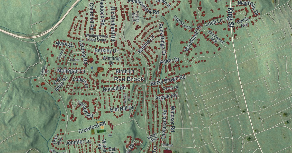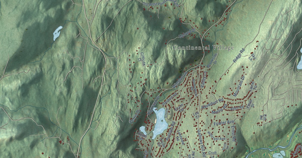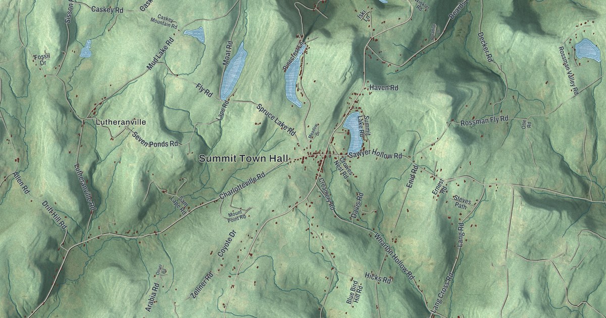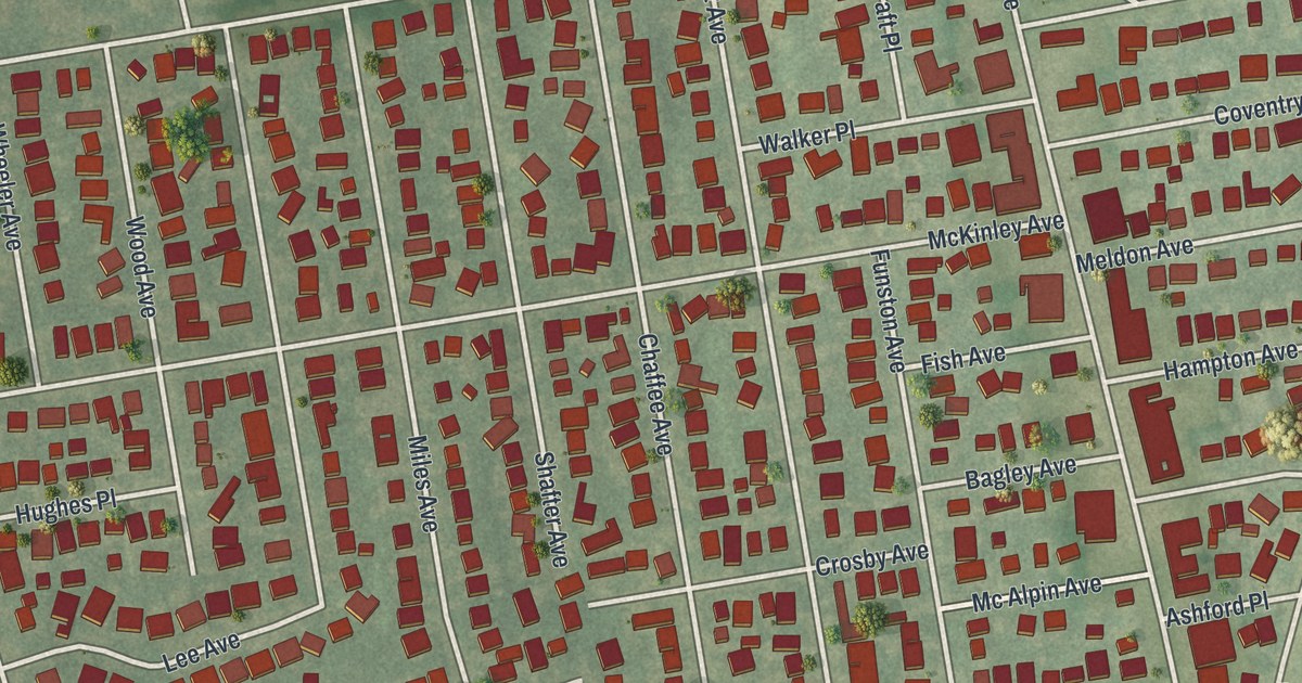
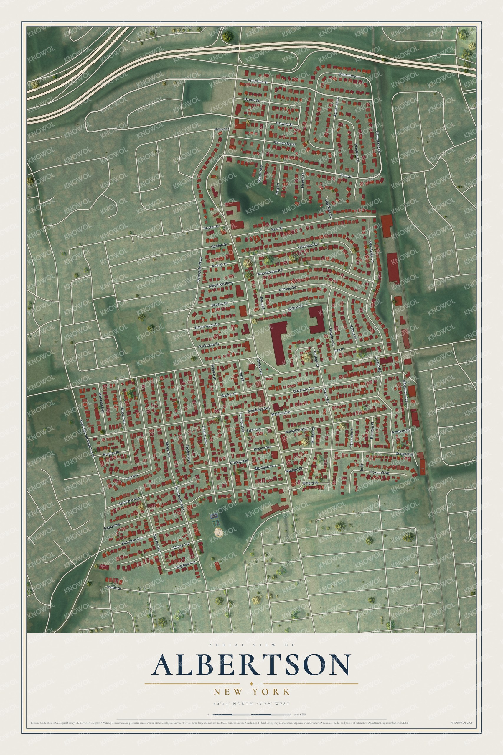
This beautifully detailed map of Albertson, New York was created in 2026 using aerial imagery combined with modern topographical, census, street and landmark data. It’s a one-of-a-kind view of Albertson that combines accurate data with a vintage aesthetic. The map shows every building in its true location, many of the roads carry their names, and the shaded topographic relief shows the shape of the land.
Explore an aerial view of Albertson, New York
On the map you’ll find Yale Street, Princeton Street, Cherrytree Lane, Harvard Street, Willis Avenue, and more. If you look closely you can even find your house accurately drawn in its correct location. Zoom in on the preview to look for yours.
Did You Know?
Albertson takes its name from Townsend Albertson, who ran a farm and a gristmill here. John Seren, the earliest European settler, had come from Connecticut in 1644. An Albertson stop on the Long Island Rail Road opened in 1864.
Take a closer look at the Albertson map
Names on this map
These names are printed on this map.
Streets and roads: Yale Street, Princeton Street, Cherrytree Lane, Harvard Street, Willis Avenue, Wentworth Avenue, Deepdale Parkway, Searingtown Road South, Evans Avenue, McKinley Avenue, Albertson Avenue, Peachtree Lane.
More street names, A to Z
Albertson Parkway, Appletree Lane, Arleigh Drive, Ashford Place, Bagley Avenue, Berry Place, Bethel Road, Beverly Drive, Branton Place, Cambridge Street, Chaffee Avenue, Coventry Avenue, Crosby Avenue, Devon Road, Dewey Avenue, Dorset Avenue, Exford Place, Falmouth Place, Fish Avenue, Flower Lane, Foxcroft Road, Funston Avenue, Garden Drive, Grant Avenue, Hampton Avenue, Hilltop Place, Hillturn Lane, Hillvale Road, Hughes Place, In Place, Lea Place, Lee Avenue, Lynton Road, Manor Avenue, Mc Alpin Avenue, Meadow Drive, Meldon Avenue, Miles Avenue, Nassau Drive, Netherwood Drive, Netz Place, Newberry Court, Oak Ridge Lane, Oak Tree Court, Oxford Street, Park Lane Drive, Park Place, Pinetree Lane, Plainfield Road, Sampson Avenue, San Juan Avenue, Schley Avenue, Shafter Avenue, Sigsbee Avenue, Taft Place, Terrace Court, Walker Place, Wheeler Avenue, William Street, Willow Place, Wood Avenue, Woodhollow Road.
See it on a wall
The Albertson map as a framed print. Swipe for more.


This beautifully detailed map of Albertson makes an attractive addition to your office, library, or den, and it can even be used to teach children the geography and history of the area. It also makes a great gift for anyone with Albertson roots. When you’re done exploring, click here to get your copy of the Albertson map.