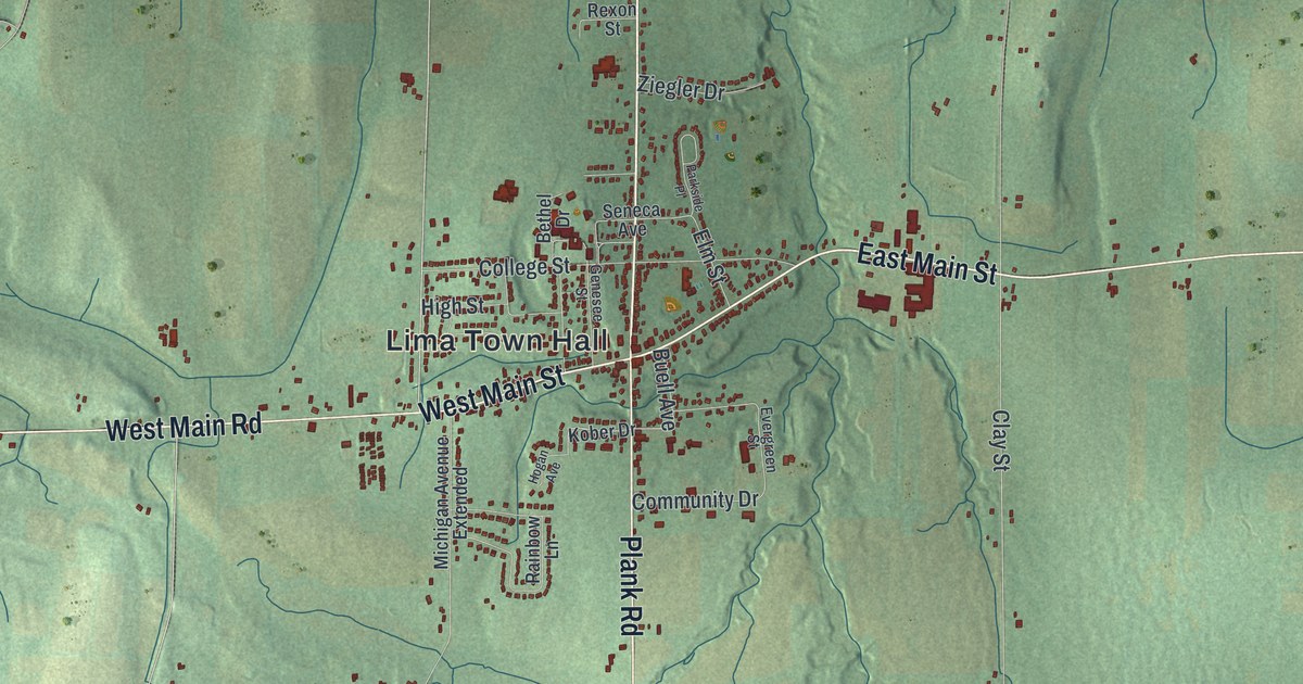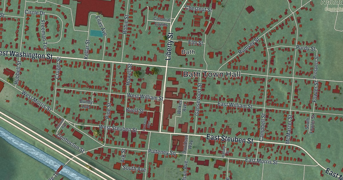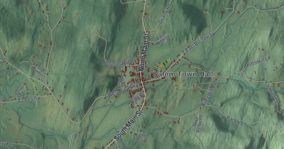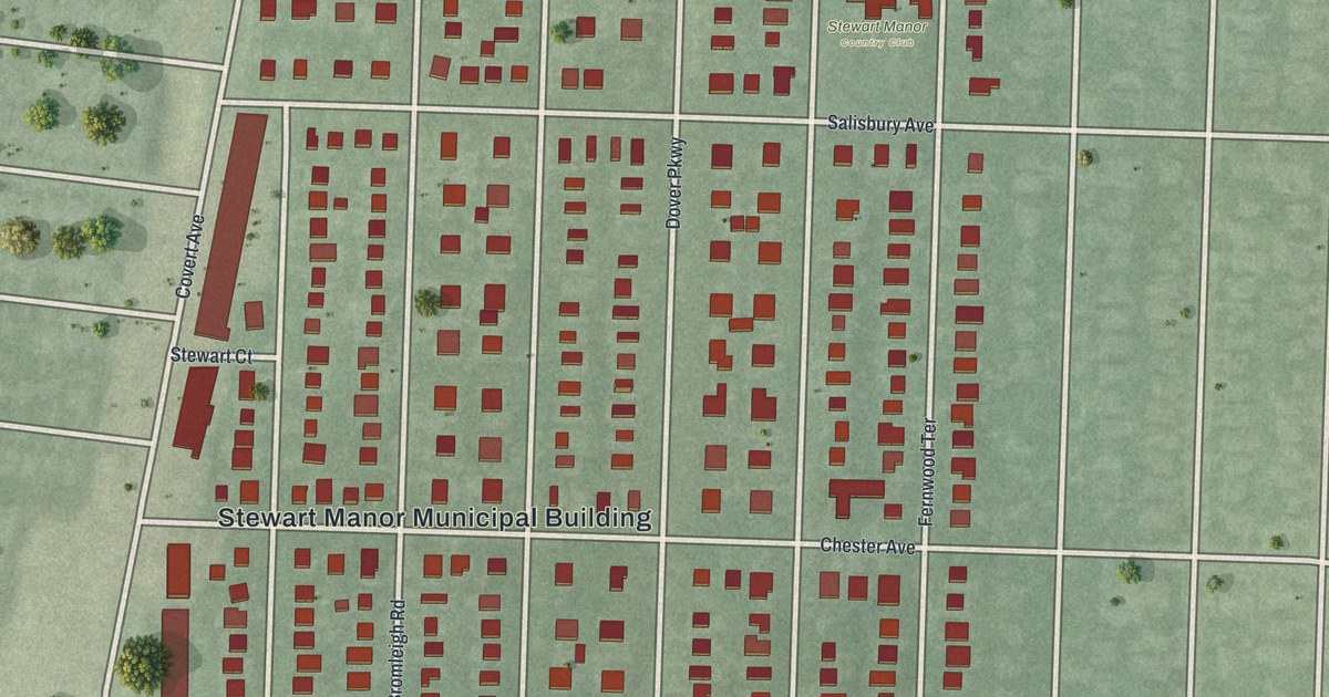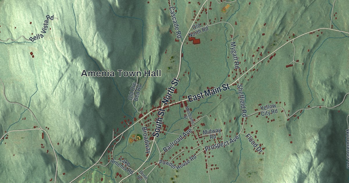
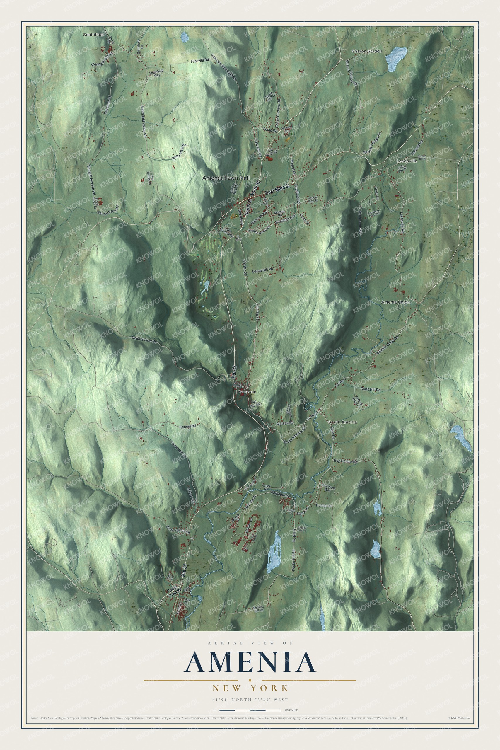
This beautifully detailed map of Amenia, New York was created in 2026 using aerial imagery combined with modern topographical, census, street and landmark data. It’s a one-of-a-kind view of Amenia that combines accurate data with a vintage aesthetic. The map shows every building in its true location, many of the roads carry their names, and the shaded topographic relief shows the shape of the land.
Explore an aerial view of Amenia, New York
On the map you’ll find Amenia Town Hall, Smithfield, Leedsville, South Amenia, Amenia Union, and Sharon Station, along with Main Street, North Street, South Street, Tinker Town Road, and more. If you look closely you can even find your house accurately drawn in its correct location. Zoom in on the preview to look for yours.
Did You Know?
Amenia was home to Lewis Mumford, critic and author. His book on Herman Melville did much to revive interest in the neglected author of Moby Dick. J. E. Spingarn, a leader in new literary criticism, spent his later years here. That’s from the 1940 WPA guide to New York.
Take a closer look at the Amenia map
Names on this map
These names are printed on this map.
Places: Amenia Town Hall, Smithfield, Leedsville, South Amenia, Amenia Union, Sharon Station and Wassaic.
Streets and roads: East Main Street, North Street, South Street, Route 22, Old Route 22, Cascade Road, Prospect Avenue, Sheffield Road, Mygatt Road, Bog Hollow Road, County Route 2, Sinpatch Road.
More street names, A to Z
Academy Street, Amenia Union Road, Bangall - Amenia Road, Bangall Amenia Road, Bel-Air Farm Road, Bella Vista Road, Benson Hill Road, Benson Road, Benton Hill Road, Benton Road, Box Canyon Trail, Broadway, Butts Hollow Road, Cascade Mountain Road, Center Circle, Clark Hill Road, County Route 3, County Route 4, County Route 81, Creek Road, Deep Hollow Road, Depot Hill Road, Dunn Road, East Park Place, Flanagan Hill Road, Flint Hill Road, Flood Drive, Folan Road, Fox Hollow Drive, Furnace Bank Road, Glen Avenue, Green Road, Hillside Drive, Hill Top Road, Howes Drive, Hunter Lane, Kennel Road, Kent Road, Lake Amenia Road, Leedsville Road, Lee Lane, Market Street, May Lane, Mechanic Street, Midway Road, Oak Drive, Oak Hill Road, Oblong Ridge Lane, Old North Road, Old Ore Bed Road, Perrys Corners Road, Poplar Hill Road, Poplar Lane, Powder House Road, Railroad Avenue, Randall Road, Riverknoll Way, Scott Drive, Separate Road, Sharon Station Road, Smithfield Road, Smithfield Valley Road, Smithfield Way, Sn Fri Road, South Amenia Road, South Sinpatch Road, Sugar Kain Lane, Tinker Town Road, Tower Hill Road, Troutbeck Crescent, Westerly Ridge Drive, Willow Lane, Winding Creek Lane, Woodlands Road, Yellow City Road.
See it on a wall
The Amenia map as a framed print. Swipe for more.


This beautifully detailed map of Amenia makes an attractive addition to your office, library, or den, and it can even be used to teach children the geography and history of the area. It also makes a great gift for anyone who grew up in Amenia or moved away. When you’re done exploring, click here to get your copy of the Amenia map.