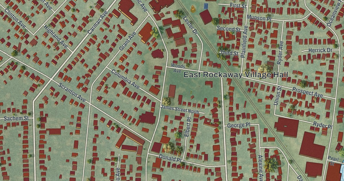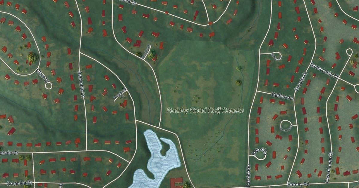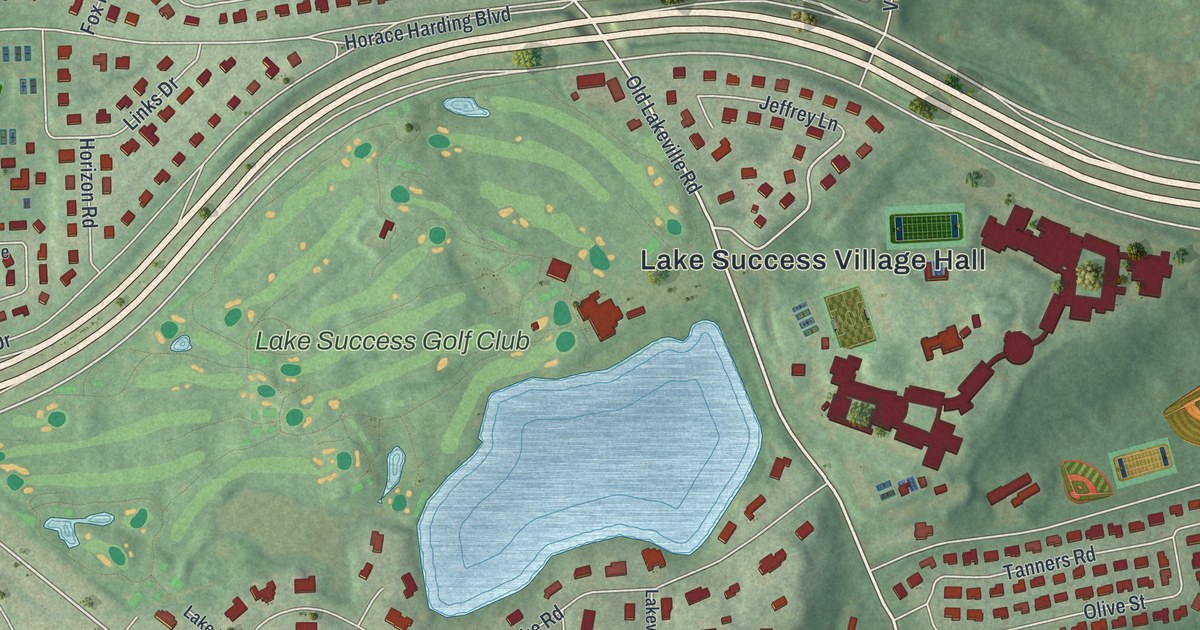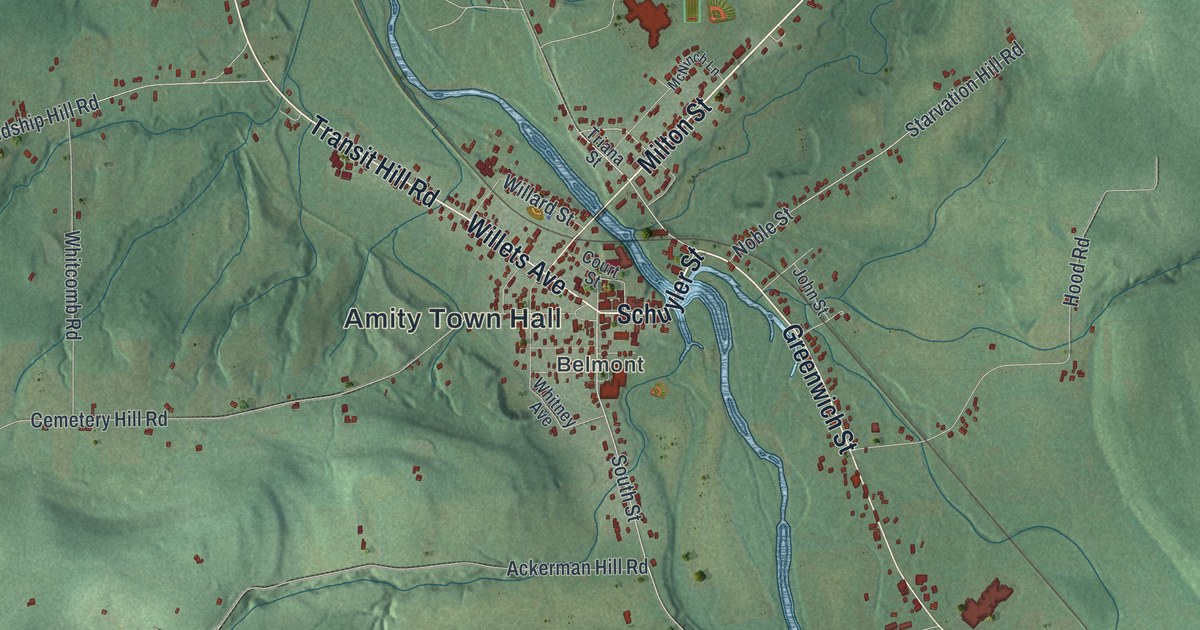
This beautifully detailed map of Amity, New York was created in 2026 using aerial imagery combined with modern topographical, census, street and landmark data. It’s a one-of-a-kind view of Amity that combines accurate data with a vintage aesthetic. The map shows every building in its true location, many of the roads carry their names, and the shaded topographic relief shows the shape of the land.
Explore an aerial view of Amity, New York
On the map you’ll find Amity Town Hall, Belvidere, Withey, Belmont, and Plumbottom State Forest, along with Milton Street, Schuyler Street, Mainville Road, Willets Avenue, and more. If you look closely you can even find your house accurately drawn in its correct location. Zoom in on the preview to look for yours.
Did You Know?
The name Amity means friendship. Settlers first arrived around 1804, and the town was formed in 1830 from parts of Angelica and Scio. Belmont, the seat of Allegany County, lies within Amity. In 1856 some of its land went to found Ward.
Take a closer look at the Amity map
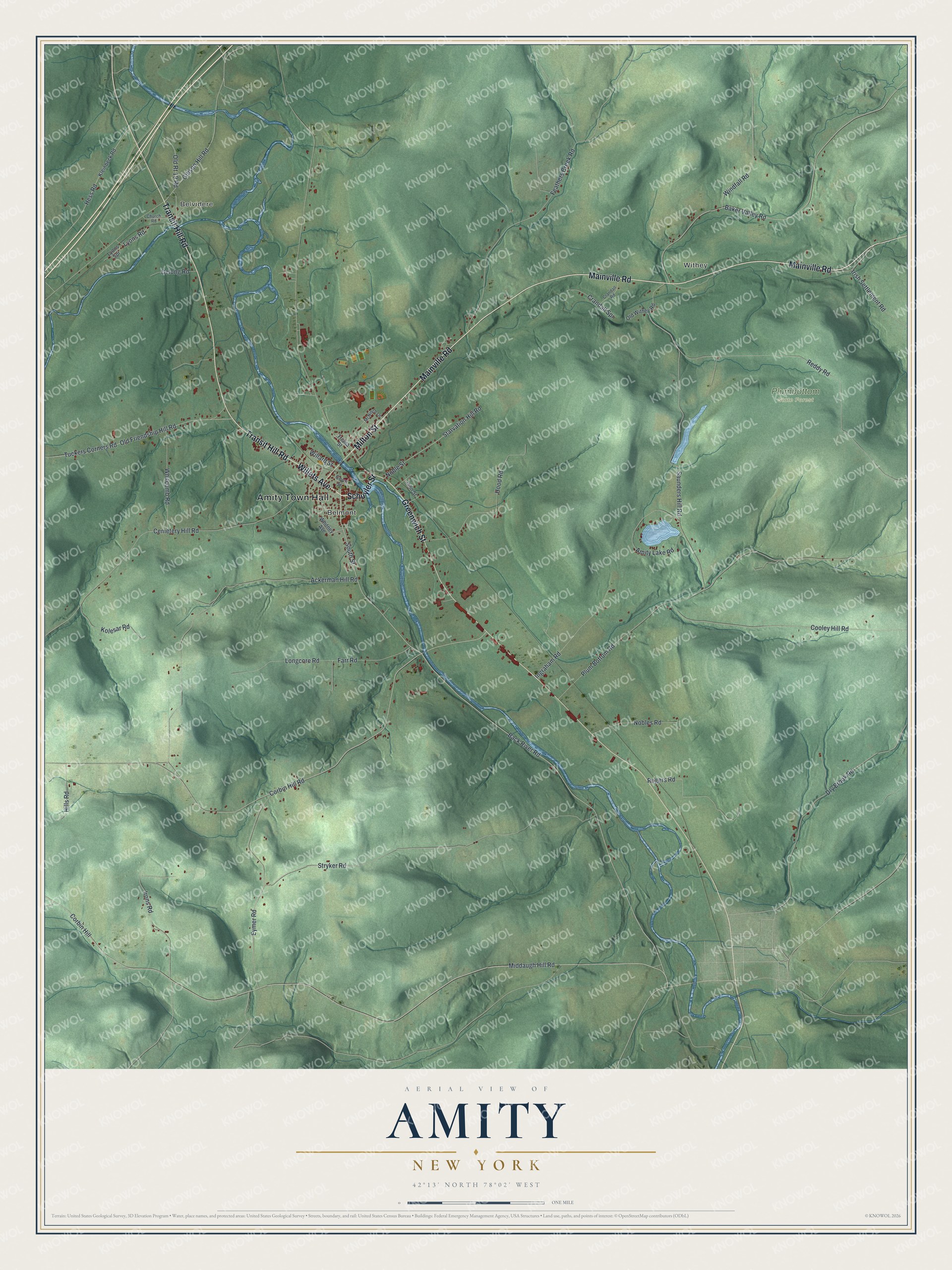
Names on this map
These names are printed on this map.
Places: Amity Town Hall, Belvidere, Withey, Belmont and Plumbottom State Forest.
Streets and roads: Milton Street, Schuyler Street, Mainville Road, Willets Avenue, Transit Hill Road, Greenwich Street, South Street, Back River Road, Irish Settlement Road, Corbin Hill, Ackerman Hill Road, Cemetery Hill Road.
More street names, A to Z
Amity Lake Road, Baker Valley Road, Church Road, Cooley Hill Road, Corbin Hill Road, Court Street, Crandall Road, Crandall Spr, Delong Road, Dry Brook Road, Eymer Road, Farr Road, Feathers Creek Road, Gibson Hill Road, Hess Road, Hills Road, Hood Road, Ingraham Road, Irons Road, John Street, Kleinbeck Road, Kolesar Road, Longcore Road, Lyons Road, Lyons Spr, McNinch Lane, Middaugh Hill Road, Nobles Road, Noble Street, Old Friendship Hill Road, Old Rt 19 Road, Old Withey Road, Plum Bottom Road, Reddy Road, Rogers Road, Saunders Hill Road, Starvation Hill Road, Stryker Road, Triana Street, Tuckers Corners Road, Whitcomb Road, Whitney Avenue, Willard Street, Windfall Road.
See it on a wall
The Amity map as a framed print. Swipe for more.


This beautifully detailed map of Amity makes an attractive addition to your office, library, or den, and it can even be used to teach children the geography and history of the area. It also makes a great gift for someone who left Amity and still calls it home. When you’re done exploring, click here to get your copy of the Amity map.