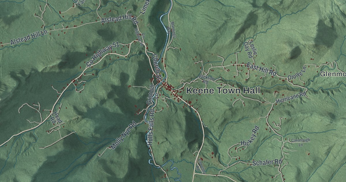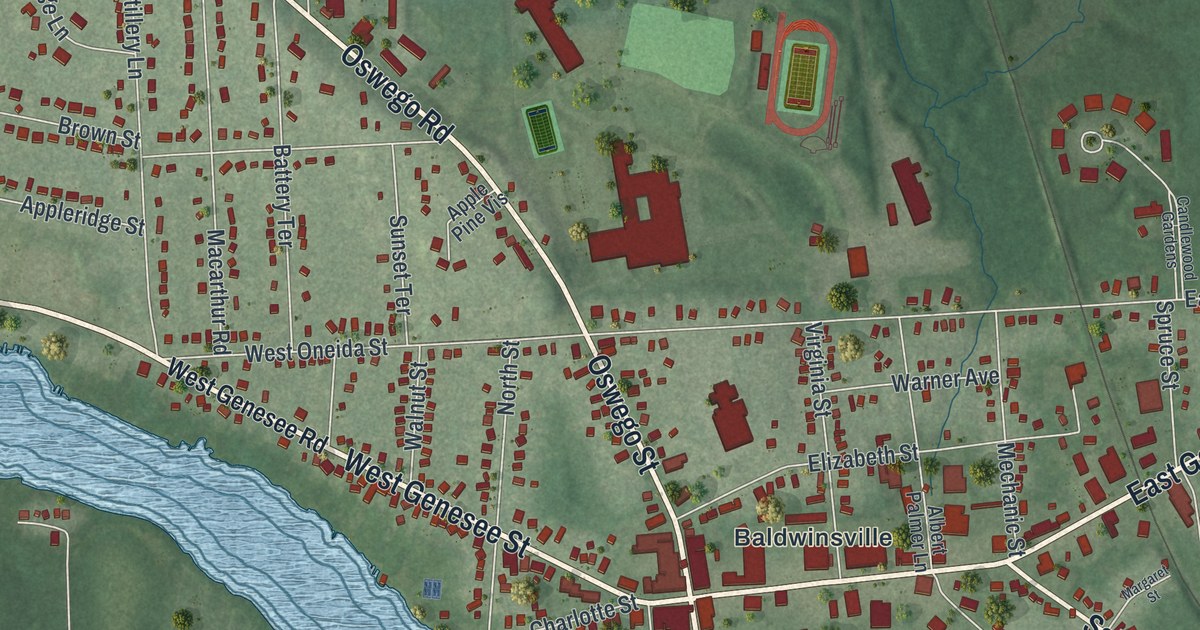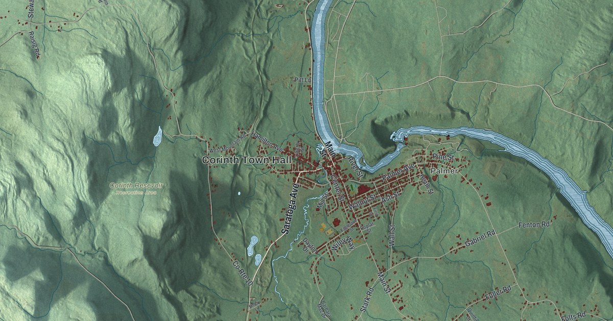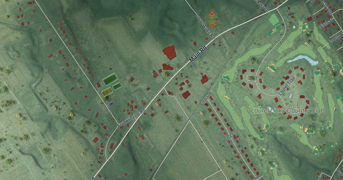
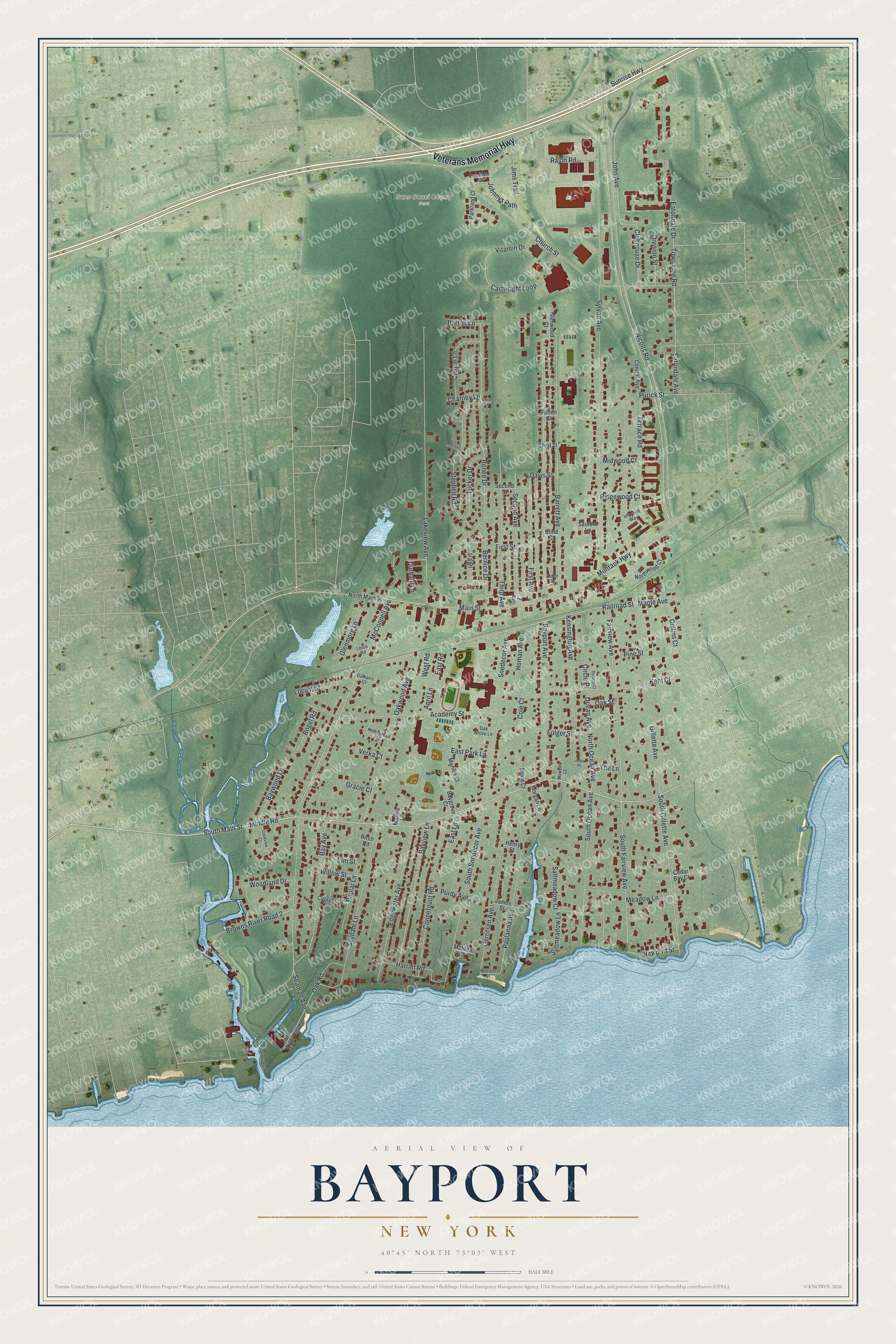
This beautifully detailed map of Bayport, New York was created in 2026 using aerial imagery combined with modern topographical, census, street and landmark data. It’s a one-of-a-kind view of Bayport that combines accurate data with a vintage aesthetic. The map shows every building in its true location, many of the roads carry their names, and the shaded topographic relief shows the shape of the land.
Explore an aerial view of Bayport, New York
On the map you’ll find Sans Souci County Park, along with Veterans Memorial Highway, Middle Road, Main Street, McConnell Avenue, Railroad Street, and more. If you look closely you can even find your house accurately drawn in its correct location. Zoom in on the preview to look for yours.
Did You Know?
The town’s firefighters organized on August 15, 1891, as a hose company of 18 members under Chief Charles Post. In 1896 the company purchased a ladder truck so heavy the members could not haul it. That truck created a new company, and the group became the Bayport Fire Department.
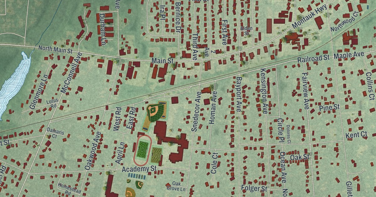
Take a closer look at the Bayport map
Names on this map
These names are printed on this map.
Places: Bayport Commons and Sans Souci County Park.
Streets and roads: Veterans Memorial Highway, Middle Road, South Main Street, McConnell Avenue, Railroad Street, South Gillette Avenue, South Fairview Avenue, Newport Street, Eatondale Avenue, Nicolls Road, Sunrise Highway, Sylvan Avenue.
More street names, A to Z
2 Avenue, Academy Street, Alden Street, Alexander Court, April Lane, Barrett Avenue, Barton Lane, Bay Avenue, Baygrove Court, Bayport Avenue, Bayview Lane, Baywood Lane, Belinda Lane, Bernice Drive, Birch Road, Bogel Road, Bond Street, Browns River Road 2, Browns River Road 3, Cartwright Loop, Cedar Bay Court, Central Avenue, Charney Lane, Church Street, Cinque Lane, Circle Place, Clubhouse Drive, Cole Court, Collins Court, Connetquot Road, Crestview Court, Cypress Street, Damaris Court, Davis Street, Division Street, Dolores Court, Durham Lane, East Lane, East Park Lane, East Road, Eatondale Drive, Edgewater Avenue, Elliot Street, Elm Street, Fairview Avenue, First Avenue, First Street, Folger Street, Fulton Street, Gerritsen Avenue, Gillette Avenue, Glenmore Lane, Glenwood Court, Gracie Court, Harriet Road, Henry Street, Homan Avenue, Homestead Road, Howells Court, Imperial Way, Ira Place, James Street, Jims Trail, John Avenue, Johnnys Path, Kensington Avenue, Kent Court, Lakeview Avenue, Linden Place, Locust Street, Lorie Lane, Lotus Road, Main Street, Maple Avenue, Marina Lane, Matilda Court, Meadow Lane, Midwood Court, Monica Court, Montauk Highway, Morgan Lane, North Main Street, North Ocean Avenue, Northwood Court, Oak Grove Lane, Oak Road, Oak Street, Oakwood Avenue, Ocean Avenue, Parkland Court, Paulanna Avenue, Pine Street, Poplar Lane, Purdy Avenue, Purick Street, Rajon Road, Renee Drive, Ridgewood Court, Saltmeadow Court, Saltmeadow Lane, Sauters Lane, Seaman Avenue, Second Avenue, Second Street, Slone Court, Snedecor Avenue, South Ocean Avenue, South Snedecor Avenue, Stephen Road, Suydam Lane, Terrace Road, The Lane, Third Avenue, Town Line Road, Tucker Drive, Verka Court, Vitamin Drive, West Road, William Street, Willow Street, Woodland Drive.
See it on a wall
The Bayport map as a framed print. Swipe for more.


This beautifully detailed map of Bayport makes an attractive addition to your office, library, or den, and it can even be used to teach children the geography and history of the area. It also makes a great gift for someone who left Bayport and still calls it home. When you’re done exploring, click here to get your copy of the Bayport map.