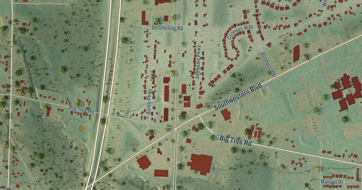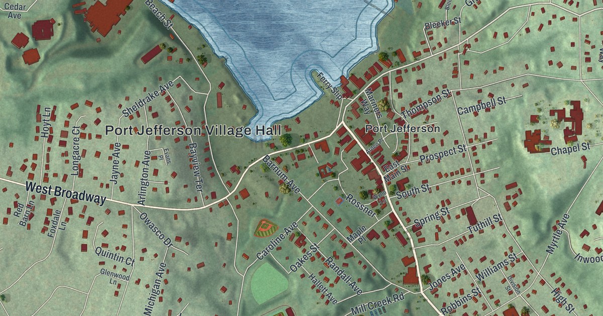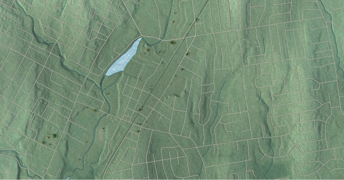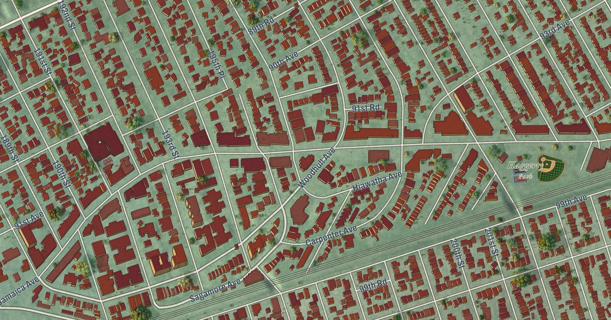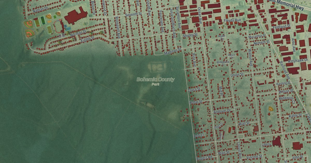
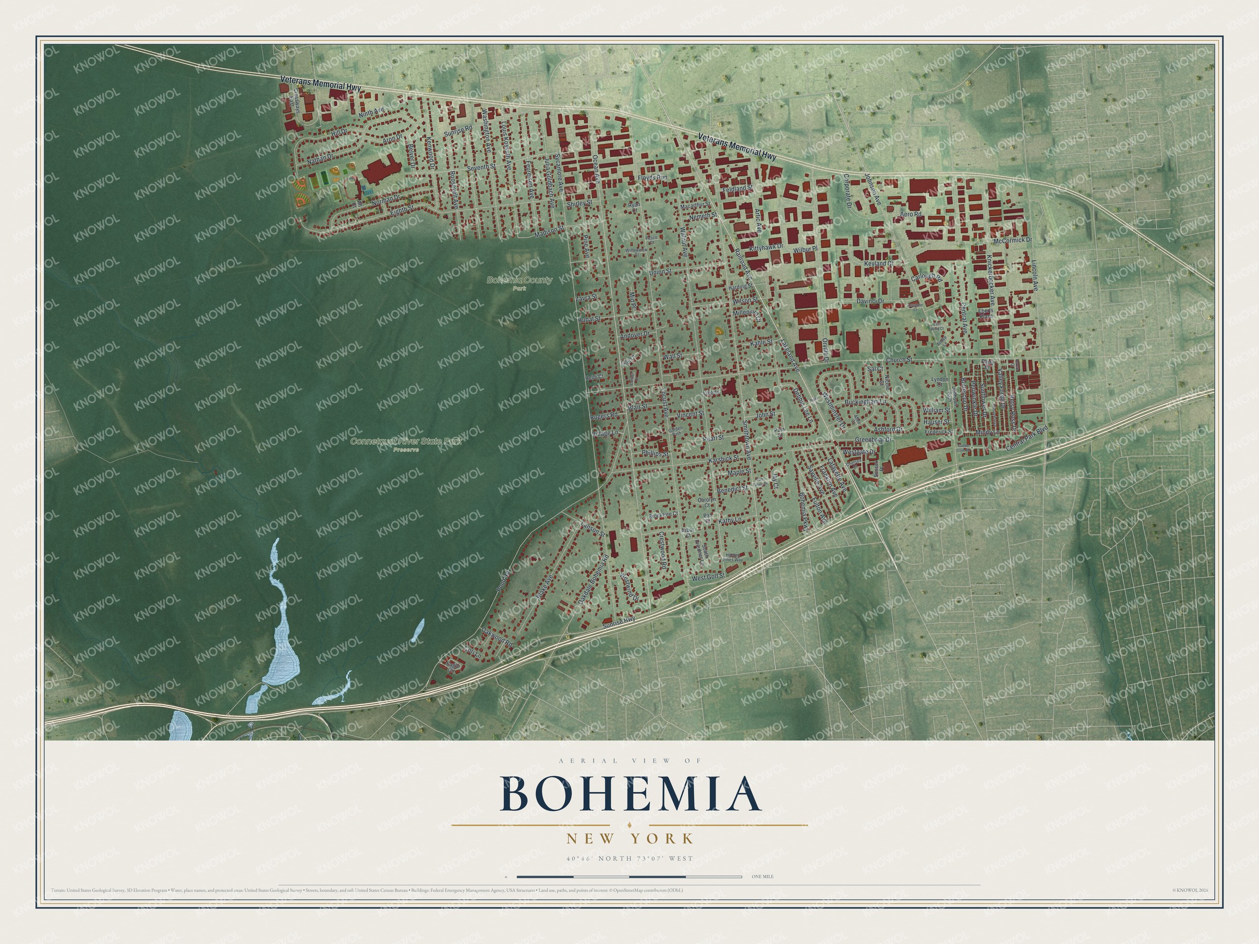
This beautifully detailed map of Bohemia, New York was created in 2026 using aerial imagery combined with modern topographical, census, street and landmark data. It’s a one-of-a-kind view of Bohemia that combines accurate data with a vintage aesthetic. The map shows every building in its true location, many of the roads carry their names, and the shaded topographic relief shows the shape of the land.
Explore an aerial view of Bohemia, New York
On the map you’ll find Bohemia County Park and Connetquot River State Park Preserve, along with Veterans Memorial Highway, Lakeland Avenue, Railroad Avenue, Artic Avenue, Debbie Lee Lane, and more. If you look closely you can even find your house accurately drawn in its correct location. Zoom in on the preview to look for yours.
Did You Know?
Slavic immigrants founded Bohemia in 1855, the first Europeans to settle here in large numbers. They came from a mountain village in the Kingdom of Bohemia, in today’s Czech Republic, and named the hamlet for their homeland. Many had fought in the 1848 revolutions. In New York, some men earned a living as street musicians.
Take a closer look at the Bohemia map
Names on this map
These names are printed on this map.
Places: Bohemia County Park and Connetquot River State Park Preserve.
Streets and roads: Veterans Memorial Highway, Lakeland Avenue, Railroad Avenue, Artic Avenue, Debbie Lee Lane, John Street, Smithtown Avenue, Bohemia Parkway, Kahle Street, Fulton Avenue, Ocean Avenue, Lincoln Avenue.
More street names, A to Z
Aero Road, Aft Court, Aimee Lane, Andover Drive, Arbor Court, Aron Drive, Ashford Drive, Atlee Court, Belver Drive, Benedict Street, Betsy Ross Drive, Blair Street, Blake Avenue, Brooktree Court, Buckingham Lane, Buttercup Drive, Carlough Road, Carolyn Court, Central Avenue, Central Park Boulevard, Chelsea Court, Church Street, Cori Lane, Corporate Drive, Cottage Drive, Crestwood Road, Crossways East, Daisy Drive, Davinci Drive, Eagle Circle, East Wind Court, Eberts Plaza, Eighth Street, Feldland Street, Feureisen Avenue, Floyds Run, Franklyn Avenue, Frederick Street, Garden Path, Greenbriar Drive, Harding Street, Hauser Street, Heidi Court, Hidden Pines Way, Hill Drive, Hubal Street, Inlet Court, Jay Court, Johnson Avenue, Johnson Path, Julia Goldbach Avenue, Karshick Street, Kathy Lane, Kenwood Drive, Keyland Court, Keystone Court, Kittyhawk Drive, Knickerbocker Avenue, Lafayette Avenue, Lanson Street, Liberty, Locust Avenue, Louis Kossuth Avenue, Lyndon Court, Macarthur Street, Madison Street, Maple Street, McCormick Drive, Mid Place, Millenium Court, Mindy Lane, Minuteman Drive, Nathan Drive, Nemeth Street, Nicole Court, Ninth Avenue, Norman Drive, Oakdale Bohemia Road, Oakwood Road, Orville Drive, Pam Court, Pat Court, Pearl Street, Periwinkle Drive, Pesce Court, Phillips Street, Pine Avenue, Piper Lane, Pond Road, Revere Drive, Rogers Road, Roosevelt Avenue, Ryan Court, Saddle Cove Road, Sal Court, Sayville Avenue, Seventh Street, Shirley Street, South Friedner Lane, Sunflower Drive, Sunrise Highway, Sunrise Road, Sussex Place, Sycamore Avenue, Tom Farino Drive, Union Street, Valley Forge Drive, Village Lane, Vincent Street, Wall Street, Walnut Avenue, Washington Avenue, Westgate Drive, West Golf Street, Westminster Drive, Westwind Drive, Wilbur Place, William Street, Willowview Court, Wilson Street, Zavra Street.
See it on a wall
The Bohemia map as a framed print. Swipe for more.


This beautifully detailed map of Bohemia makes an attractive addition to your office, library, or den, and it can even be used to teach children the geography and history of the area. It also makes a great gift for anyone who grew up in Bohemia or moved away. When you’re done exploring, click here to get your copy of the Bohemia map.