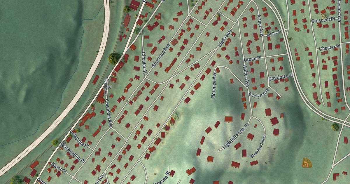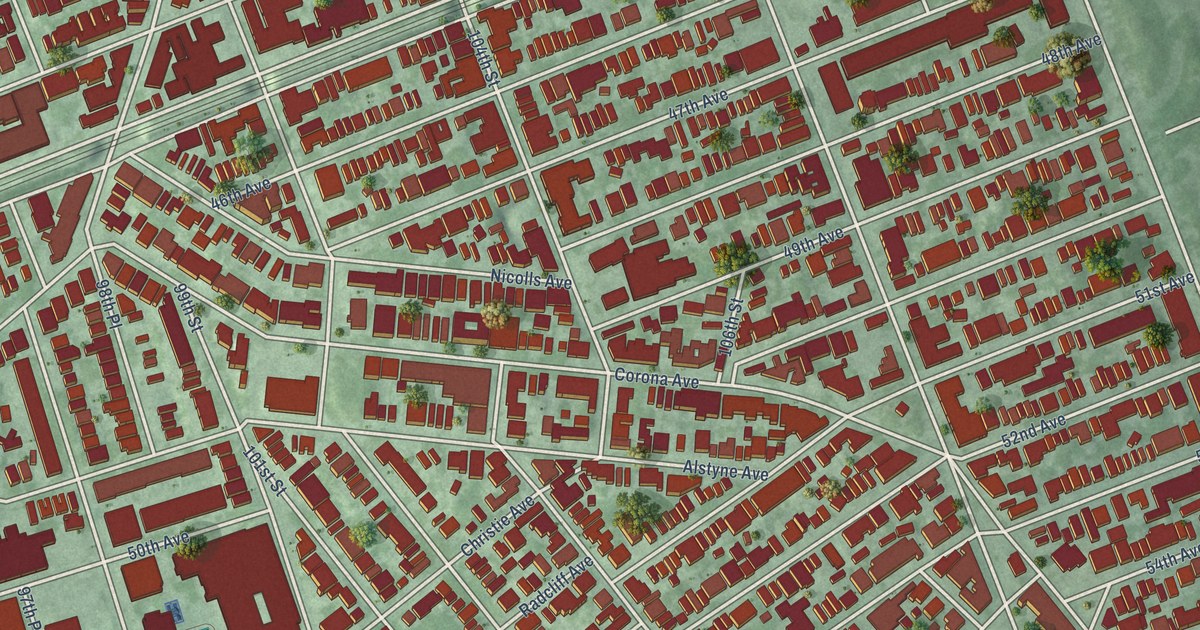
This beautifully detailed map of Corona, New York was created in 2026 using aerial imagery combined with modern topographical, census, street and landmark data. It’s a one-of-a-kind view of Corona that combines accurate data with a vintage aesthetic. The map shows every building in its true location, many of the roads carry their names, and the shaded topographic relief shows the shape of the land.
Explore an aerial view of Corona, New York
On the map you’ll find Lefrak City, along with Horace Harding Expressway, 100th Street, 44th Avenue, National Street, Corona Avenue, 108th Street, 41st Avenue, 43rd Avenue, 42nd Avenue, 99th Street, 102nd Street, and more. If you look closely you can even find your house accurately drawn in its correct location. Zoom in on the preview to look for yours.
Did You Know?
From Internet Archive: "For eight years he was active in insurance affairs, then established himself in the building business in Corona, Long Island, at the corner of Jackson Avenue and Ferryfourth Street."
Corona is a place in Queens County.
Take a closer look at the Corona map
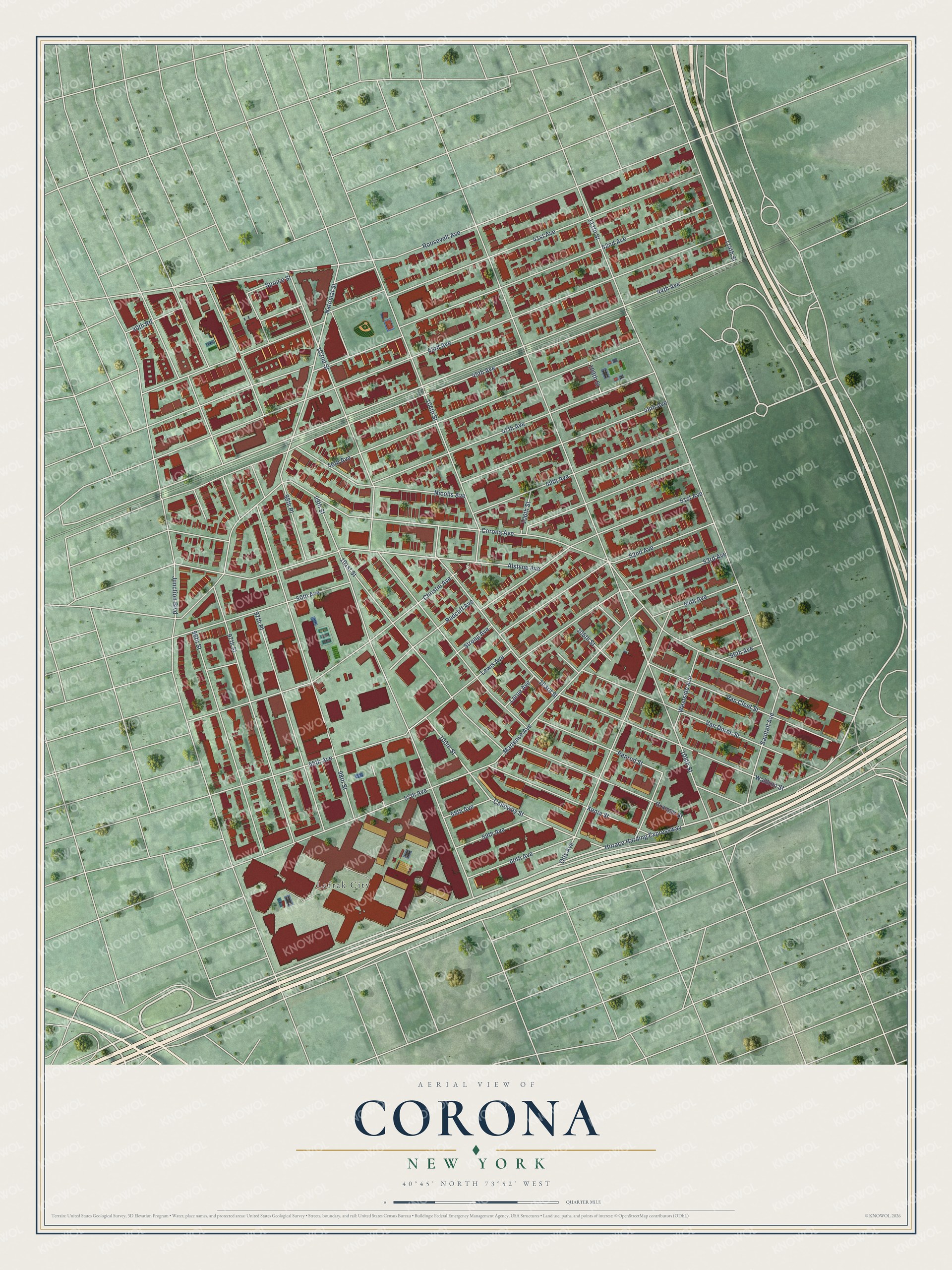
Names on this map
These names are printed on this map.
Places: Lefrak City.
Streets and roads: Horace Harding Expressway, 100th Street, 44th Avenue, National Street, Corona Avenue, 108th Street, 41st Avenue, 43rd Avenue, 42nd Avenue, 99th Street, 102nd Street, 45th Avenue.
More street names, A to Z
40th Road, 46th Avenue, 47th Avenue, 48th Avenue, 49th Avenue, 50th Avenue, 51st Avenue, 52nd Avenue, 53rd Avenue, 54th Avenue, 55th Avenue, 56th Avenue, 57th Avenue, 58th Avenue, 59th Avenue, 60th Avenue, 96th Street, 97th Place, 97th Street, 98th Place, 98th Street, 101st Street, 103rd Street, 104th Street, 105th Street, 106th Street, 109th Street, 111th Street, 114th Street, Alstyne Avenue, Calloway Street, Christie Avenue, Granger Street, Junction Boulevard, Larue Avenue, Lewis Avenue, Martense Avenue, Nicolls Avenue, Otis Avenue, Penrod Street, Radcliff Avenue, Roosevelt Avenue, Saultell Avenue, Spruce Street, Strong Avenue, Van Cleef Street, Van Doren Street, Waldron Street, Westside Avenue, Xenia Street.
See it on a wall
The Corona map as a framed print. Swipe for more.


This beautifully detailed map of Corona makes an attractive addition to your office, library, or den, and it can even be used to teach children the geography and history of the area. It also makes a great gift for anyone who grew up in Corona or moved away. When you’re done exploring, click here to get your copy of the Corona map.