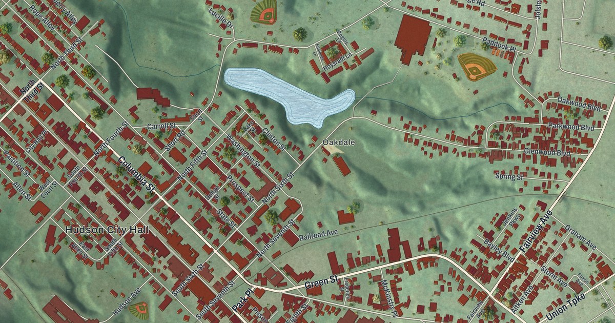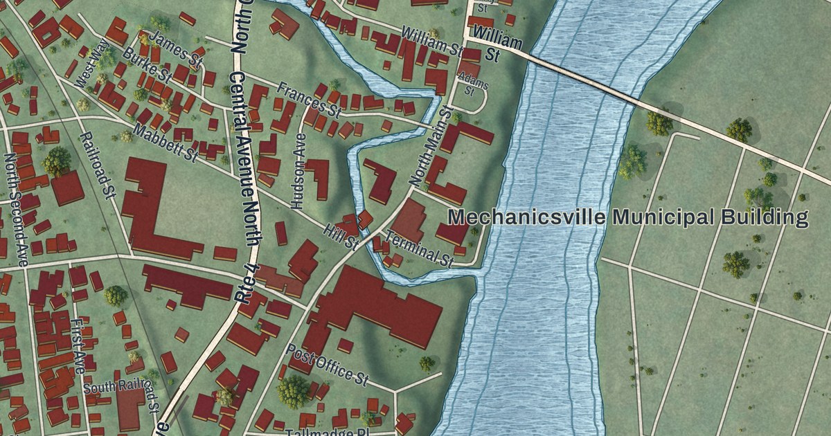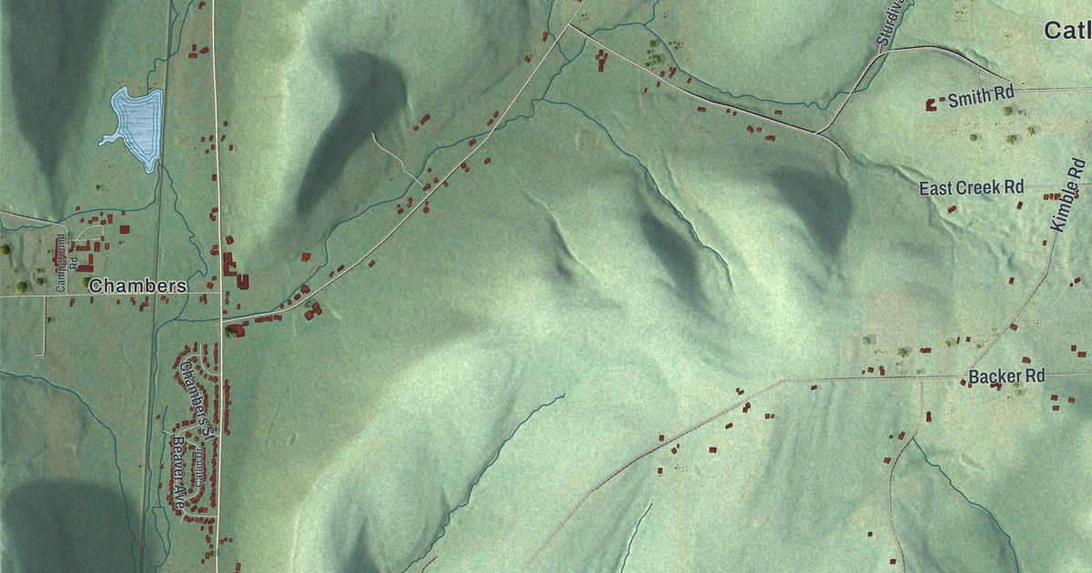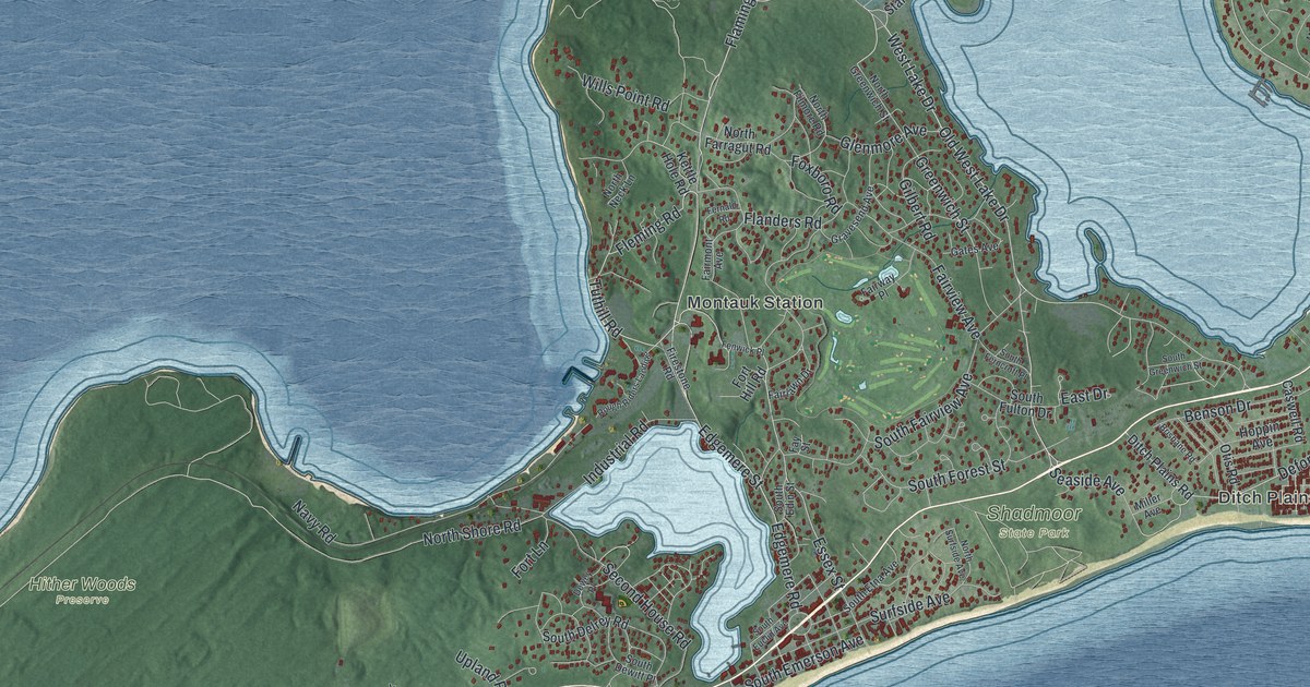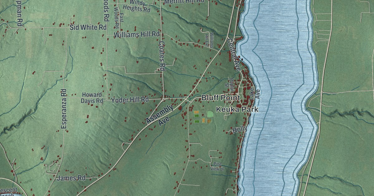
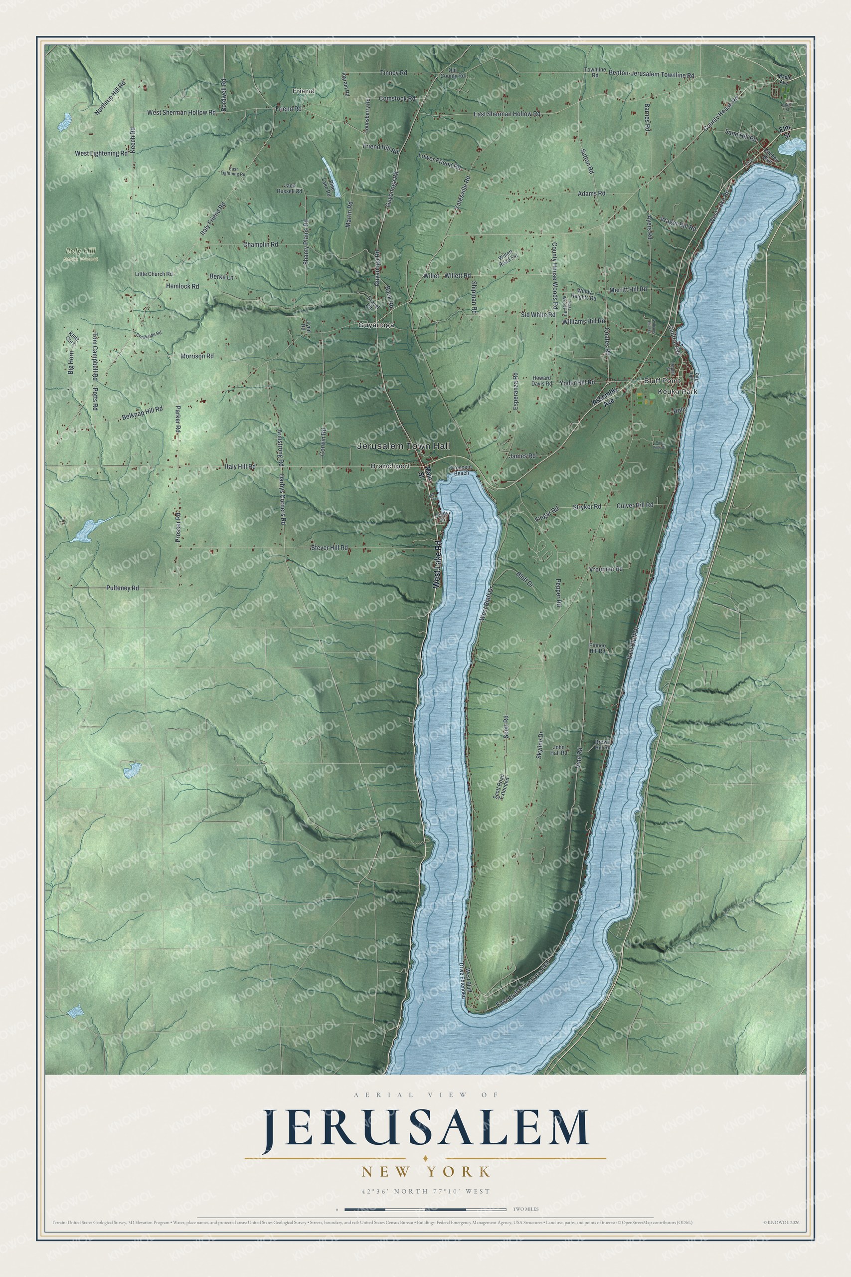
This beautifully detailed map of Jerusalem, New York was created in 2026 using aerial imagery combined with modern topographical, census, street and landmark data. It’s a one-of-a-kind view of Jerusalem that combines accurate data with a vintage aesthetic. The map shows every building in its true location, many of the roads carry their names, and the shaded topographic relief shows the shape of the land.
Explore an aerial view of Jerusalem, New York
On the map you’ll find Jerusalem Town Hall, Friend, Bluff Point, Branchport, Guyanoga, Keuka Park, and Italy Hill State Forest, along with Lake Road, Assembly Avenue, Main Street, Elm Street, and more. If you look closely you can even find your house accurately drawn in its correct location. Zoom in on the preview to look for yours.
Did You Know?
The town took its name from the city of Jerusalem. Settlers arrived around 1791. Among the very first was a Quaker preacher called the Public Universal Friend, who came with a band of followers. They called themselves the Society of Universal Friends.
Take a closer look at the Jerusalem map
Names on this map
These names are printed on this map.
Places: Jerusalem Town Hall, Friend, Italy Hill State Forest, Bluff Point, Branchport, Guyanoga and Keuka Park.
Streets and roads: West Lake Road, Central Avenue, Sutton Road, Coates Road, Benton-Jerusalem Townline Road, Skyline Drive, County House Road, Prosser Road, Yoder Hill Road, Vine Road, Stryker Road, Darbys Corners Road.
More street names, A to Z
Adams Road, Armstrong Road, Assembly Avenue, Ayers Road, Back Road, Barnes Road, Belknap Hill Road, Berke Lane, Big Horn, Bluff Drive, Bordwell Road, Brown Hill Road, Champlin Road, Comstock Road, Corwin Road, County House Woods Road, Court Street, Creekside Road, Crescent Beach, Culver Hill Road, East Bluff Drive, East Bluff Drive Extended, East Lightning Road, East Sherman Hollow Road, East Woods Road, Elm Street, Esperanza Road, Fingar Road, Friend Hill Road, Friend Road, Gravel Pit, Guyanoga Road, Guyonoga Road, Hemlock Road, Holly, Howard Davis Road, Ingram Road, Italy Friend Road, Italy Hill Road, Jack Russell Road, James Road, John Hall Road, Keech Road, Klutz Cors, Lake Avenue, Little Church Road, Lounsberry Road, Lower Friend Road, Lynn Road, Main Street, Maple Avenue, Martin Road, Merritt Hill Road, Mill Street, Morrison Road, Northrup Hill Road, Old County Road, Parker Road, Pepper Road, Pine Lake Road, Pine View Drive, Pinneo Hill Road, Poplar Street, Potts Road, Pulteney Road, Ritchey Boulevard, Sand Hill Road, Scott Road, Scott Road Extended, Shanty Plains Road, Shipman Road, Sid White Road, Stever Hill Road, Sylvan Road, Teddi Lane, Tinney Road, Tom Campbell Road, Townline Road, Vrooman Road, Wager Hill Road, West Bluff Drive, West Bluff Drive Extended, West Lightening Road, West Sherman Hollow Road, Willet, Willett Road, Willett Road Extension, Williams Hill Extension, Williams Hill Road, Windy Heights Road, Yatesville Road.
See it on a wall
The Jerusalem map as a framed print. Swipe for more.


This beautifully detailed map of Jerusalem makes an attractive addition to your office, library, or den, and it can even be used to teach children the geography and history of the area. It also makes a great gift for someone who left Jerusalem and still calls it home. When you’re done exploring, click here to get your copy of the Jerusalem map.