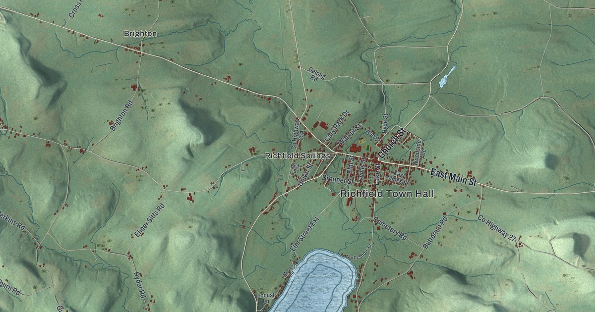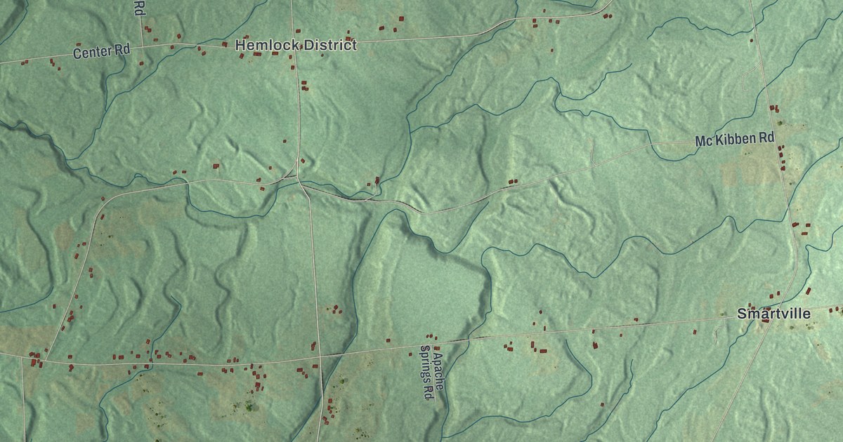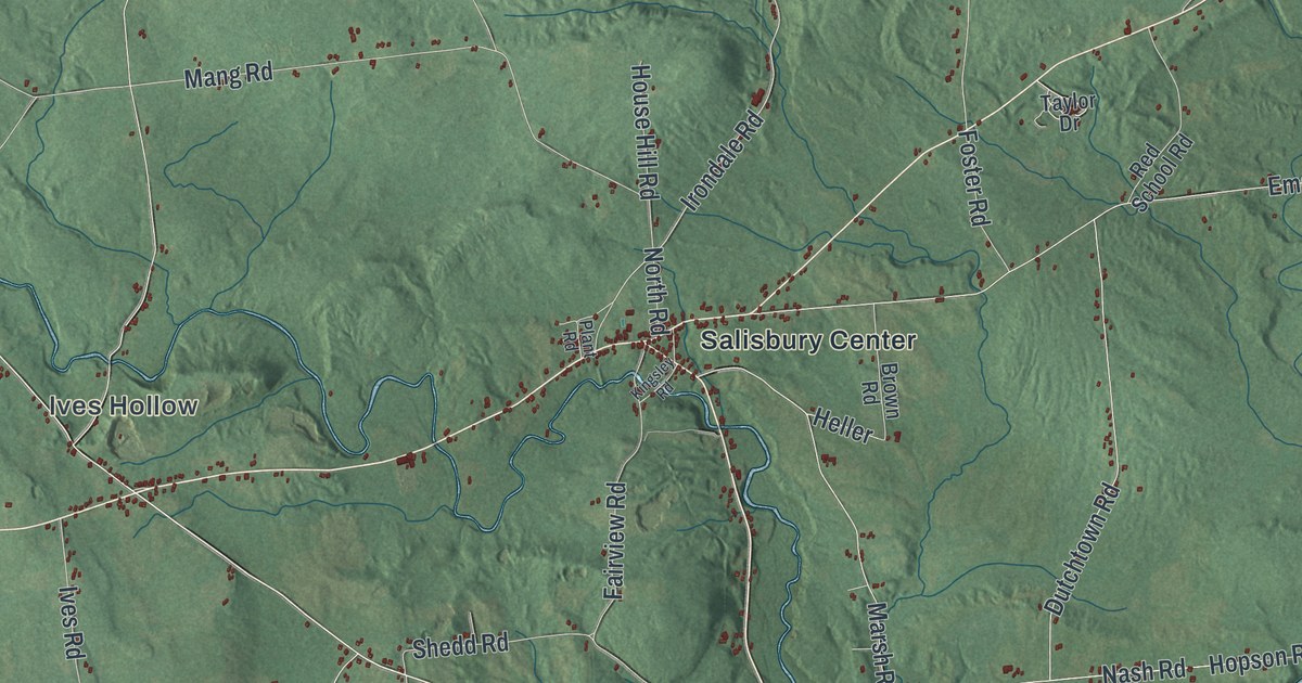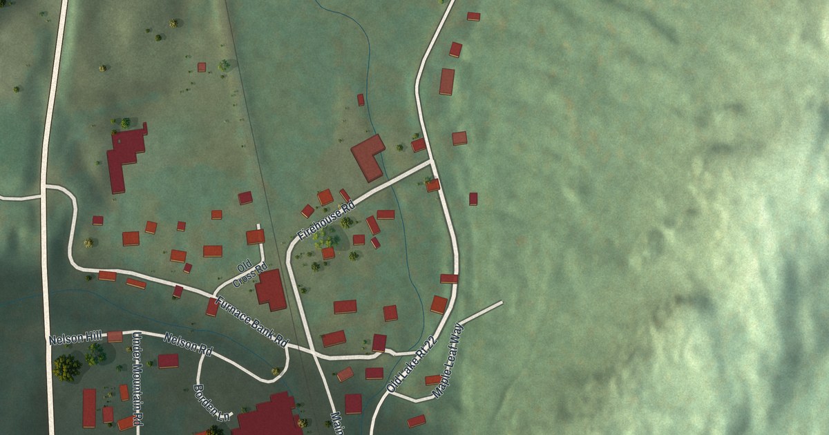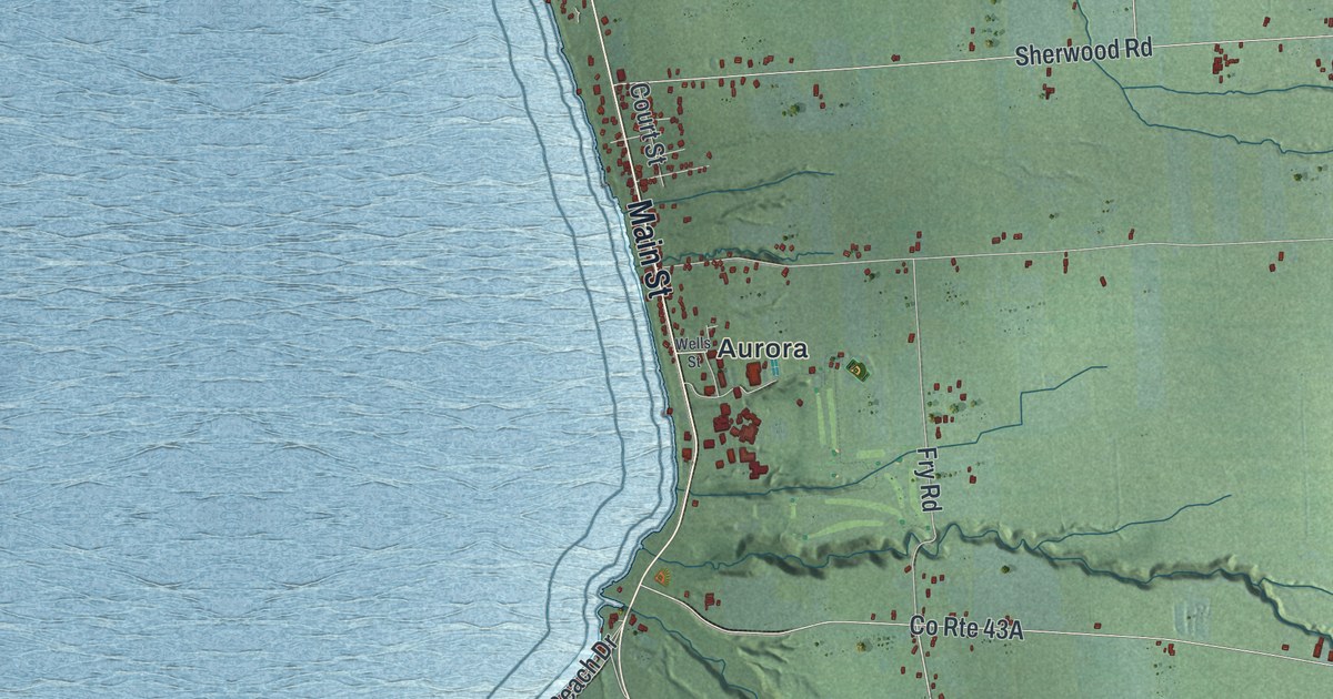
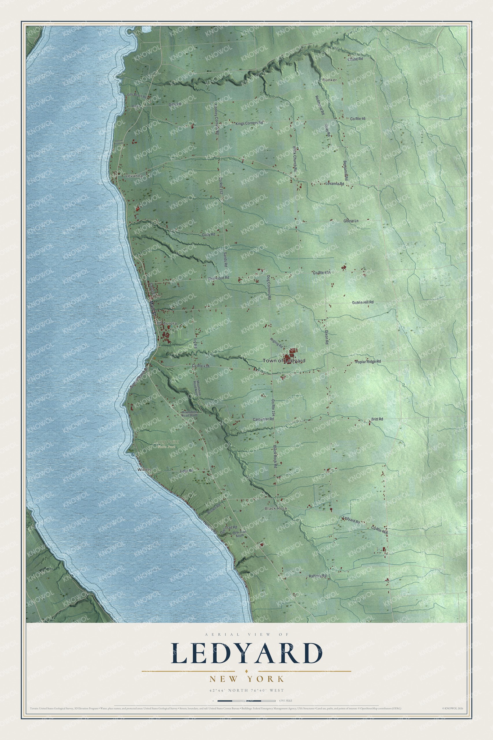
This beautifully detailed map of Ledyard, New York was created in 2026 using aerial imagery combined with modern topographical, census, street and landmark data. It’s a one-of-a-kind view of Ledyard that combines accurate data with a vintage aesthetic. The map shows every building in its true location, many of the roads carry their names, and the shaded topographic relief shows the shape of the land.
Explore an aerial view of Ledyard, New York
On the map you’ll find Bunker, Black Rock, Aurora, Levanna, Willets, and Long Point State Park, along with Main Street, Levanna Road, Black Rock Road, Dixon Road, Poplar Ridge Road, and more. If you look closely you can even find your house accurately drawn in its correct location. Zoom in on the preview to look for yours.
Did You Know?
Ledyard honors General Benjamin Ledyard, a Revolutionary War officer who was one of its early settlers. Its southern part lay in the Military Tract, while the north was first set aside as a Cayuga reservation. Settlers arrived around 1789, and the town split from Scipio in 1823.
Take a closer look at the Ledyard map
Names on this map
These names are printed on this map.
Places: Town of Ledyard, Bunker, Black Rock, Long Point State Park, Aurora, Levanna and Willets.
Streets and roads: Main Street, Levanna Road, Black Rock Road, Dixon Road, Poplar Ridge Road, County Route 46, Kings Corners Road, Sherwood Road, County Route 154, Dublin Hill Road, Honoco Road, Dills Road.
More street names, A to Z
Angling Road, Benjamin Road, Brick Church Road, Britt Road, Brown Road, Carpenter Road, Chase Road, Cooney Corners Road, County Route 152, Court Street, Deer Trail Road, Deer Trail South, Dills Beach Road, Dog Corners Road, Fry Road, Goose Lane, Gray Road, Gully Road, Lake Road, Ledyard Road, Millstone Lane, Moonshine Road North, Moonshine Road South, Rafferty Road, Redmond Road, Sands Road, Slocum Private Drive, Sunset Beach Drive, Wells Street.
See it on a wall
The Ledyard map as a framed print. Swipe for more.


This beautifully detailed map of Ledyard makes an attractive addition to your office, library, or den, and it can even be used to teach children the geography and history of the area. It also makes a great gift for anyone with Ledyard roots. When you’re done exploring, click here to get your copy of the Ledyard map.