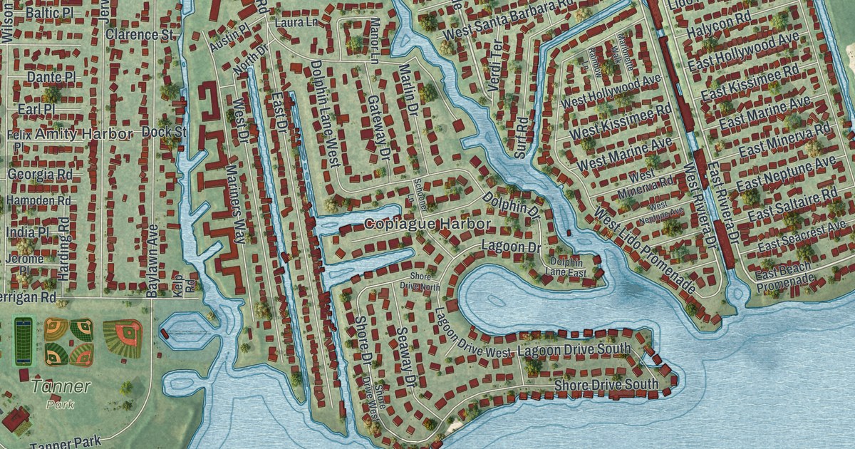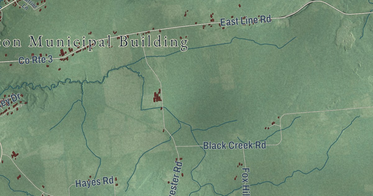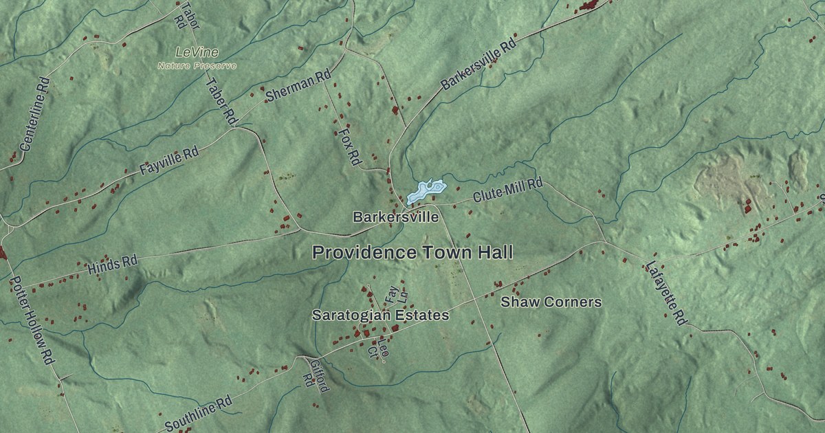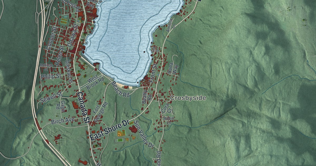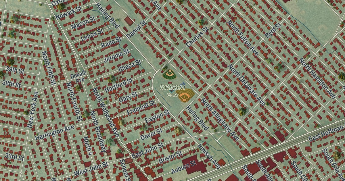
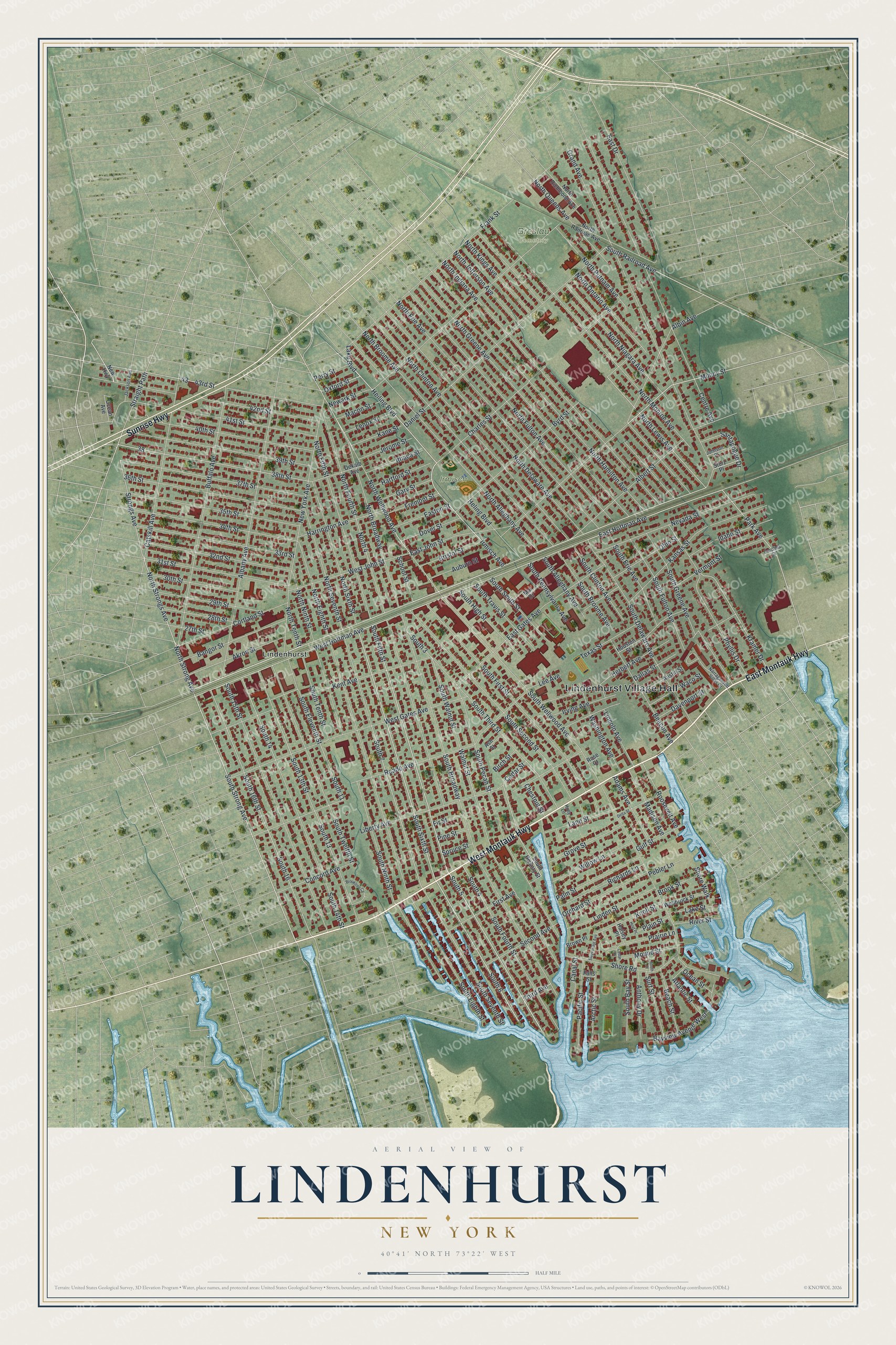
This beautifully detailed map of Lindenhurst, New York was created in 2026 using aerial imagery combined with modern topographical, census, street and landmark data. It’s a one-of-a-kind view of Lindenhurst that combines accurate data with a vintage aesthetic. The map shows every building in its true location, many of the roads carry their names, and the shaded topographic relief shows the shape of the land.
Explore an aerial view of Lindenhurst, New York
On the map you’ll find Lindenhurst Village Hall, Breslau Cemetery, and Irmisch Park, along with Montauk Highway, Sunrise Highway, Fifth Street, Sixth Street, and more. If you look closely you can even find your house accurately drawn in its correct location. Zoom in on the preview to look for yours.
Did You Know?
Lindenhurst was founded in 1873 under the name Breslau. Its first German settlers came from the city of Breslau in Silesia, which is now Wroclaw, Poland. The community took the name Lindenhurst in 1891. Residents voted to incorporate as a village in 1923.
Take a closer look at the Lindenhurst map
Names on this map
These names are printed on this map.
Places: Lindenhurst Village Hall, Breslau Cemetery, Irmisch Park and Lindenhurst.
Streets and roads: West Montauk Highway, East Montauk Highway, Sunrise Highway, South Fifth Street, South Sixth Street, South Strong Avenue, Irmisch Avenue, Heling Boulevard, Heiling Boulevard, Oxford Street, Lake Boulevard, Muncy Street.
More street names, A to Z
27th Street, 28th Street, 29th Street, 30th Street, 31st Street, 32nd Street, 33rd Street, 34th Street, 35th Street, 36th Street, 37th Street, 38th Street, 39th Street, 40th Street, 41st Street, 42nd Street, 43rd Street, Adams Avenue, Akron Street, Albany Avenue, Albert Street, Albin Avenue, Anthony Drive, Arctic Street, Ash Street, Atlantic Street, Auburn Street, Austin Street, Bangor Street, Bayview Avenue West, Beach Street, Beacon Avenue, Birch Street, Bristol Street, Brook Street, Brooktree Circle, Brown Place, Buffalo Avenue, Byrd Street, Canal Street, Carolina Street, Catskill Avenue, Cedar Place, Cedar Street, Centre Avenue, Charles Street, Chestnut Street, Concord Avenue, Cortland Street, Dallas Street, Daniel Street, Davenport Street, Dekalb Avenue, Delta Street, Dover Street, East Drive, East Gates Avenue, East Hoffman Avenue, East John Street, Easton Street, Falls Street, First Avenue, Fir Street, Frank Street, Fremont Street, Gary Street, Grand Avenue, Grove Street, Gulf Street, Halsey Place, Harrington Avenue, Hartford Street, Herbert Avenue, Holly Lane, Houston Street, Hoyt Place, Idaho Street, Irving Avenue, Ithaca Street, Jackson Avenue, Jerome Street, Johnson Place, Kane Street, Kansas Street, Kent Avenue, Knoll Street, Kramer Drive, Lake Street, Lane Street, Lee Avenue, Lenox Street, Liberty Avenue, Lincoln Avenue, Linden Street, Macon Street, Madison Avenue, Mal Drive, Mound Street, Narragansett Villas Drive, Nevada Street, Newark Street, New Highway, New York Avenue, North 4, North Alleghany Avenue, North Broadway, North Broome Avenue, North Clinton Avenue, North Delaware Avenue, North Eighth Street, North Erie Avenue, North Fifth Street, North Fourth Street, North Fulton Avenue, North Greene Avenue, North Hamilton Avenue, North Indiana Avenue, North Jefferson Avenue, North Kings Avenue, North Lewis Avenue, North Monroe Avenue, North Niagara Avenue, North Ninth Street, North Ontario Avenue, North Putnam Avenue, North Queens Avenue, North Railroad Avenue, North Richmond Avenue, North Seventh Street, North Sixth Street, North Strong Avenue, North Strongs Avenue, North Tenth Street, North Wellwood Avenue, Ocean Avenue, Ocean Street, Ohio Street, Orchard Street, Pacific Street, Palm Street, Park Avenue, Pebler Lane, Perry Street, Phyllis Drive, Pine Street, Plain Street, Prairie Lane, Reade Avenue, Richards Lane, River Street, Roosevelt Avenue, Rose Court, Santapogue Drive, School Street, Second Avenue, Shore Road, Shore Walk, South 3, South 4, South 5, South 6, South 7, South 11, South 13, South 13th Street, South 14, South 14th Street, South 15th Street, South 16, South 16th Street, South Alleghany Avenue, South Bay Street, South Broadway, South Broome Avenue, South Clinton Avenue, South Delaware Avenue, South Eighth Street, South Eleventh Street, South Erie Avenue, South First Street, South Fourth Street, South Fulton Avenue, South Greene Avenue, South Hickory Street, South High Street, South Ninth Street, South Pecan Street, South Pennsylvania Avenue, South Place, South Railroad Avenue, South Second Street, South Seventh Street, South Smith Street, South Tenth Street, South Third Street, South Travis Street, South Twelfth Street, South Walnut Street, South Wellwood Avenue, Spruce Street, Storz Place, Straight Path, Strongs Avenue, Stuyvesant Avenue, Surf Street, Texas Street, Third Avenue, Vermont Street, Waco Street, Walnut Street, Washington Avenue, Wellbrock Street, West Gates Avenue, West Hoffman Avenue, West John Street, Willow Lane.
See it on a wall
The Lindenhurst map as a framed print. Swipe for more.


This beautifully detailed map of Lindenhurst makes an attractive addition to your office, library, or den, and it can even be used to teach children the geography and history of the area. It also makes a great gift for someone who left Lindenhurst and still calls it home. When you’re done exploring, click here to get your copy of the Lindenhurst map.