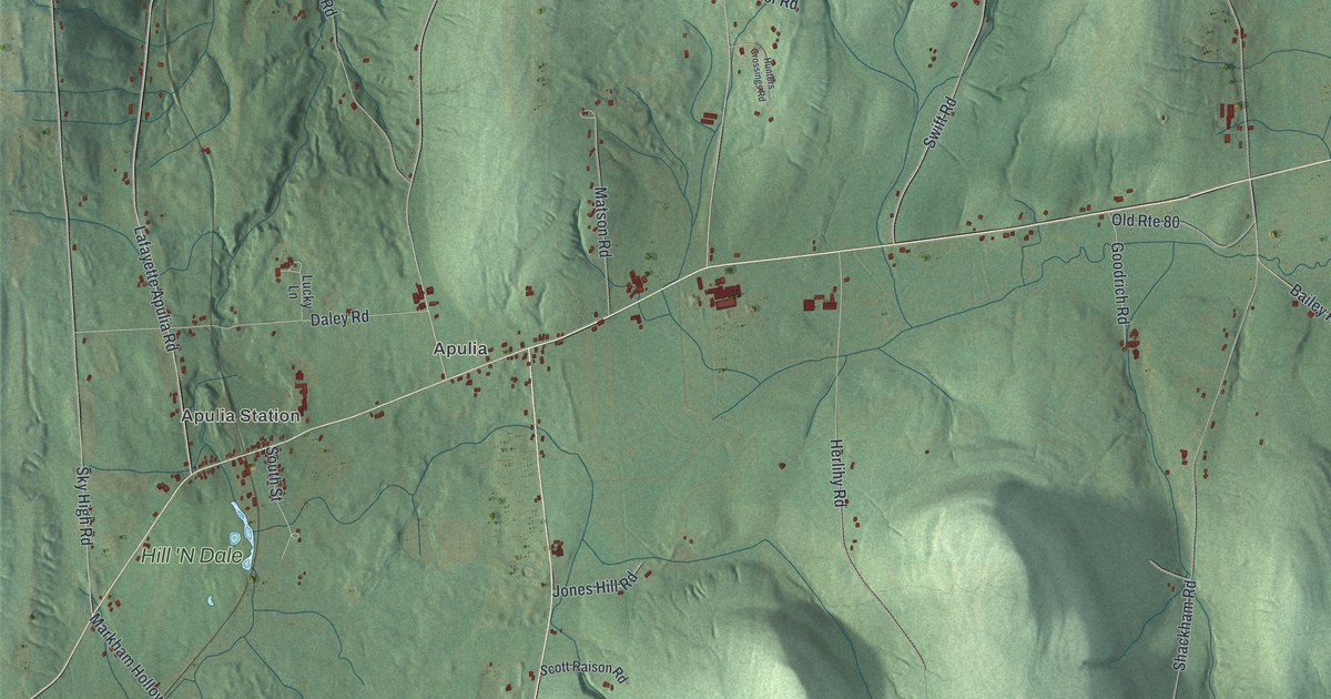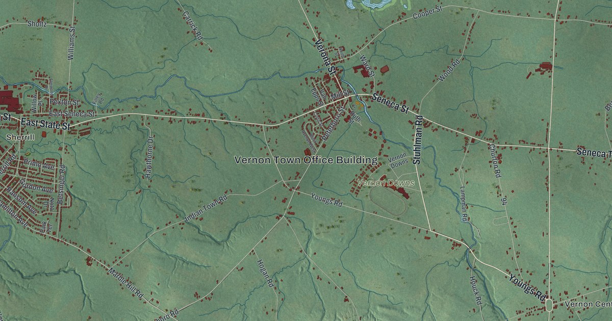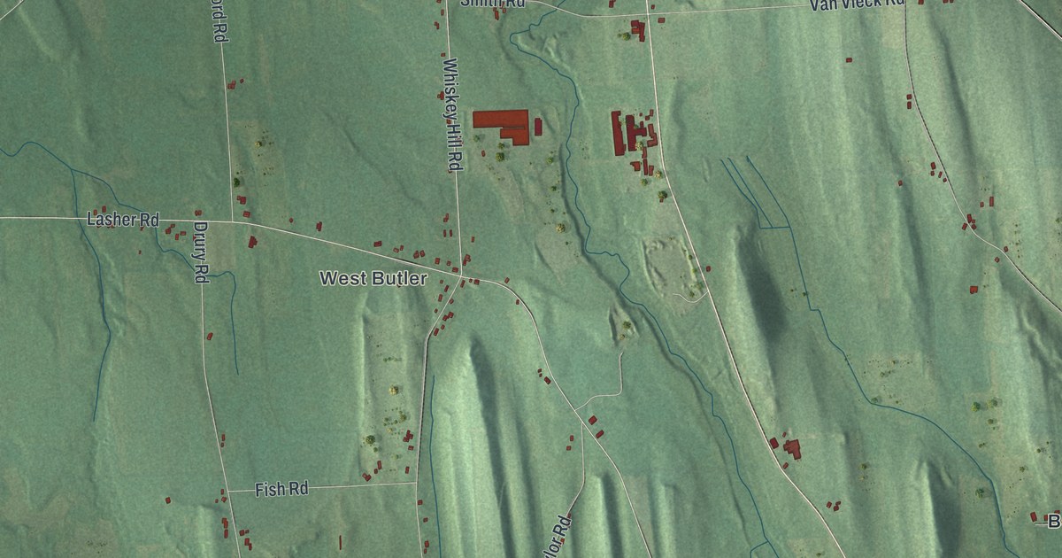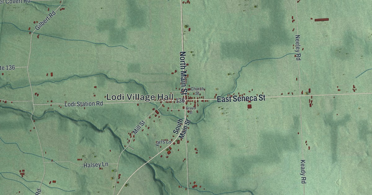
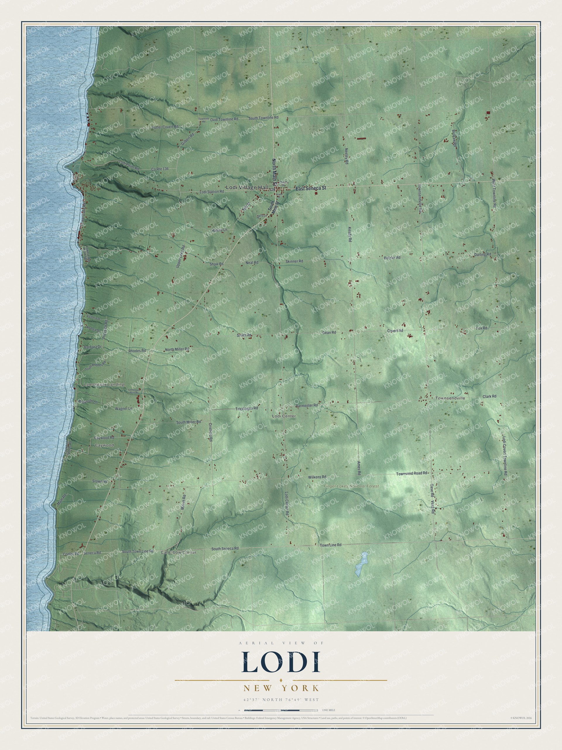
This beautifully detailed map of Lodi, New York was created in 2026 using aerial imagery combined with modern topographical, census, street and landmark data. It’s a one-of-a-kind view of Lodi that combines accurate data with a vintage aesthetic. The map shows every building in its true location, many of the roads carry their names, and the shaded topographic relief shows the shape of the land.
Explore an aerial view of Lodi, New York
On the map you’ll find Lodi Village Hall, Cat Elbow Corner, Lamoreaux Landing, Townsendville, Caywood, Lodi Center, and Finger Lakes National Forest, along with Seneca Street, Main Street, Seneca Road, Town Line Road, and more. If you look closely you can even find your house accurately drawn in its correct location. Zoom in on the preview to look for yours.
Did You Know?
Lodi split off from the town of Covert in 1826. Its post office opened in 1820 as De Mott’s Corners, named after the local postmaster and shopkeeper. In 1829 the office took the name Lodi. The town and its village were both named after the Italian city of Lodi.
Take a closer look at the Lodi map
Names on this map
These names are printed on this map.
Places: Lodi Village Hall, Cat Elbow Corner, Lamoreaux Landing, Townsendville, Caywood, Lodi Center and Finger Lakes National Forest.
Streets and roads: East Seneca Street, North Main Street, Seneca Road, South Town Line Road, County Route 136, Lodi Station Road, Ames Road, Keady Road, Townsend Road Road, Neeley Road, South Seneca Road, Ovid Townline Road.
More street names, A to Z
Anderson Lane, Andrea Drive, Barbara Drive, Betzler Road, Brokaw Road, Case Road, Caywood Road, Caywood Shores Road, Church Street, Clark Road, Confer Road, Covert Road, Crisfield Road, Darling Road, Dean Road, Farrs Lane, Fox Road, Gilbert Road, Grove Street, Halsey Lane, Lamoreaux Point Road, Lodi Center Road, Lodi Covert Townline Road, Lodi Point Road, Lower Lake Road, Lower Lake Road Spr, Mam Road, Marsh Road, Mill Street, Neal Road, North Miller Road, Old Lake Road, Parmenter Road, Porter Covert Road, Prossick Road, Rhodes Road, Shaw Road, Skinner Road, Smith Road, South Main Street, South Miller Road, South Rhodes Road, South Townline Road, Stowe Road, Town Line Road, Townline Road, Townsendville Road, Traphagen Road, Upper Lake Road, Vesa Road, Victoria Drive, Wagner Lane, West Townline Road, Wilkens Road.
See it on a wall
The Lodi map as a framed print. Swipe for more.


This beautifully detailed map of Lodi makes an attractive addition to your office, library, or den, and it can even be used to teach children the geography and history of the area. It also makes a great gift for someone who left Lodi and still calls it home. When you’re done exploring, click here to get your copy of the Lodi map.