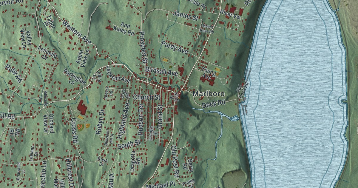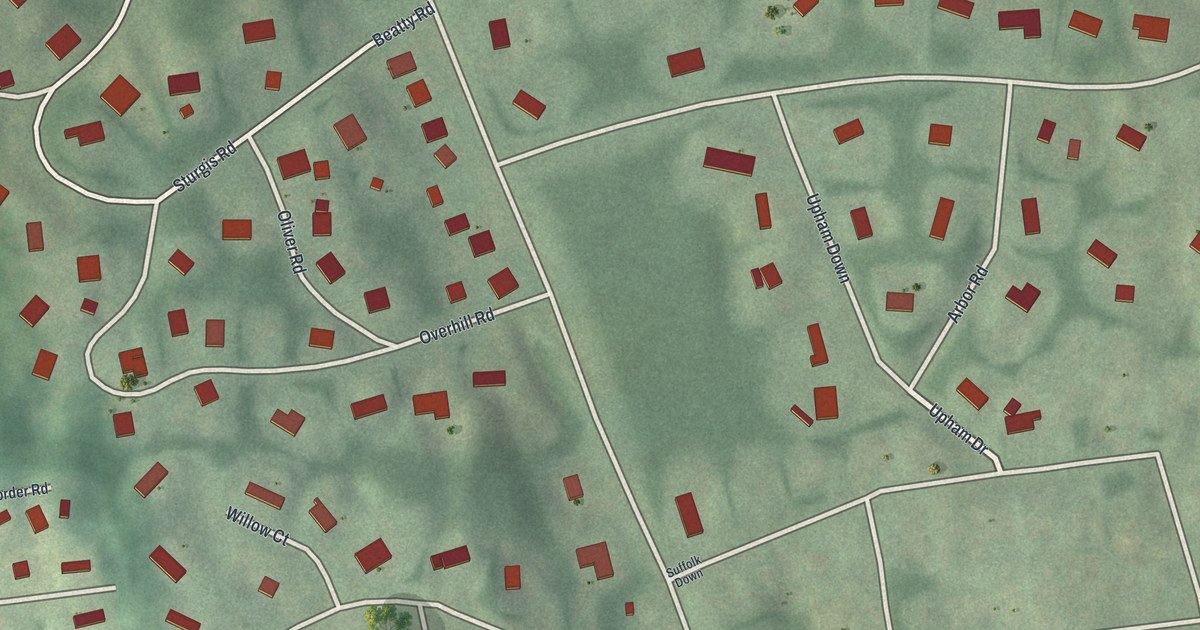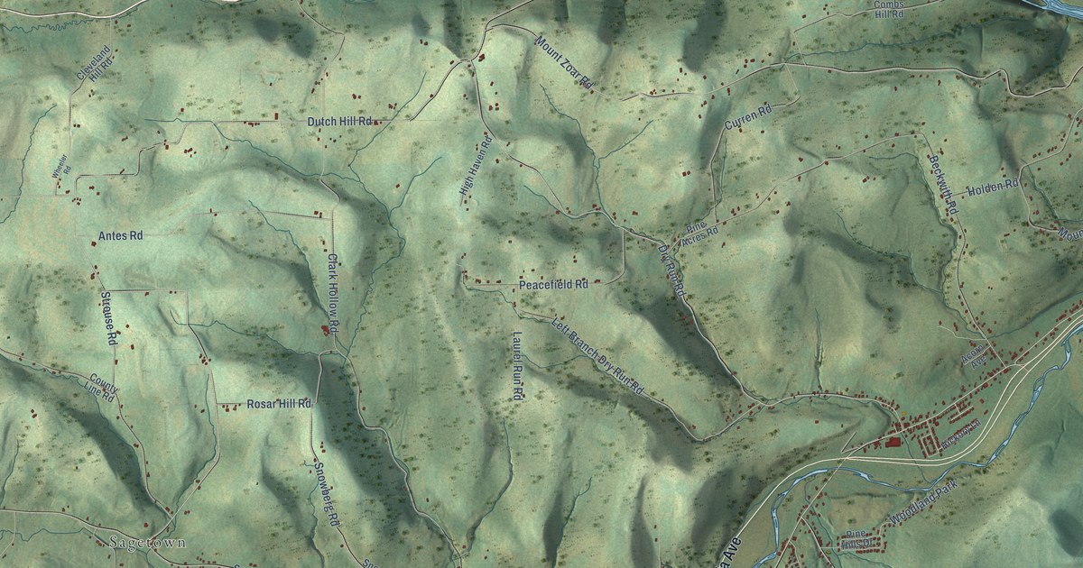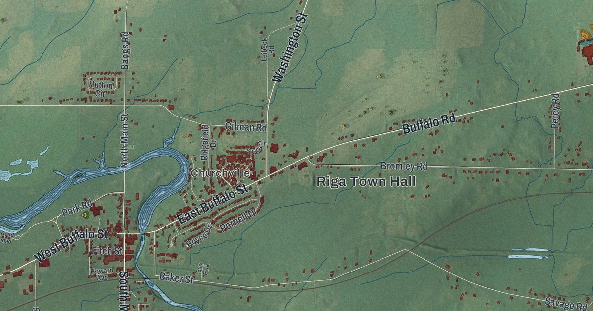
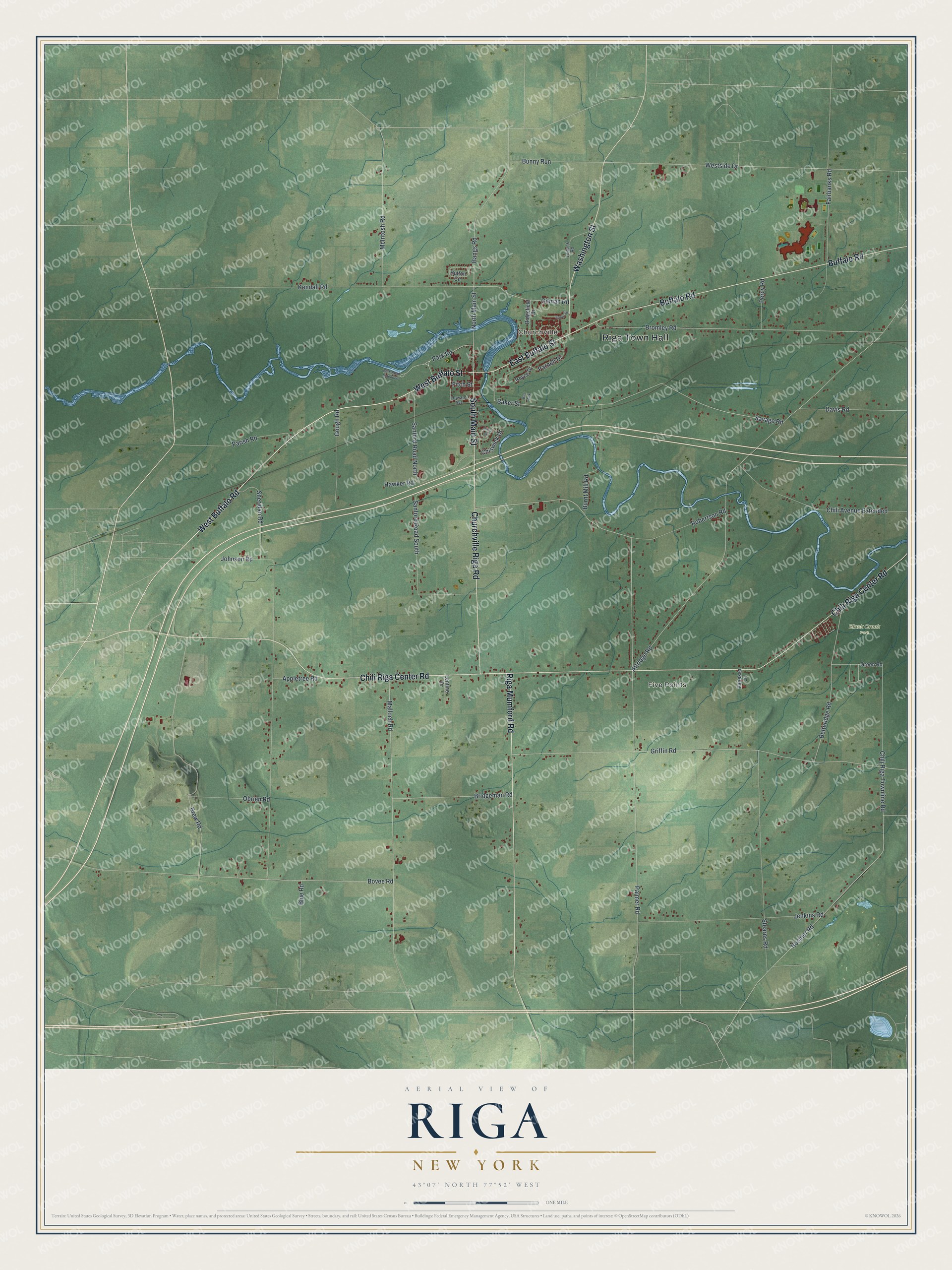
This beautifully detailed map of Riga, New York was created in 2026 using aerial imagery combined with modern topographical, census, street and landmark data. It’s a one-of-a-kind view of Riga that combines accurate data with a vintage aesthetic. The map shows every building in its true location, many of the roads carry their names, and the shaded topographic relief shows the shape of the land.
Explore an aerial view of Riga, New York
On the map you’ll find Riga Town Hall, Churchville, Five Points, and Black Creek Park, along with Buffalo Road, Buffalo Street, Main Street, Chili Riga Center Road, and more. If you look closely you can even find your house accurately drawn in its correct location. Zoom in on the preview to look for yours.
Did You Know?
In 1802 this land fell within two towns honoring Sir William Pulteney of England. In 1808 they were renamed East and West Riga. The town of Riga was formed in 1809. Locally the name is said RYE-ga, not REE-ga like the capital of Latvia.
Take a closer look at the Riga map
Names on this map
These names are printed on this map.
Places: Riga Town Hall, Churchville, Five Points, Black Creek Park and Bus Park.
Streets and roads: West Buffalo Road, West Buffalo Street, South Main Street, East Buffalo Street, Chili Riga Center Road, Buffalo Road, Riga Mumford Road, Churchville Riga Road, Washington Street, Chili Riga Townline Road, North Main Street, Bovee Road.
More street names, A to Z
Alicia Circle, Appletree Road, Attridge Road, Baker Street, Bangs Road, Betteridge Road, Blue Road, Brew Road, Bridgeman Road, Bromley Road, Bunny Run, Burnt Mill Road, Chili Avenue Extended, Chiswick Drive, Davis Road, Fairbanks Road, Fitch Street, Gilman Road, Gough Road, Green Road, Griffin Road, Hawker Road, Hosmer Road, Howard Avenue, Hutton Circle, Jenkins Road, Johnson Road, Kendall Road, Leibeck Road, Lentine Drive, Malloch Road, McIntosh Road, Obrien Road, Palmer Road, Parish Road, Park Road, Park Road Extended, Parnell Drive, Percy Road, Ridgefield Drive, Robertson Road, Royce Drive, Sanford Road North, Sanford Road South, Savage Road, Sheridan Road, Spotts Circle, Stearns Road, Vanessa Lane, Westside Drive.
See it on a wall
The Riga map as a framed print. Swipe for more.


This beautifully detailed map of Riga makes an attractive addition to your office, library, or den, and it can even be used to teach children the geography and history of the area. It also makes a great gift for anyone with Riga roots. When you’re done exploring, click here to get your copy of the Riga map.