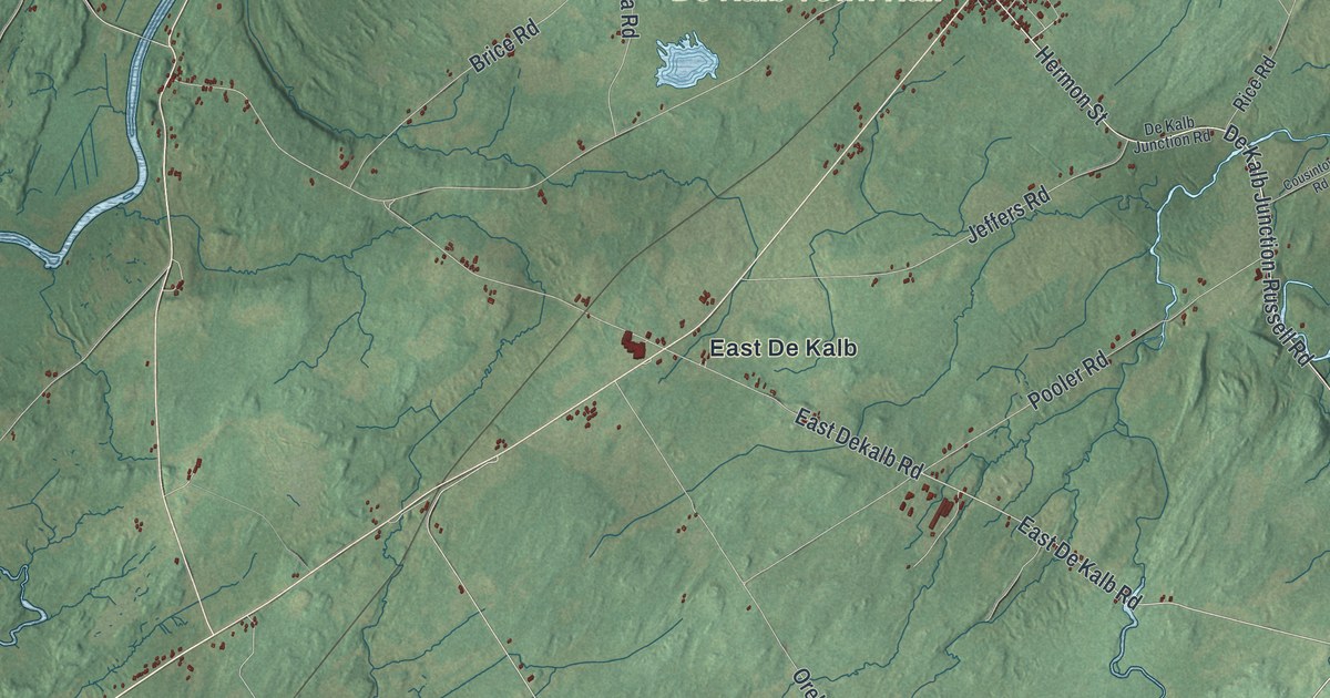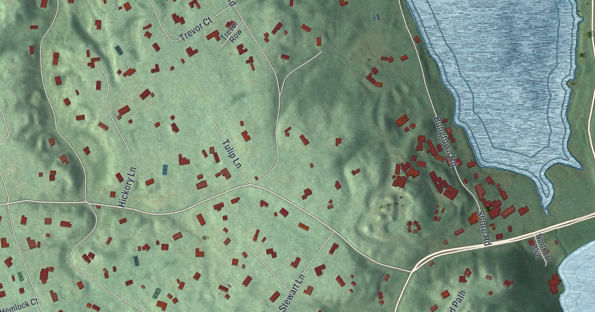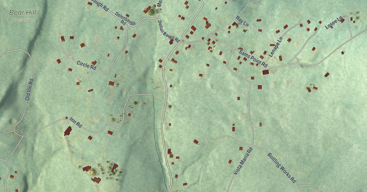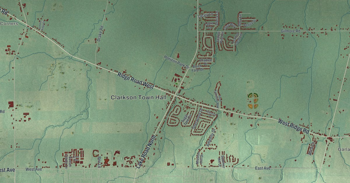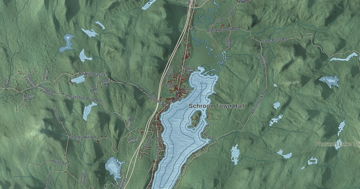
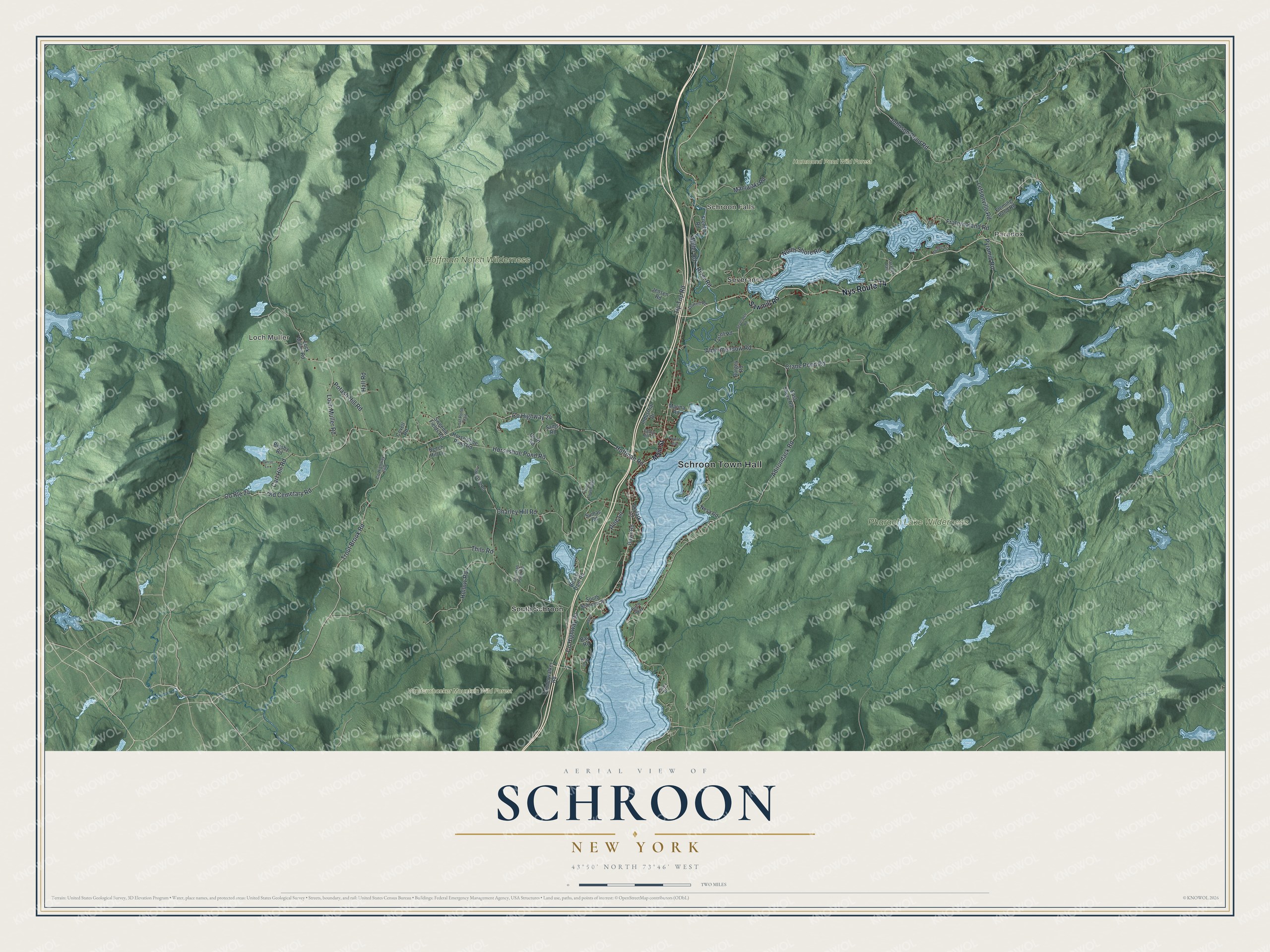
This beautifully detailed map of Schroon, New York was created in 2026 using aerial imagery combined with modern topographical, census, street and landmark data. It’s a one-of-a-kind view of Schroon that combines accurate data with a vintage aesthetic. The map shows every building in its true location, many of the roads carry their names, and the shaded topographic relief shows the shape of the land.
Explore an aerial view of Schroon, New York
On the map you’ll find Schroon Town Hall, Paradox, Loch Muller, Schroon Falls, Severance, South Schroon, Hammond Pond Wild Forest, and Vanderwhacker Mountain Wild Forest, along with Sawmill Road, Main Street, Hoffman Road, Trout Brook Road, and more. If you look closely you can even find your house accurately drawn in its correct location. Zoom in on the preview to look for yours.
Did You Know?
By 1915 cars were bringing city crowds to Schroon Lake. Big resorts like Taylor’s on Schroon, renamed Scaroon Manor, made it a top summer getaway. In 1957 Warner Brothers filmed Marjorie Morningstar at Scaroon Manor with Gene Kelly and Natalie Wood. The resort closed in 1962, and its grounds are now a state campground.
Take a closer look at the Schroon map
Names on this map
These names are printed on this map.
Places: Schroon Town Hall, Paradox, Loch Muller, Schroon Falls, Hammond Pond Wild Forest, Hoffman Notch Wilderness, Pharaoh Lake Wilderness, Vanderwhacker Mountain Wild Forest, Severance, South Schroon and Paradox Park.
Streets and roads: Nys Route 74, Hoffman Road, Trout Brook Road, Old Cemetary Road, Carl Hill Road, Loch Muller Road, County Highway 24, Crane Pond Road, Adirondack Road, Tip Top Road, Charley Hill Road, Johnson Pond Road.
More street names, A to Z
Adams Lane, Aldermeadow Road, Bay Road, Beaver Dam Road, Beech Hill Lane, Bigsby Road, Birch Way, Burgey Road, Burritt Lane, Cedar Hill Drive, County Route 24, Covell Road, Davis Road, East Shore Road, East Street, Essex Drive, Fleming Pond Road, Fowler Avenue, Fraternaland Road, French Road, Hall Road, Hayes Road, Hollow Road, Horseshoe Pond Road, Horse Shoe Pond Road, Industrial Drive, Jensen Road, Letsonville Road, Lock Muller Road, Lost Pond Trail, Main Street, Maniwaki Road, Marina Road, Miller Road, Nesa Road, North Shore Road, Pine Lane, Platt Drive, Potash Hill Road, Pyramid Road, River Road, Sams Road, Sawmill Road, Severance Road, Skylark Lane, South Schroon Road, Stowell Road, Sumac Road, Sweenie Fields Road, Thilo Road, Thurman Pond Road, Townsend Road, Tyrrell Road, Un Pr Road, Vanderwalker Road, Wood Thrush Way.
See it on a wall
The Schroon map as a framed print. Swipe for more.


This beautifully detailed map of Schroon makes an attractive addition to your office, library, or den, and it can even be used to teach children the geography and history of the area. It also makes a great gift for someone who left Schroon and still calls it home. When you’re done exploring, click here to get your copy of the Schroon map.