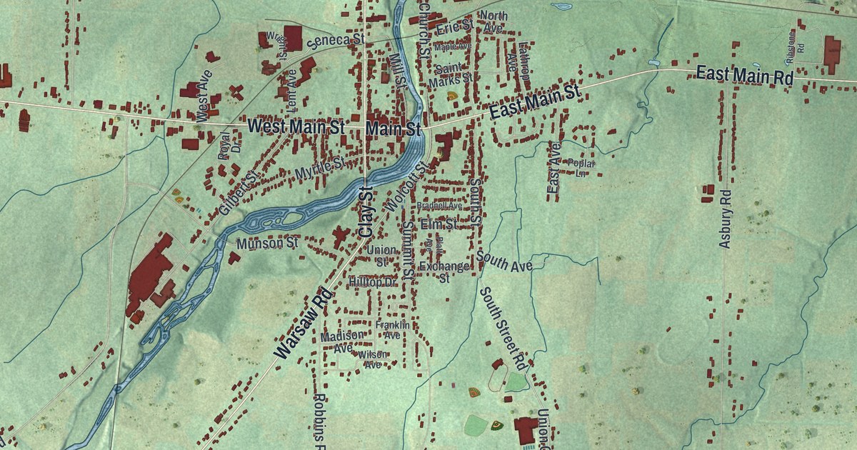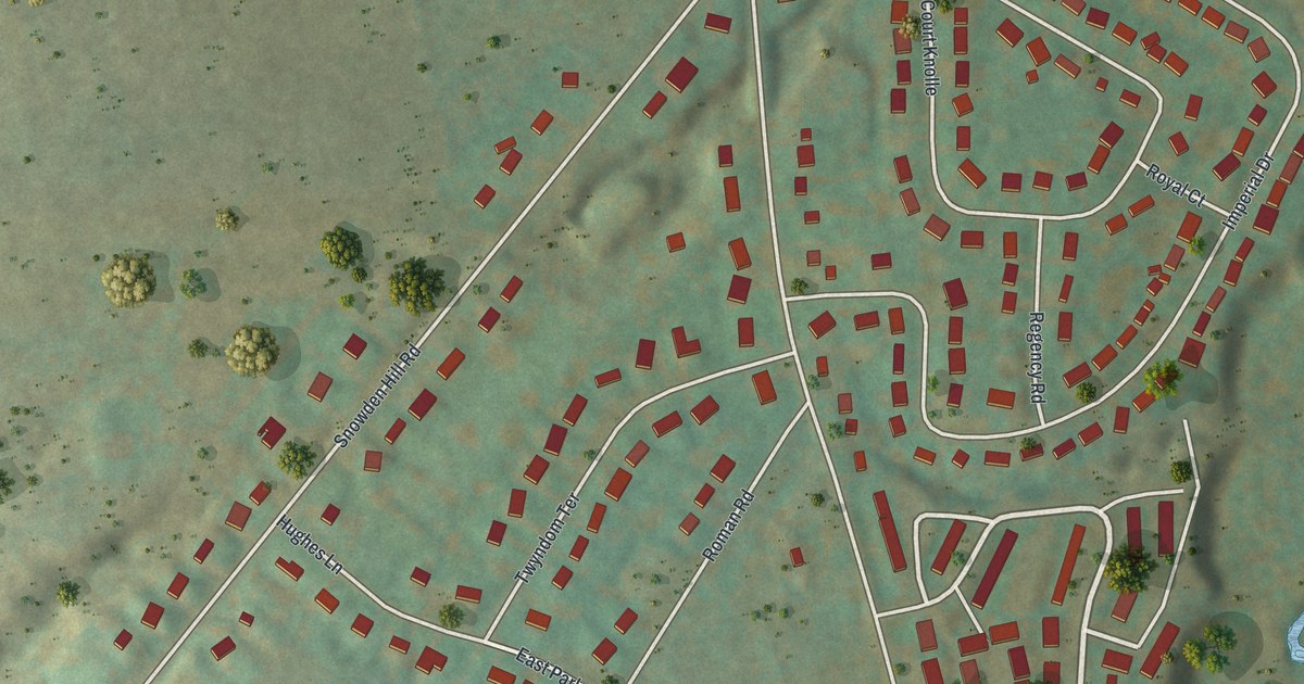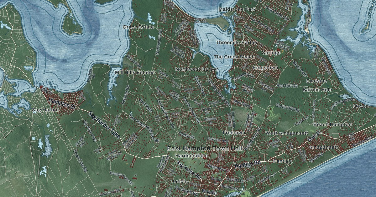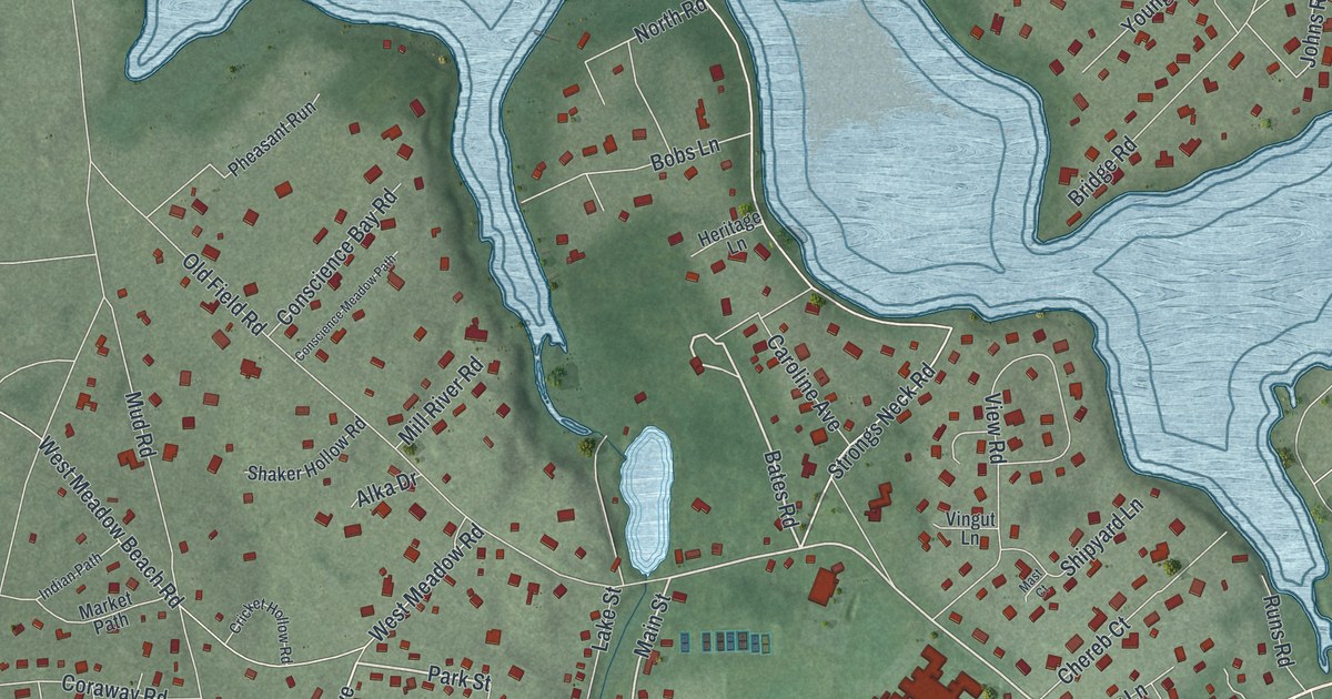
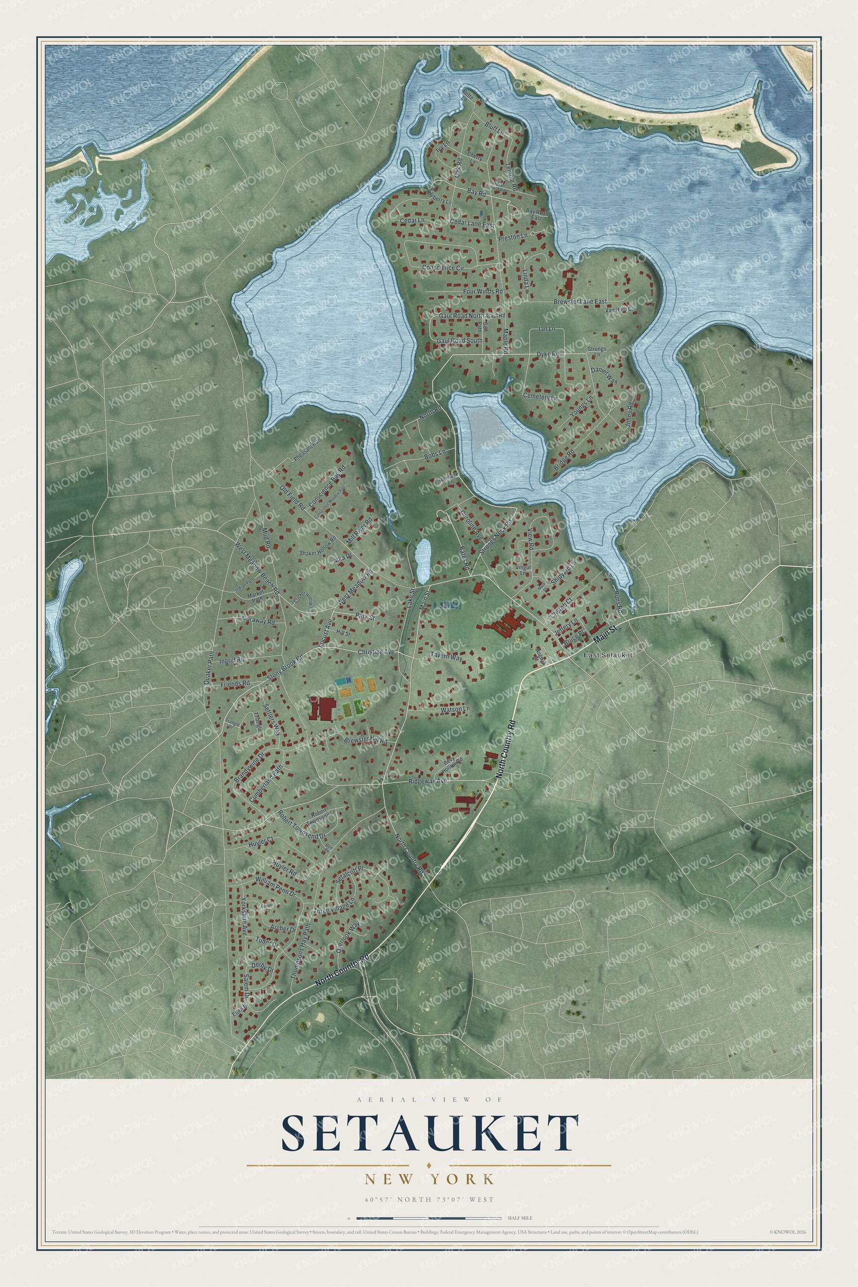
This beautifully detailed map of Setauket, New York was created in 2026 using aerial imagery combined with modern topographical, census, street and landmark data. It’s a one-of-a-kind view of Setauket that combines accurate data with a vintage aesthetic. The map shows every building in its true location, many of the roads carry their names, and the shaded topographic relief shows the shape of the land.
Explore an aerial view of Setauket, New York
On the map you’ll find East Setauket, along with North Country Road, Main Street, Stony Brook Road, Park Street, Bates Road, Bay Road, Strongs Neck Road, Cemetery Lane, Gaul Road North, Ridgeway Avenue, Preston Lane, and more. Setauket sits about 3 miles west of Belle Terre, 3 miles north of Stony Brook University and 3 miles north of Stony Brook. If you look closely you can even find your house accurately drawn in its correct location. Zoom in on the preview to look for yours.
Did You Know?
Loyalists held Setauket in the Revolution and made its Presbyterian church a fort behind a six-foot earth wall. In August 1777 General Samuel Holden Parsons brought about 150 men across the Sound from Fairfield, Connecticut, to break up the post. They sheltered behind a huge boulder, now Patriots’ Rock, still near the green with a plaque. After three hours of firing, with few hurt, Parsons went home. His volunteer Zachariah Green was that church’s minister two decades later.
Take a closer look at the Setauket map
Names on this map
These names are printed on this map.
Places: East Setauket.
Streets and roads: North Country Road, Main Street, Stony Brook Road, Park Street, Bates Road, Bay Road, Strongs Neck Road, Cemetery Lane, Gaul Road North, Ridgeway Avenue, Preston Lane, Gaul Road South.
More street names, A to Z
Alka Drive, Archer Drive, August Street, Bayberry Lane, Bay Road East, Ben Place, Bette Lane, Bevy Hollow Road, Bluff Lane, Bobs Lane, Brandywine Drive, Brewster Hill Road, Brewster Lane East, Bridge Road, Bruce Place, Caroline Avenue, Cedar Lane, Cedar Lane East, Chereb Court, Cherry Lane, Christian Avenue, Conscience Bay Road, Conscience Circle, Conscience Meadow Path, Cooper Court, Coraway Road, Cricket Hollow Road, Cumberland Path, Daniel Way, Derby Drive, Dyke Road, Eden Drive, Four Winds Road, Friends Road, Gaul Road, Gun Path, Heritage Lane, Hill Street, Huyler Court, Huyler Road, Ian Lane, Indian Field Road, Indian Path, Ingrid Road, Ivy Lane, Jeffery Lane, Johns Road, Lake Street, Linda Lane, Locust Avenue, Maple Road, Market Path, Mast Court, Mill River Road, Mud Road, North Road, Oak Road, Old Field Road, Overlook Way, Pheasant Run, Quaker Path, Robert Townsend Drive, Robert Townsend Lane, Runs Road, Salem Drive, Setalcott Place, Settlers Way, Shaker Hollow Road, Shipyard Lane, Strongs Lane, Tavern Way, Temple Road, Thompsons Hay Path, Three Village Lane, Trangle Drive, Triangle Drive, Tudor Drive, Van Horn Court, View Road, Vingut Lane, Watson Lane, West Meadow Beach Road, West Meadow Road, William Penn Drive, Yorkshire Avenue, Youngs Lane.
See it on a wall
The Setauket map as a framed print. Swipe for more.


This beautifully detailed map of Setauket makes an attractive addition to your office, library, or den, and it can even be used to teach children the geography and history of the area. It also makes a great gift for anyone who grew up in Setauket or moved away. When you’re done exploring, click here to get your copy of the Setauket map.