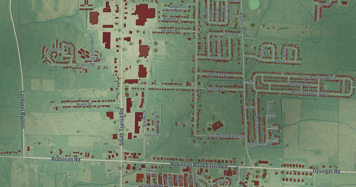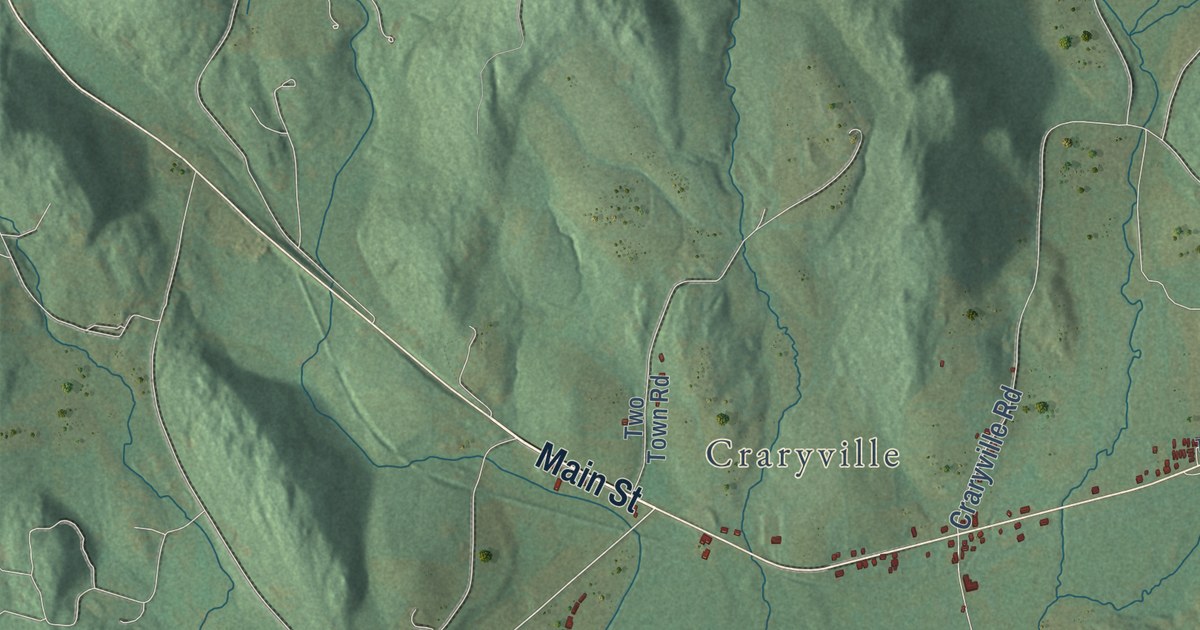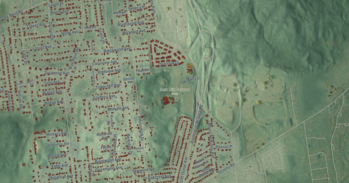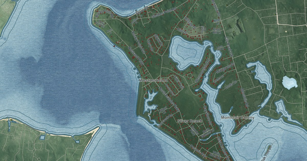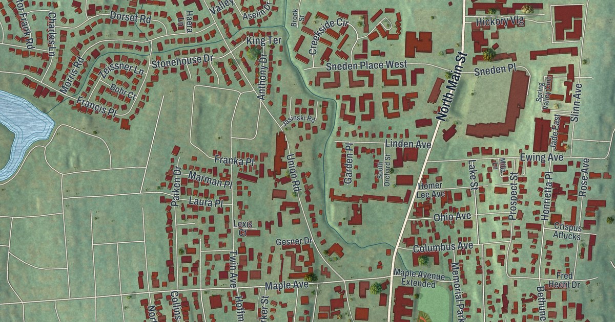
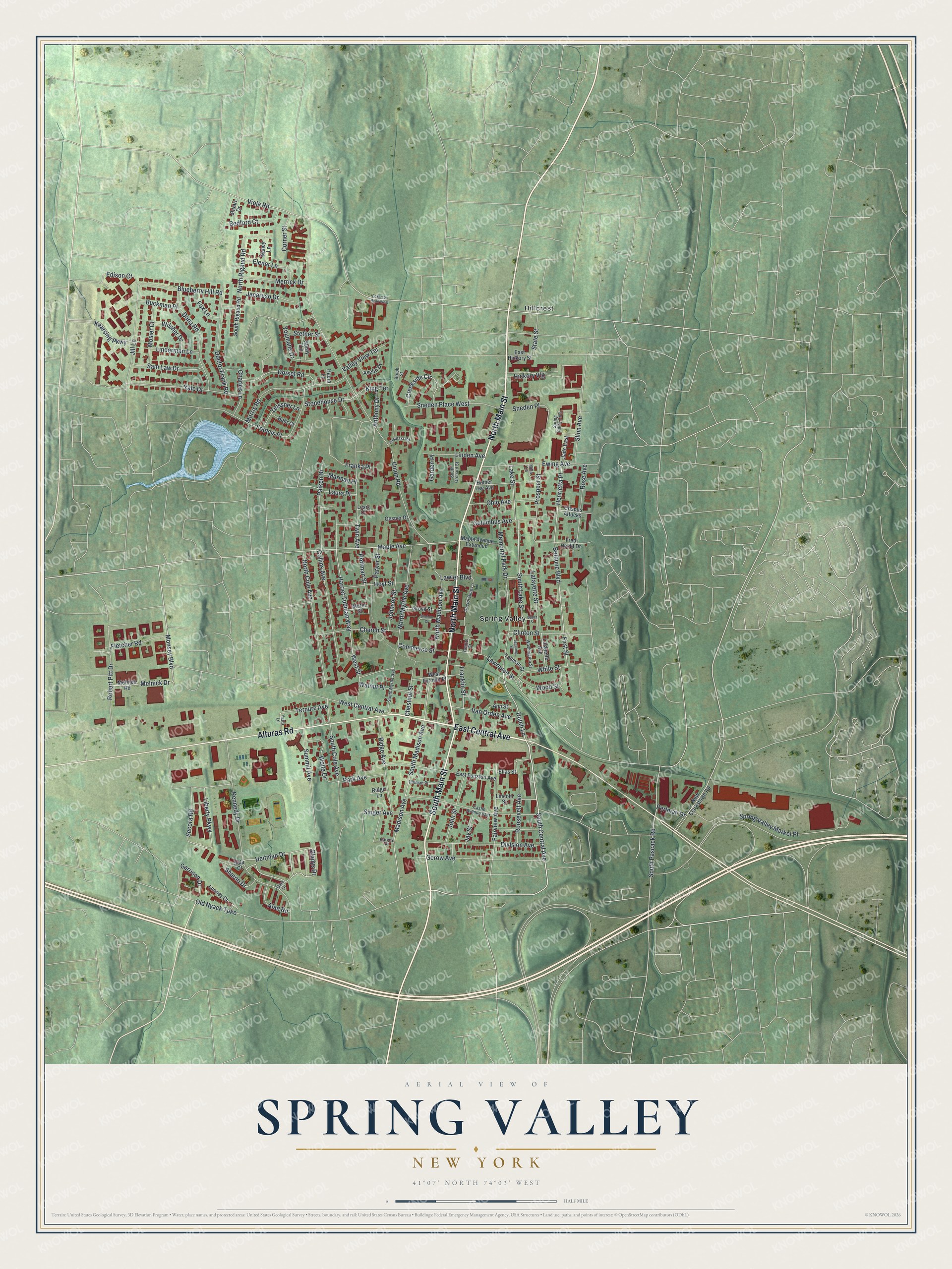
This beautifully detailed map of Spring Valley, New York was created in 2026 using aerial imagery combined with modern topographical, census, street and landmark data. It’s a one-of-a-kind view of Spring Valley that combines accurate data with a vintage aesthetic. The map shows every building in its true location, many of the roads carry their names, and the shaded topographic relief shows the shape of the land.
Explore an aerial view of Spring Valley, New York
On the map you’ll find Hillcrest, along with Central Avenue, Main Street, Alturas Road, Dutch Lane, Monsey Boulevard, and more. If you look closely you can even find your house accurately drawn in its correct location. Zoom in on the preview to look for yours.
Did You Know?
There were no homes here before the railroad came. In 1842 the New York and Erie Railroad called the spot Pascack, after a stream. Residents chose the current name because of one large spring in Valley Pond. Scottish settlers had earlier called the area Scotland.
Take a closer look at the Spring Valley map
Names on this map
These names are printed on this map.
Places: Hillcrest and Spring Valley.
Streets and roads: East Central Avenue, North Main Street, Alturas Road, South Main Street, South Central Avenue, Dutch Lane, Monsey Boulevard, Maple Avenue, Melnick Drive, Union Road, Secora Road, Madison Avenue.
More street names, A to Z
Alan Road, Ann Street, Anthony Drive, Aselin Drive, Bader Street, Bedford Court, Bethune Boulevard, Blueberry Hill Road, Bohr Court, Brook Street, Buckman Place, Castle Avenue East, Centre Street, Charles Lane, Chestnut Street, Church Street, Clinton Street, Collins Avenue, Columbus Avenue, Commerce Street, Corner Street, Creekside Circle, Crispus Attucks, Dana Road, Dina Drive, Division Avenue, Doctor Berg Lane, Doctor Frank Road, Dorset Road, East Funston Avenue, East Hickory Street, Eckerson Road West, Edison Court, Elener Lane, Elias Street, Ewing Avenue, Fairview Avenue, First Street, Fletcher Road, Fox Lane, Francis Place, Franka Place, Franklin Street, Fred Hecht Drive, Garden Place, Garrison Drive, Gerow Avenue, Gesner Drive, Gladys Drive, Grove Street, Haera Lane, Harriet Tubman Way, Harvey Place, Heitman Drive, Henrietta Place, Hickory Vlg, Hillman Place, Hoffman Street, Homer Lee Avenue, Hoyt Street, Jacaruso Drive, Jade East, Jasinski Road, Jay Street, Jill Lane, Johnson Street, John Street, Kearsing Parkway, Kennedy Drive, King Terrace, Lafayette Avenue, Lafayette Street, Lake Street, Laura Place, Lawler Boulevard, Lawrence Street, Lexis Court, Liberty Parkway, Lincoln Street, Linden Avenue, Linderman Lane, Lunney Court, Maple Avenue Extended, Marman Place, Melnick Road, Memorial Park Drive, Merrick Drive, Milla Lane, Morris Road, Mosier Court, Murin Street, Nancy Lane, New Clarkstown Road, North Cole Avenue, North Madison Avenue, North Myrtle Avenue, North Rigaud Road, Ohio Avenue, Old Nyack Turnpike, Paiken Drive, Park Avenue, Parker Street, Perlman Drive, Prospect Street, Ridge Avenue, Ridge Lane, Robert Pitt Drive, Roosevelt Avenue, Rose Avenue, Sala Court, Sam Law Drive, Seabring Street, Sharon Drive, Sholom Court, Shuart Drive, Singer Avenue, Slinn Avenue, Sneden Place, Sneden Place West, South Cole Avenue, South Lake Street, South Madison Avenue, South Myrtle Avenue, South Orchard Street, South Pascack Road, South Rigaud Road, Spring Valley Cmn, Spring Valley Market Place, State Street, Stetner Street, Stonehouse Drive, Stysly Lane, Summit Avenue, Tallman Street, Ternure Avenue, Twin Avenue, Valley View Terrace, Van Orden Avenue, Viola Road, Walnut Place, Washington Street, West Central Avenue, West Furman Place, West Street, White Street, Wilsher Drive, Wolfe Drive, Wood Street, Yale Drive, Yatto Lane, Youmans Drive, Zeissner Lane.
See it on a wall
The Spring Valley map as a framed print. Swipe for more.


This beautifully detailed map of Spring Valley makes an attractive addition to your office, library, or den, and it can even be used to teach children the geography and history of the area. It also makes a great gift for anyone who grew up in Spring Valley or moved away. When you’re done exploring, click here to get your copy of the Spring Valley map.