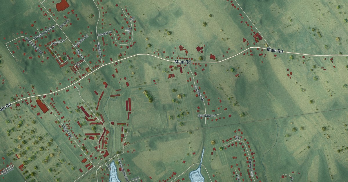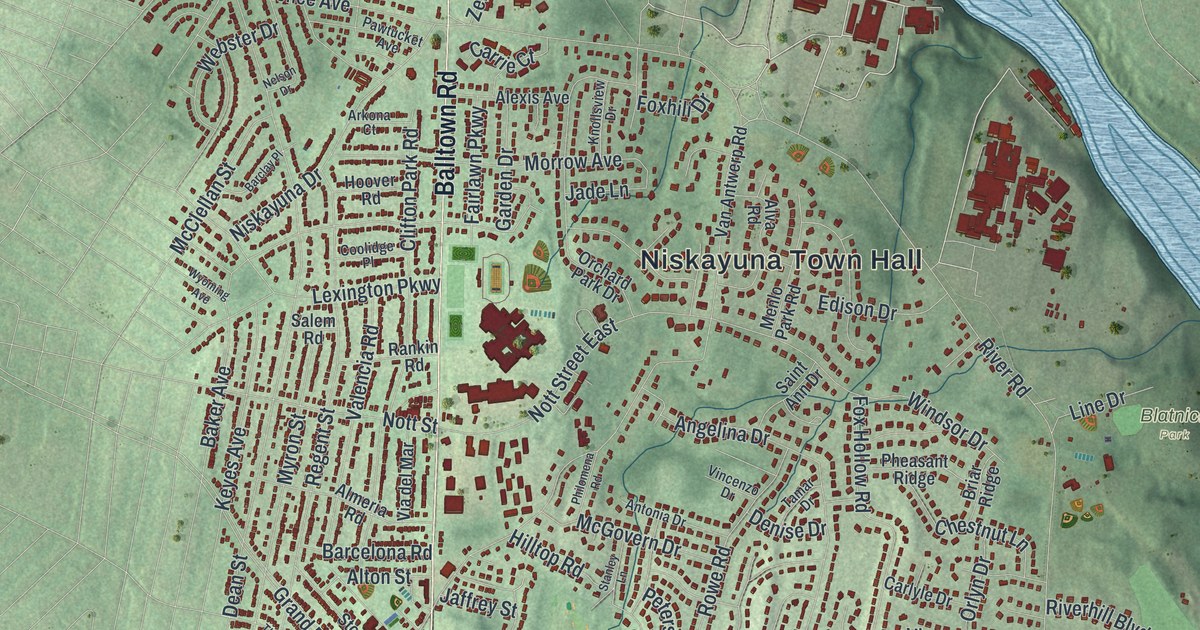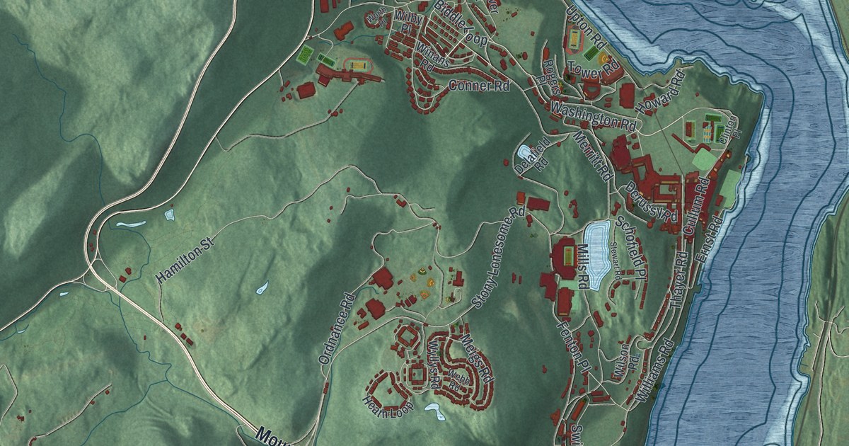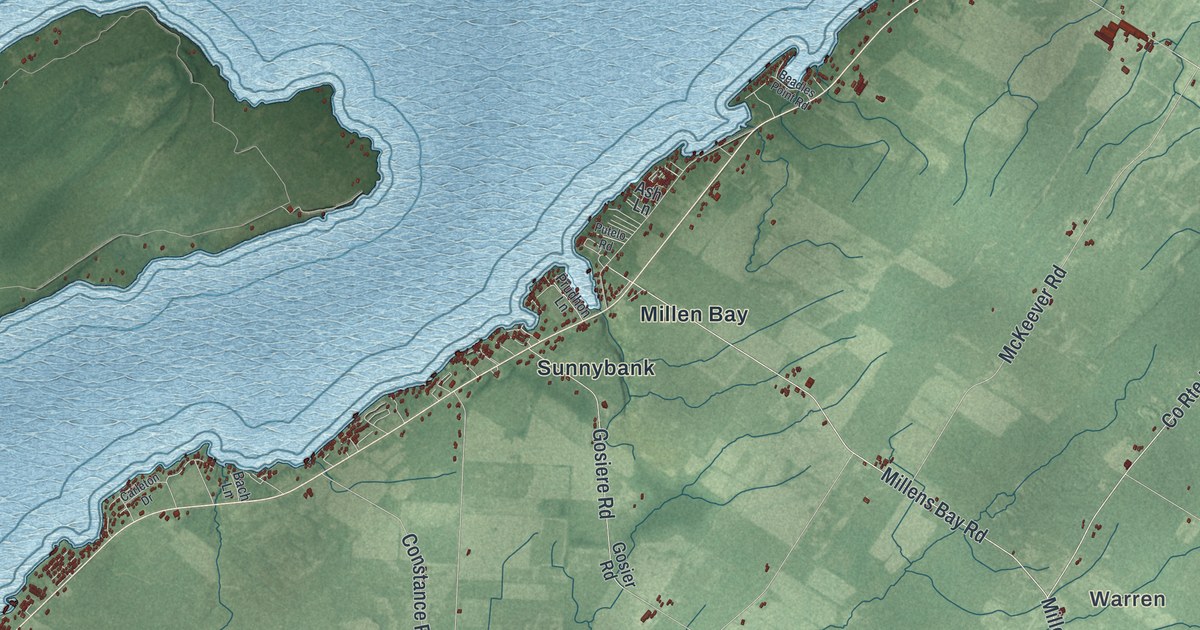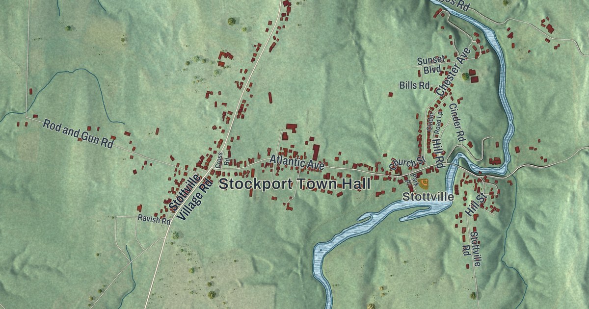
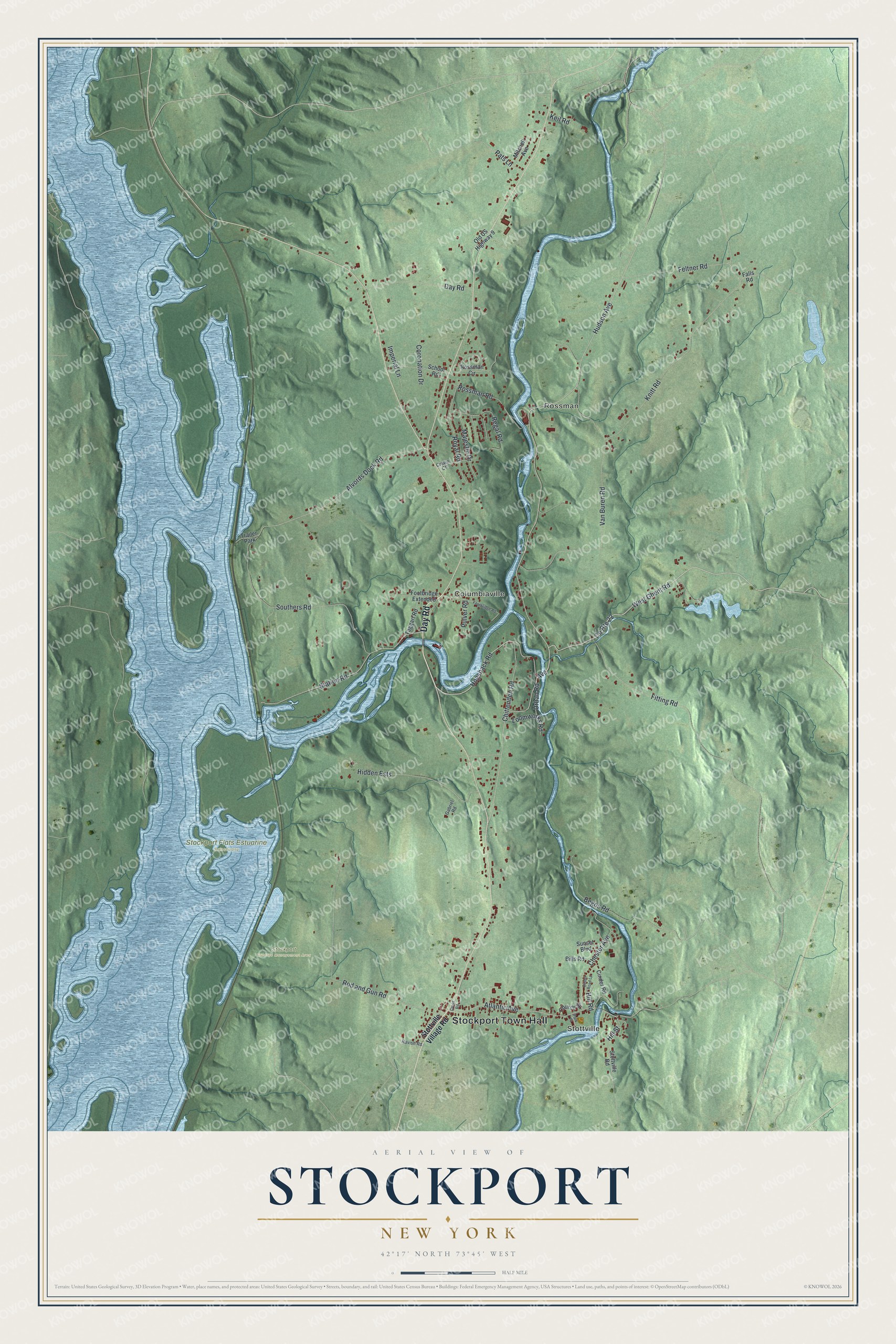
This beautifully detailed map of Stockport, New York was created in 2026 using aerial imagery combined with modern topographical, census, street and landmark data. It’s a one-of-a-kind view of Stockport that combines accurate data with a vintage aesthetic. The map shows every building in its true location, many of the roads carry their names, and the shaded topographic relief shows the shape of the land.
Explore an aerial view of Stockport, New York
On the map you’ll find Stockport Town Hall, Stottville, Rossman, Columbiaville, and Stockport Flats Estuarine Sanctuary, along with Day Road, Stottville Village Road, Ghent Road, Hogsback Road, and more. If you look closely you can even find your house accurately drawn in its correct location. Zoom in on the preview to look for yours.
Did You Know?
Settlers came to this stretch of the Hudson River around 1657. The Staats House dates from those early years. Stockport itself was formed in 1833 from parts of Ghent, Stuyvesant and the city of Hudson.
Take a closer look at the Stockport map
Names on this map
These names are printed on this map.
Places: Stockport Town Hall, Stottville, Rossman, Columbiaville, Stockport Wildlife Management Area, Stockport Flats Estuarine Sanctuary and Trailer Park.
Streets and roads: Day Road, West Ghent Road, Hogsback Road, Hudson Avenue, Chittenden Road, Avenue, Alvords Dock Road, Fitting Road, Van Buren Road, Rod and Gun Road, Atlantic Avenue, Knitt Road.
More street names, A to Z
Begos Road, Bills Road, Chester Avenue, Church Street, Cinder Road, Cinder Road Lp, Coronation Drive, County Route 22, Cross Road, Crown Court, Falls Road, Feltner Road, Footbridge Extended, Footbridge Road, Gabriel Road, Hidden Ests, Hill Road, Hill Street, Imperial Lane, Keil Road, Loomworks Road, Majestic Drive, Mitchell Avenue, Old US Highway 9, Park Place, Pats Lane, Pulver Road, Ravish Road, Regal Road, Rossman Circle, Rossman Road, Royal Road, School Road, Southers Road, Station Road, Stottville Road, Stottville Village Road, Sunset Boulevard, Taggart Road, Urban Road.
See it on a wall
The Stockport map as a framed print. Swipe for more.


This beautifully detailed map of Stockport makes an attractive addition to your office, library, or den, and it can even be used to teach children the geography and history of the area. It also makes a great gift for anyone who grew up in Stockport or moved away. When you’re done exploring, click here to get your copy of the Stockport map.