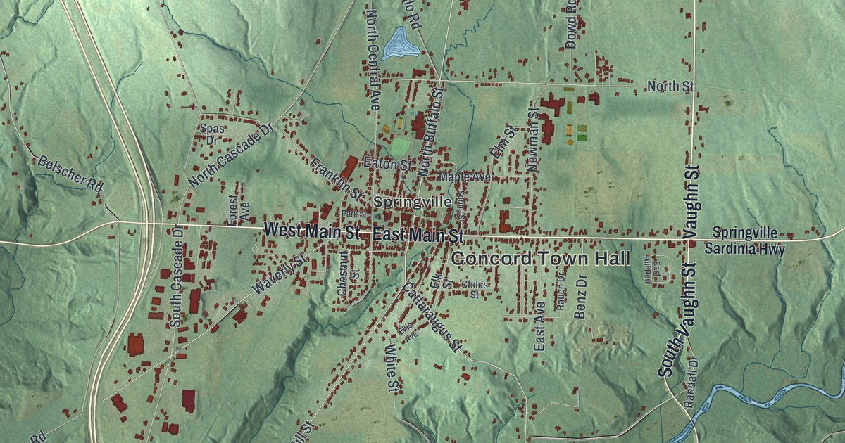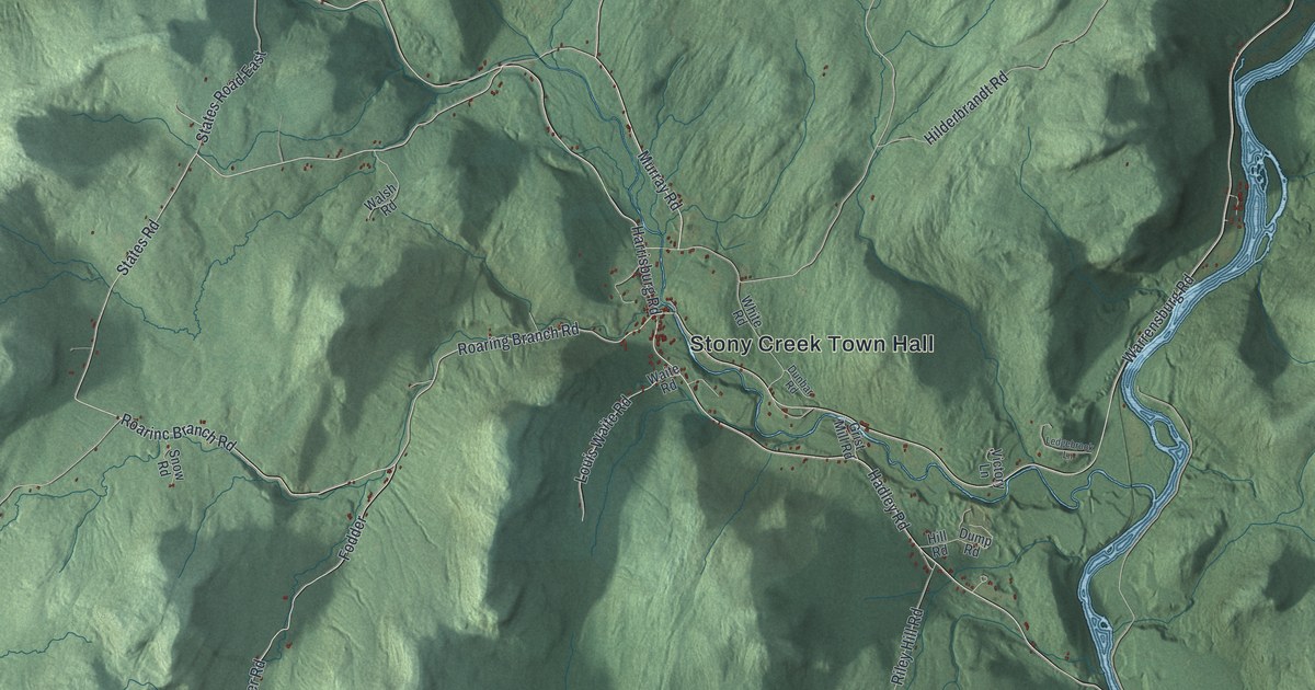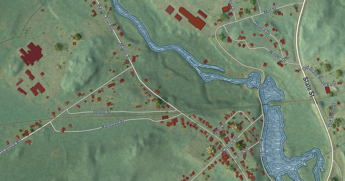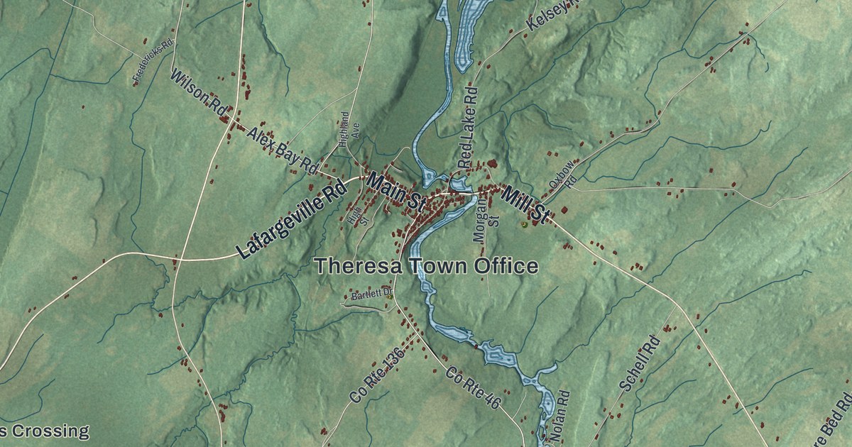
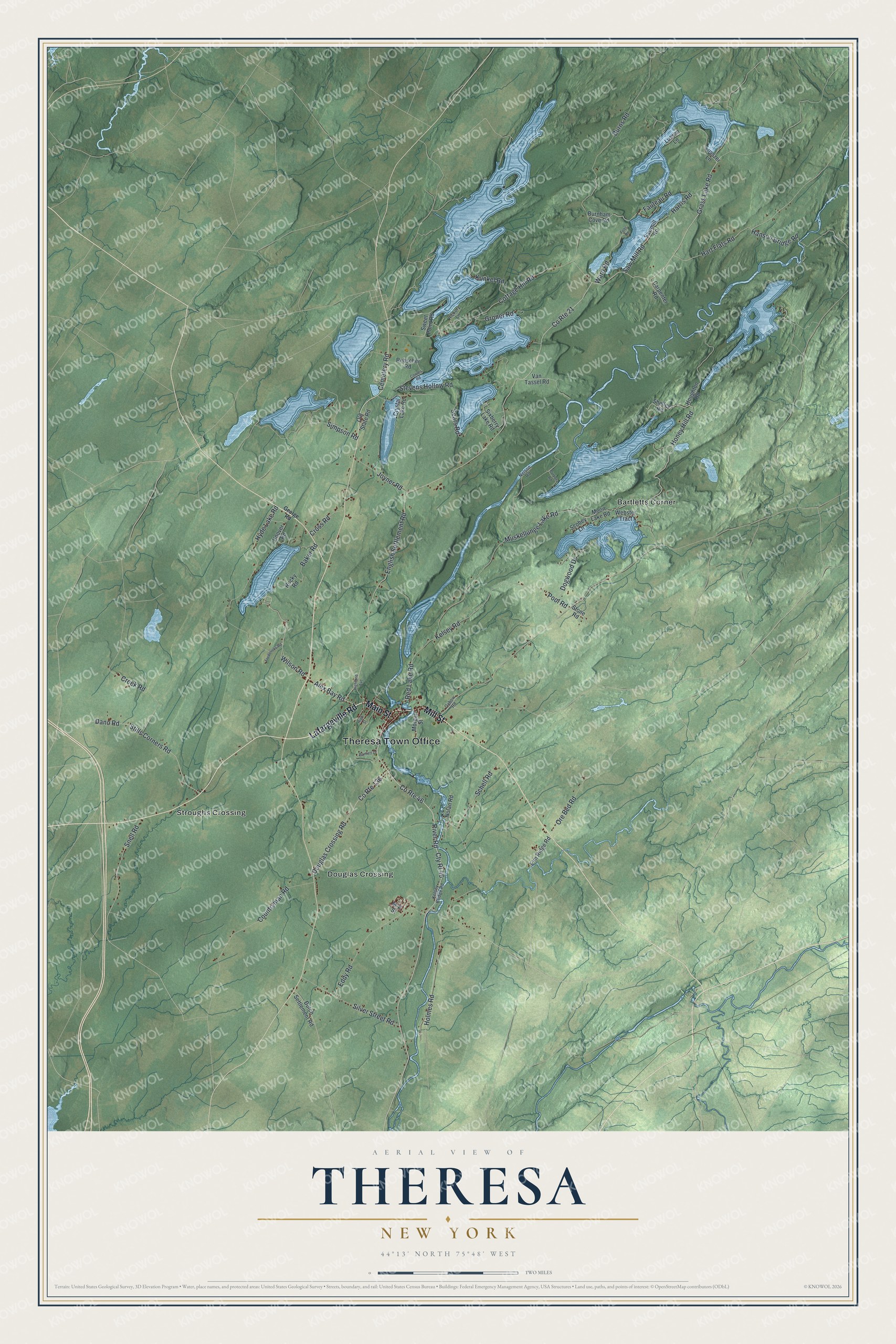
This beautifully detailed map of Theresa, New York was created in 2026 using aerial imagery combined with modern topographical, census, street and landmark data. It’s a one-of-a-kind view of Theresa that combines accurate data with a vintage aesthetic. The map shows every building in its true location, many of the roads carry their names, and the shaded topographic relief shows the shape of the land.
Explore an aerial view of Theresa, New York
On the map you’ll find Theresa Town Office, Bartletts Corner, Douglas Crossing, and Stroughs Crossing, along with Lafargeville Road, Main Street, Mill Street, George Road, and more. If you look closely you can even find your house accurately drawn in its correct location. Zoom in on the preview to look for yours.
Did You Know?
Theresa was the birthplace of Roswell P. Flower, governor of New York from 1892 to 1895. He worked in turn as a farm boy, millhand and teacher. In a first race for Congress against William Waldorf Astor, Flower joked that the opponent counted rents by the millions. He said he had only the rents in his clothes. That’s from the 1940 WPA guide to New York.
Take a closer look at the Theresa map
Names on this map
These names are printed on this map.
Places: Theresa Town Office, Bartletts Corner, Douglas Crossing and Stroughs Crossing.
Streets and roads: Lafargeville Road, Main Street, Mill Street, Wilson Road, Alex Bay Road, River Road, Grass Lake Road, Cottage Hill Road, Hart Flats Road, English Settlement Road, County Route 46, Honey Hill Road.
More street names, A to Z
Baker Road, Bartlett Drive, Burnham Cove Road, Burns Road, Carpenter Road, Cemetery Road, Countryman Road, County Route 21, County Route 136, Cowles Road, Creek Road, Cross Road, Crystal Lake Road, Cty Rt 46, Dano Road, Dogwood Drive, Douglas Crossing Road, Dutch Settlement Road, Eddy Road, Elm Ridge Road, Fauteau Road, Folts Road, Fredericks Road, George Road, Groner Road, Hanson Bridge Road, Harris Road, Hickory Lane, Highland Avenue, High Street, Holmes Road, Hoover Road, Houghton Road, Hyde Lake Road, Joyner Road, Kelsey Bridge Road, Kelsey Road, Kunkel Road, Lussier Lane, Lusszer Lane, M-K Street, Moon Lake Road, Morgan Street, Muskellunge Lake Road, Nelson Road, Nolan Road, Old State Road, Ore Bed Road, Oxbow Road, Pool Road, Purpora Road, Rebscher Road, Red Lake Road, Rocky Road, Saw Mill Road, Sawmill Road, Schell Road, Scobey Lane, Sears Road, Shelley Road, Silver Street Road, Simpson Road, Sixberry Lake Road, Snell Road, Stevens Hollow Road, Stills Corners Road, Stone Road, Sweet Point Road, Van Tassel Road, Ward Road, Webster Tract.
See it on a wall
The Theresa map as a framed print. Swipe for more.


This beautifully detailed map of Theresa makes an attractive addition to your office, library, or den, and it can even be used to teach children the geography and history of the area. It also makes a great gift for anyone who grew up in Theresa or moved away. When you’re done exploring, click here to get your copy of the Theresa map.