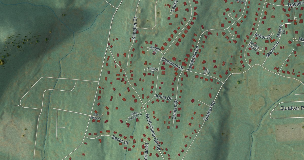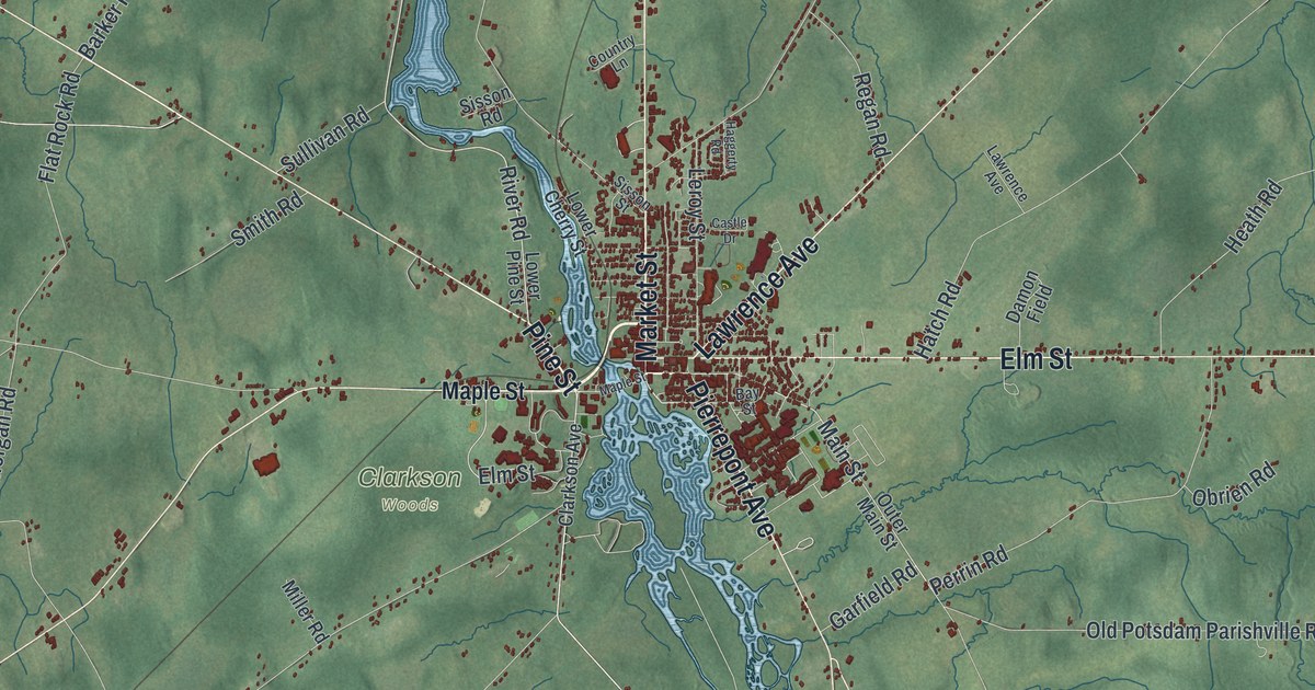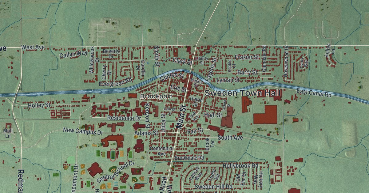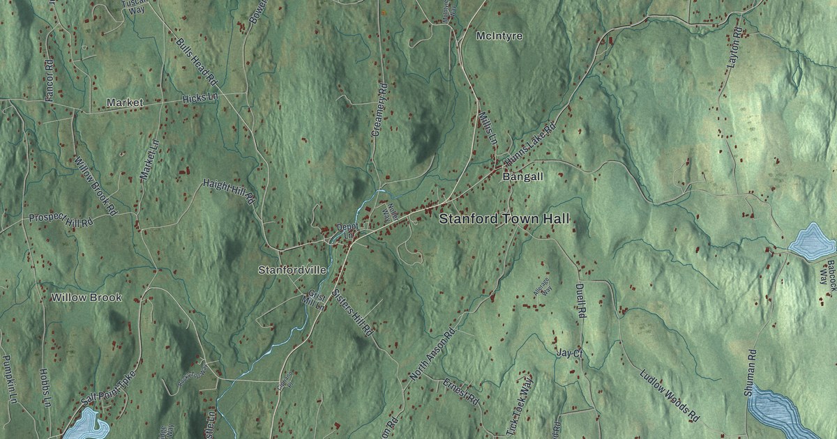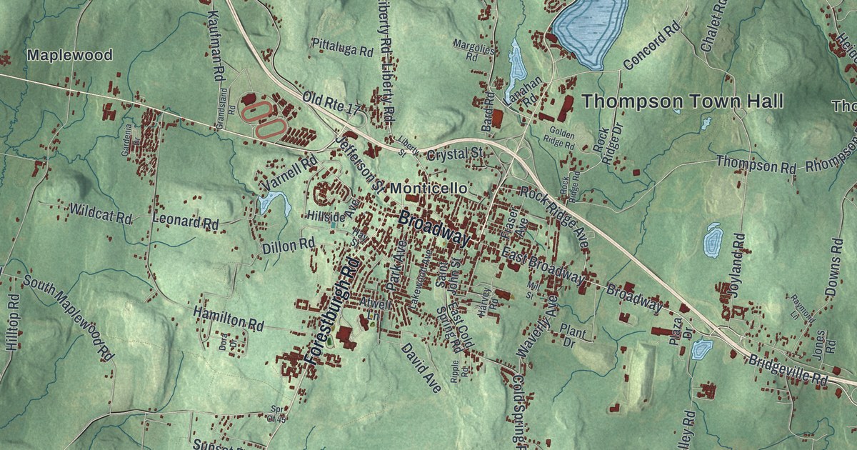
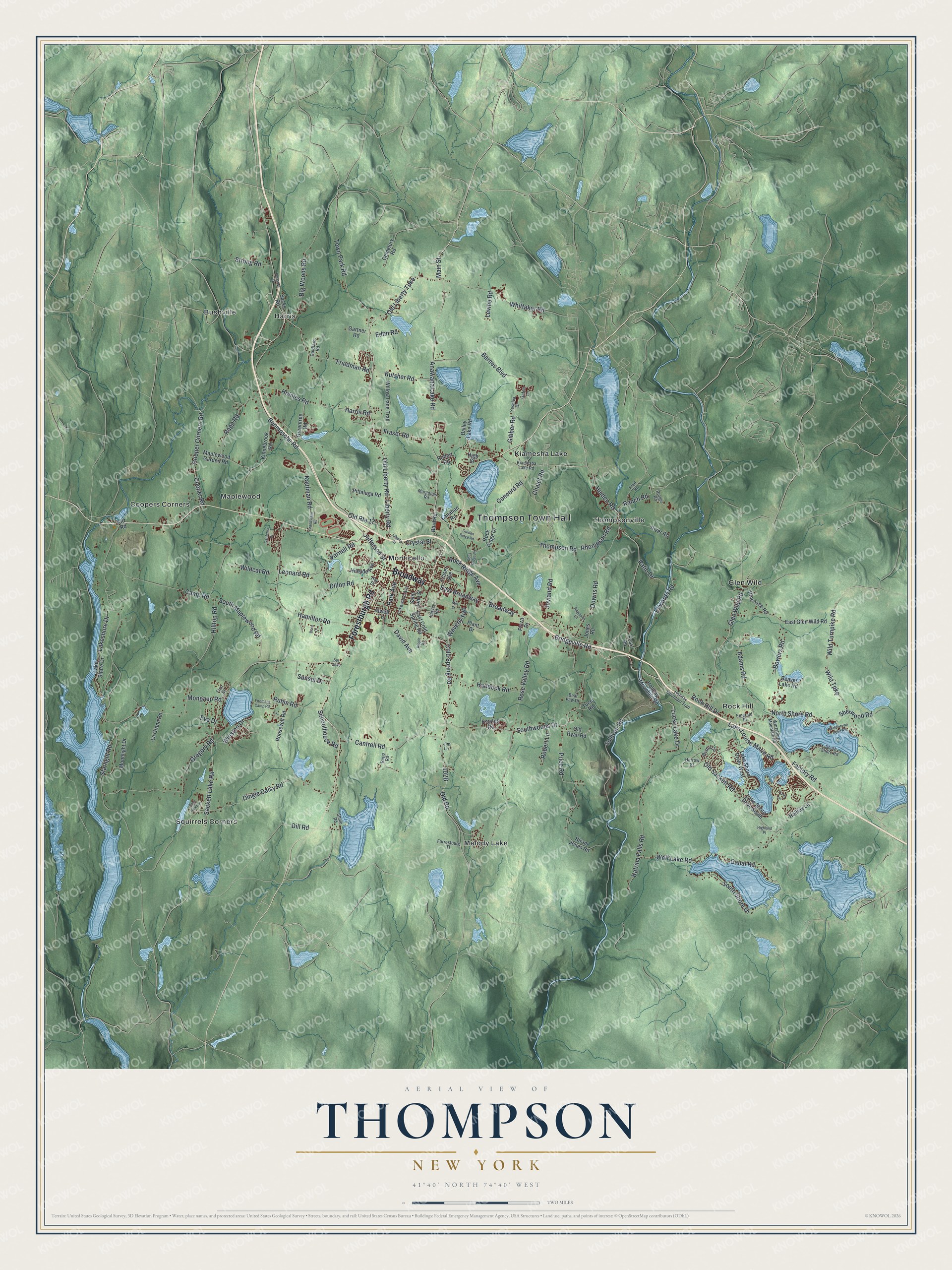
This beautifully detailed map of Thompson, New York was created in 2026 using aerial imagery combined with modern topographical, census, street and landmark data. It’s a one-of-a-kind view of Thompson that combines accurate data with a vintage aesthetic. The map shows every building in its true location, many of the roads carry their names, and the shaded topographic relief shows the shape of the land.
Explore an aerial view of Thompson, New York
On the map you’ll find Thompson Town Hall, Bushville, Coopers Corners, Glen Wild, Harris, and Kiamesha Lake, along with Forestburgh Road, Liberty Road, Harris Road, Old Liberty Turnpike, and more. If you look closely you can even find your house accurately drawn in its correct location. Zoom in on the preview to look for yours.
Did You Know?
This Sullivan County town honors William A. Thompson. He settled here early and later sat as the county’s very first judge. Two farmers were the first Europeans to arrive, in 1749, and they began a small settlement by Dutch Pond. Thompson split off from Mamakating in 1803.
Take a closer look at the Thompson map
Names on this map
These names are printed on this map.
Places: Thompson Town Hall, Bushville, Coopers Corners, Glen Wild, Harris, Kiamesha Lake, Maplewood, Melody Lake, Monticello, Rock Hill, Squirrels Corners and Thompsonville.
Streets and roads: Broadway, Forestburgh Road, Old Route 17, Liberty Road, Harris Road, Old Liberty Turnpike, Main Street, Bridgeville Road, Rock Ridge Avenue, Chalet Road, Wild Turnpike, Jefferson Street.
More street names, A to Z
Adams Road, Anawana Lake Road, Atwell Lane, Bailey Lake Road, Bard Road, Barnes Boulevard, Base Hillel Lane, Bear Paw Drive, Beaver Lake Road, Benmosche Road, Big Woods Road, Bowers Road, Bristol Circle, Camp Road, Canal Road, Cantrell Road, Cemetery Road, Cold Spring Road, Concord Road, Cooper Corners Road, Cooper Road, Crystal Street, David Avenue, Dillon Road, Dill Road, Dingle Daisy Road, Dora Drive, Downs Road, East Broadway, East Cold Spring Road, East Glen Wild Road, Eden Road, Edwards Road, Emerald Place, Estates Road, Eva Drive, Factory Road, Firemans Camp Road, First Street, Forrestburg Tl, Foss Road, Fraser Avenue, Fraser Road, Fred Road, Friedman Road, Gafen Lane, Gardenia Drive, Gartner Road, Gibber Road, Glen Wild Road, Golden Ridge Road, Goldfarb Road, Grandstand Road, Greentree Road, Gregory Road, Haddock Road, Halifax Lane, Hamilton Road, Harrow Street, Harvey Road, Hay Street, Heiden Road, Highland Place, High Street, Hillside Avenue, Hilltop Road, Hiram Jones Road, Holiday Mountain Road, Holiday Mountain Trail, Holmes Road, Jim Lane, Jones Road, Joyland Road, Katrina Falls Road, Kaufman Road, Kiamesha Lake Road, Kinnebrook Road, Kitz Road, Kutsher Road, La Grand Road, Lake Louise Marie Road, Lakeshore Drive, Lake Shore Drive, Lake Shore Drive South, Lake Shore Drive West, Lakewood Avenue, Lanahan Road, Leonard Road, Levine Road, Liberty Street, Lucky Lake Drive, Maplewood Garden Road, Margolies Road, Middletown Point Road, Mill Street, Mongaup Road, Moonlight Drive, North Shore Road, Old Liberty Road, Old Road, Old Ryan Road, Old Sackett Road, Park Avenue, Patio Drive, Pine Tree Road, Pittaluga Road, Plant Drive, Plaza Drive, Pleasure Drive, Pond Lane, Price Road, Ranch Road, Rapp Road, Raymond Lane, Rhompson Road, Ripple Road, River Road, Robert Lane, Robert Road, Rock Hill Drive, Rock Ridge Drive, Rock Ridge Road, Roosevelt Road, Rose Valley Road, Rubin Road, Rupp Road, Rutger Road, Sackett Lake Road, Sacks Road, Saint John Street, Schoolhouse Road, Shale Road, Sherwood Road, South Maplewood Road, South Shore Drive, South Shore Road, Southwoods Drive, Spr Of 45, Starlight Road, Strong Road, Sullivan Road, Sunset Drive, Thompson Road, Town Park Road, Tucci Road, Varnell Road, Waverly Avenue, Whittaker Road, Wildcat Road, Wild Turnpike Road, Willow Lane Trail, Winston Drive, Wolf Lake Road, Wurtsboro Mountain Road, Yeshiva Drive.
See it on a wall
The Thompson map as a framed print. Swipe for more.


This beautifully detailed map of Thompson makes an attractive addition to your office, library, or den, and it can even be used to teach children the geography and history of the area. It also makes a great gift for someone who left Thompson and still calls it home. When you’re done exploring, click here to get your copy of the Thompson map.